Location
California,
US
Distance
25.5 mi
Vertical Gain
1,850 ft
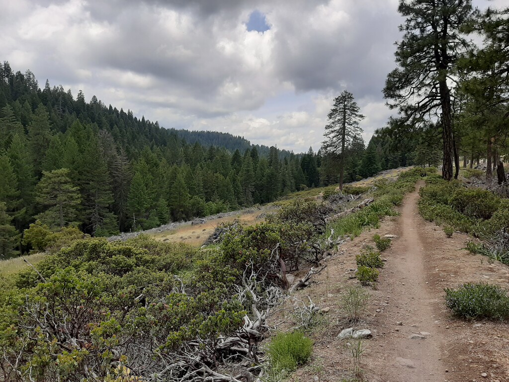
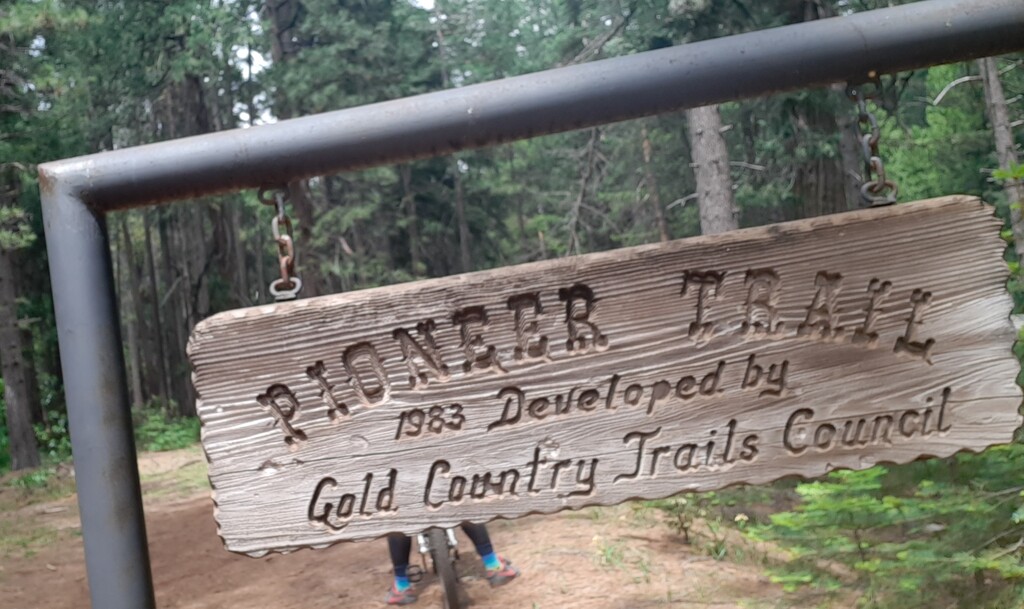
Description
GPS Track
FKTs
Male
| Brannon Forrester | 3h 48m 23s |
| Ben Mitchell | 5h 2m 5s |
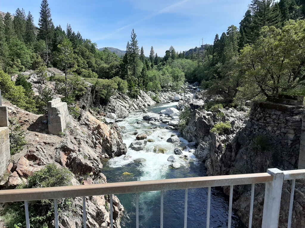
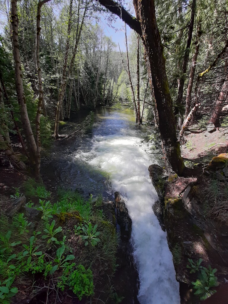
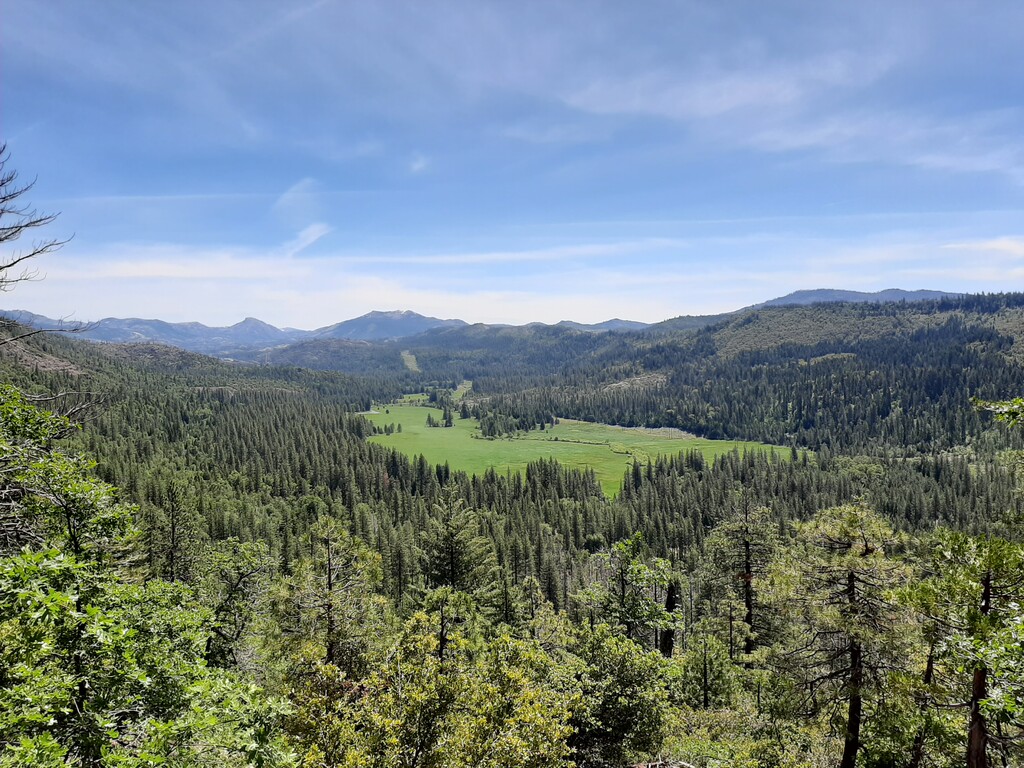
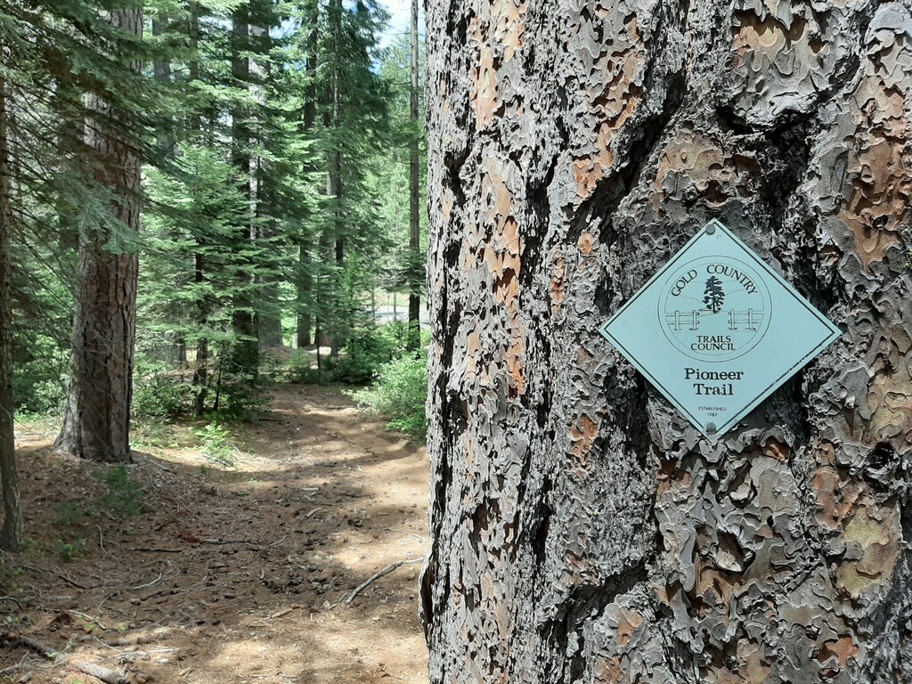
Images
Comments
I was hoping to give this route a go, but as of July 2023 there is substantial roadwork on the 20 that has closed and wiped out parts of this trail.
Caltrans has limited information on the expected end date of this roadwork (looks like it was supposed to be done by April of 2022).
For anyone interested in this trail, check out the trail status on the USDA website before attempting.
Hopefully this trail will be back in one piece again.