Unsupported thru-hike of the Adirondack 46 High Peaks.
Day 1 - 3:30 am depart from Corey's Road in the western portion of the high peaks region. Day consisted of 7 mountains: Seward, Donaldson, Emmons, Seymour, Santanoni, Panther & Couchsachraga. We out and backed the first three, out and backed the fourth. Trekked about 10 miles to the next range (Santanoni range). We set up camp at the base, then we went up the expressway to summit Santanoni first, followed by Panther, and then finished with Couchsachraga. We came down the Panther brook trail before staying at camp at base of expressway again. Approximately 37.84 miles.
Day 2: From camp we hiked over to Allen mountain, out and backed it before moving up towards the Colden/Avalance lakes. We out and backed Mount Marshall before setting up camp over the dam at Lake Golden. We summited 2 mountains and covered approximately 28.47 miles.
Day 3: The Loj Loop day. Summiting 8 mountains and doing a big circle before returning to the same place we camped the night before; we started by going up the backside of Colden, then tabletop, phelps, street, nye, Wright, Algonquin and finishing on Iroquis. Approximately 32.18 miles
Day 4: Audible day. Started by moving to the base of Cliff and Redfield (out and backs), then trekking up towards Gray, Skylight, Marcy, Haystack, Basin and finishing with Saddleback. Due to it raining all day, made the game time decision to check out and head towards Johns Brook Lodge where we camped at the trailhead of Big Slide Mountain (setting ourselves up the next day to finish the Great Range and start moving east). Summited 8 mountains and covered approximately 22.5 miles.
Day 5: Out and backed Big Slide early in the AM, before climbing up towards Great Range. First we summited Lower Wolfjaw, then Upper Wolfjaw, Armstrong, Gothics and Sawteeth. We then headed down trail to Lower Ausable Lake. Next we did Colvin and Blake before camping between those two mountains and what would be the first one of Day 6, Nippletop. In total we summited 8 peaks again and covered 23.97 miles.
Day 6: Started by ascending Nippletop, moved on over to Dial, then bushwhacked down towards the Dix Range. Once we got down from bushwhack/brook we dropped bags and then out and backed the entire Dix Range: Dix, Hough, South Dix, Grace Peak & Macomb. From there we got our bags again and then moved our stuff over to roaring brook and the base of Giant Mountain. In total we covered 25.26 miles and summited 7 peaks.
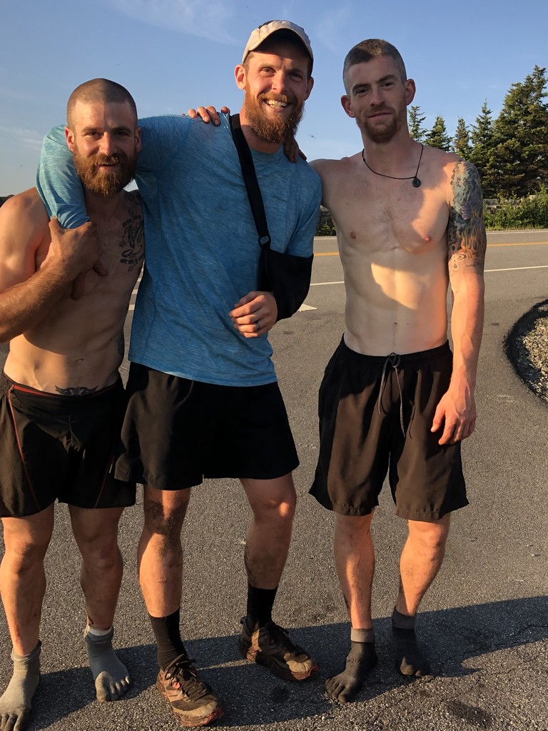
Day 7: The 24 hour day. Woke up at 3 am and went to get Giant and Rocky Ridge Peak (out and backs). From there we picked up our stuff again and schlepped ourselves 5.5 miles down route 73 toward Marcy airfield. Next up was cutting from one side of 73 to the Lake Placid side of 73 along the ridge trail that summited Porter and Cascade Mountains. Off of those we had then a 10 mile stretch on route 73 and then river road towards the trailhead to Whiteface mountain. Using the trail by Connery pond we entered that portion at 1030 PM and was able to summit both Whiteface and then Esther by 3:15 am. About 23 hour and 30 minutes of moving time we summited our final 6 peaks and covered 44.18 miles. [Added by Admin: They reached Memorial Highway by 06:22am, where a time-stamped photo was taken. Lukas & Michael were of the mind that the clock stopped on the final summit, so they didn't keep a GPS track of the hike from Ester to the highway. This addresses some of the discussion in the Comments section below.]
Comments
Hey guys, congrats on the excellent effort, especially that insane final day! I'm glad I ran into you on the Dix Range and got to see you in action. One thing: the report above makes it seem like you stopped the clock on the top of Esther. If it's just worded that way I'd recommend editing it to clear it up. If you did stop it there though, that's not the way the thru-hike is timed, and you should change your final time to reflect the trailhead to trailhead time. Thanks, and once again great job and congrats on the super fast hike.
I am really curious if you could post the total elevation gain and loss for this route. Did your GPS log that info? Congratulations gentlemen. That’s some feat.
Great job Guys!!! It sounds like you really suffered in the rain coming down from Algonquin and all the next day. You must have been really motivated. I think you stopping time at Ester is fine that’s how Jan and Cory did it 10 years ago and that’s how I did it last year. Also it is when you completed the last peak. I want to THANK Jan W and Cory D for writing up their summit traverse. It truly inspired me. We all owe them a debit for showing us what is possible. Lukas and Mike now you have put down another marker for us to strive for. Congratulations
Ian
I stand corrected Jan and Cory stopped their time at the trail head at the bottom of Ester.
Im still of the mind that time should Start at 1st trail head and end at the summit of last summit. Since when someone sets a speed record to a summit they don’t also have to descend back to trail head in order to stop their time.
Ian
In my opinion any mountain range traverse should end at a trail head not on a summit. It just doesn't make sense to stop the clock when you're not done. Also looking at their last GPS track it doesn't show them going out to Esther. Am I missing something?
Lukas sent a photo of themselves on the Memorial Hwy shortly after finishing off Ester, establishing the total TH-to-TH time. They were thinking the clock stops on the last summit, so didn't keep a GPS track for hiking off Ester. I have updated their time so that it is now directly comparable to the previous FKT. Future thru-hike FKTs should be TH-to-TH as well.
New guy here. What's the difference between Standard and Thru Hike? Amazing accomplishment none the less!
A reasonable question! The 46ers are like the CO and CA 14ers, the NH 4000, and a few others, in that the usual method is still an Elapsed Time event (total time start to finish), as one does all the routes to the summits (often linking summits rather than going to the bases each time), but notably are driven to the trailheads by a crew. A Thru Hike on these means they are walking from start to finish never getting in a vehicle (also called "Self-powered").