I found this FKT when searching for routes close to me (southwestern Indiana). I hiked the western half of this trail back in 2020 and the eastern half a month ago. The 2 lap variation looked more within my pace, as I enjoy hiking more than running. I have been focused on improving my aerobic system for the last 5 months and wanted to put that training to the test.
I decided on attempting this FKT in self supported style on October 14th and 15th. The plan was to start at 10:00pm eastern time so that the 2nd lap would be during daylight in case I needed to speed things up. I arrived early to O’Bannon Woods State Park on the 14th. I placed 2 resupply buckets, 1 at the Pioneer Picnic area and 1 at the Forest Road trailhead. The buckets contained the water and food I used during those sections of the trail. I parked my car at the Rock Creek parking area and used it as a resupply stop in between laps.
The forecast for the weekend showed rain moving through the area Friday night and then clearing out Saturday with a small chance of rain the rest of the time. There ended up being small pockets of drizzle that went through the area on Saturday afternoon. About 15 minutes before I was scheduled to start actual rain started to fall. I grabbed the umbrella and hiked the first 30 minutes under it.
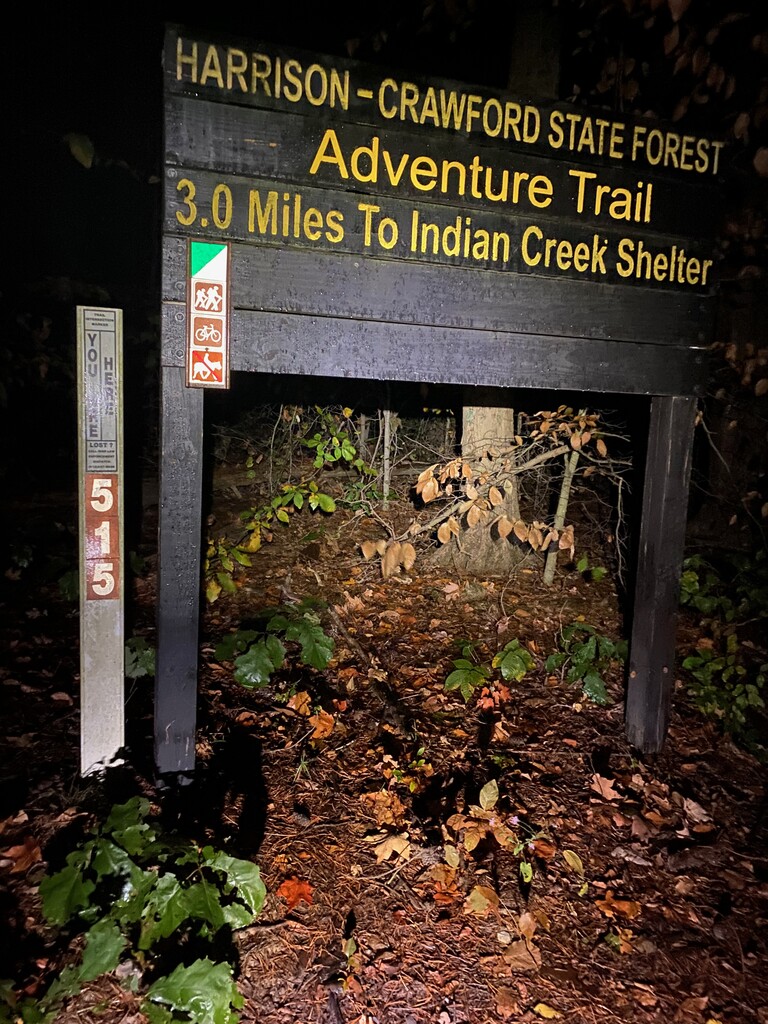
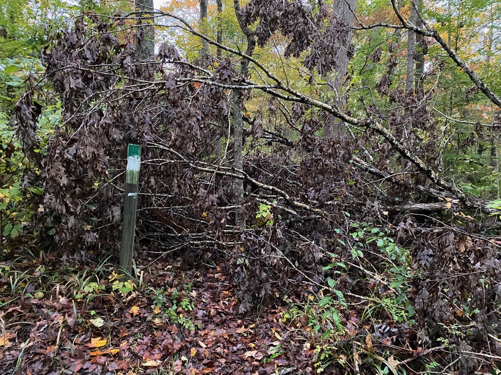
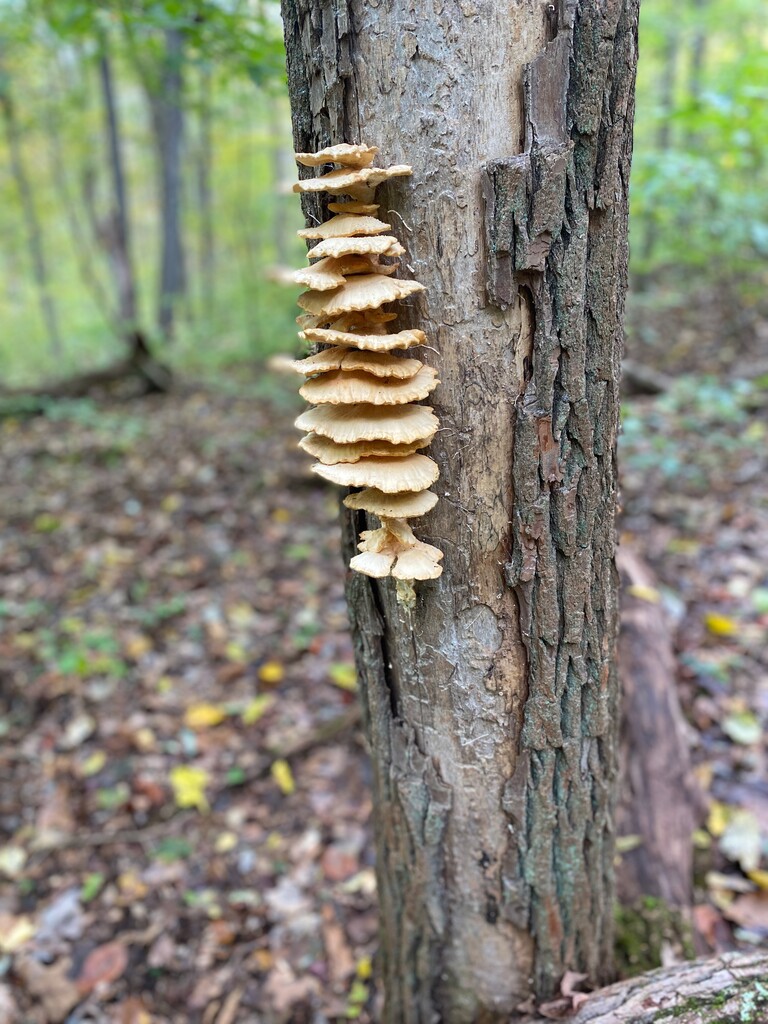
I walked to the gate at the Rock Creek trailhead (stem of the lollipop), started my Strava GPS tracking app and officially started hiking at 10:01pm local time. The rain made the trail wet, it wasn’t long before my shoes were soaked and I could feel a couple toes getting wet. The stem of the lollipop goes from the Rock Creek trailhead to the Rendezvous Point. Unfortunately, this stretch of trail appears to get the least amount of maintenance. There are about 8 downed trees across the trail. During my first lap, in the dark, I went around a blowdown with its branches blocking the trail. When I made it to the other side where I expected the trail to be, all I saw were little sapling growing. I walked this way and that way looking for the path with no luck. I finally located the trail, it jetted to the right at the tree. There was not another downed trail on the rest of the trail, just this little 1.7 mile stretch.
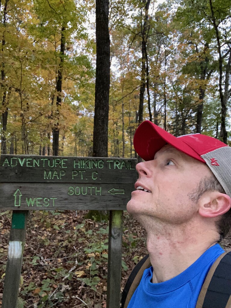
The next 12 miles of the AHT has some stretches where you can cruise at a nice pace. Those stretches are nice because at other times you are going up and down hills. We don’t have any mountains in Indiana, so I guess the trail designers thought it would be fun to go up and down the hills of southern Indiana! Once I crossed Cold Friday Road, the hills get more incredible. I was met with long, sustained grinds up a hill. Steep, rocky declines ushered me to the next dry creek bed crossing. So on and on it went for the next 5 miles.
The trail is shared by mountain bikers and horse riders. As I was nearing the Campground trailhead during the night, I stumbled over what I thought was a dead possum. When I turned around to see what it was, my headlamp showed a heaping pile of horse poop. Yuck!
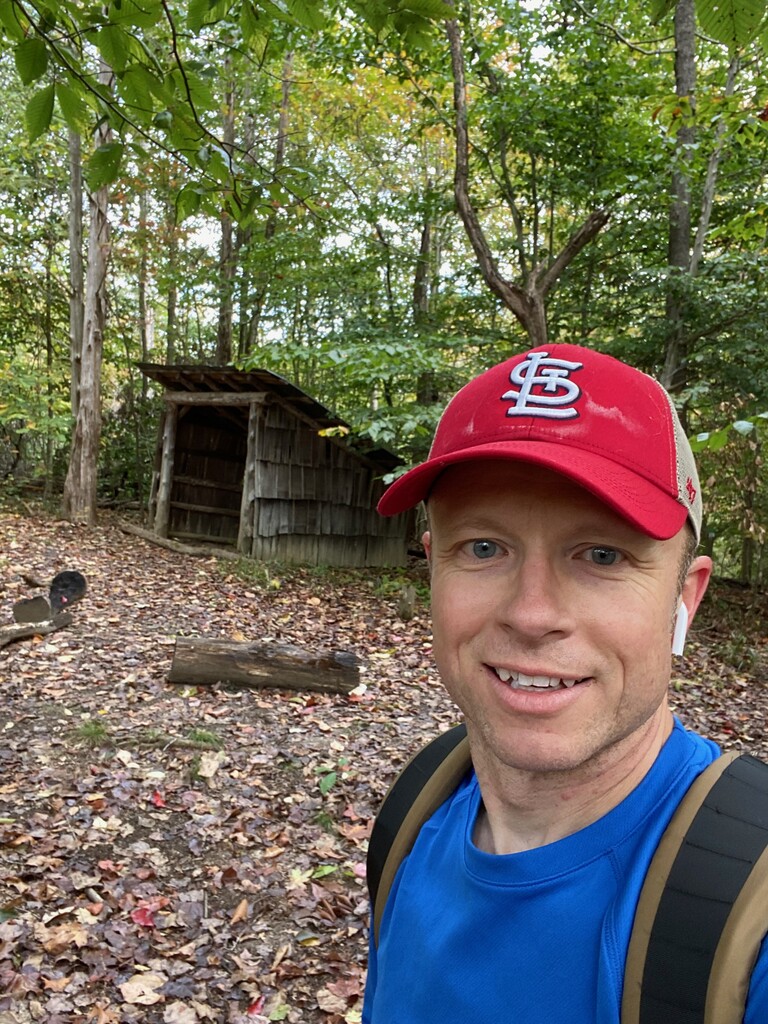
The section just before the Rendezvous Point was rockier than the rest. It made me think the trail maintainers were growing them on the trail, pointy edges up. The 1.9 mile section to the Rendezvous Point felt longer with the trail going up and down hill after hill. The last 1.7 miles back to Rock Creek trailhead felt like 3 miles with the blowdowns, descent to a foot bridge and climb back up the final hill. I arrived back at 7:09am, completing lap 1 in just over 9 hours.
I took about 30 minutes to take care of my feet, change my socks and refuel. I started lap 2 at 7:36am. The sun was rising quickly so I didn’t need my headlamps from here on out. I navigated the blowdown section with the experience I gained on lap 1. It was interesting to see the difference between hiking in the dark on the first lap to the daylight on the second lap. At one point the sun was shining in between the clouds. It lit up that section of the trail with its orange and yellow leaves. True bliss!
I knew hiking after Cold Friday Road was going to be painful. That section is where quads and IT bands go to die. I was using my hands to push Down on my quads during the uphill sections. I took the punishment and pushed on. My mind wanted to calculate how much farther until the finish (20, 14, 10 or 8 miles out). I kept fighting it to focus on only the end of the next segment (1,2 or 3 miles out).
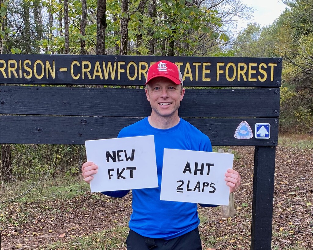
My stomach wouldn’t entertain anymore food or water for the final 2 hours. I started jogging the flat sections of the last 4 miles to get a better time. The only thing is, I forgot how many hills there were before the Rendezvous Point. Those hills really depleted what energy I had left. I slogged up the last hill past the foot bridge and jogged the very last piece of the trail. My time was 19 hours 00 minutes 43 seconds! I did it! I hiked the AHT by myself, in the dark, in the daylight and I did it under 20 hours.
Thank you, Blake Bramer, for putting a challenging time up on the board for the 2 lap variation. It was motivation!
Comments
Nice effort, Chad! The crown is yours :)
It sounds like you were pretty short with your lunch break at the car. I think you gained a lot of time here on my original effort...I may have napped for 45min...then ate lunch and refilled!
Hope you had a good time getting uncomfortable out there.