

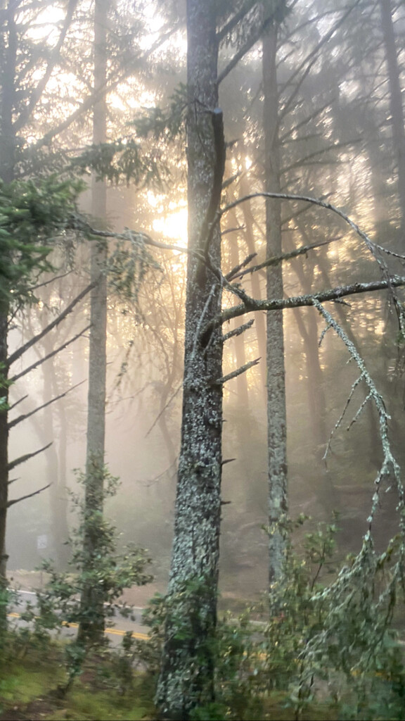


6:40AM start from Stinson Beach after a dropoff from KK Fischer and Katie Dzuricky! Rainy, foggy early morn up Dipsea trail before the sun began peaking through as I got higher up Tam. Quick flight up the mountain opening to a beautiful sea of clouds atop the summit. Widowmaker trail on the descent wildly steep and loose—at times felt like skiing.
After a strong start to the FKT, ~12 miles in, my phone slipped out of my running pack and under my foot, cracking immediately. Unable to navigate (screen went fully black) and unsure how I could possibly get to Diablo, my mood soured. I kept on running in the direction I thought would best get me to Richmond before running into a fellow trail runner, Tammara Moore. I asked to borrow her phone and started playing phone tag to try to get in touch with my support crew and possibly work out a way to make the FKT work. After explaining where I was headed, Tammara—without hesitation—offered me her phone and told me to go get that record. I am in awe of her generosity!! This is someone whom I had just met. Absolute legend. Using the FKT website's route and Google Maps on Tammara's phone I was able to hit all the waypoints and mosey my way up Diablo.
After Tam, there were ~16mi of road through San Rafael and Richmond to get to Alvarado park. I met two of my friends, Jo Ohm and Brady Burgess, right after the Richmond-San Rafael bridge for an impromptu car aid station—it was great to see them and they were able to update my Pacifica running community how my progress was going!
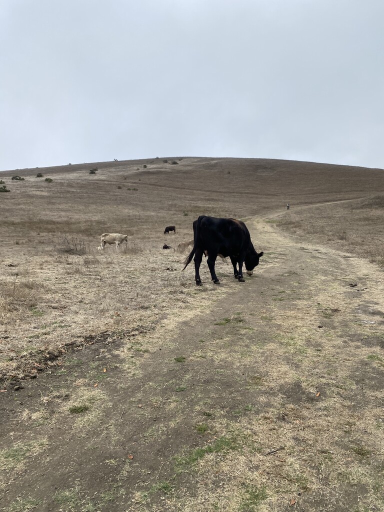
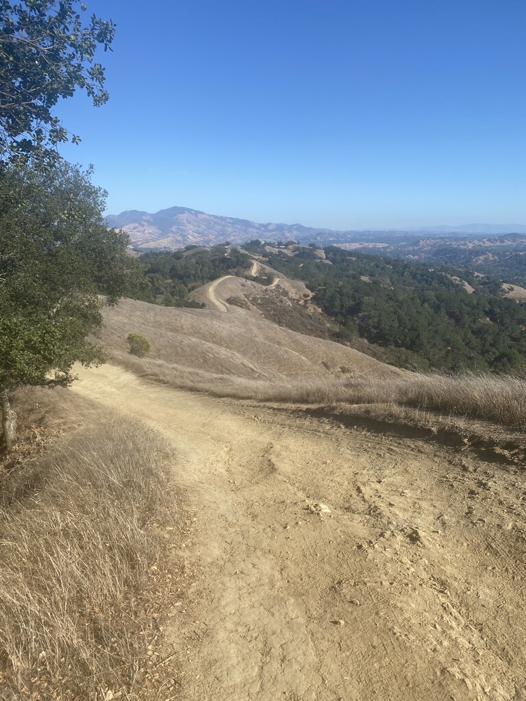
Belgum trail and San Pablo Reservoir a beaut but windy and cold (which was good for keeping HR lower). Cows everywhere. Stark contrast to Bear Creek and Briones, which were brutally hot and exposed. Hopped a few fences and gambled on the Orinda Watershed building having water and found a hose in the back to refill, which also saved the day. Coulnd't have done Bear Creek in that heat without a full pack.
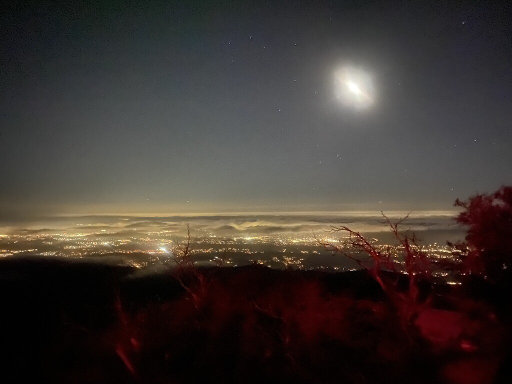
Started to feel the fatigue coming down into Walnut Creek and it was a deep push from here. Really tapping in. Wild vert up Diablo (definitely didn't take the best route—just did what Google Maps recommended). Some hills were so steep if I didn't pole into them hard I would slide backwards. A gorgeous sunset into a star-filled night, and then Katie met me right at the top as I ran up to touch the door at the peak.
Grateful for all the support. Exhausted but content.
On water, food, and equipment:
I carried 2.5L of water with me (2L bladder and .5L bottle) in an UltrAspire Zyogs 5.0 vest, along with maybe 10 Gu's, 2 roctane packets, various snacks (nuts, oreos, baby food apple purée, RX bars), and some salt tablets. There is water pretty much throughout this whole route but it would be good to be intentional with it (more than I was, at least). I refilled my water bottle near the Tam summit and then the bladder at the Richmond bridge stop (this is why I'm labeling the FKT 'supported,' although this stop wouldn't be necessary for any solo efforts—there is a water fountain a half mile before the Richmond bridge (west side) and several cafes and parks just beyond the bridge). Refilled my bottle again at Alvarado park. I know there is supposed to be water at the San Pablo Reservoir but I accidentally skipped this while meandering through Tilden trails. Was lucky to find a hose after hopping the fence at the Orinda Watershed treatment center somewhere behind the building, but not sure how good this water really was. Not much (if anything) in terms of water through Bear Creek until the Bear Creek Staging Area in Briones (parking lot, bathrooms, water fountains) and then after that there were plenty of parks and gas stations throughout Walnut Creek, if needed, before taking on Diablio.
I brought a light jacket, which proved useful in the early morning and then again after finishing on Diablo at night (it got cold pretty quick, especially after stopping running). I also brought poles (Leki Ultratrail FX one), which I am still on the fence about how necessary they were overall. My Garmin logged ~12,000 ft of vertical gain, so they were certainly useful for some parts, specifically: down Widowmaker on the east side of Tam, up the windy, steep rolling hills at Briones, and up whatever humorously (and painfully) steep trails I took to get up Mt. Diablo. If I were to do this route again, I would still bring them, though they are only in use for maybe 30% of this route.
Another huge shoutout to KK and Katie for the dropoff, Jo and Brady for the Richmond support, Katie again for the pickup, and Tammara and Peyton for their random act of kindness (I triumphantly returned the phone the next day!!) This truly is the best community.