
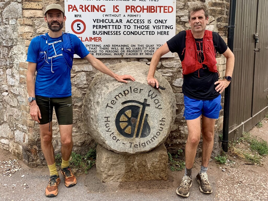
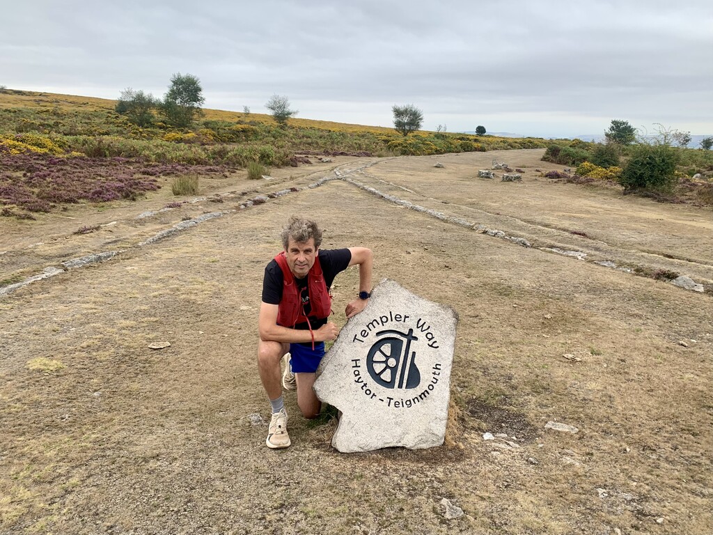
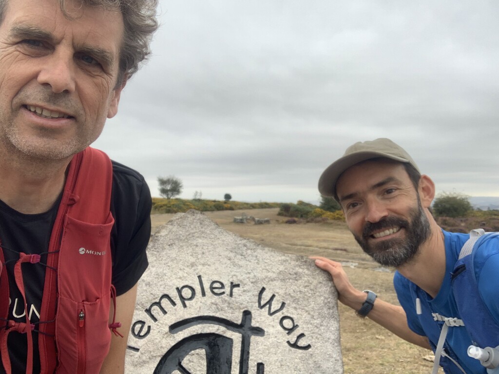
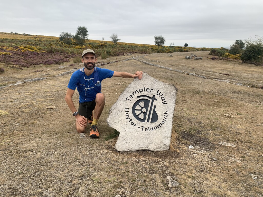
The Templer Way is officially an 18-mile trail in south Devon, England, [https://www.exploredevon.info/activities/walk/long-walks/templer-way/] running net downhill from Haytor on Dartmoor to Teignmouth on the coast.
Colum and I began our run at 9.23am with the intention of running the final section along the Teign estuary at low tide, which is the only time that section of the trail is passable.
Most of the first five miles from Haytor are downhill on a mix of trail and road and so we started out at great speed - although we found the path closed around 2.5 miles in and had to take a detour back up a steep climb to a road, and then back down on the road to rejoin the trail.
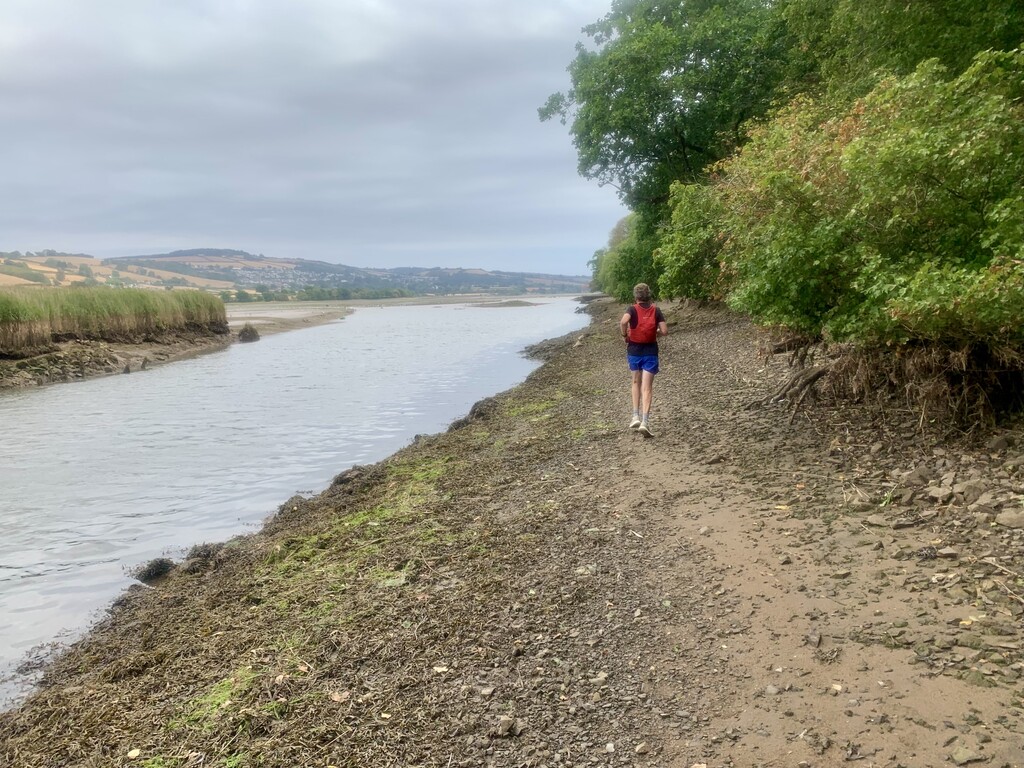
After about five miles, we hit a cycle path and it was mostly flat the rest of the route, except for another short, steep climb just before mile 7. From there until about mile 12 it was cycle paths and trails snaking through wooded areas, until we ran under the A380 dual carriageway and then came out on the shoreline on the west side of the Teign estuary.
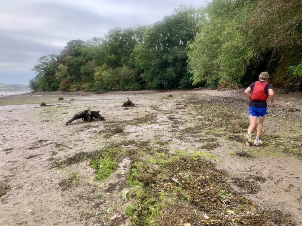
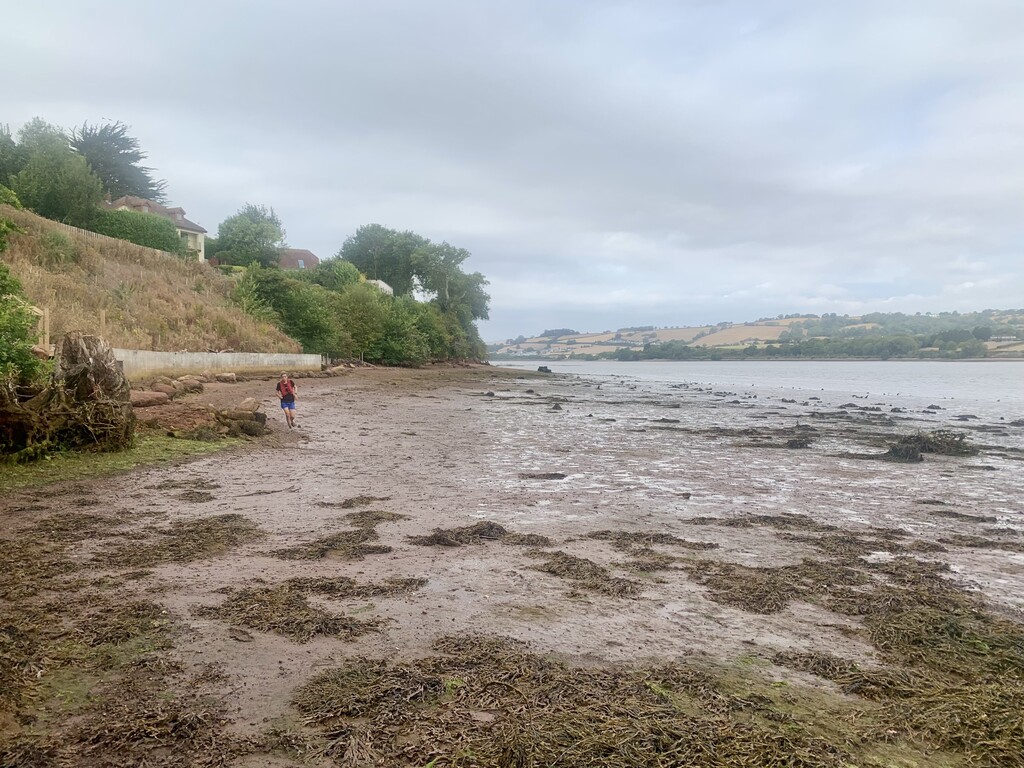
The going would have been very slow - pretty much impossible - if the tide had been in, but we had timed it well and so we ran the next few miles on the rocky riverbank, making our way across wet rocks and seaweed. It took concentration to stay upright as everything was wet and slippery, and it was slow going on tired legs, but eventually we made it to Shaldon, where we crossed over the road bridge to Teignmouth and followed footpaths to the end point of the Templar Way on the quayside in Teignmouth. We wasted at least five minutes looking for the official finishing point, and cursed our lack of planning, as neither of us had pinpointed in advance exactly where it was.
The official Templar Way crosses the estuary by ferry, rather than on the bridge, but we felt that for our FKT - and for future efforts - it made more sense to run the entire way by using the bridge.
In the end it was a tiring run - that first downhill section encouraged a flying start that bashed up the legs and left us struggling a little along the tough final section on the west riverbank. But that’s better, I would say, than doing the route the other way around - which would mean ending with a very steep climb over the final five miles!