REPORT
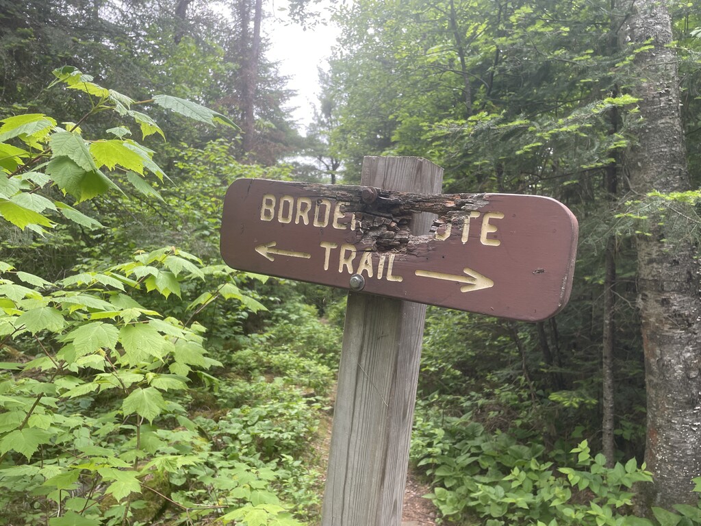
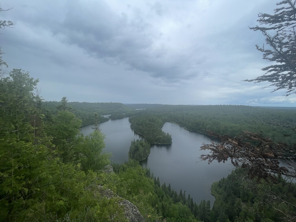
In my experience the Border Route Trail is the finest single-day push that Minnesota has to offer. It resembles the Superior Hiking Trail in its technicality, amount of vert/mile, and lovely vistas. On the other hand it is more remote (which makes trail maintenance more challenging/less frequent), is easier to get off trail (close attention to multiple/redundant means of navigation - I had a watch and phone loaded with the gpx - is a must, and its views are of dope cliffy Boundary Waters lakes rather than Lake Superior.
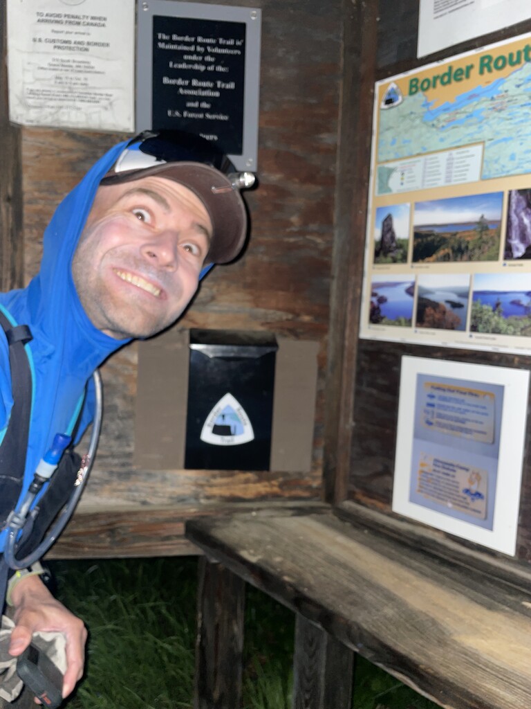
I knew of the navigation and bushwhacking challenges that this trail would provide, and I am not the greatest night runner, so I opted for maximum natural illumination by targeting the summer solstice. I lucked out with a cool, drizzly, breezy, overcast day, which kept me cool and kept the skeeters mostly off of me.
With maximum illumination in mind I got started at the Otter Lake Road TH (a westbound effort) in civil twilight shortly after 4 am. I was instantly wet from chest to toe due to the “car wash” effect of trailside dew-saturated brush. By the time I reached the 270 degree overlook, the sky was already glowing a soft red, illuminating our friendly neighbor country to the north beneath a bank of low clouds. At about the 6.5 mile mark, one reaches the bank of the Pigeon River, a literal stone’s throw from Canada. Views of the first large beautiful lake, South Fowl, appear in the next mile.
Filled up on water at the stream connecting McFarland and Little John lakes (mi 12.5), anticipating a dry stretch until Gogebic Lake, and kept it rollin’. Thanks to Jake and Gretchen for reporting that water could be tough to come by here - paradoxical when you consider it’s the Boundary Waters though less so when you’re on a trail up on a ridge line.
The first 20 miles I ran within myself, keeping it mellow, enjoying lovely sweeping lake views (John, East Pike, West Pike), and checking my maps occasionally. In general the trail was well marked and had received recent maintenance (thank you so much trail crews!)
About 20 miles in, the trail became more obscure, involving more shwhacking, hurdling over downed trees, and more map checking. This was generally the case for the next 30+ miles, until about Bridal Veil falls (mile 52, give or take). The one exception was along the Arrow River (mile 36), where the BRT shares its course with the 660-rod (>2 miles!) “Baby Grand” (aka “Long”) Portage. Along the portage, the trail is mostly flat and fast, with the exception of a stretch of a couple hundred meters where a feat of beaver engineering necessitates a shallow wade. I should also point out that an immense amount of trail work was obviously done - and is much appreciated - in the area around Clearwater Lake, which experienced a tornado in October, 2021.
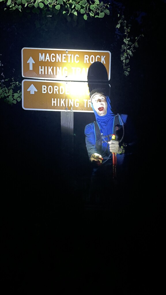
Beyond Bridal Veil falls the trail gets more runnable. The cruisiest part is west of the High Cliffs Lookout, where the trail sits on an old road bed. Felt good to open up the stride. Somehow I was able to do so semi-comfortably, despite running out of food 2.5 hours prior to finishing. West of CR 20, the old road bed continues along a set of seemingly unnecessary switchbacks. I followed them since my maps label them as BRT, though I did see a tiny BRT sign on a cutoff that would spare someone an extra 1/2 mile or so on the first switchback. After the trail crosses CR 46, the trail becomes a bit more technical, but this is the homestretch! I turned on my headlamp for the final two miles (a total of 4 miles for the entire day), and finished shortly before 10 pm. My wife was waiting at the Magnetic Rock TH, being eaten by mosquitoes and with a sandwich ready for me. That’s love!
Final time: 17:58:22. No one ran with me for any distance. All food consumed was carried from the start. Water from natural sources. Underrated/under-appreciated trail. 10/10 would recommend. Yeehaw!
GEAR
Worn: trucker hat with my tiny rovyvon headlamp clipped to it, sun hoodie, sun gloves, trekking poles, running tights, toe sock liners, thin darn tough socks, trail runners.
Pack: 5L running pack containing a Houdini jacket, basic 1st aid kit, phone, inreach, compass, aquamira, a 1.5L water bladder, and 4500 calories (could have used another 1000). I wore a separate waist belt containing accessible calories and a 500 mL soft flask.