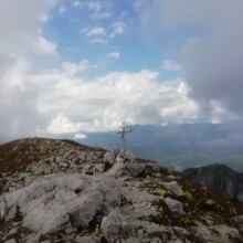
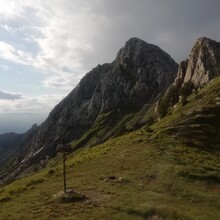
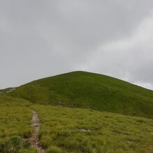
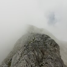
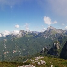
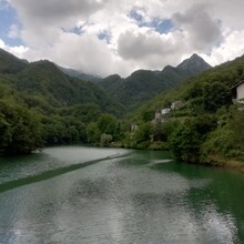
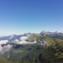
Started at 8.32 am at Torcigliano with my girlfriend who did the first climb (M. Prana - 7km) with me. Then went solo, passing M. Matanna, M. Nona and climbed Pania della croce via est Ridge. Descented to Lago di Isola Santa where my girlfriend was waiting for me. Took a 10' break (did not stop the clock) to eat and resupply water and food, then went up to M. Sumbra (long climb, water can be found at careggine after 1-2km) and down again, struggling a little to find the path at times (trail often covered with bushes and grass in this period). Did the last climb to M. Tambura and followed the ridge down, passed through the marble caves and Descented to Rifugio Orto di Donna, where I refilled a last water bottle, then slowly descented to Vinca (dirty and rocky trail once more).
I Chose to end in the small town of Vinca (and not turning back to stop in fanfaretto as suggested by the previous fkt) because it did not change the final distance and elevation and time (at 2km to go I went straight instead of tturning back a little) but it is a better ending for the Route than stopping in a car park in the middle of nowhere.
In the end, a beautiful route very slow with a lot of climbin, technical ridges, tricky descents and dirty single tracks, very hard to run.
I link both the correct gpx file (to substitute the previous one) and my fit file, which is a few hundred meters longer because of a few small mistakes (and I don't want others to follow them).
Since it does not change the final route data, and confident that my time difference with the previous fkt is so large that such a small change has no impact on the outcome, I suggest to change the route description having it end straight in Vinca as in the new gpx file, and not in fanfaretto (which is, as I said, a parking in the middle of nowhere).

