


I ran the reverse route but there was no option for that in route varitation? I chose Standard Route just to be able to submit the attempt hoping a reverse route varitation can be added?
This is the oldest, longest inland trail in the UK but it crosses over now with the Chalk Way which has this and another variant of the route. It took alot of research into exact start and finish points and the 360 miles advertised is a little shy.
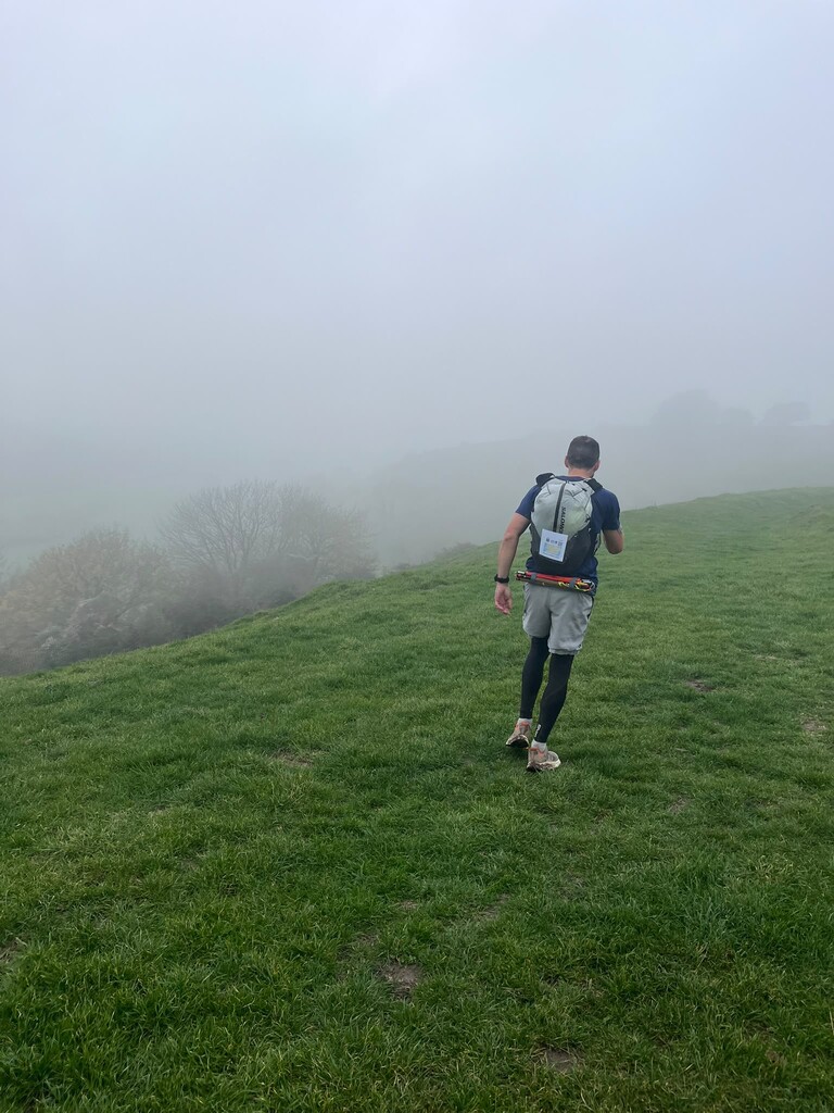
I researched the route and found the start/end should be the Cobb sea wall in Lyme Regis and the ruins of St Edmunds in Hunstaton. I travelled Hunstanton to Lyme. I found the GPX on the site had different start/finish locations and also cut off a large section of the Icknied Way straight lining through Luton which reduces the distance by over 10 miles. Once updated the route came out at 380 miles. I ended up doing 402.8 partly due to getting lost in the fog more than once, partly because the line the GPX draws cuts corners and reduces distance.
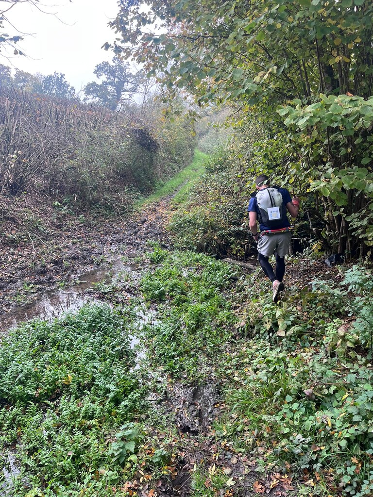
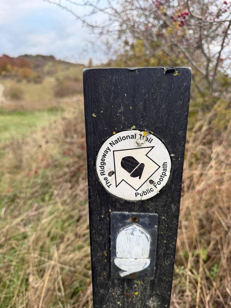
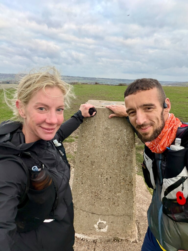
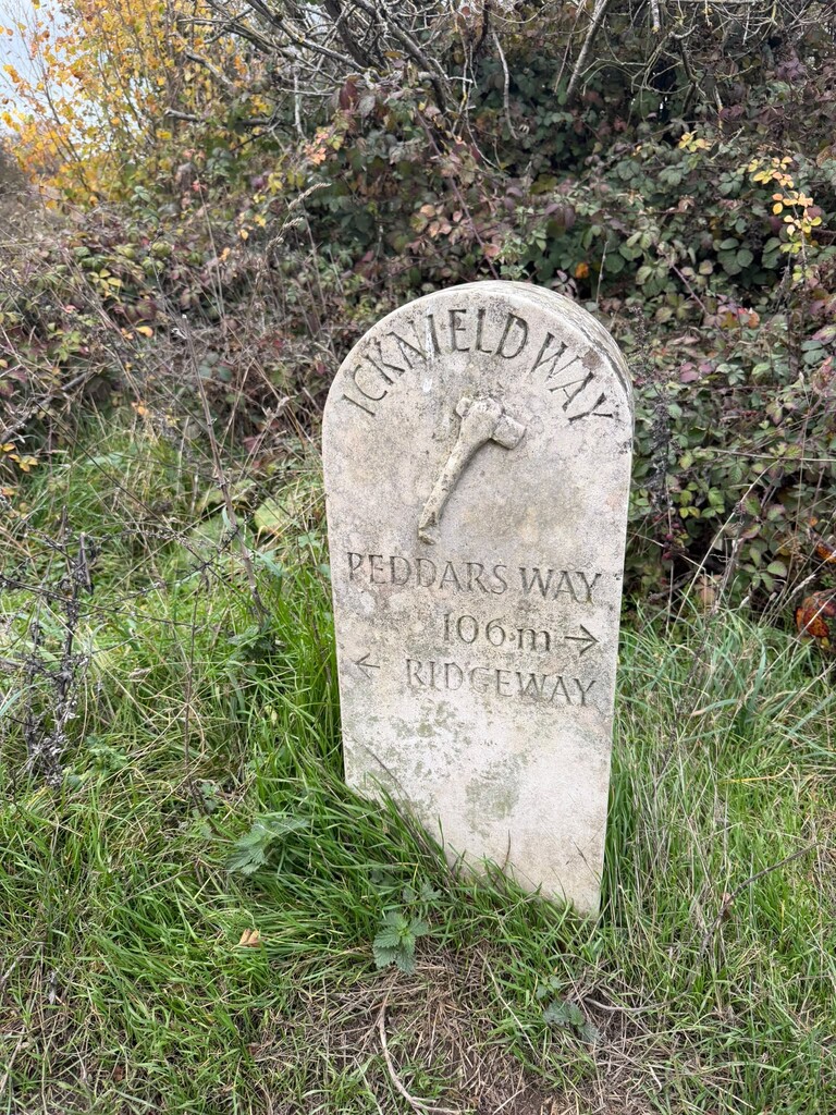
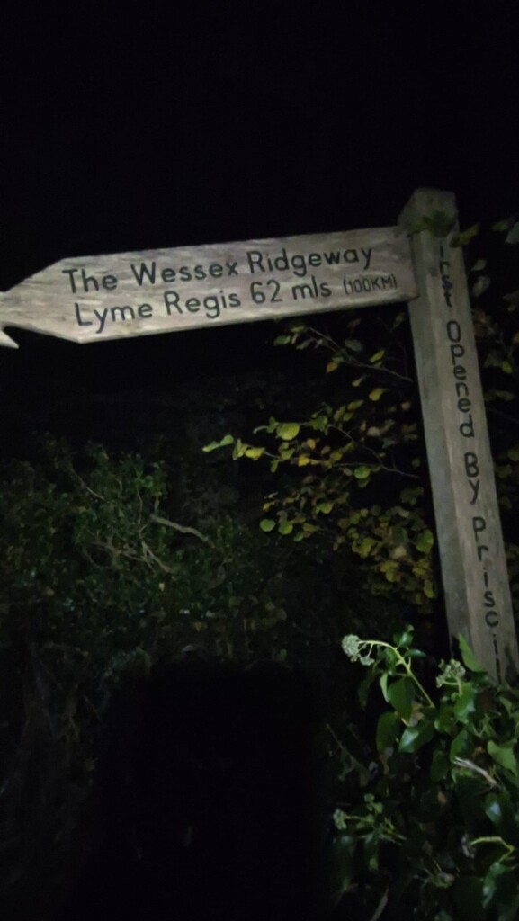
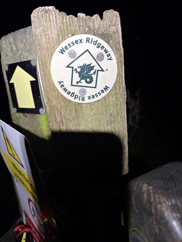
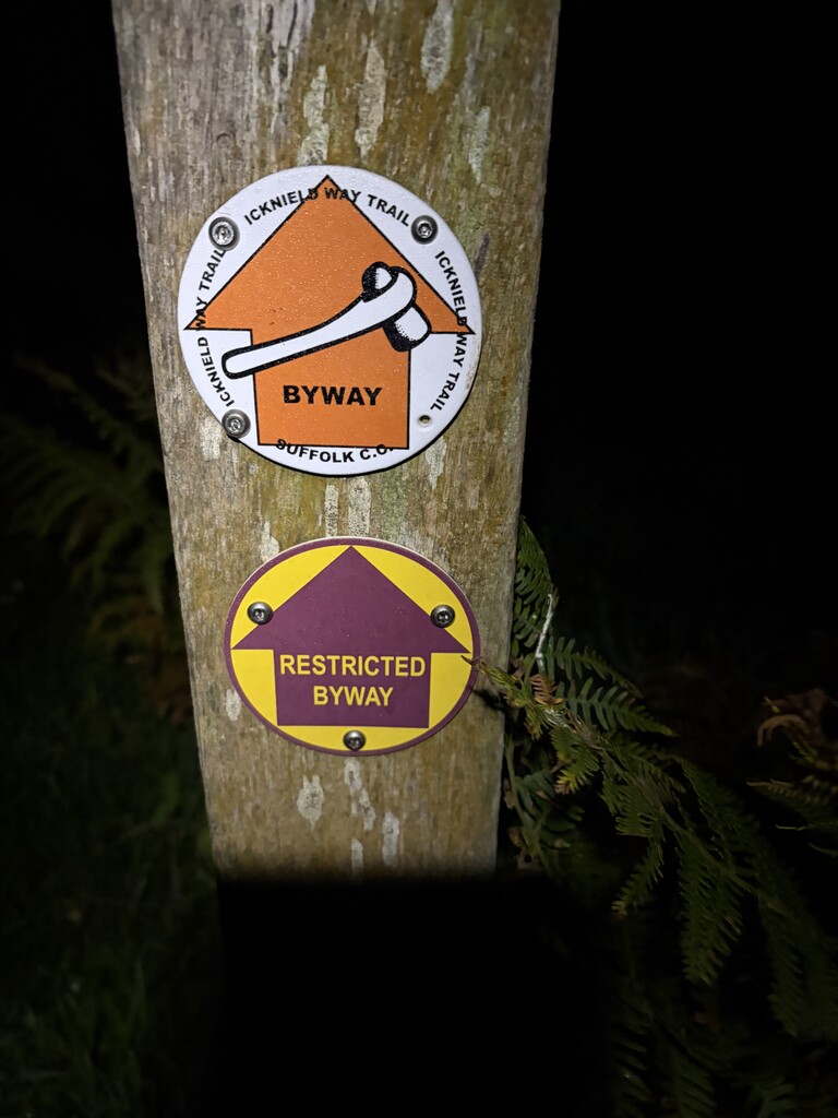
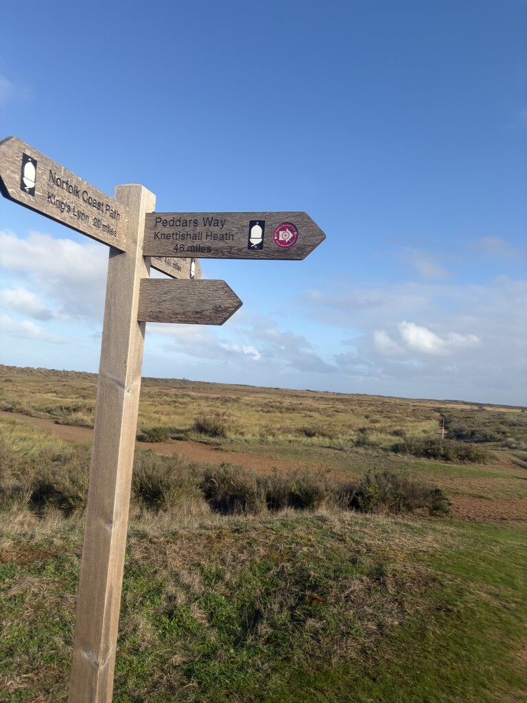
So the route I ran went North Norfolk coast path, Peddars Way, Icknied Way, Ridgeway, Wessex Ridgeway. The signage of the trails was on the whole extremely good. They are very well marked especially Peddars Way. I had a crew meet me 3 times a day with food and water and pacers for abut 35% of the route.
On the whole it's very runnable. The most elevation comes in the western sections. The Eastern sections are rolling countryside. The scenery throughout is pretty spectacular but it is remote. There are only a few occasions you get access to shops etc which is why I opted for a supported option. Full videos of updates from along my trip found here - https://www.instagram.com/spireinjuryclinic/?hl=en