I started at the upper trailhead on Saturday morning, May 16th. My husband dropped me off and watched me start, then took our dogs for a hike before heading to the lower trailhead to wait for me to finish. Because I knew other runners had encountered GPS issues, I recorded a track on Gaia using my phone and also recorded the run using my Suunto 9 watch. I was curious to see if they would have different recordings. There was a slight discrepancy in total distance. Strava recorded 25.17 and Gaia showed 25.57. I started the track on my phone first, then put my phone in multiple baggies and zipped it in my running vest. I didn't take it back out and stop the recording until after I had finished and stopped my watch. So, the Gaia track shows a little bit longer time - 4:15, but the Strava track is the correct time recording based on my watch - 4:10:11.
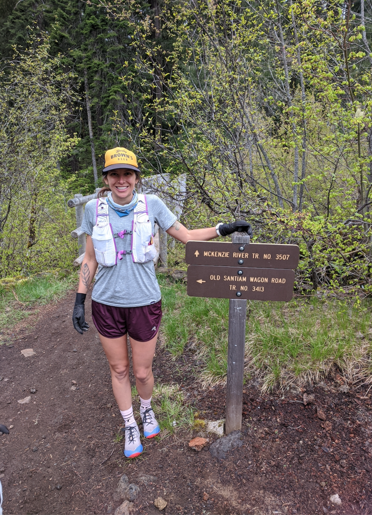
After stowing my phone, I finished getting ready and started down the trail at 7:30am sharp. Around the halfway point, 13 miles or so down the trail, near the Trail Bridge Reservoir, I started getting notifications on my watch that it had lost GPS signal. I also noticed that the mileage showing on my watch stayed around 13 miles for quite some time, and it showed that I was running 15-minute miles when I knew I was running faster than that. After a couple miles my watch seemed to return to normal, at least in terms of recording pace, but I could no longer depend on accurate mileage. I assumed it was within two miles of the actual distance, but I was never sure. I took a wrong turn at Belknap Hot Springs/Campground and ran into the cabin/RV park area. After some running back and forth around the parking lot, I remembered from the map that the trail stays to the south of the campground, so I backtracked the way I had come in until I reached the spot where I'd taken a wrong turn. Fortunately, I didn't lose too much time here and I didn't have any other hiccups with navigation. The trail is pretty well marked and easy to follow, but there are some parking lots/road crossings/trail junctions, so it requires paying attention.
Overall, the first half of the trail is pretty technical and takes a lot of focus. The second half is easier - less technical and more flat/rolling. Today, there were some downed trees near Clear Lake and a few scattered elsewhere on the trail, but they were not a huge encumbrance and I was able to climb over them or duck underneath. The middle of the trail, near Blue Pool and for some miles after that, was quite muddy.
The entire trail is gorgeous - an incredible river and a green tunnel of vegetation. Truly a gem. The biggest downside of running this trail fast is not stopping to take in all of the incredible scenery.
NOTE: For some reason Alli's Strava activity cuts off well before the end of the trail, but still gives the correct time. The GPX file shows she ran the full trail.