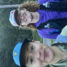
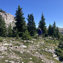
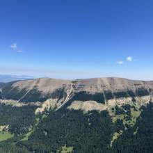
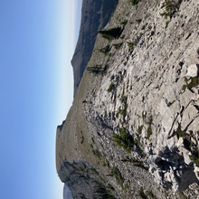
We ran the Big Snowy Traverse from WEST to EAST, following Steven Grahams route but starting at Crystal Lake and ending at Ulhorn Trailhead, which I believe makes this a variation on his route.
The range is stunning, but not to be underestimated. There is lots of overgrowth in the summer after you drop back off the ridge and several short river crossings. Coming from Crystal Lake we missed a critical turn and added 1.4 miles to our day. Anyone going west to east direction should be aware that the ridge trail is not as well traveled and the turn is quite easy to run by.
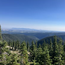
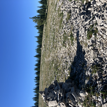
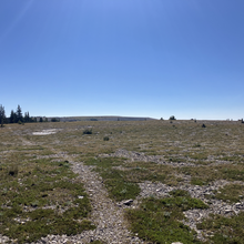
We camped the night before by Crystal Lake, which is gorgeous and lives up to its name being crystal clear. In the morning, we started off from the campsite and walked over to the day use area to hop on the trail at Grandview Trailhead at 8:21 am. After running around the back side of the lake, the route took us on a steady climb up to the ridge. We enjoyed the views of the farms down in the valley below, passing by the turn off for the Ice Cave (want to come back and explore!) and the nice breeze as we jogged along the ridge. As noted, we were chatting and running, enjoying a solid downhill when we realized--we shouldn't be going this far downhill and had to turn around and hike back up. We found the turn for the ridge trail and continued along. The views just get better and the ridge itself is runnable with a mix of rock and moss that make it quite a pleasant surface. We stuck a little closer to the edge than needed, adding a bit more time and distance when we cut in to follow the cairns along the "Knife Blade" portion of the ridge.
When we started to drop down towards Half Moon Pass is when the trail became more difficult to find, full of overgrowth, and sometimes disappearing all together. We finally got to our final left turn, said hello and goodbye to some horse riders and started the descent to Ulhorn. The trail winds through open meadows and we stopped for water with about five miles to go. The trail drops further and eventually switch backs across the river several times before ending on a final climb out of the riverbed and into the parking lot.
We had a fantastic time exploring a new (to us) range and highly recommend this spot! Thank you to Steven for highlighting the area! An out and back here would be tough, but epic. In general, the east to west direction is probably better for speed. While it does have more climbing, you do some of the harder sections on fresh legs and end on smoother downhill trails. But it was great to wake up and start from our campsite too!

