
TL;DR
In 2019 I attempted an unsupported FKT of a 300-mile mountainous route across Wales. I failed. I failed four more times over the next six years. Each year I only had time for one shot at the FKT. With each failure I became ever more determined to achieve my goal. On my sixth attempt I successfully completed an unsupported traverse of the Cambrian Way in under 7 days.
Background
Ever since 2019 I wanted to walk the Cambrian Way but as a busy dad of two kids I couldn't really afford to be away from home for longer than a week. As someone who enjoys the challenge and freedom of unsupported hiking, I wondered whether it was possible to complete the path without support in less than a week. I knew it would be very difficult, but I was sure it could be done.
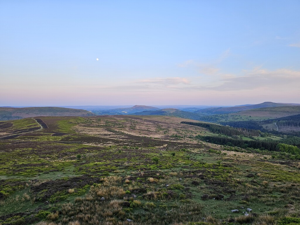
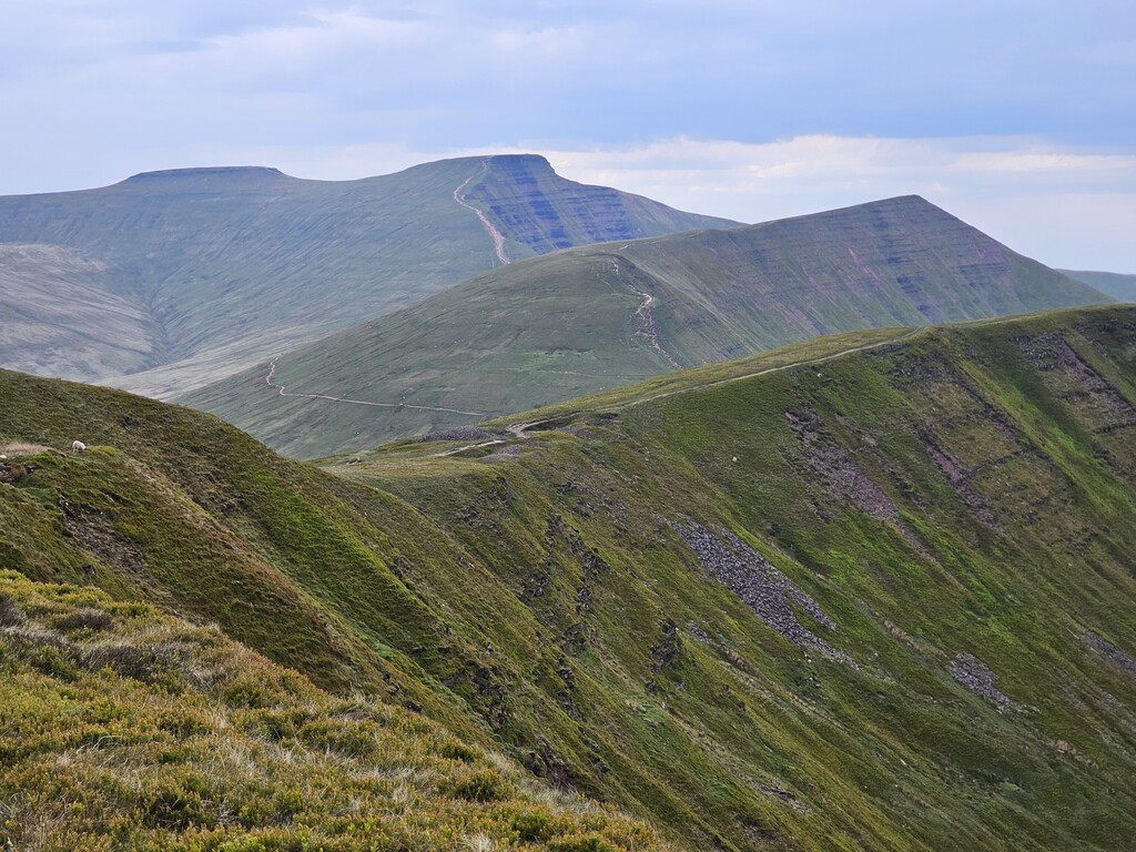
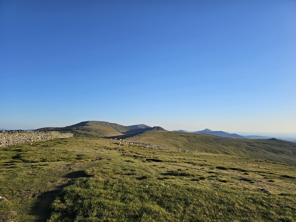
To give a little insight to this rarely trodden route, at 298 miles with 77,000ft of vertical gain the Cambrian Way is 30% longer and has 60% more vertical gain than the Cape Wrath Trail, commonly regarded as the toughest long distance trail in the UK. Indeed, when compared to the 236 miles and 53,800ft of ascent of the renowned (6 day supported stage race) Dragon’s Back Race, which is run over the same regions of Wales, the effort required to complete a sub 7 day unsupported Cambrian Way becomes quite apparent.
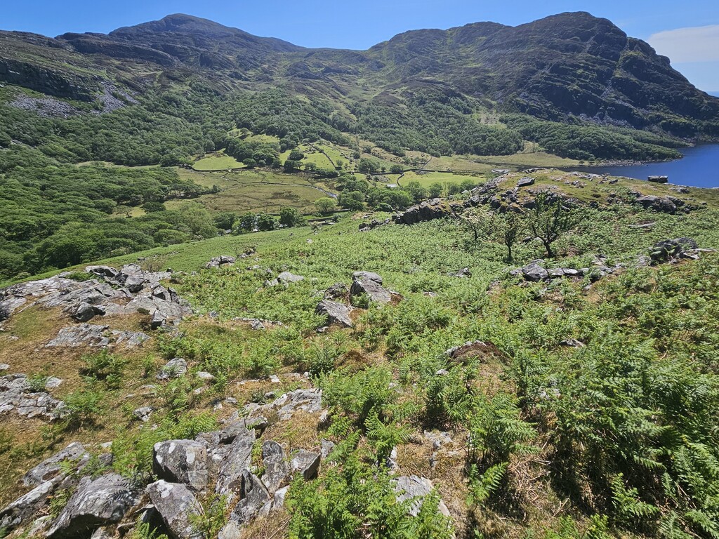
My plan was always to complete the route in the conventional direction from South to North as it was originally devised by Tony Drake in the late sixties – the ‘mountain connoisseur’s walk from Cardiff to Conwy.’ In my view, this is the direction in which all FKTs on the Cambrian Way should be completed. I took great care in following the official route as closely as possible. My route took no shortcuts and visited each of the 41 checkpoints, including the out-and-back leg to Dinas Mawddwy. However, I did deviate very slightly in a few places where the official GPX track indicates a route where it's completely overgrown through lack of use, such as the route across Fegla Fawr near Arthog. On a route where there are endless opportunities to cut corners here and there, I hope I’ve set a good standard for future FKT attempts.
Failed Attempts
My first attempt at setting an unsupported FKT on the Cambrian Way was in May 2019. Due to work and family constraints, I only ever have one 7 day window each year during which to make an attempt. I have to set the date months in advance and so I have no choice but to accept whatever weather conditions prevail at the time. Sadly, luck was not on my side and I set off from Cardiff during a heatwave when the temperatures topped 35C (95F). I completed the first day but had to stop at mile 40 due to the heat and lack of water from natural sources. Covid disrupted plans for the next couple of years and so my second attempt was in May 2022. On this occasion I started with a minor hamstring injury picked up during training which progressively got worse until again I was forced to call it quits at mile 80. My third attempt was in May 2023 when I experienced terrible blister problems from early on. I patched my feet up as best as I could and pushed through the pain but the trail is extremely hard on your feet due to the ground conditions. I reached mile 150 before accepting that my pace had slowed so much that it was futile to continue. I had to wait another year to try again…
With each failed attempt my frustration and determination grew in equal measures. All the while I learned more about the trail, hiking efficiency, water sources, ground conditions, places to sleep, suitable kit, what food to take, how much food to take. I continually refined my kit list in order to strip out anything that was not essential in a bid to minimise weight. In addition to all this I improved my physical preparation by including more strength work and vert training with weight.
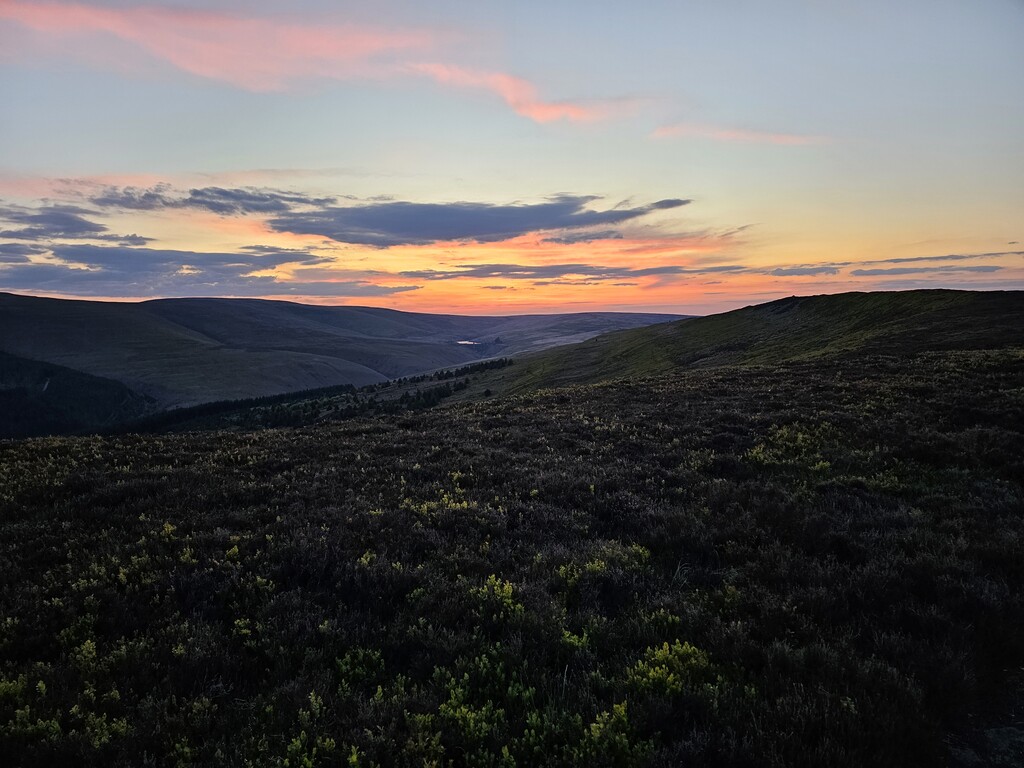
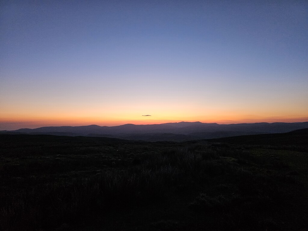
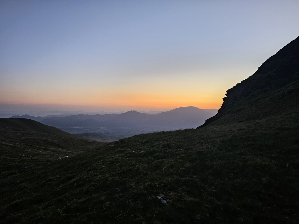
In May 2024, I set off on my fourth attempt. Once again, the weather was not ideal. It was exceptionally warm and I really struggled in the heat on the second day – to the point of having to take immediate action to cool myself in order to avoid heat injury. Having overcome the heat of that day I pressed on, only to find myself ascending Pumlumon - one of the highest peaks in Mid Wales - in the middle of a storm. I was absolutely battered by gale force winds and driving rain, soaked to the skin and becoming hypothermic in a very remote region. Fortunately, I knew there was an old fishing boat house at Bugeilyn, which was around 6-7 miles ahead at lower elevation. If I could at least get to there I knew I would be safe. The wind and rain were now so fierce that I was no longer able to maintain my core temperature. I knew this was serious and that I was in danger. So, I moved as fast as I could, with full concentration on my foot placement to make sure I didn’t turn my ankle on the grassy moorland. After two hours I finally reached the safety of the boat house only to find the door was no longer on its hinges! The Northerly wind was now blowing directly in. With the little strength I had left, I managed to lift the door to the frame against the wind and prop it up using four oars. Needless to say, my fourth attempt ended there at mile 176 after three and a half days.
Although frustrated by my bad luck with regard to weather I was encouraged by my performance up to that point. I really didn’t want to wait another year, so I managed to negotiate another 7-day window to try again in June 2024. Between May and June, I aimed to just maintain my fitness and not risk overtraining. It seems that I may have lost some condition during that time because on my second day I experienced a sudden calf strain at mile 70. The instant I felt that physical ‘ping’ sensation I knew I was in trouble. Still in denial, I continued over the course of the next couple of hours until it was patently clear that the strain was worsening and with 230 miles to go I had no option but to withdraw and limp back to the nearest town to get myself home.
I felt plagued by misfortune, yet I knew I could achieve my goal. Unwilling to be beaten, I resigned myself to trying again in 2025 after waiting yet another 12 months!... Finally, the day came. The weather was forecasted to be hot and sunny. Could be better, but I knew all too well that it could also be worse….
Day 1, Sat 10 May 2025 - 54.3 miles / 9,485ft
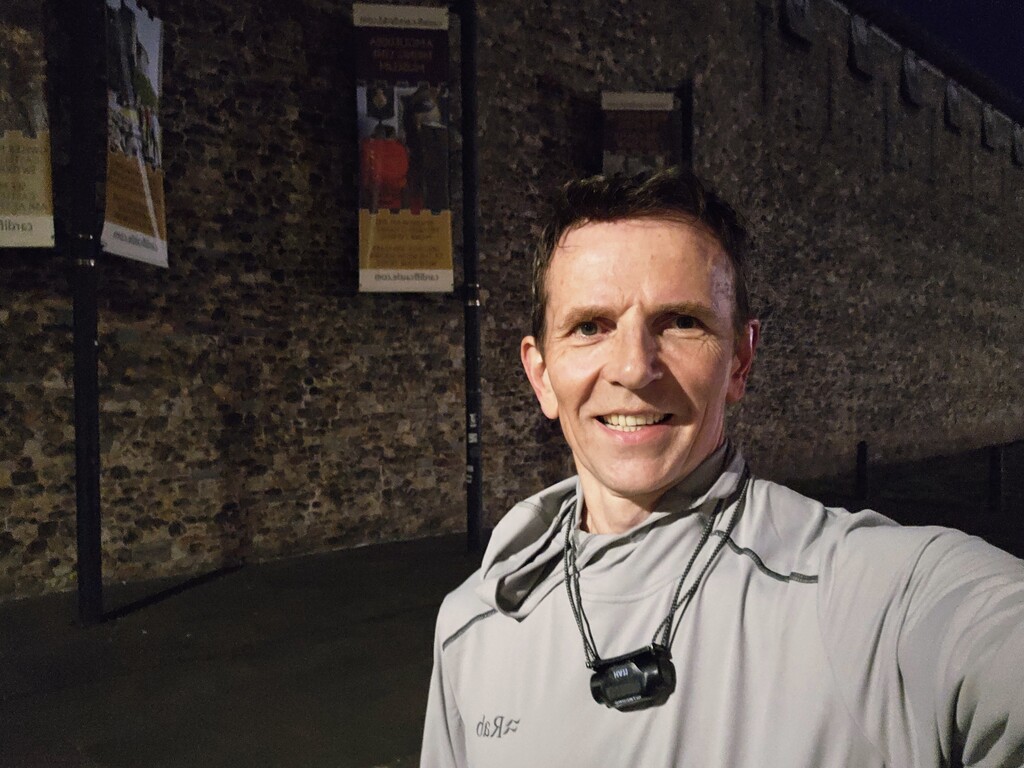
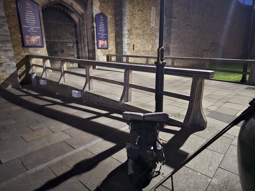
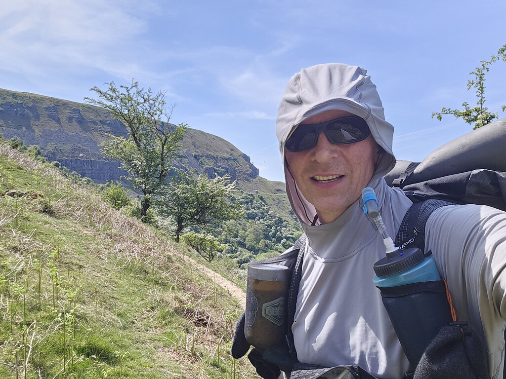
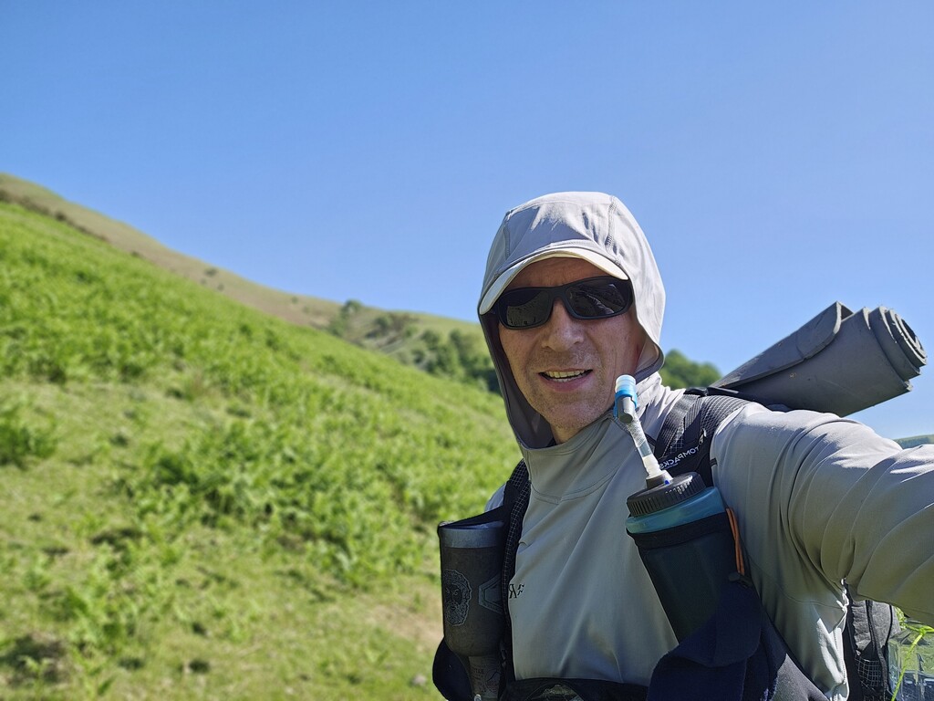
I set off at 0430 from the gates of Cardiff Castle and made good progress by gaining a minute here and there on my schedule. Although this section involves significant ascent it is relatively easy compared to later sections because of the favourable ground conditions. This meant I was able to sustain an average speed in excess of 3mph despite the heavy starting weight of 17 kg (37 lbs). My first water resupply was a public tap in Risca Cemetery, just 100m off trail. The land in this area is low lying, relatively urban and industrial so drinking from the rivers, even if filtered and purified is not a good idea.
I was feeling confident in reaching my planned laying up position for the night, especially given that I had done it twice before. My aim was to reach this point and have a decent amount of rest before tackling the second day which I knew would be tougher. In the end, I finished the day about 20 minutes ahead of schedule. So far so good…
Day 2, Sun 11 May 2025 - 50.0 miles / 10,102ft
I sprang into action as soon as my alarm sounded at 0310, not wanting to waste a minute. My aim was to reach a small forestry block near Glyntawe. This is around mile 99, according to the official route and would put me on track to finish in 6 days which was my ‘A’ schedule. My first task was to fill all my water containers from the stream in Capel-y-ffin for the long and dry ridge walk to Crickhowell. This was expected to take 6-7 hours.
Having passed Crickhowell, I again had to replenish my water to the maximum at Llangattock as I prepared to tackle another 5-6 hour dry section with no shade from the sun. I finally reach the forestry block at 2350, just 9 minutes behind my ‘A’ schedule. No big deal - I would just trim down my sleep that night and get back on track.
Day 3, Mon 12 May 2025 - 48.4 miles / 8,077ft
I set off on Day 3 just a couple of minutes later than planned. This was again forecasted to be a scorching day. This pattern of weather was beginning to concern me. How much more of this hot weather could I take? Will it slow me down? Will I make it to my next laying up position? So far, the ground conditions had been reasonably favourable, but from here on things would get much tougher in that regard.
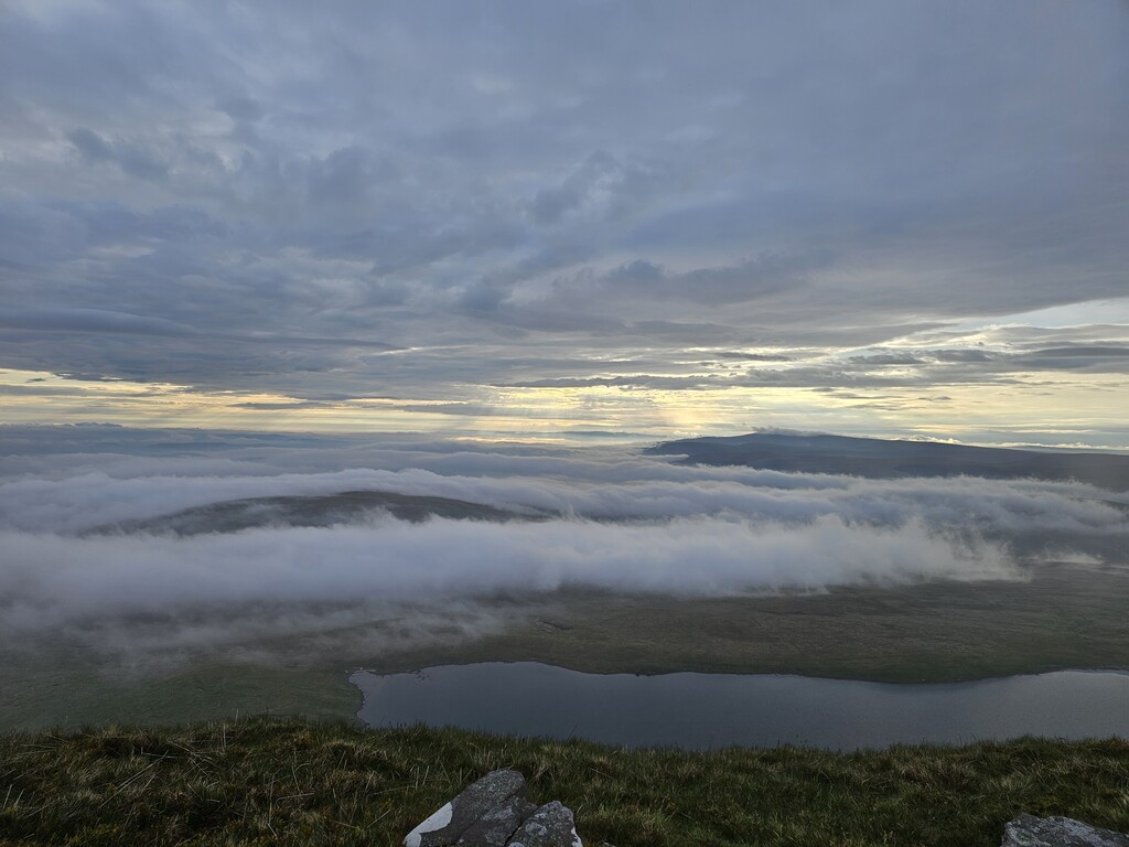
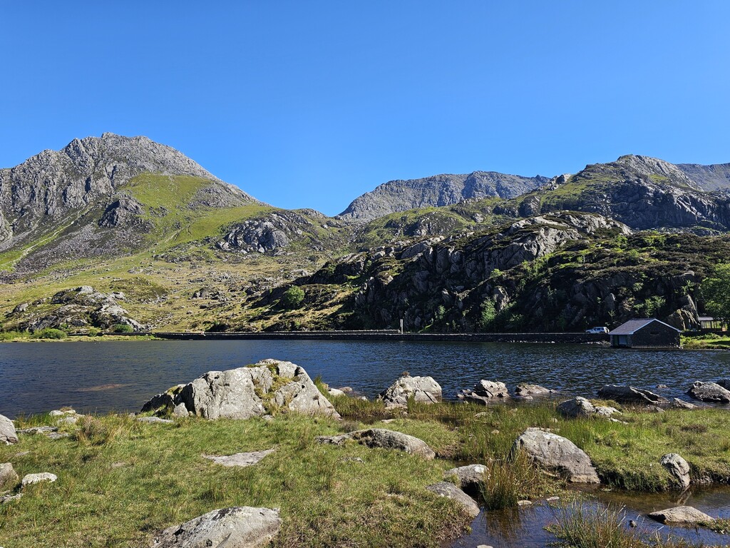
I made my way through the low-lying countryside towards Llandovery and onwards to Rhandirmwyn and the bottom of the beautiful Doethie valley. On my ascent through the valley, I could see clouds looming in the distance. Although I appreciated a little shade from the sun, these were thunderclouds and I could see flashes of lightning at the top of the valley. Luck was on my side as the storm had passed by the time I took a brief moment to pause on the bench dedicated to Tony Drake at Ty’n Cornel.
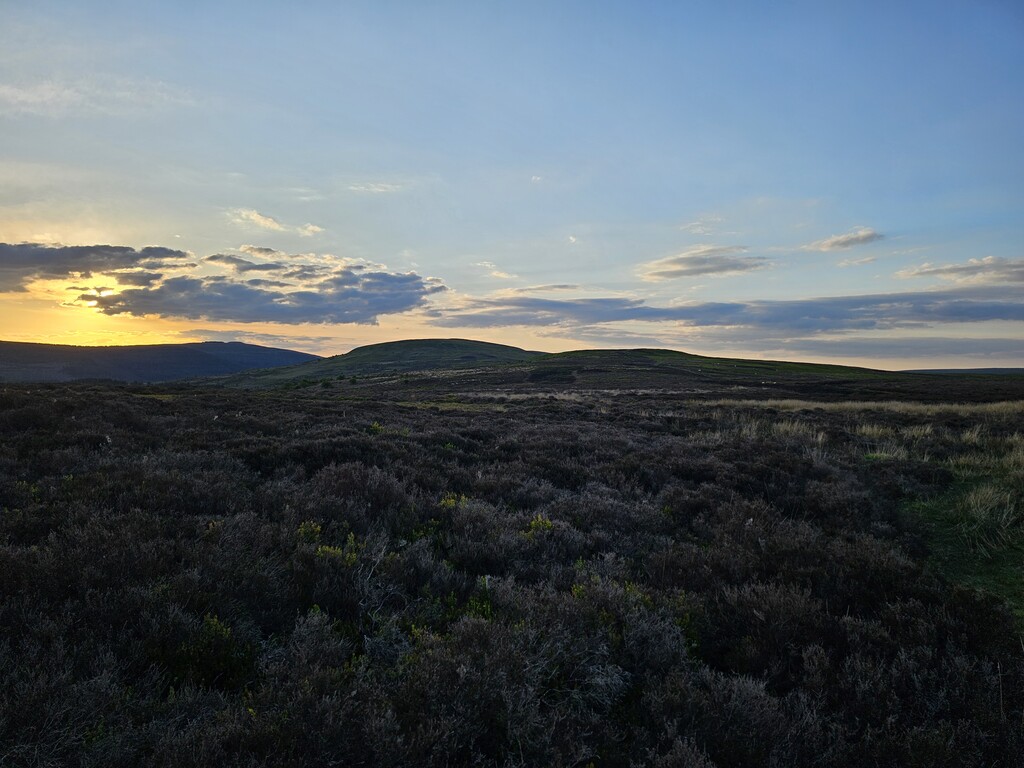
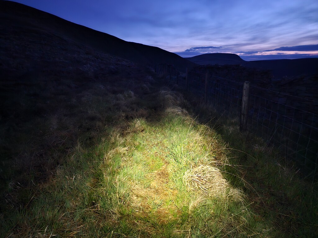
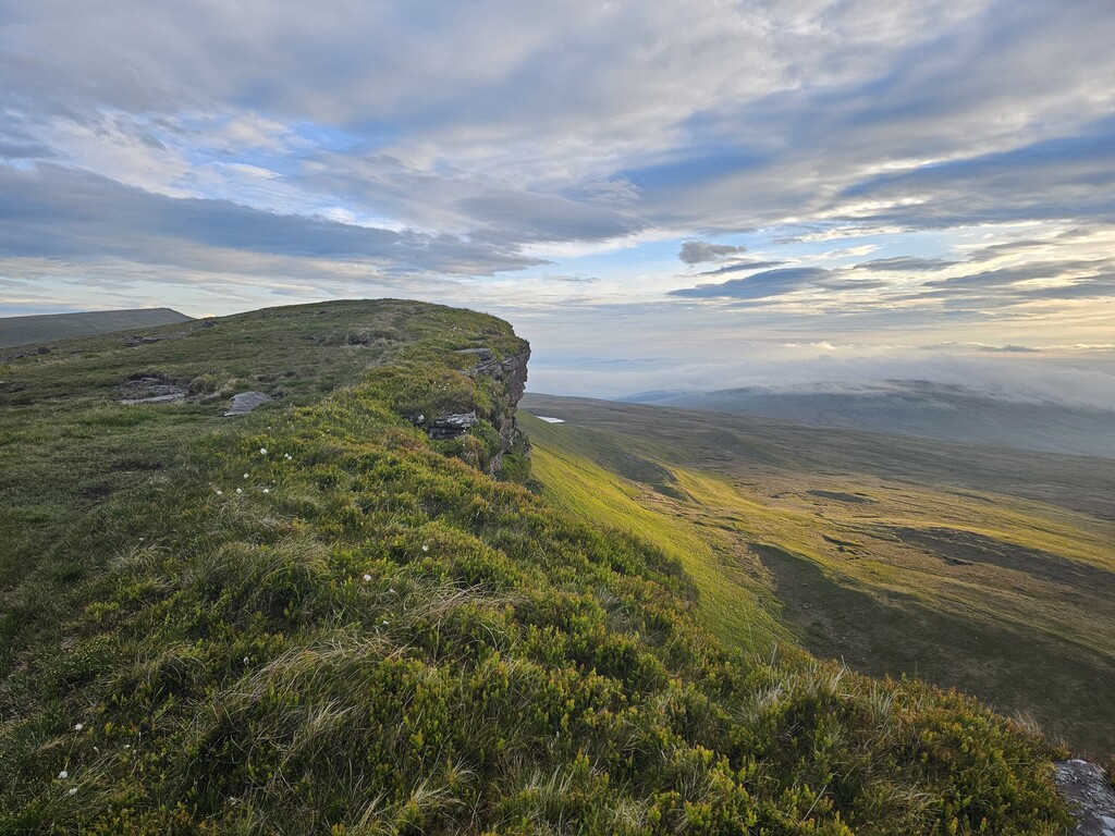
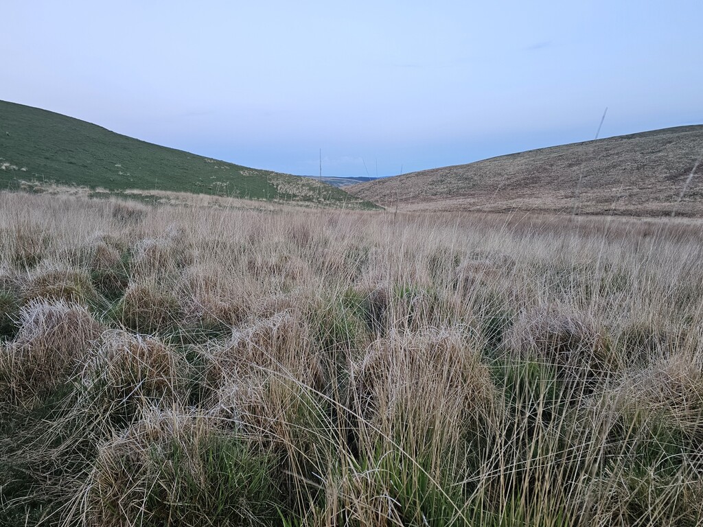
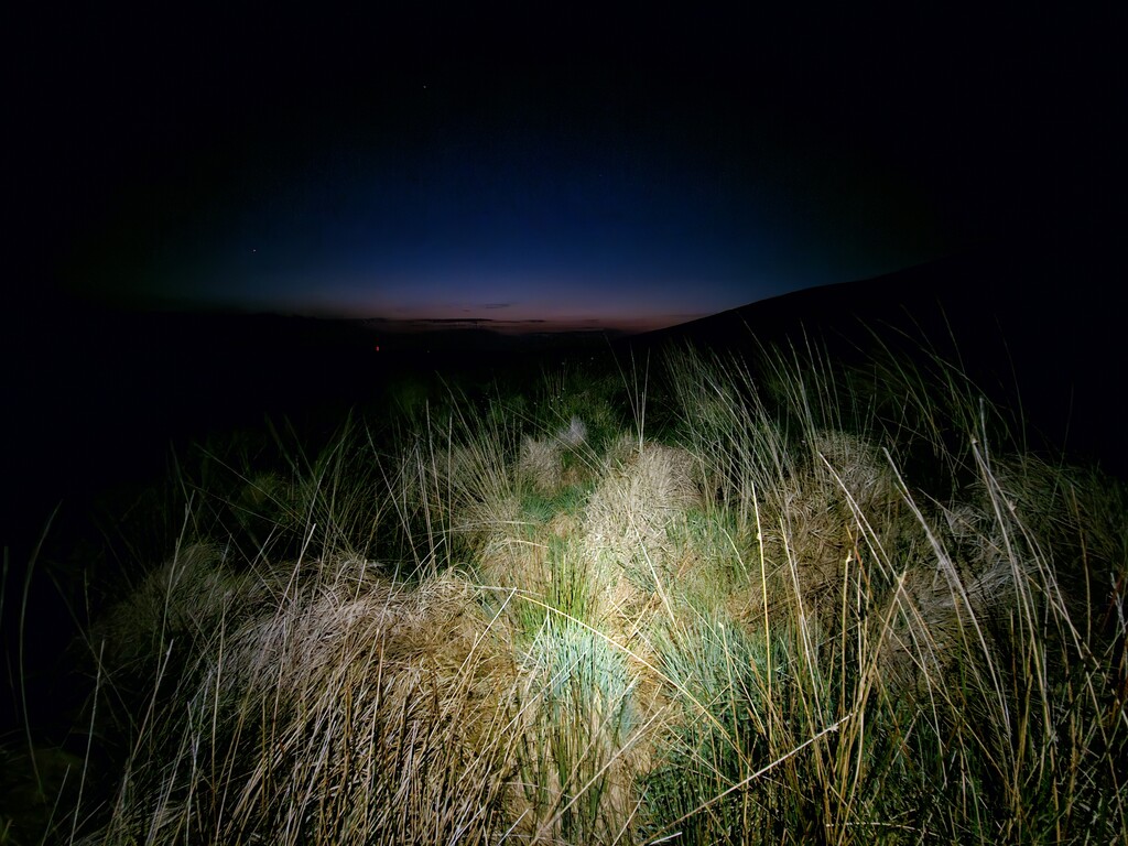
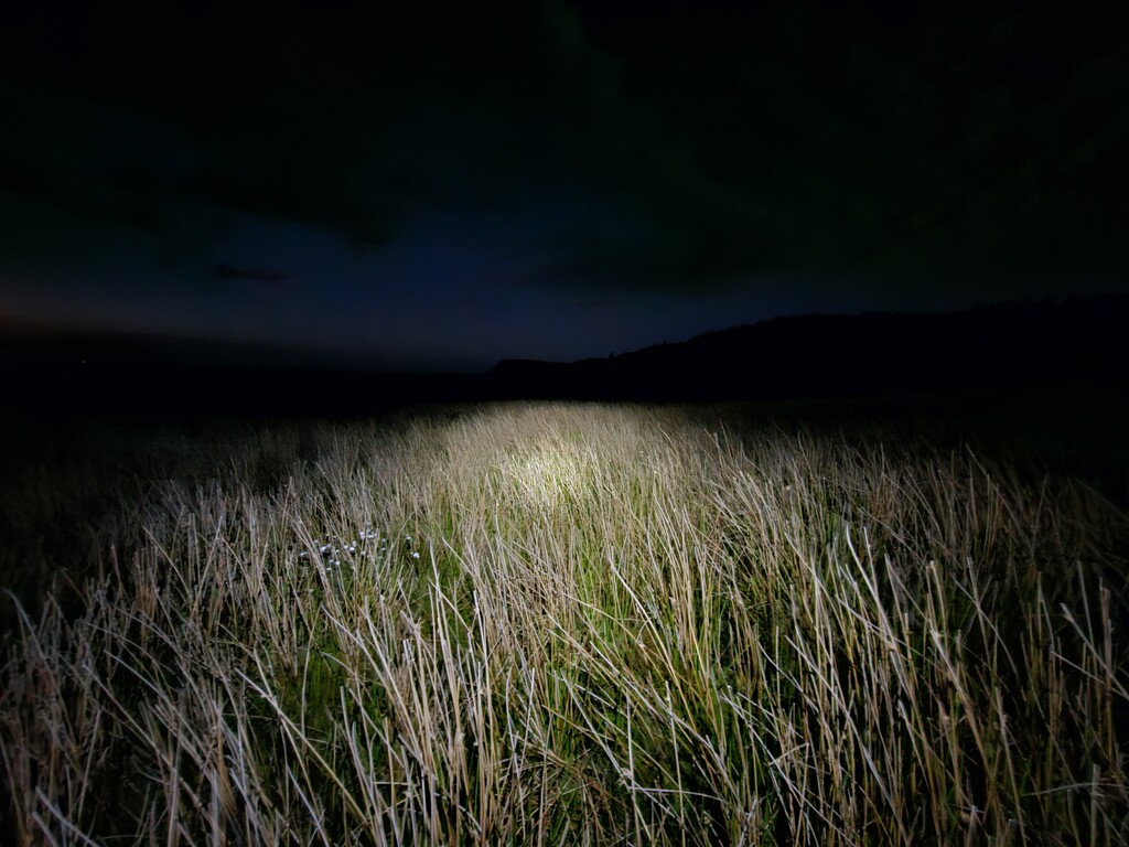
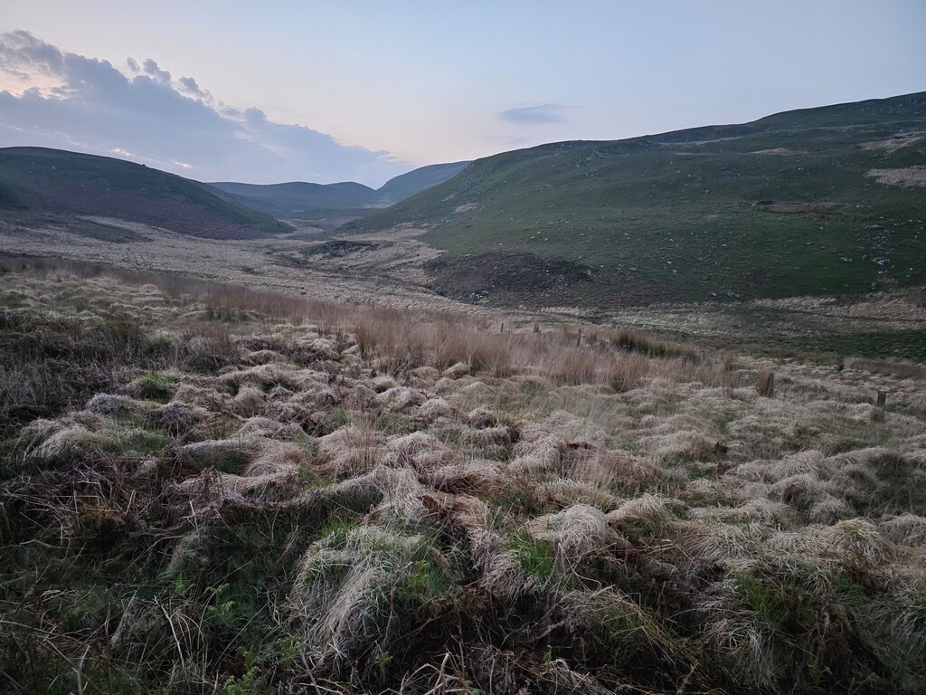
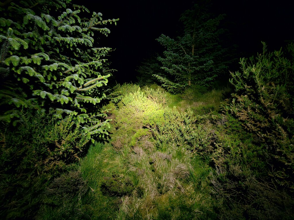
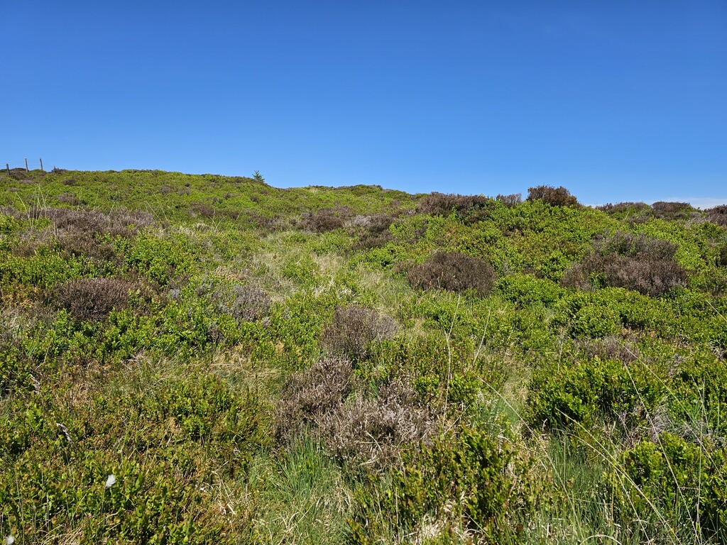
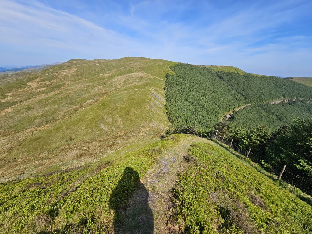
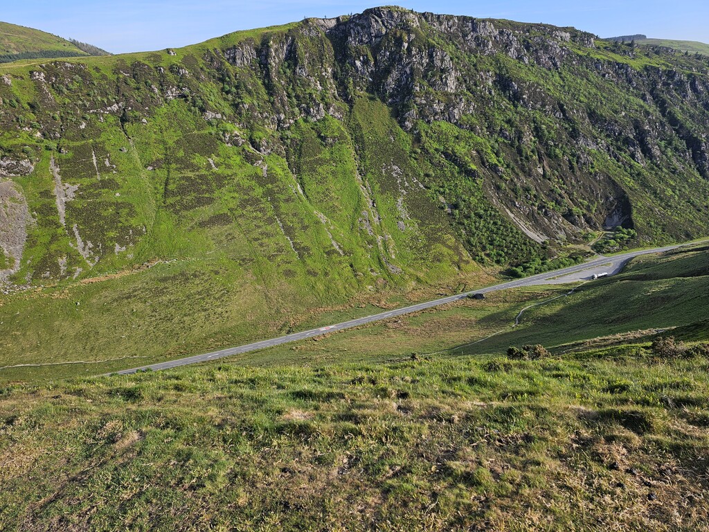
Now things were about to ramp up as I headed North into the remote moorland where there are no tracks to follow. Ahead of you is mile upon mile of tall grassy tufts and boggy ground to wade through which saps your energy and speed. As night fell my pace dropped off further and I was beginning to fall behind my ‘A’ schedule. Having finally negotiated a mile of the worst ground conditions on the entire Cambrian Way in the dark I decided I would stop for the night and try to get some decent sleep before tomorrow. My laying up position for the night was about 5 miles short of where I wanted to be.
Day 4, Tue 13 May 2025 - 44.5 miles / 8,267ft
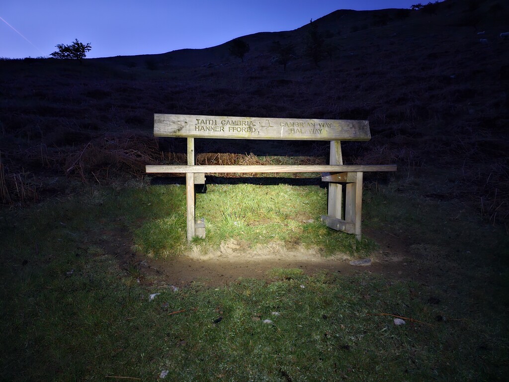
The original plan for Day 4 was to reach Dinas Mawddwy but this was now looking unrealistic. Nevertheless, I strived to keep a positive and optimistic mindset. I passed through Strada Florida and reached the half-way bench at 0433 - just 72 hours and 3 minutes into the FKT. I was encouraged by this but deep down I knew the second half would be harder, despite the ever-lightening load.
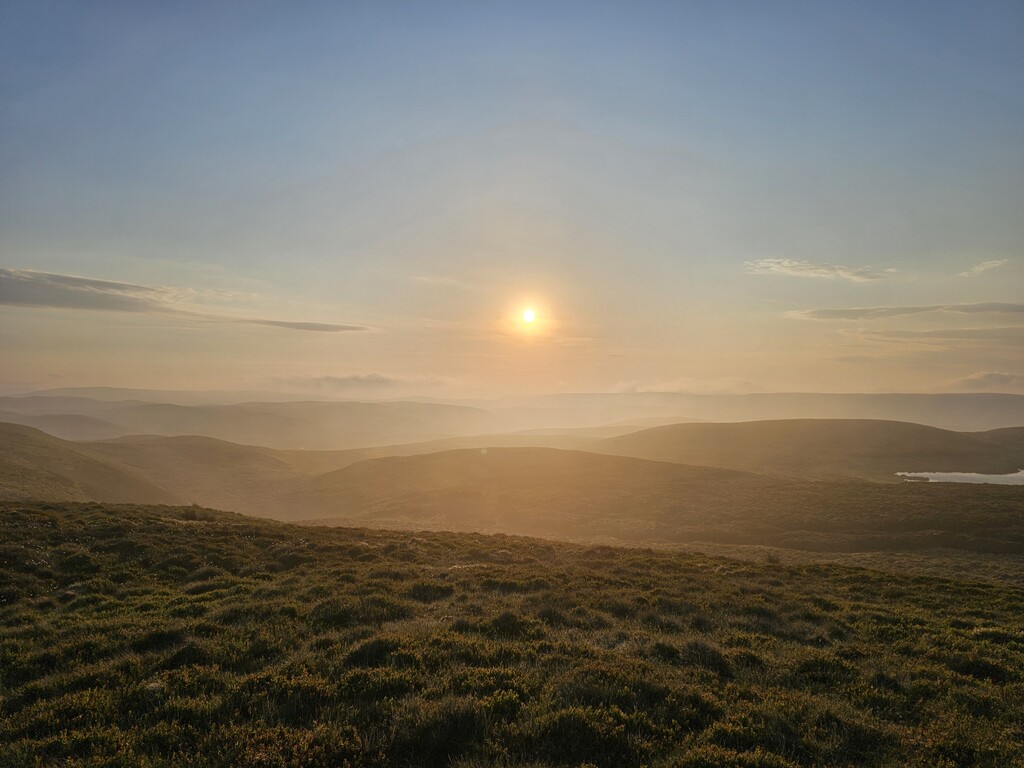
By the time I began my ascent of Pumlumon again I was really struggling in the heat and intense sunlight. I had already considered the possibility of laying-up during the hottest hours of the day and moving at night. I felt I had reached a point where I needed to take this approach. So, I set up my shelter and climbed in. Unfortunately, there was no natural shade nearby and the shelter became like a greenhouse in the intense sunlight. After lying there baking for 2-3 hours I realised this was a terrible idea. I was evident I wasn’t going to sleep, so I cut my loses, packed up and set off once again, angry with myself for wasting precious time for no good reason.
Now I was on the back foot and well behind on my ‘A’ schedule. I pressed on as fast I as I could over Pumlumon, past the old boat house where I took shelter last year, through Dylife and dragged myself through half a mile of overgrown gorse bushes. I eventually reached my laying up position in a small forestry block near to Commins Coch. By now I was exactly on my ‘B’ schedule (6 days 12 hours) and was determined not to slip further.
Day 5, Wed 14 May 2025 - 37.2 miles / 9,547ft
I woke up in pain after very little sleep. It had taken a while to settle down and stop my mind from analysing my progress. By this time, I was beginning to regret bringing such a thin sleeping mat in a bid to minimise weight. Although I usually slept on soft grass or pine needles sleeping on my side was excruciating because my hip muscles were so sore.
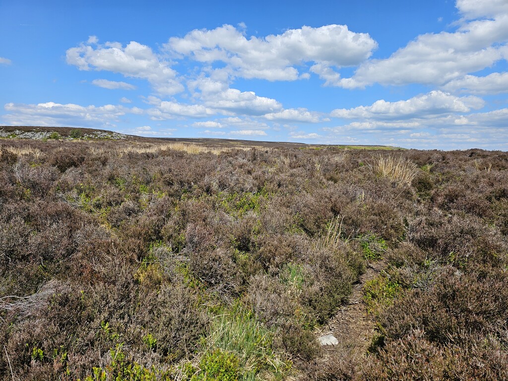
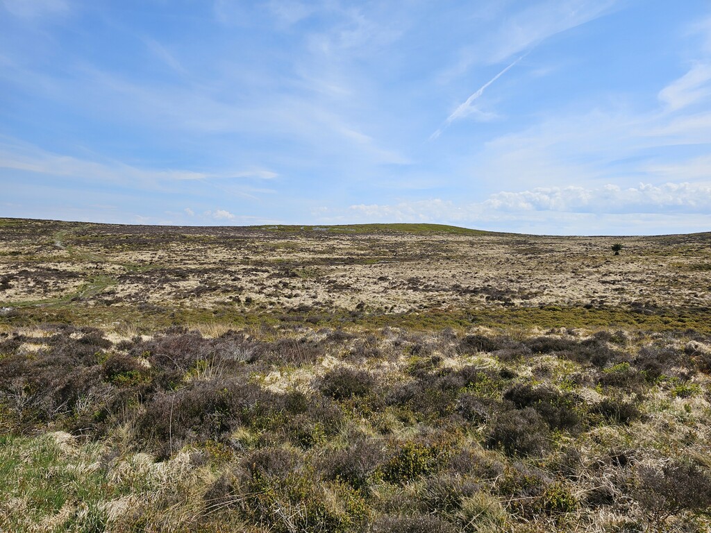
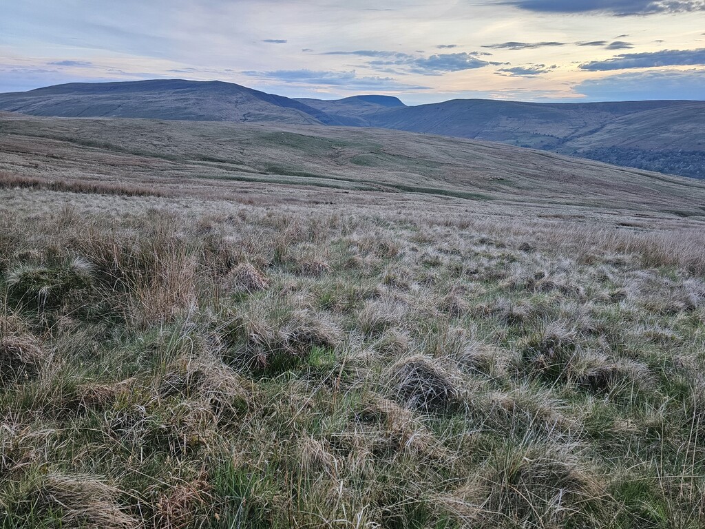
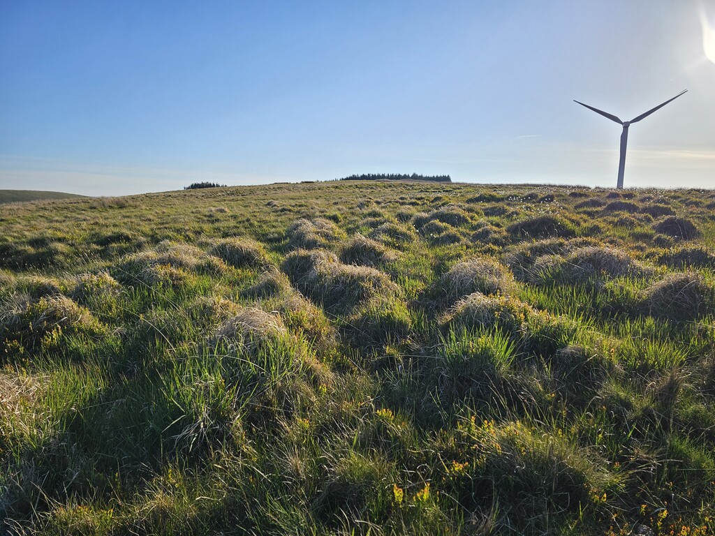
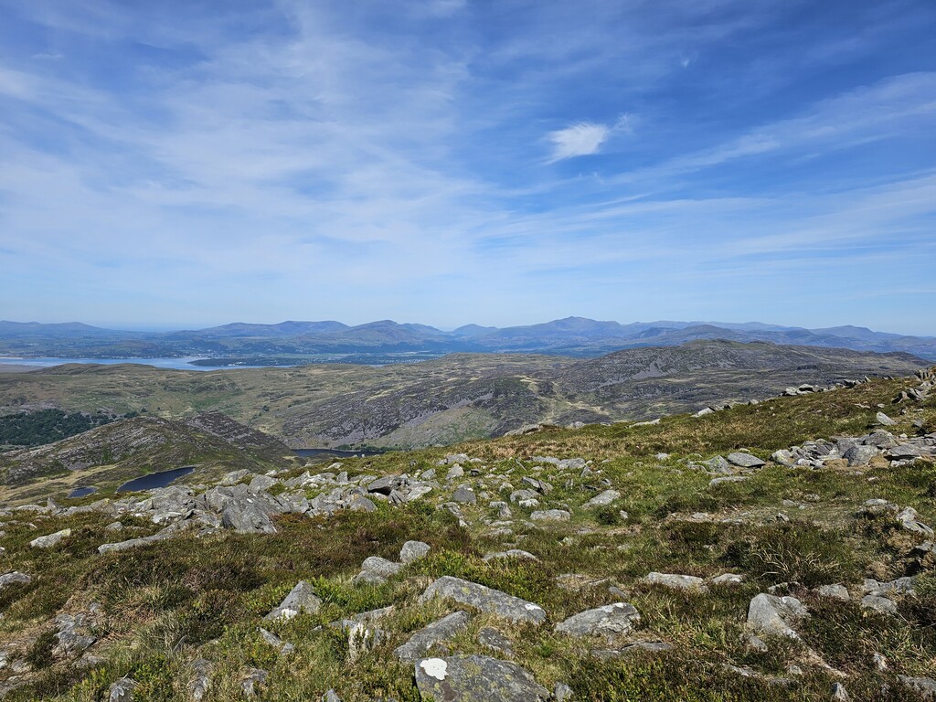
My aim today was to get past Barmouth and at least start my way up the challenging Rhinogydd mountain range. I passed Commins Coch and made my way onto the Mynydd Cemmaes plateau which is home to about 20 wind turbines. I resisted the temptation to speed along the gravelly service road that runs between the turbines and followed the trackless official route across the grassy moorland.
In terms of weather, I knew I was facing yet another day of being blasted by solar radiation. It was mid-morning by the time I reached Minllyn slate quarry above Dinas Mawddwy. There I prepared for my brief visit to the village of Dinas Mawddwy by unpacking my rucksack and caching most of my kit to reduce the weight, as is allowed by the rules. This 2-mile out-and-back leg is another tempting shortcut to make but Dinas Mawddwy is one of the 41 official checkpoints, and as such any successful completion of the Cambrian Way must pass through it. I took the opportunity to fill my water containers at the public toilets in the village. Ahead of me was a tough 20 mile stretch with numerous steep climbs and descents.
After 5 brutal days and a full day of steep elevation changes both patella tendons were feeling tender. At times, only the left tendon would give me trouble, then later it would swap to the right as if they were in a tag team. By the time I neared Arthog my legs were suffering and I made the difficult decision to finish early in a bid to regain some strength and have a better day tomorrow. At just 37 miles this would was shortest day by far. With that in mind, I set my alarm for 0230. Unfortunately, I had another terrible night of sleep during which I slept less than 2 hours.
Day 6, Thu 15 May 2025 - 40.4 miles / 11,995ft
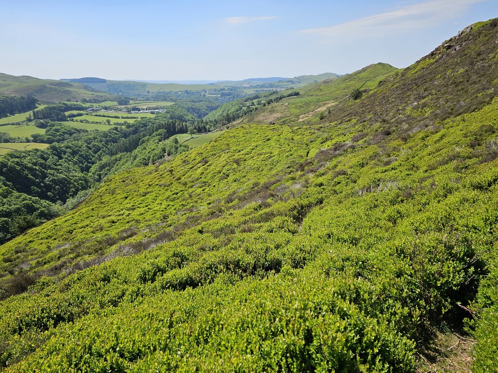
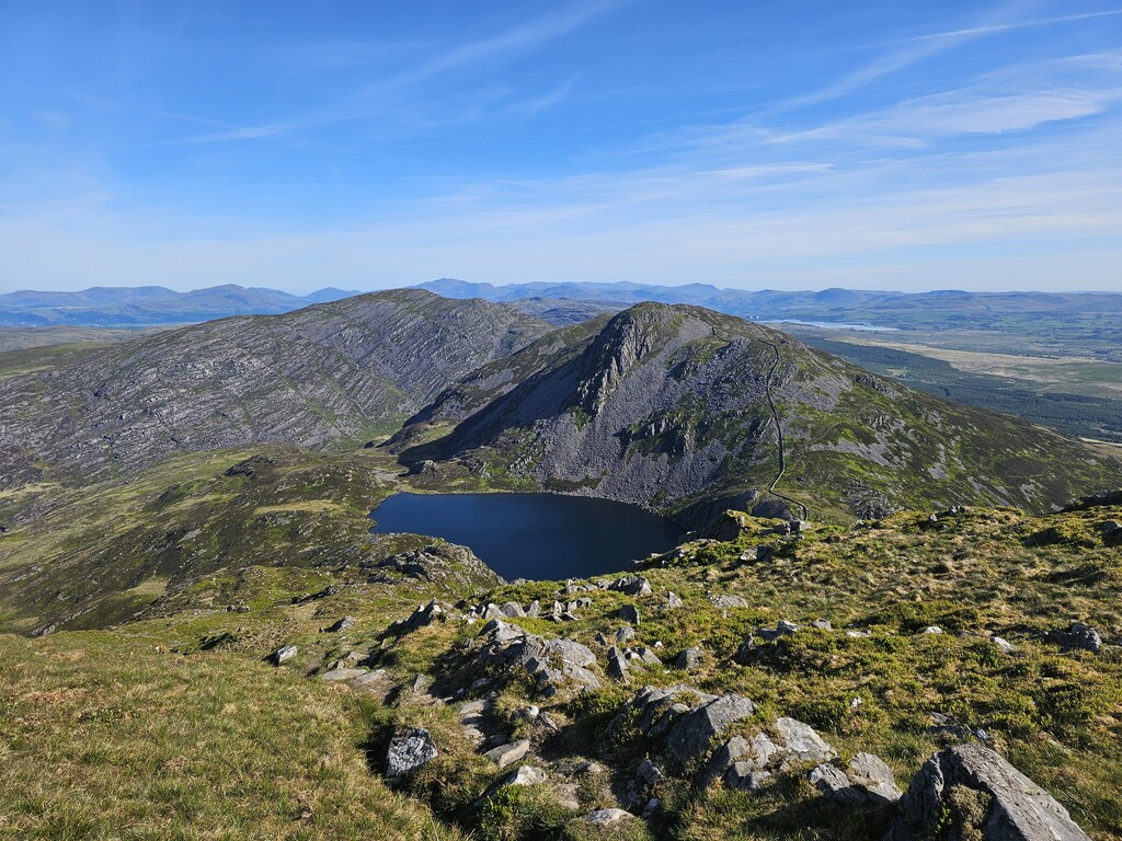
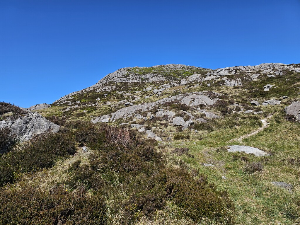
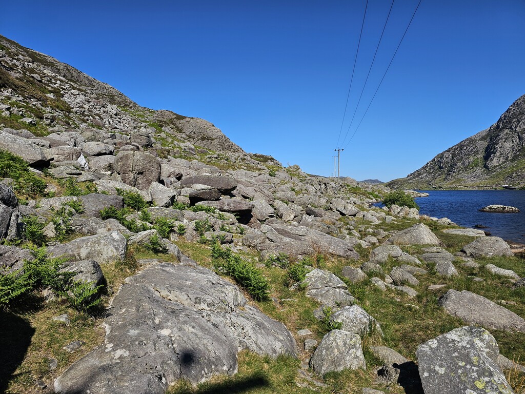
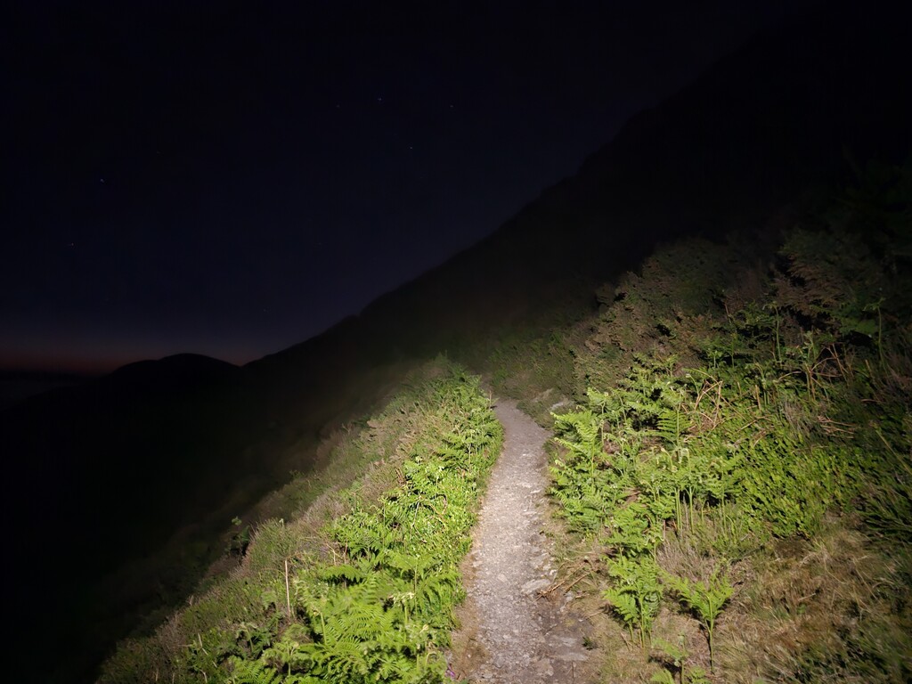
I woke at 0230 almost in denial that was my rest period was over so soon. They felt so short that days barely felt distinct. Fortunately, my legs felt a little better as I clambered down the steep descent off the ridge towards Hafotty Fach. Having crossed the bridge to Barmouth I now faced what is commonly regarded as the toughest section of the entire Cambrian Way – the Rhinogydd. This 26-mile leg covers moorland, steep scree descents, rocky outcrops, boulder fields and fern covered hillsides, with access to only one source of water around half-way along.
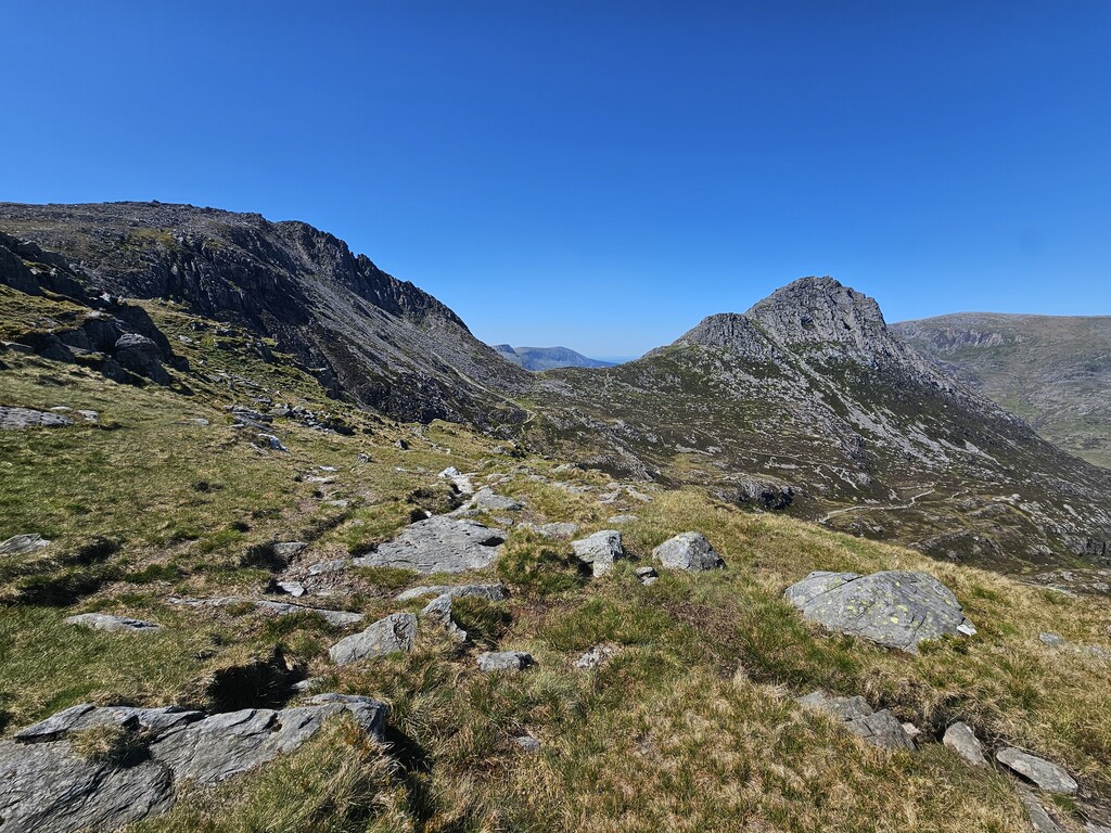
The entire leg from Barmouth to Maentwrog usually takes me around 11 hours with a 10kg pack. I had set a personal best time of 9 hours just a few weeks previously, but with 225 miles of fatigue in my legs this time it took me 14 hours to cross the Rhinogydd! I pushed myself hard the entire way but took extra care rock-hopping the technical sections. On reaching Cwm Bychan I looked up towards Clip with dread as I realised how much the fern had grown since I last passed through a few weeks earlier. There was only one thing for it: I blasted 200mg of caffeine, chased it with 50g of jelly fruits, flipped the aggression switch and charged up there to the sounds of my metal playlist. For the next hour I felt absolutely unstoppable. All fatigue melted away but I knew this feeling would not last. Once I reached the plateau I just needed to maintain focus to navigate the tricky section between Clip and Moel y Gyrafolen.
On reaching Maentwrog I knew I needed to press on as far as possible that night in order to minimise the distance I would need to cover for my final day. I dropped another 200mg of caffeine and pushed on uphill yet again, past Dduallt Station, around the enormous dam of Llyn Stwlan and up towards Moelwyn Mawr. It was almost dark when I reached the col between Moelwyn Bach and Moelwyn Mawr and I was struggling to remain on my feet as I was buffeted by Venturi effect winds rushing through the gap. By the time I reached the summit I was very cold – and needed to decide where to stop for my final night’s rest. Rather than tackling the technical descent of a windy Cnicht in my exhausted state I thought it best to pitch up just short of the final mountain. I had done enough for the day and didn’t want to take unnecessary risks.
I pitched my tarp tent on a small grassy ledge which seemed reasonably sheltered at the time but the wind must have changed direction because it blew straight through my shelter and under my down quilt throughout that final night’s rest.
Day 7, Fri 16 May 2025 - 46.3 miles / 12,490ft
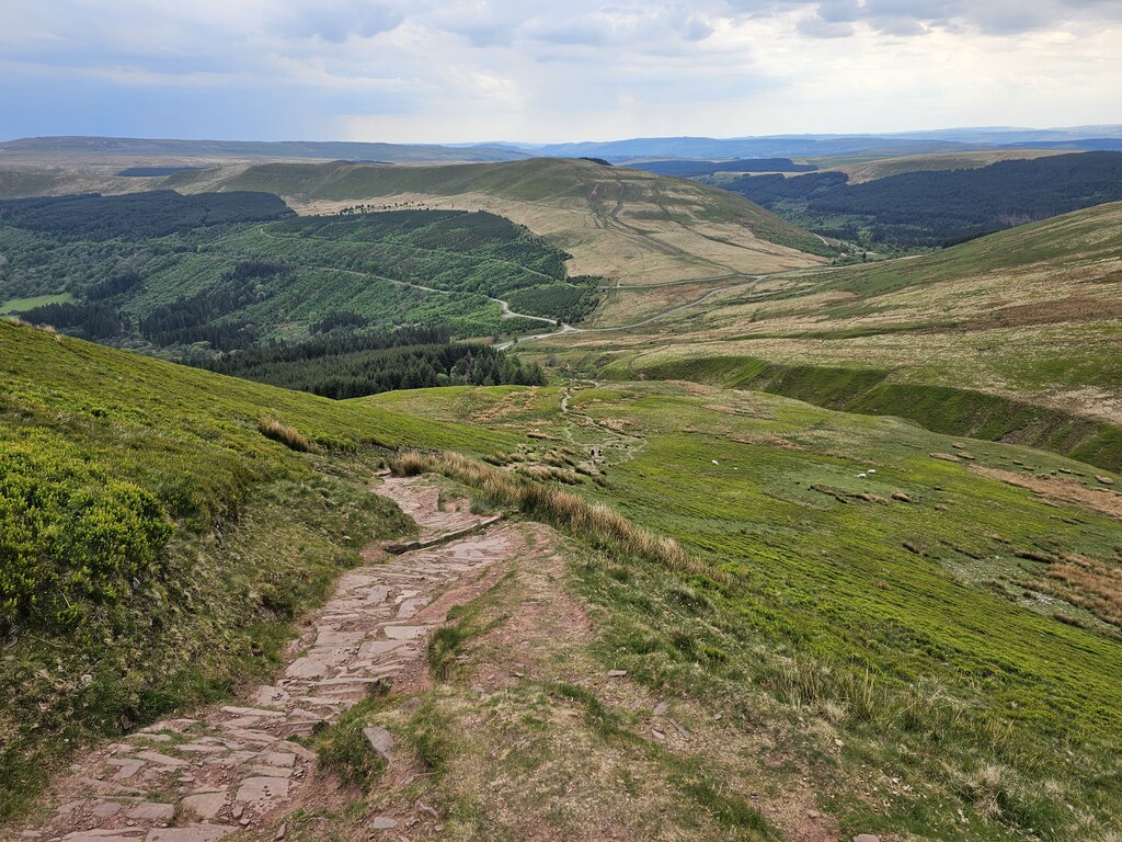
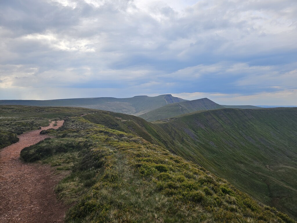
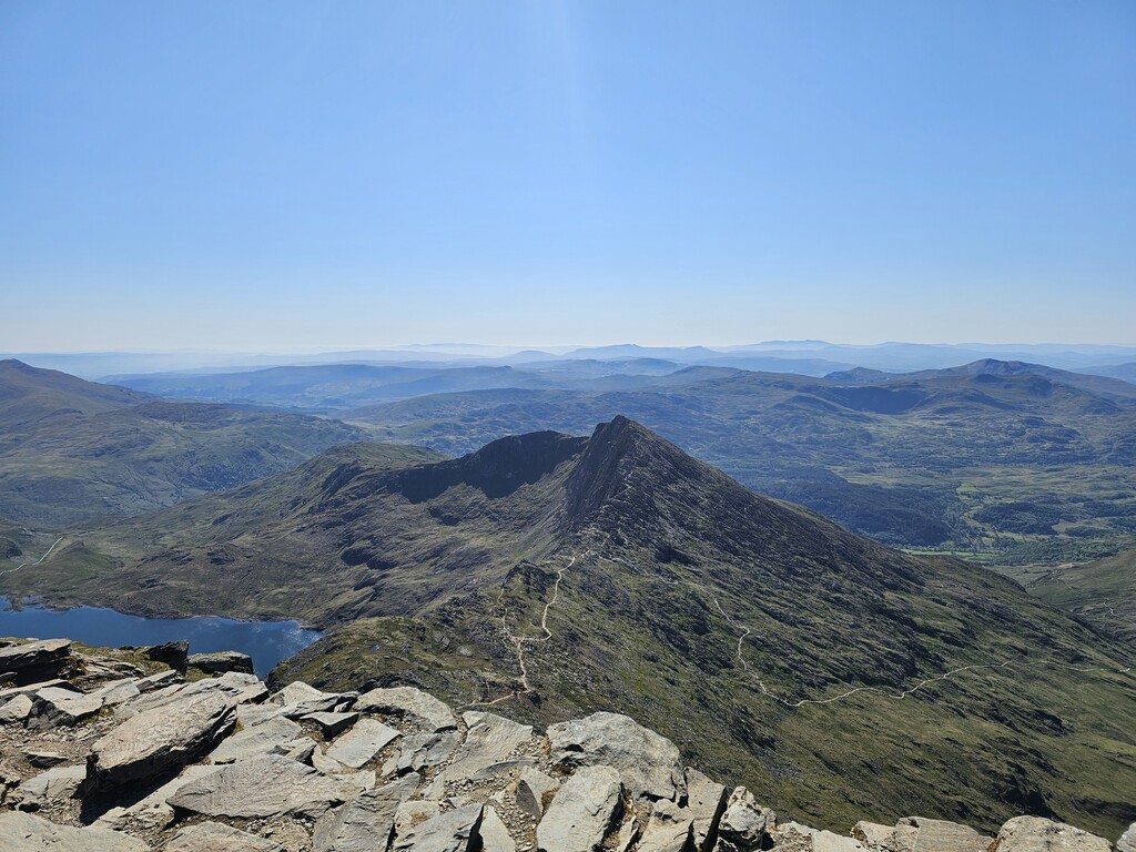
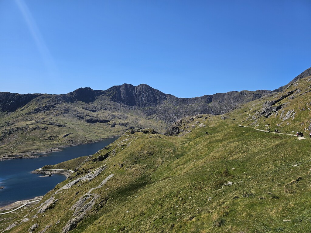
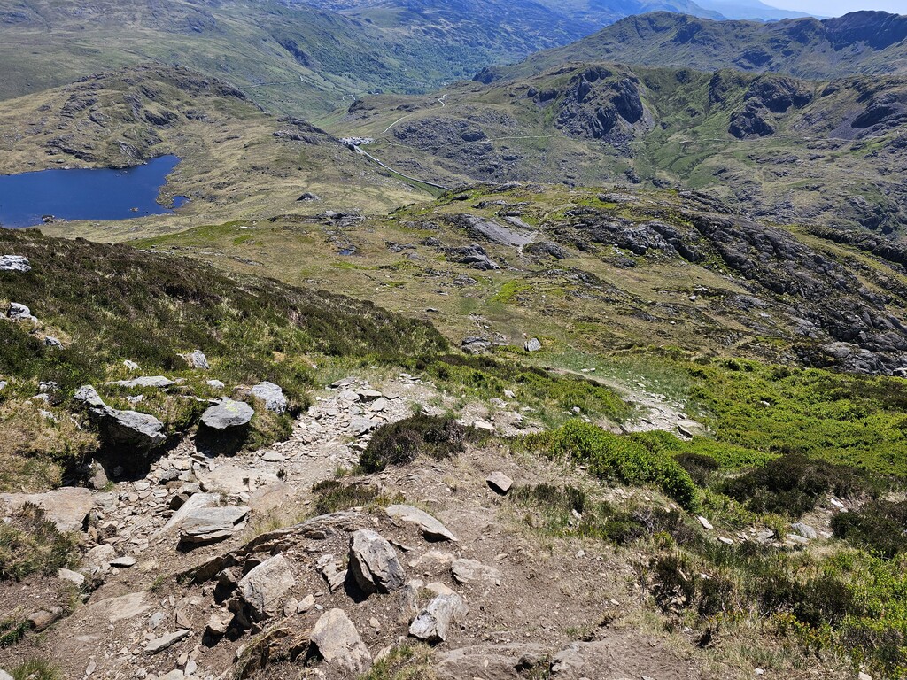
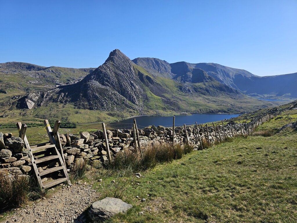
I doubt I slept more than about hour that night and by the time my alarm sounded and I was chilled to the bone. Spurred on by the fact that this was my last day I prepared my rations and packed up. It was still dark as I carefully eased myself down the Western side of Cnicht. Walking alongside Afon Glaslyn and Nant Gwynant, I mentally prepared myself for the last 40 miles during which, as a final crescendo to the Cambrian Way, I would climb Yr Wyddfa (the highest mountain in Wales and England) and cross the Glyderau.
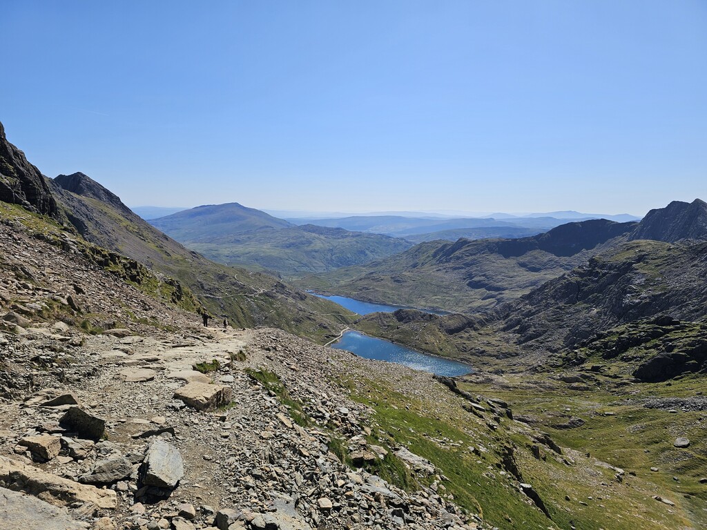
By the time I had finished the rocky descent to Pen-y-Pass my legs were very sore and I was feeling very fatigued, so I took a 5-minute dirt nap to recharge. Now I only had one litre of water left and the public tap at Pen-y-Pass was broken. By my assessment, the next reliable water source was Afon Bochlwyd about 3 hours away. I was sure my drinking rate was well over 400ml/hour so I really needed more water. I made the decision to cache my pack before ascending Glyder Fawr so that I could run down to Llyn Cwmffynnon to collect more water. I usually avoid water from lakes but this time I had no option, so I purified it with some Micropur and pressed onwards. A 10-minute detour but I couldn’t risk a heat injury at this stage.
After passing Idwal Cottage and filling all my water containers for the final 20 miles I began the long ascent up Pen yr Ole Wen only to notice I had some company, in the form of some runners taking part in the 100mile Ultra-Trail Snowdonia. To my surprise I realised I was ascending as fast as the runners despite the extra weight. It was only then I realised just how much my months of vert training at Dinorwic slate quarries had paid off.
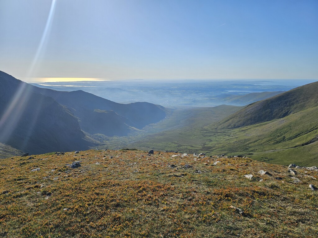
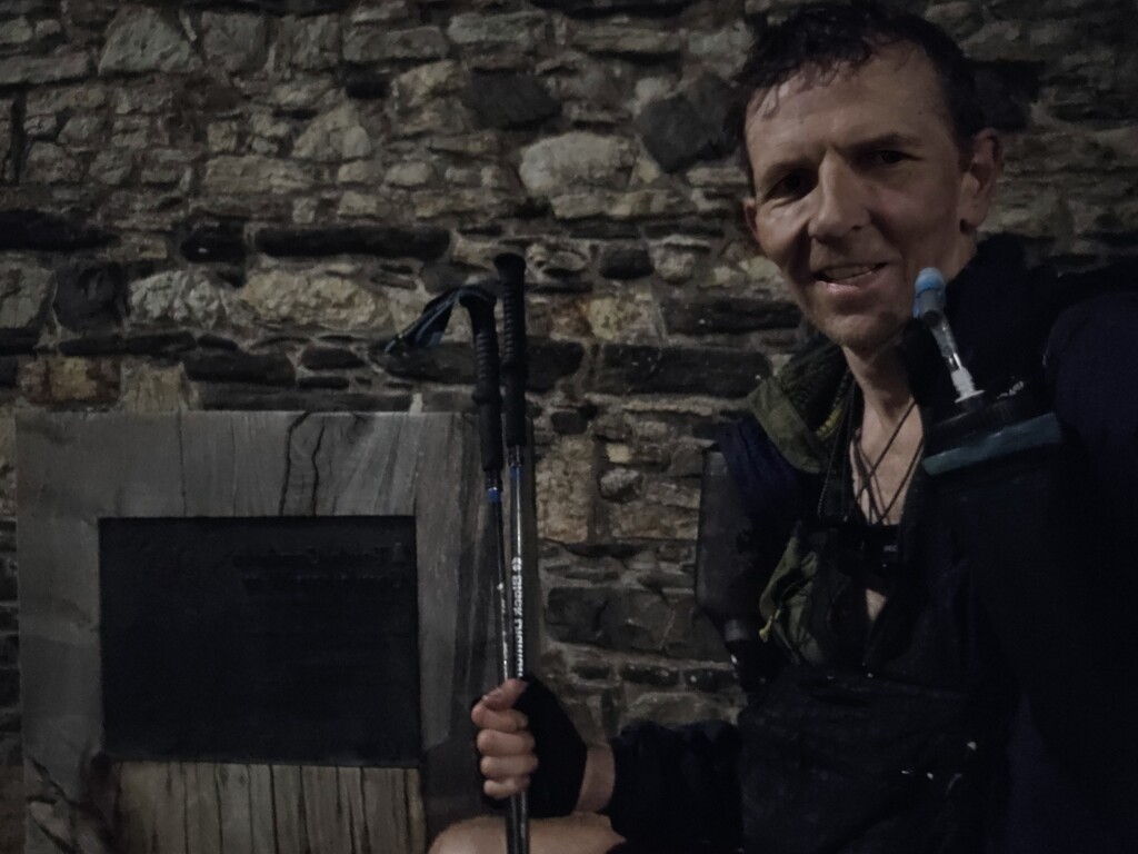
As expected, the final 15 miles to Conwy was a real slog. By now my feet and legs were very sore after recent days on hard rocky trails. With no water and just a couple hundred calories left, I finally arrived at the Cambrian Way plaque next to Conwy castle at 0050 on the following Saturday morning, completing the 321-mile route (according to my GPS) in 6 days 20 hours and 20 minutes and finally achieved what I set out to do.