
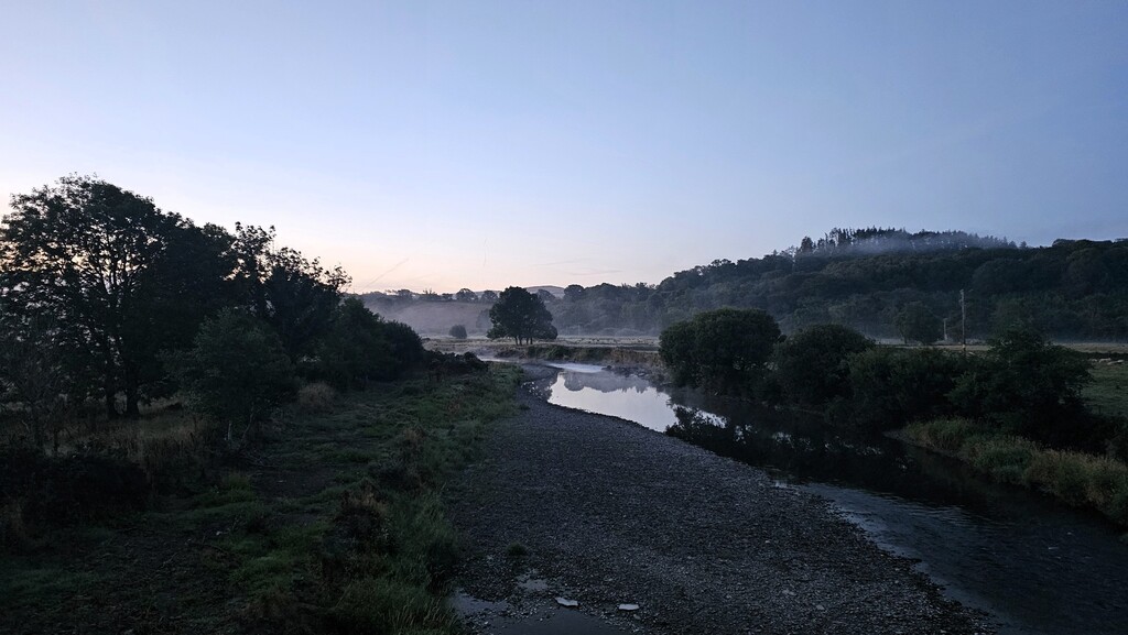
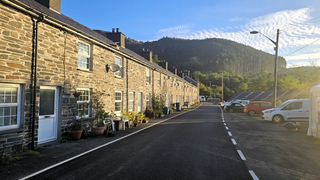
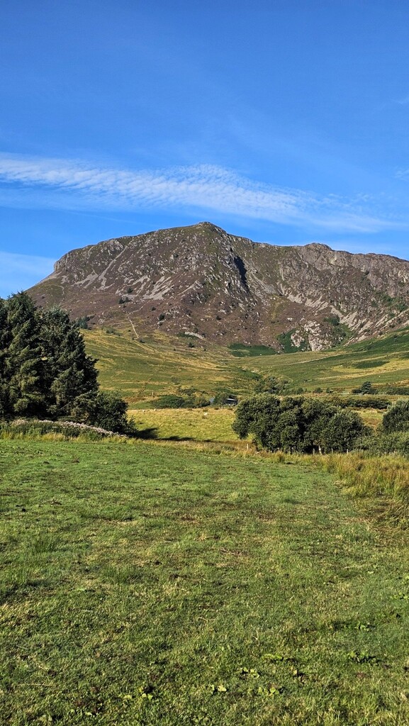
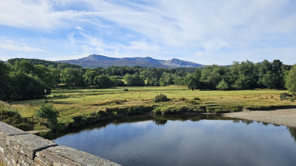
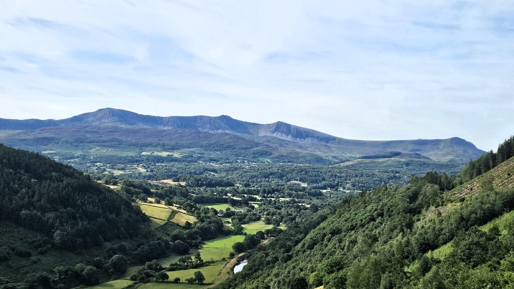
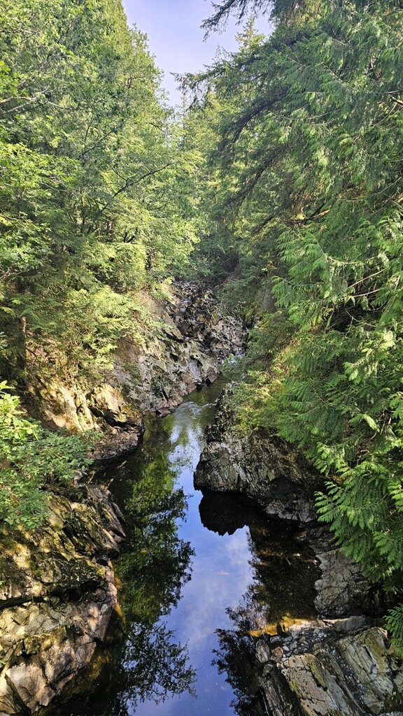
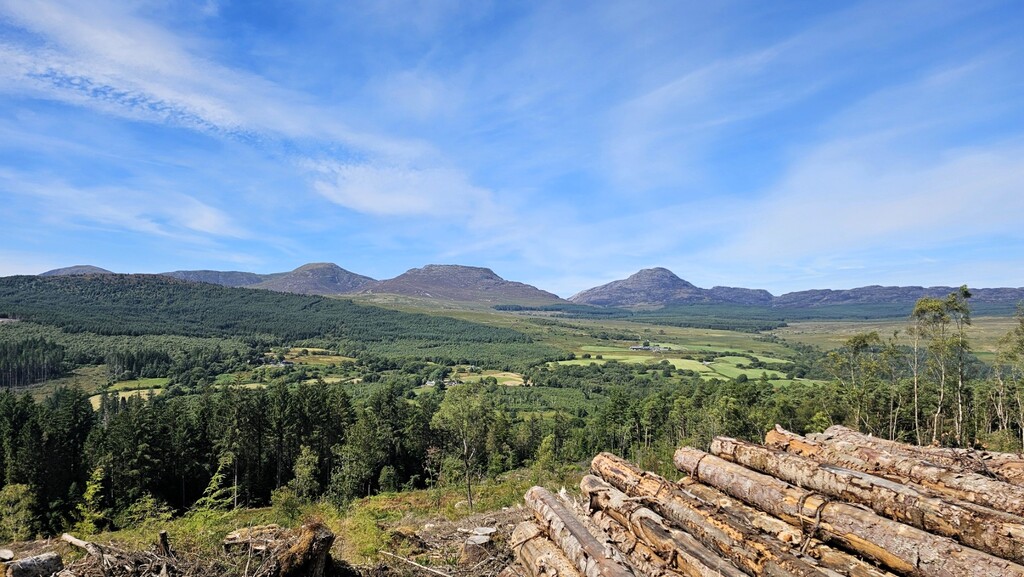
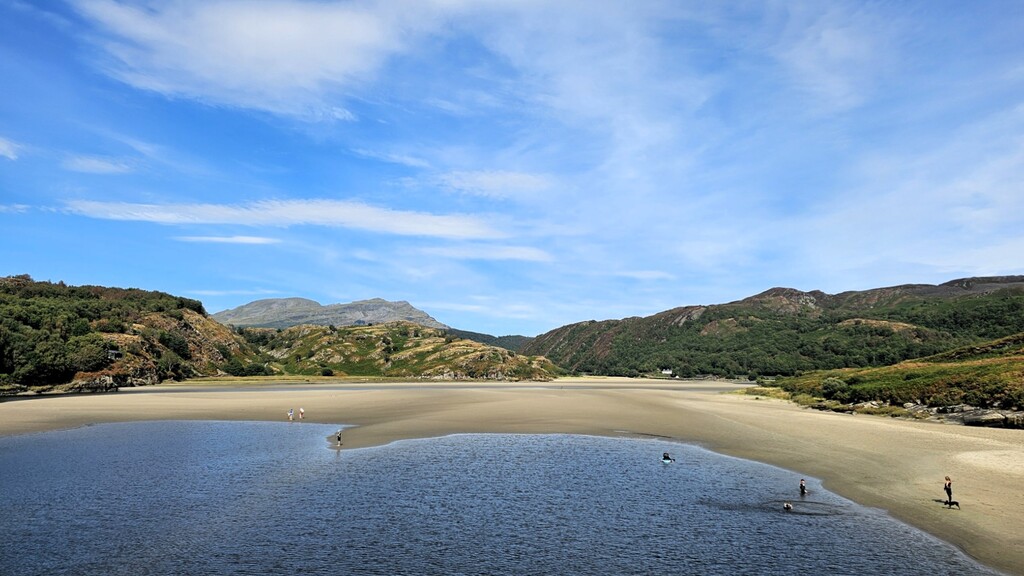
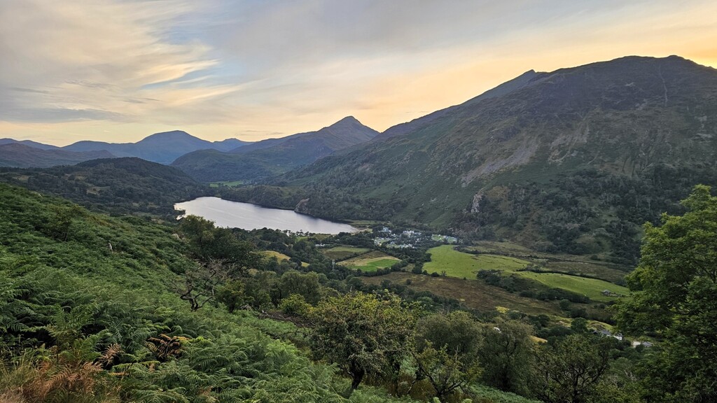
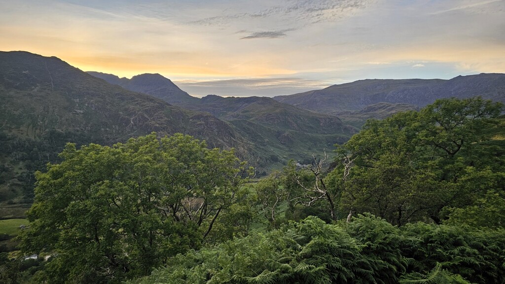
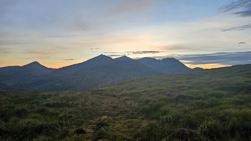
I set off from Machynlleth at 5:00am on Saturday 8 August 2026. The forecast was for fine, sunny and warm weather with only a minimal chance of a shower the following day, so I was able to cut down on some of my gear to save weight. As usual I planned to complete the route without any support so I had identified the available water sources along the way before starting.
My intention was to primarily use this FKT as an opportunity to experiment with different nutrition strategies and gear as preparation for other more ambitious FKTs. The plan was to hike the whole route at a decent clip and maximise speed and efficiency without running. In other words, set a respectable time but not go all out and need a long recovery time.
The route follows paved roads for much of the first 10 miles so I was able to cruise along comfortably at 4mph. Having crossed the A470 at the ‘Mach loop’ viewpoint I eventually reached Dolgellau just after 9am. Although I had never walked the route before I expected it to be relatively easy to navigate, but by mid-morning I could tell that this was not a well-trodden route and with the ferns now at chest height it made it very difficult to identify the path if many places.
As it turned out I was not having a good day navigationally speaking. I managed to take the wrong fork in a path resulting in 5 minutes wasted. Not much in the grand scheme of things but it was to be the first of many wrong turns that day!
On my approach to Trawsfynydd I was conscious of the fact that the footbridge across the lake has been closed for some time, so I simply followed the only alternative – that was to head south on the A470 and turn West to rejoin the official route. Having descended passed Trawsfynydd dam I approached Llyn Tecwyn Uchaf. Around this time my Garmin watch alerted me that I was off course so I retraced my steps back to where the official route cuts through a short section of forest. No problem, except, there was no path, not even a hint of a way through. I did my best to find a way through but it was nigh on impossible. It was clear no-one had passed through there in a very long time, if ever! So, I cut my losses and followed the forest track that loops around that section of forest.
It was only after returning home I realised that I made a minor accidental navigational error at Llandecwyn. I knew there was a right turn ahead but I accidentally turned too early and had already rejoined the official route 3 minutes later, before I realised my mistake. The path I took ran alongside the official route but the overall distance covered was exactly the same (0.2 miles), so there was no gain or loss made. I wanted to highlight and explain this error for the sake of full transparency.
I arrived at Penrhyndeudraeth at 3:40pm and took the opportunity to refill my bottles with fresh water at the public toilets. Later as I neared the B4410 I was following a reasonably good path cutting across rough terrain. The clearly established path veered right at ///lights.kilt.strides, so I followed it without thinking twice. There was no alternative path. But once again my Garmin watch alerted me to being off course. So, I backtracked and did my best to find the official route as indicated by the GPX. I immediately found myself wading up to my armpits in dense ferns under which you could see absolutely nothing. There was no path. Nothing. All I could do was keep bushwhacking my way through whilst doing my best to follow the official route. Every few seconds I would get shredded by brambles hidden by the fern at leg height. I eventually reached the fenceline of the single-track country lane with blood dripping down my thighs only to realise there was not even a stile or a gate, only a barbed wire fence at the point where I was supposed to cross! Rather frustrating, but stoically I told myself it’s all part of the adventure. I would urge anyone attempting an FKT to follow the established path and not to attempt to follow the official route at that point as it makes no sense whatsoever. Even though it is marked on OS maps, there is no path there and there is no means to safely cross over the fence to the road.
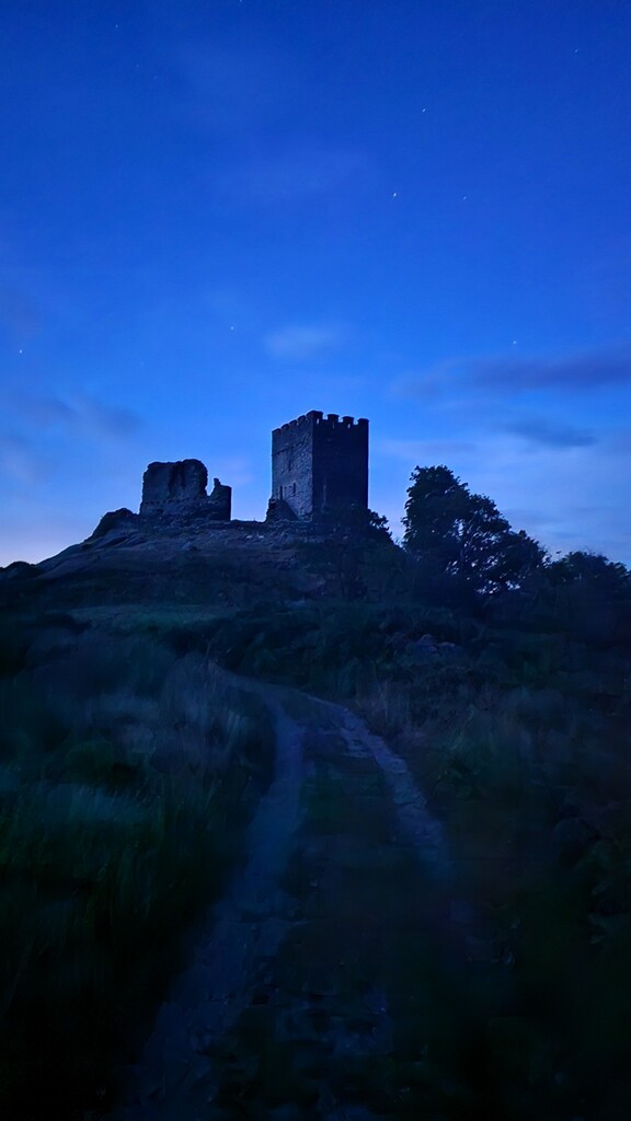
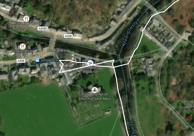
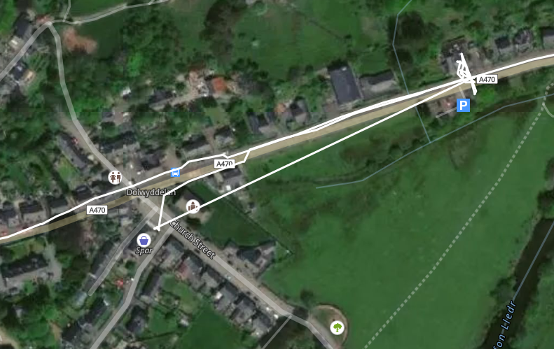
I passed through Croesor and joined a path that forms part of both the Snowdonia Slate Trail (Llwybr Llechi Eryri) and the Cambrian Way. This eventually led to the scenic walk alongside Afon Glaslyn and on to Beddgelert where, once again, I later realised I had made another minor navigational error. The official GPX (available on the Cicerone website) indicates what appears to be a short (approx. 100m) out and back leg into Beddgelert. The trace appears to be rather erratic and passes through buildings so I assumed it was just an anomaly in the GPX file, because the file contains another clear anomaly at Dolwyddelan (see photos). This is why I passed straight through Beddgelert. It was only later whilst reviewing the guidebook that I realised the official route does indeed go into the village as far as the stone bridge. Missing this section saved me only about 1 minute but I wanted to highlight this oversight for transparency.
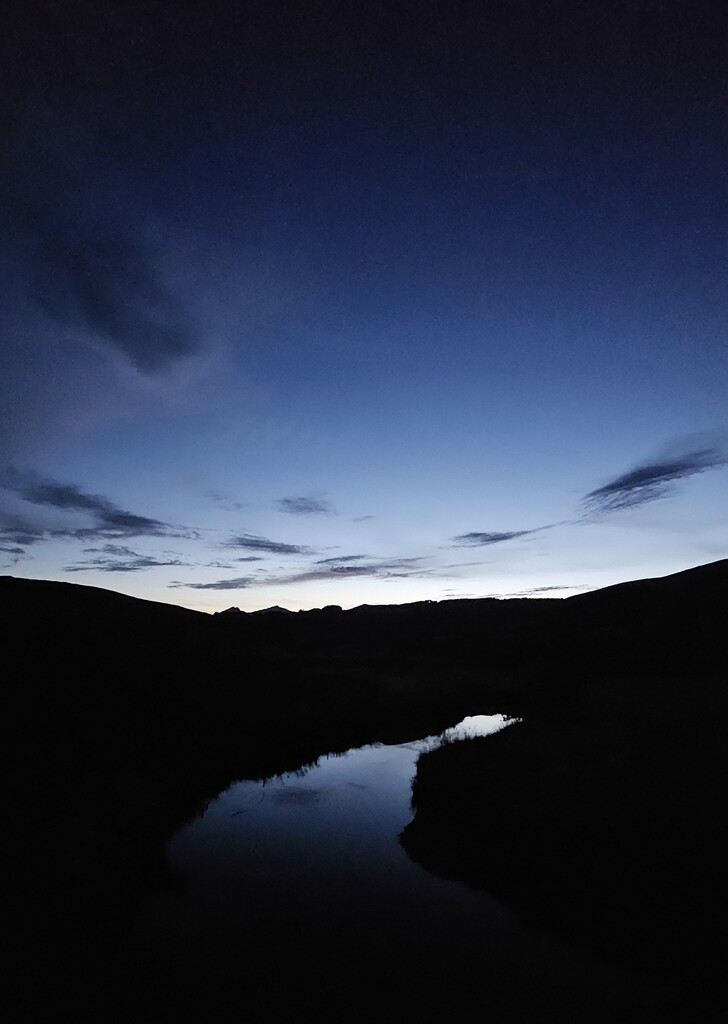
I made good progress up Nant Gwynant and ascended over Bwlch y Rhediad at dusk. By the time I reached the valley it was dark. I decided not to use my headtorch as I passed through some farmyards. Instead, I relied on my night vision in an attempt to pass through unnoticed, especially by hyper vigilant farm dogs!
After a short pitstop at Dolwyddelan where there is a publicly available water refill station, I began the ascent over a remote region towards Capel Curig and then along the Ogwen valley. Unfortunately, by this time it was in the dead of night so I could not take in the views of Tryfan and the Glyderau. By the time I reached the Ogwen visitor centre at about 2am I had been moving virtually non-stop for 21 hours so I took a 10 minute rest during which I did my best to sleep but knew I was not tired enough to do so. As I began the descent into Nant Ffrancon I thought this was the perfect time to pop 200mg of caffeine to see me through to dawn. It certainly had the desired effect. I felt a renewed sense of drive and my hiking speed was back up to 4mph.
After passing through Bethesda and skirting around Moel Wnion I rejoined the path that forms part of both the North Wales Path and the North Wales Pilgrim’s Way, so I was on very familiar ground. It was light again by the time I reached Aber Falls. I took another 10 minute rest to allow my mind to go on stand-by mode before crossing the Roman Road and starting the descent into Llanfairfechan. By this point I was starting to get some hotspot issues on my feet so I took the time to address those as best as I could without wasting too much time as I only had 9 miles left.
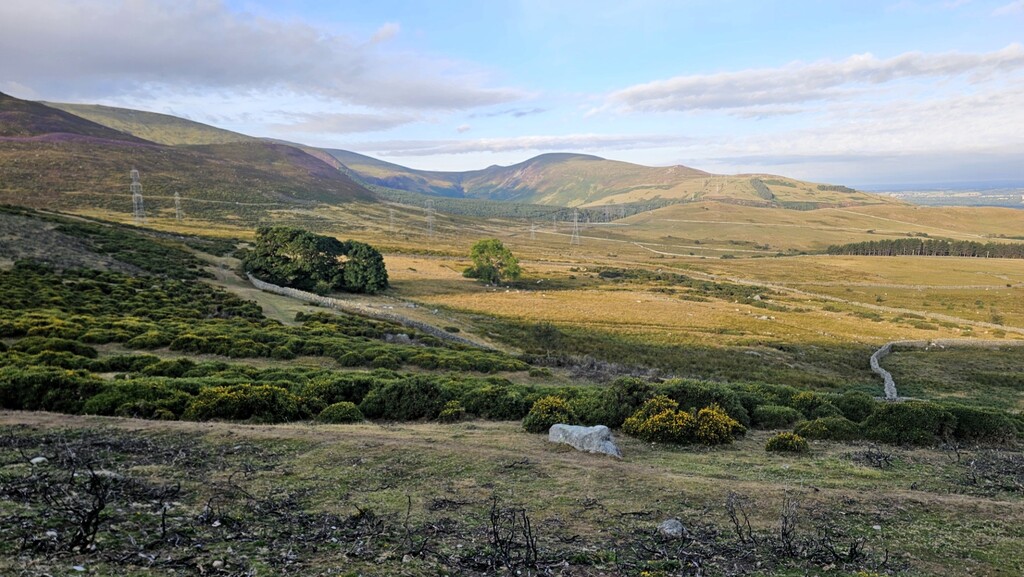
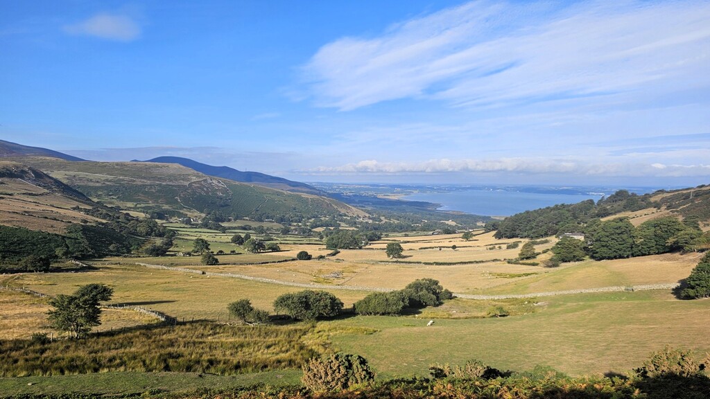
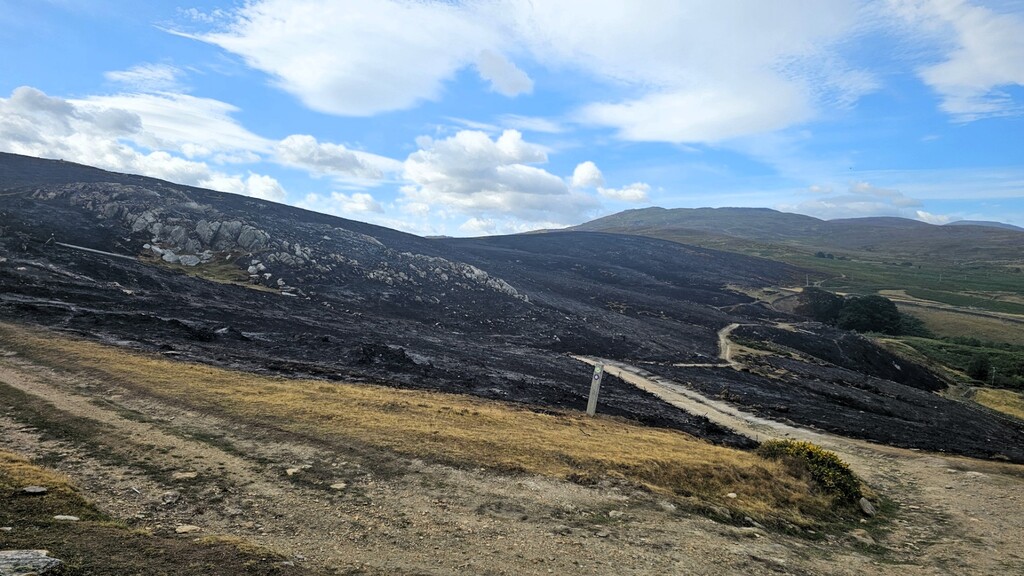
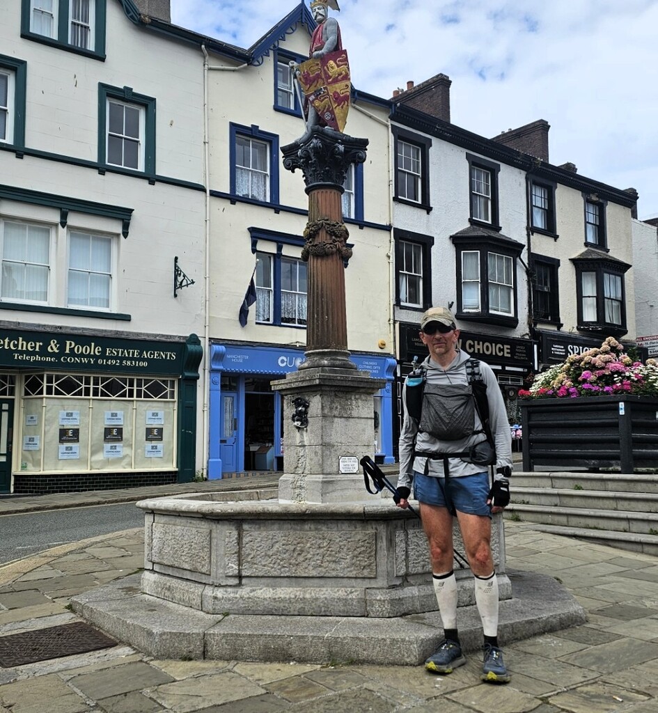
In the final few miles, I passed a section above Capelulo which had been devastated by wildfires only a few of weeks before. It was sad to see the charred landscape but my spirits were lifted as Conwy came into view, marking the end of the Snowdonia Way. Conwy High Street was bustling with tourists as I approached the end point at the statue of Llewelyn Fawr, the 13th century Prince of Gwynedd.
The route was completed in 29 hours, 47 minutes and 45 seconds. My plan had been to hike the route as efficiently as possible without running, as practice for longer efforts. Overall I felt that I achieved my goal so I was happy with the result. There is clearly much room for improvement in this unsupported time for anyone who intends to run sections. I would recommend only attempting it in mild temperatures when the ground is dry to give the best chances of success.