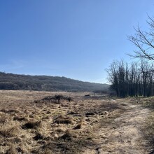
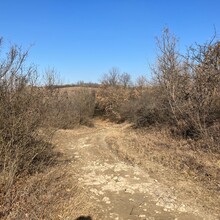
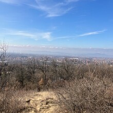
The start of this route is a little dangerous - perhaps it starts by someone's driveway, but the first 0.4 miles is along a busy road with a minimal shoulder. The trail begins on dirt track (double) and up a hill. With the time of year, things were a little muddy, but manageable, any more wet and it would have been more slippery/slidey. There were two places that i went down the incorrect route and had to double back, so some time was lost there. At the furthest south/east tip, there was a small hill that had a lot of sand, which was surprising. The upper half of the loop was nice and mostly covered in leaves, minimal muddy/slippery trail was exposed. The exact route was difficult to find at the end of the loop, prior to doubling back on the beginning out and back section. Between the Alltrails app and google maps, things were a tad difficult to decipher, being the first time i was in this location. It was lovely compared to running on paved surfaces, but not much technical or elevation.
Things heated up quickly when i was in open areas - the sun was great, but there were still some ice and frozen ground in some areas. The majority of the time, there was tree cover on the upper east side. the southern portion was mostly open and in the sun.


