
CYPRUS COASTLINE LOOP — 701.94 km — 20 to 27 July 2026
I am submitting this on behalf of Andreas Nikolaou, who I coach. I am Stefan Stankovic of BFL Coaching and I was one of his three crew for the attempt. If anything here needs clarifying, or you want a file in a different format, email me at external@bflcoaching.com and I will get back to you as soon as possible.
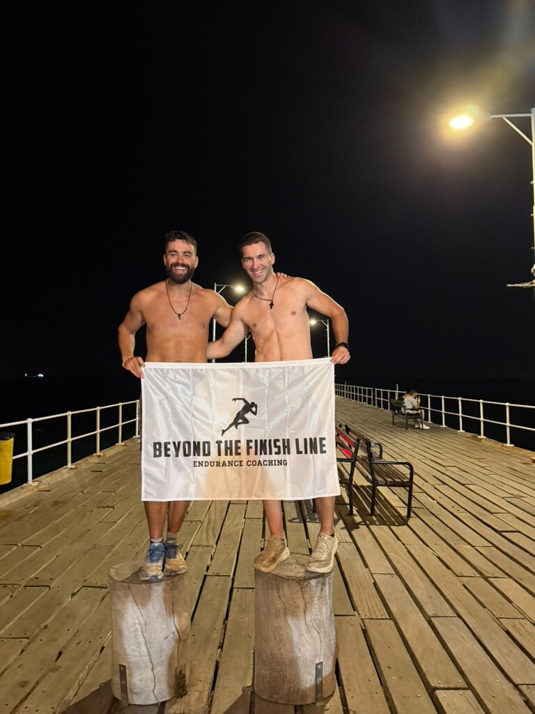
Andreas ran a continuous loop of the Cyprus coastline, supported, anticlockwise, starting and finishing at Molos Pier in Limassol. He set off at 00:07:02 on 20 July 2026 and finished at 22:42:27 on 27 July, both Cyprus local time (UTC+3). Gun to tape, that is 7 days 22 hours 35 minutes 25 seconds. The finish point is 30 m from the start point on the trace. We are submitting it as a new route.
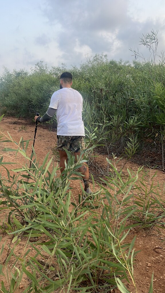
ROUTE: From Limassol he went east along the south coast through Zygi and Larnaca, around Cape Greco, north to Famagusta, then out along the Karpas peninsula to Cape Apostolos Andreas. He came back down the peninsula and followed the north coast west through Kyrenia and past Kormakitis, down the west side through Morphou bay and Polis, around the edge of the Akamas, then south through Paphos and Pissouri back to Limassol.
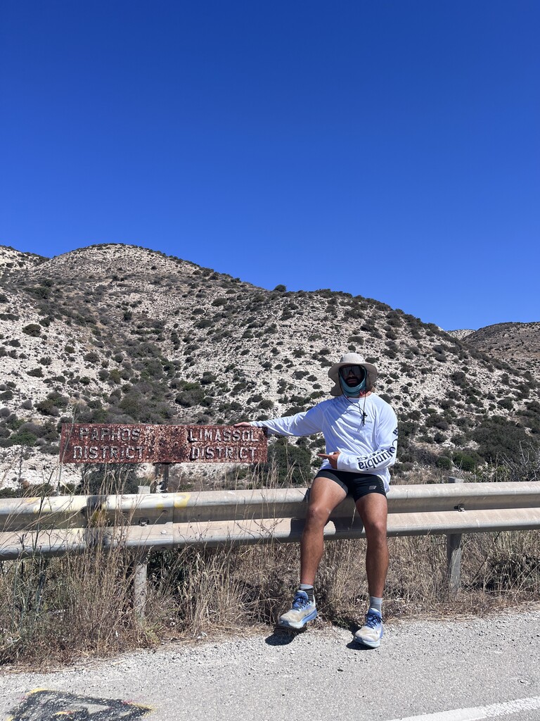
ROUTE CHANGES: The route was drawn in advance and measured 708.96 km. He covered 701.94 km. Four detours account for almost all of the difference, at roughly km 224 to 232 on the Karpas, km 437 to 444 near Kormakitis, km 565 to 572 at the Akamas, and km 650 to 666 around Pissouri. The reasons were not the same in each case. Two of them we knew about before he got there: the planned line at the Akamas, and again on the stretch between Paphos and Limassol, did not go through, so we redrew that part of the route on 25 July and he ran the revised version. The other two happened on the move. On the Karpas he lost the line at around 03:40 on 22 July, in the dark, and picked it up again an hour and a half later further down the coast. Near Kormakitis, late in the afternoon of 24 July, he came off it because the planned line was not somewhere it was safe to be running, and he took the road instead. In all four he rejoined the route at the first point he could. Those four detours together are about 16 km shorter than the planned line through the same points. The overall gap between plan and run is smaller, about 7 km, because a GPS trace of a road measures roughly 1% longer than a line drawn on a map of the same road, and that gains back most of it. I would ask you to treat the attached track as the route. The plan was a drawing; the track is what he ran.
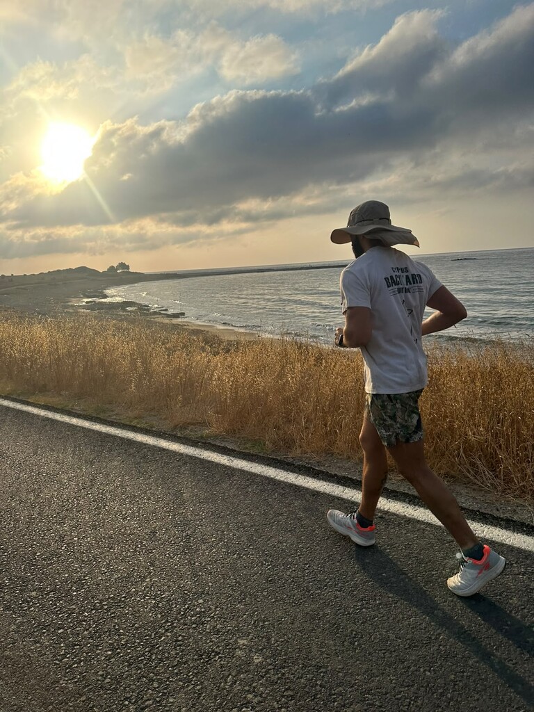
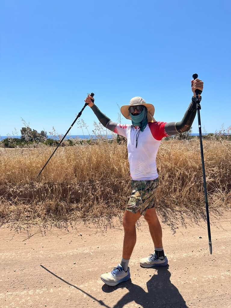
CONDITIONS: This was the hottest week of the Cypriot summer. His watch averaged 30.6 C over the eight days and touched 40 C. Independently, ERA5 reanalysis temperatures at his midday positions average 29.0 C with a peak of 38.2 C on 23 July. He spent 20 hours 9 minutes at or above 35 C and covered 89.9 km in it. The plan was to run at night and rest through the worst of the afternoon, and the splits show he held to it: 288.4 km in darkness at 8:39/km against 409.1 km in daylight at 9:38/km.
THE RUN: Of the 190 hours 35 minutes on the clock, 107 hours 11 minutes were moving, or 56%. He stopped 17 times for twenty minutes or more, 47 hours 7 minutes in total, the longest a single 8 hour 41 minute sleep. His longest unbroken push was 33 hours 10 minutes. Daily distances were 109.5, 93.1, 80.0, 84.0, 97.9, 84.8, 73.7 and 78.9 km. He reached halfway, km 351.0, after 3 days 13 hours 59 minutes, so the back half took longer, which is what you would expect. 8,505 m of climbing by the watch's barometer, high point 547 m at km 517.4. Best 24 hours 110.66 km. Fastest marathon split 5:16:24, fastest 100 km 13:50:44.
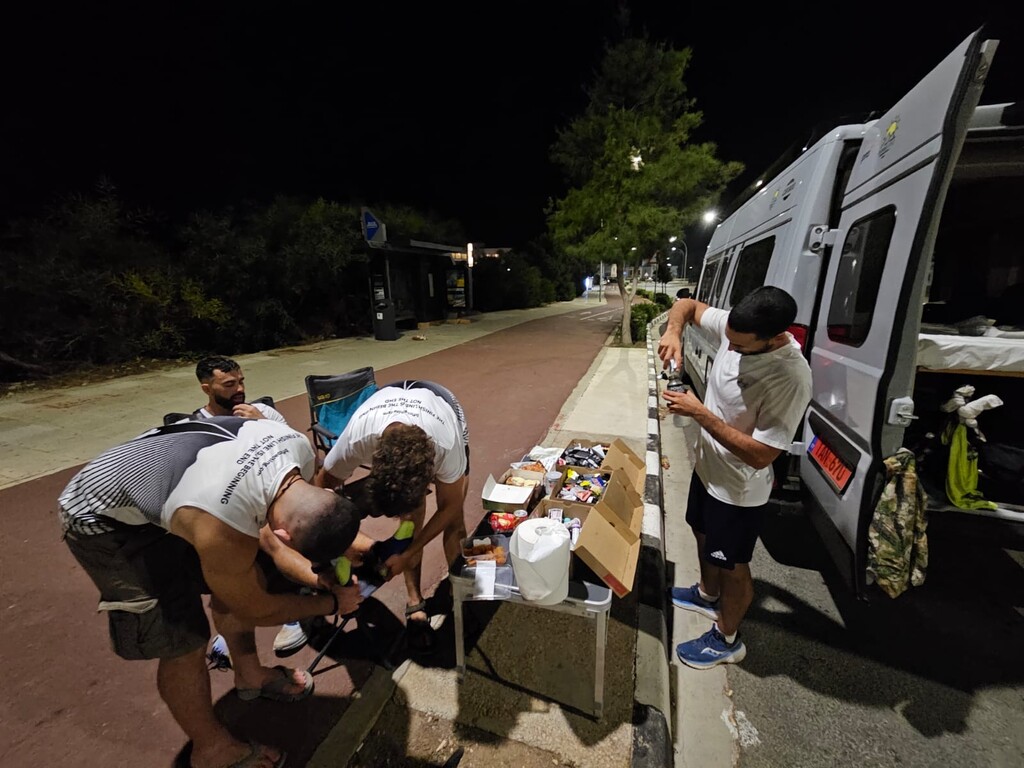
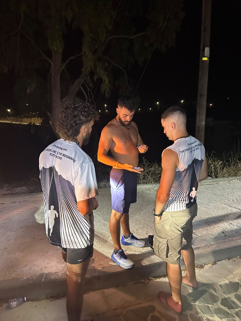
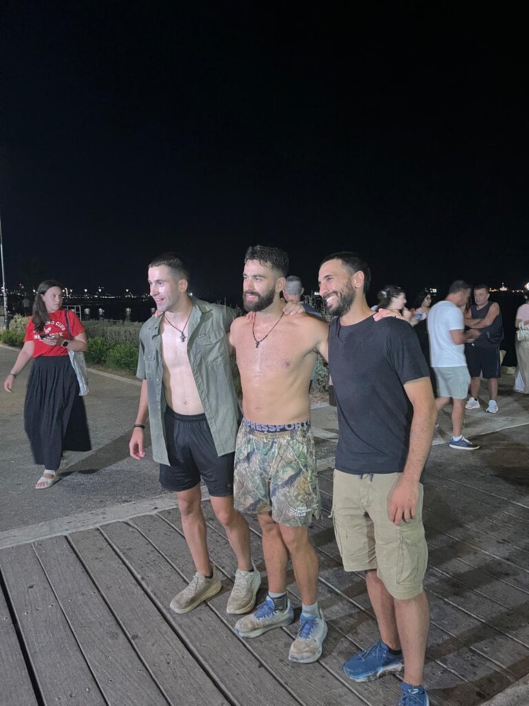
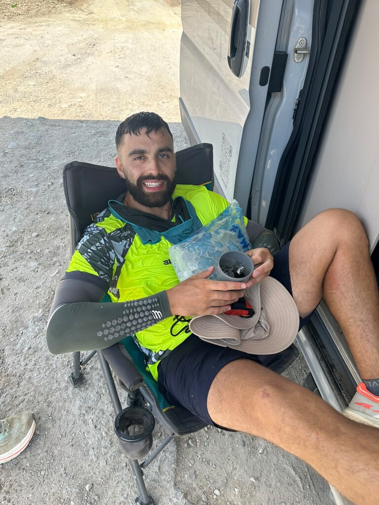
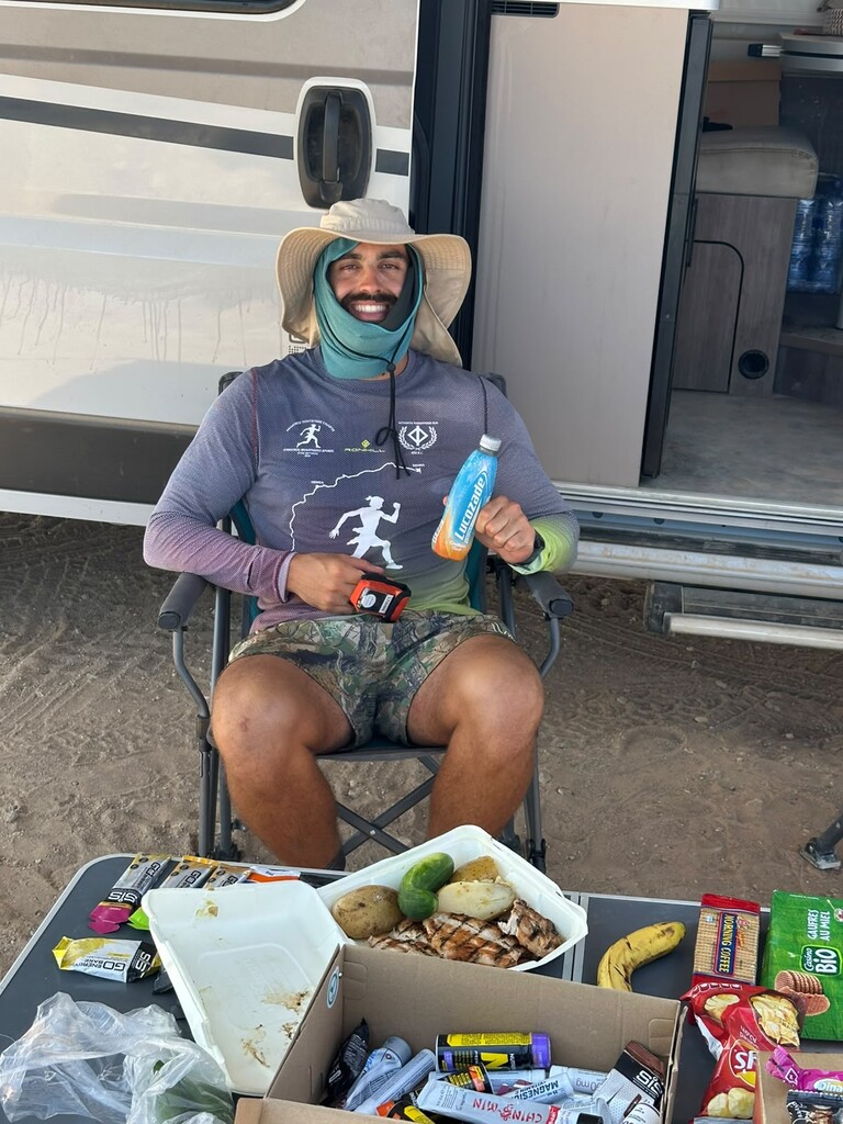
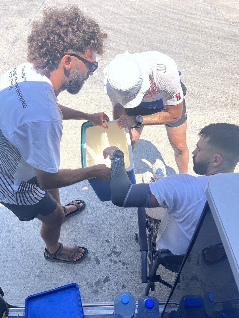
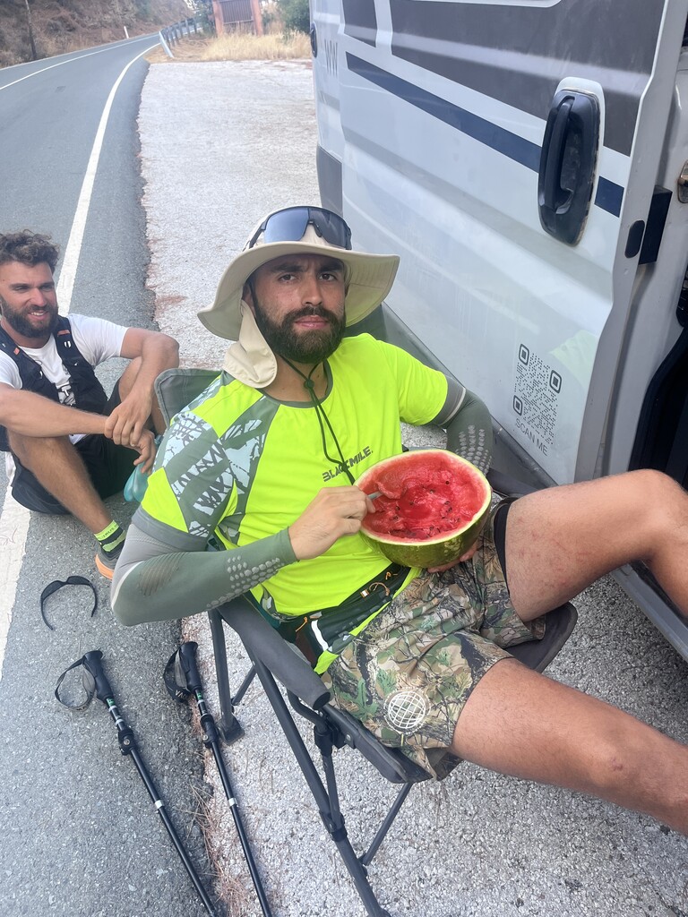
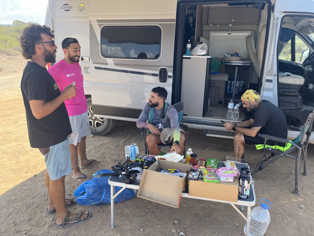
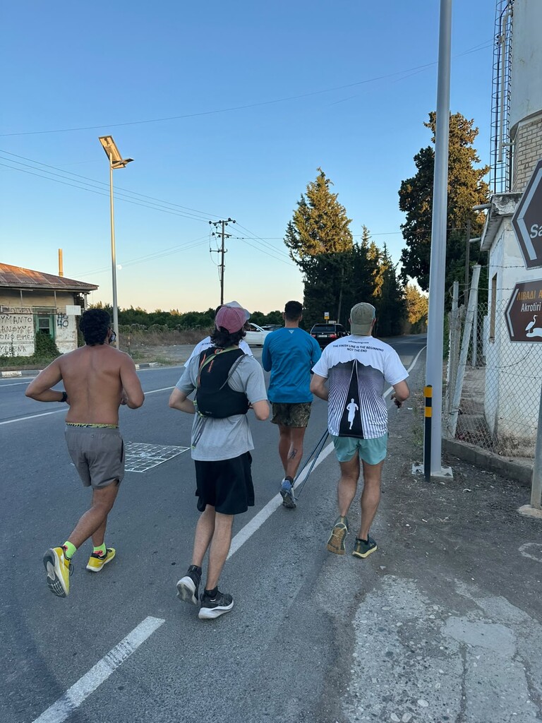
SUPPORT: Crew were Michalis Tziapouras, Emilios Charalambous and myself. We drove the route, met him at intervals, carried and handed over his food and water and cooked for him at stops. He also bought from shops, cafes and petrol stations as he went through towns, and refilled water at village taps and public fountains. He slept partly in the vehicle and partly in accommodation we booked along the way. Crew ran some sections with him, and a group of local runners came out to join him for the last 5-10 km into Limassol.
DATA: Recorded throughout on a Garmin fenix 7 Pro. It arrives as three files rather than one, and the reason is simply how far gone he was by the end in terms of fatigue. On the final morning, seven days in, he accidentally saved and closed the activity on the watch — and then did it again a little over an hour later. Neither was deliberate; by that point he was too tired to be trusted with a button. The watch was off for 42 minutes 21 seconds the first time and 2 hours 10 minutes 23 seconds the second. He was stopped for both: he restarted 39 m and 109 m from where the recording had saved, so under 150 m of the run is unaccounted for and none of it is in the 701.94 km. The clock I am claiming ignores both gaps and runs from first step to last. The three recordings themselves total 7 days 19 hours 42 minutes 41 seconds. He ran without a heart rate strap on purpose, to save battery.
THE UPLOADED TRACK: The watch's own odometer reads 701.94 km, and that is the distance I am claiming. What I have uploaded is the recorded track thinned to one point every 13 m. At full resolution it is 50 MB, and more importantly it measures wrong: he was stationary for 47 of the 190 hours, and a once-per-second recording turns that into 47 hours of GPS drift that any tool adds up as distance, which is how the full files reach 797 km. The 13 m spacing is calibrated rather than picked: it is the value at which the track measures 701.29 km, as close as it gets to what the watch recorded while staying under it. No position has been moved, and the start, the finish and every break in the recording are exactly as recorded. Plotaroute.com measures the uploaded track at 691.599 km. That is about 1.3% below both my figure and its own file, and as far as I can tell it is the simplification the map applies before measuring — reducing our track with a 13.4 m Douglas-Peucker tolerance reproduces 691.599 km almost exactly. I could have made the number come out at 702 by uploading a denser track, but a denser track sums to 730 km on its own and would overstate what he ran, so I have sent the honest one instead. The full-resolution originals are yours on request and will settle it either way.
I probably made this more complicated than needed but I am all for transparency when it comes to FKTs due to the nature of my job. Happy to send anything else you need, including the raw files, or the longer written analysis I put together on the run for myself.
Best regards,
Stefan Stankovic
Beyond the Finish Line Endurance Coaching
external@bflcoaching.com
REGIONAL EDITOR'S NOTE
From the provided GPX file:
Start 19/Jul/2026 23:07
End 27/Jul/2026 21:42
Total elapsed time 7d22d35m25s