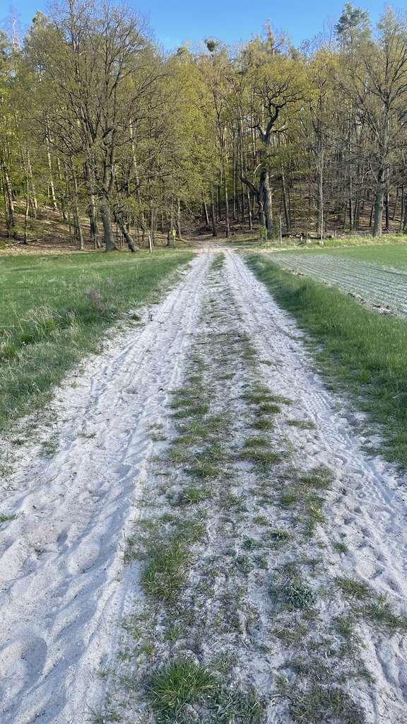
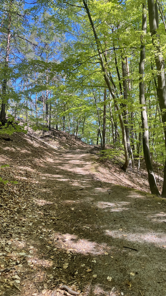
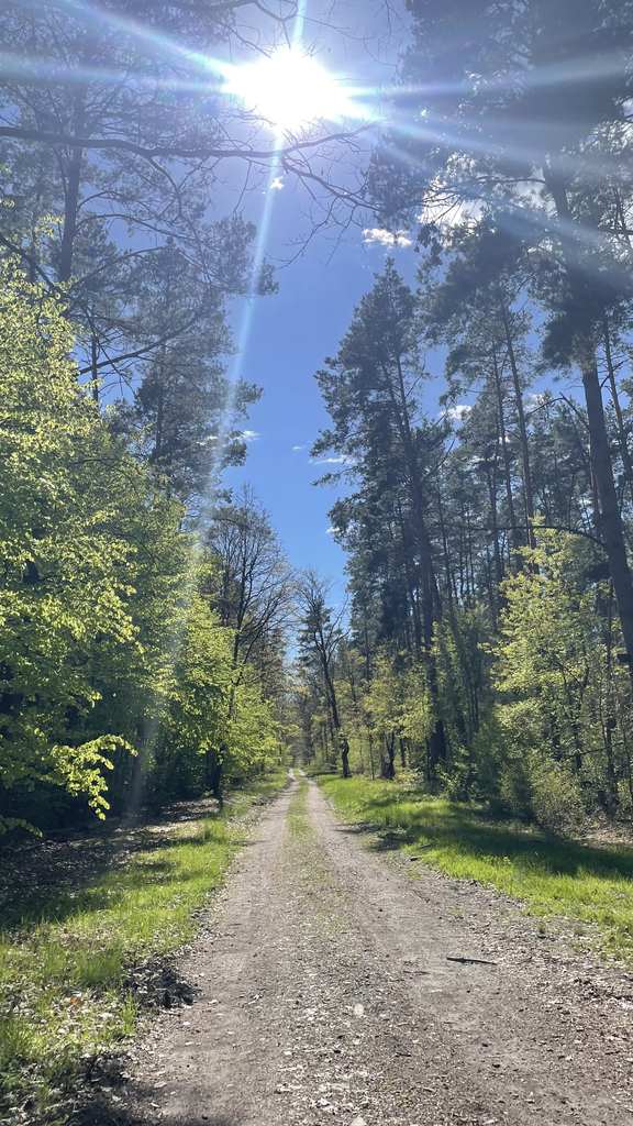
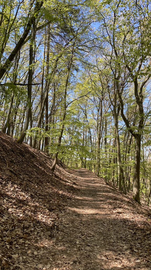
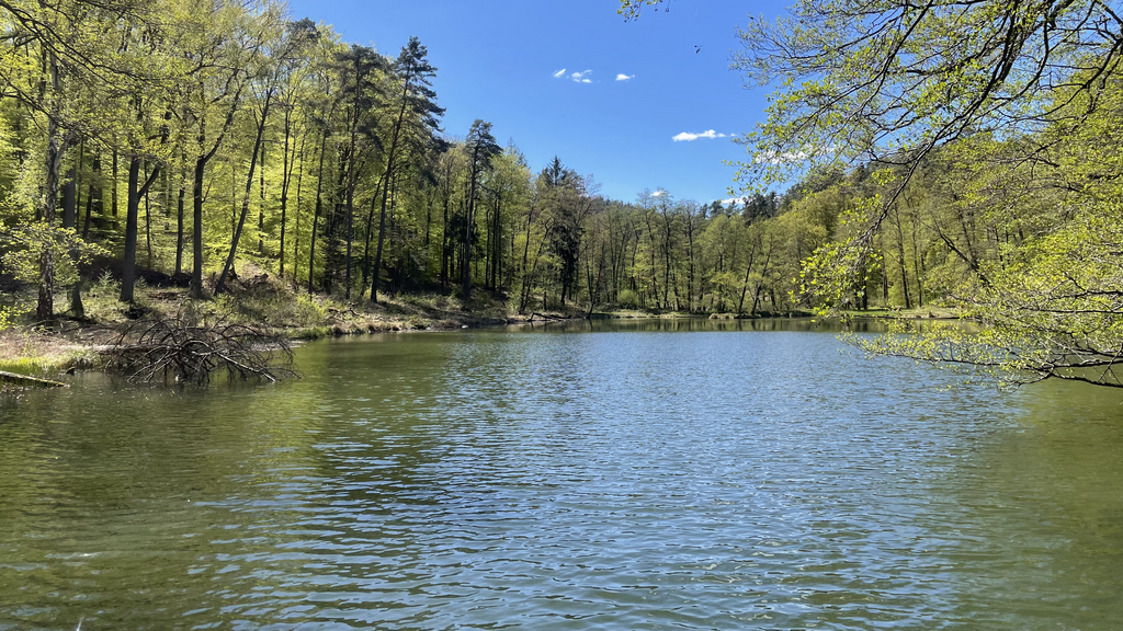

Route: Beautiful loop through a moraine landscape typical for the area north of Berlin. The whole course is very well marked (red circle on a white square). Mostly runnable trails despite some stairs. Some old cobblestone roads in the middle of the woods, a few very sandy sections and an especially nice ridge trail between Bad Freienwalde and Falkenberg, but also a couple km of dead-straight forestry roads and a longer paved road section midway (connecting Wollenberg and Wölsickendorf). Strangely enough, there is also a ski jump (very uncommon for this area of Germany) which seems to be still in use. Beware of the dogs in the villages, they can be quite aggressive behind their fences leading to the occasional scare jump in my case.
Supplies: There are no public water sources or grocery stores along the route. You might be able to refill during opening hours at:
- Haus der Naturfreunde in Bad Freienwalde
- restaurant Carlsburg near Falkenberg
- Café Sonnenburg
all of which are located directly at the route. I didn’t check the cemeteries (there are two or three in the villages directly along the route), which might or might not have a tap with drinking water. Since I didn’t want to rely on these options, I carried 3l of water which was sufficient for me due to the cooler temps, carbs (gel) and salt caps as well as a power bank and first aid kit - my pack amounted to somewhat over 5kg.
Attempt conditions and approach: The conditions at my attempt were ideal with dry weather in the last weeks (no mud) and moderate temps which made it possible to travel with no excessive amounts of water. I started from the train station Altranft which I think is an ideal starting point because it is located directly on the course (no boring transfer sections like in Wriezen or other stations near the course). There is also some shrub directly next to the route/station where I was able to conveniently hide a bag with a hoodie and water for the train ride back ;) From the station, I ran the course counter-clockwise, which is that I definitely would do again, since that way you can cover most of the steeper ups and downs during the first third of the course (leaving me with shredded legs half-way through, but, oh well).