
I have been intrigued by the Hundred Mile Wilderness since before I started trail running. The idea of heading into the woods on trail, crossing only a few dirt roads, and seeing no real signs of civilization for 100 miles has both attracted and intimidated me. I decided that rather than signing up for any big races this season, this would be my primary objective for the year. I wanted to become more familiar, but also wanted to experience some of the trail for the first time on my thru-run attempt. To help plan my training, I somewhat arbitrarily picked August 14th as a start date about 6 months prior and booked a campsite at Abol Bridge, figuring that I could adjust as needed for weather and other circumstances, but that date just so happened to be ideal on all fronts, especially the weather.
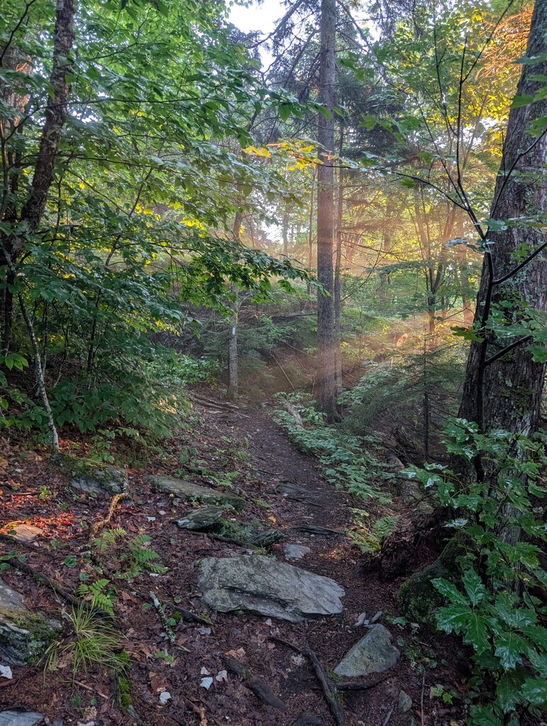
I stayed in Monson at Shaw’s (HIGHLY recommended, amazing place!) the night before, and woke up shortly before 05:00 well rested. My friend, Todd, who was hugely helpful with point-to-point logistics, drove me up to the trailhead and I set out shortly after 05:30. The initial miles clicked by smoothly in the cool morning air. I was surprised by how low the water was, and was able to rock hop over streams that several months ago had been waist deep. I stopped to refill water at Long Pond Stream before heading up Barren Ledges and into the Chairbacks. These first couple of bigger climbs went well, and I enjoyed the views on the crystal clear day. The descent down to KI Works Rd was great, and I stopped again to filter and eat at the Pleasant River crossing, which was amazingly the only one which required getting my feet wet.
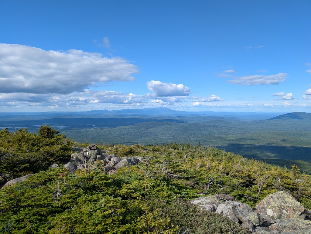
I started to feel a bit warm on the ascent up Gulf Hagas, but was able to manage and enjoyed the trail the remainder of the way up to White Cap. I stopped and enjoyed the view on the summit, and after turning the corner and beginning my descent, the view out to Katahdin brought tears to my eyes. I can only imagine the impact it must have for those that came all the way up from Springer. This was a high point (literal and figurative), and I was also glad to be more than halfway through with total climbing. I filled water again at Logan Brook, and immensely enjoyed the downhill miles. I made good time down to, then over, Little Boardman, which was the point I had been expecting to put a headlamp on based on my estimated splits, but still had a bit of light left. A few miles below the summit, I caught a toe and took a hard fall. My left quad hit a rock fairly hard, and I was a bit scraped up, but after walking it off for a minute, was able to resume running, though my quad would continue to bother me. I marveled at the massive glacial erratics and blankets of moss in the evening light.
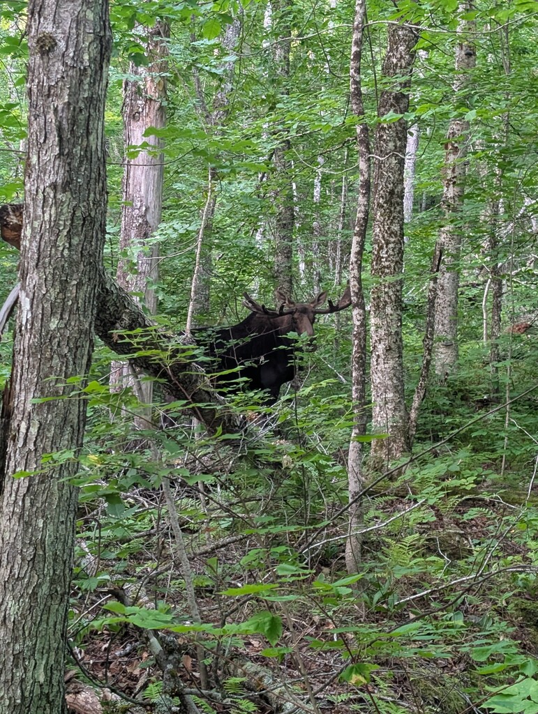
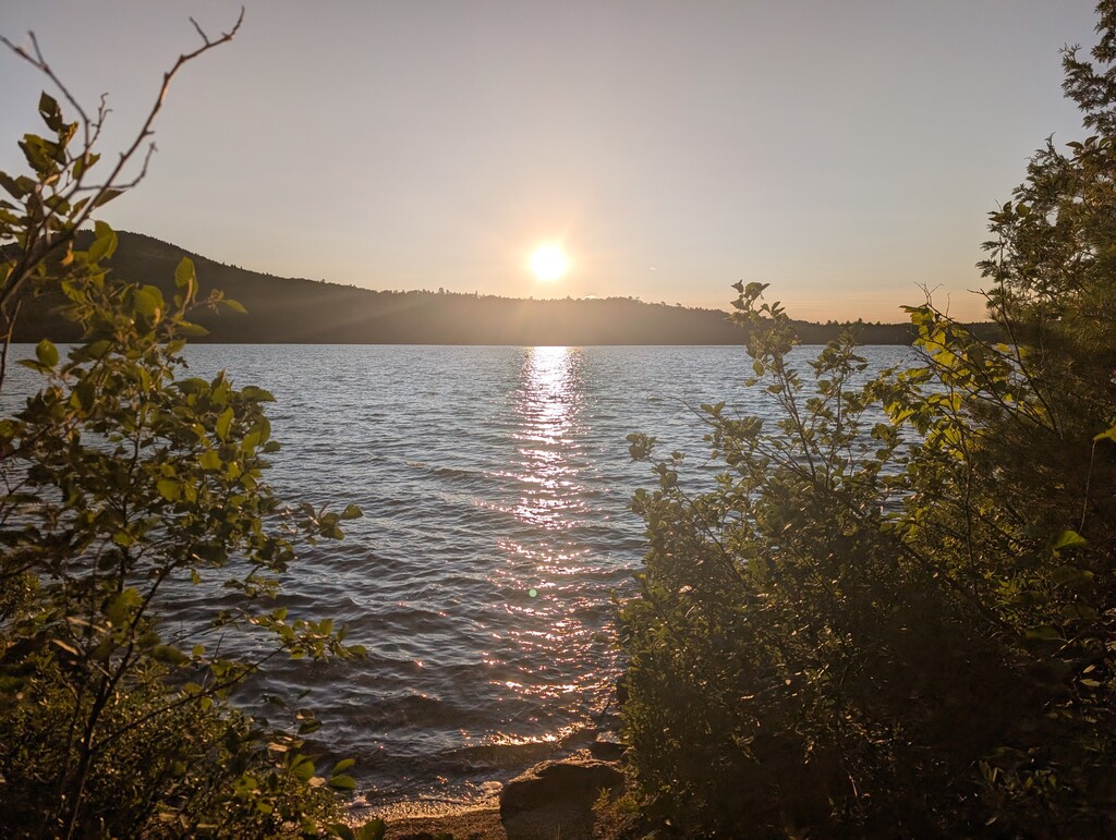
I stopped to don my headlamp a few miles before Jo Mary Rd, and was moving slower through this section, which Finn had accurately likened to Garfield Ridge in the Whites. I briefly stopped into the “Fort Relief” privy at Antlers, but shared the romantic two-seater only with about a half dozen wolf spiders. There were some late night Loon songs sung from Nahmakanta as the trail hugs the shore, and I stopped a couple of times to flick off my headlamp and enjoy the night sky. I typically don’t listen to music while on trail, but had brought earbuds to help get through the 01:00-04:00 section, and got a slight boost for some of those miles, though I was certainly slowing down despite the relative flatness. The Nesuntabunt climb actually went by quicker than expected, but I had continued to feel a bit more nauseous by that point. About a mile after descending, I decided to try a caffeinated Maurten gel, which usually is quite agreeable, but in this case caused me to immediately empty my stomach. Though I was “only” about 18 miles from the finish, I knew that at the pace I was going, it’d be quite a few rough hours; the best way out is always through. I was at least able to keep water down, but didn’t try any other calories from that point. Both quads, particularly my left from the earlier fall, felt quite smoked. I greatly appreciated the sunrise over Rainbow Lake, which did lift my spirits a bit, as did encountering the largest moose that I’ve seen. Topping out on Rainbow Ledges, I knew that it was mostly downhill, and tried to shuffle through as best I could. I managed to muster up more of a jog for the last mile, and once I hit the road and saw the bridge and my friends, Todd and Joe, on the other side, picked up the pace for the short final stretch. Looking up at Katahdin again from the bridge after the prior view from White Cap was an incredibly rewarding sight. A chair and cold Coke were ready for me, both of which I was incredibly grateful for.
One of the things that was particularly special about this route was just how truly wild and remote it felt, from start to finish. Despite hearing from the folks at Shaw’s that the AT NoBo bubble had arrived, I encountered very few others. None of the viewpoints have real visible signs of civilization. I’m certainly planning to return at a slower pace to further enjoy and appreciate the trails, streams, lakes, and history that make this a special place.
Gear: I had planned to use my Salomon Adv Skin 12 vest and Naked belt, but the back pocket of the vest tore the weekend prior to the run. I stitched it up, but questioned whether I could trust it to get jammed full again. I checked what was in stock locally at White Mountain Ski Co, and saw that the Ultraspire Traverse was in stock. The first couple of reviews that I found were from Kristian Morgan on the AT and Finn on his HMW FKT, with plenty of other positive notes. It was unfortunate timing to change without a chance to test, but performed great and carried everything comfortably. Having a couple of 800 mL soft flasks up front worked wonderfully and helped to cut down on the number of water stops. Petzl Swift headlamp. Hoka Mafate 5, Icebreaker merino top, Brooks RTW shorts, Injini socks, RTW hat. No poles; likely helpful on this, but I’ve never made the effort to get used to running with them.
Nutrition: Gels (~3000 cal- Precision, Enervit, Victus, Maurten), snack food (~1500 cal- corn chips, dried mango, fig newtons), candy (~1000 cal- Snickers, Kit Kat, oreos), bars (~1500 cal, only ate 2 and should have known better from prior efforts), salt sticks.
Hydration: Tube of precision 1000 tablets (500 mg/ea), roughly every other bottle. Though streams and water sources were low, my flasks never “ran dry” and I never needed to resort to puddles or standing water. I had a spreadsheet of water sources (as well as Far Out), but never needed to reference it.
Logistics Note for any other runners wanting to explore the trails: The fine folks at Shaw’s Hostel in Monson make logistics for training runs on this route easy with flexible shuttle arrangements, even as far as Abol Bridge. The Abol Bridge campground was a perfect spot to stay after finishing, with warm showers and some sites on the river with mountain views. I’d highly encourage any trail runners to come explore the area, even if just in sections. I think there is still time to shave and would be glad to provide my spreadsheets and any other resources to any others looking to go fast or just check things out. Many thanks as well to Finn for the content and resources he’s put together, and for the many other FKT reports by others that provide valuable insight.