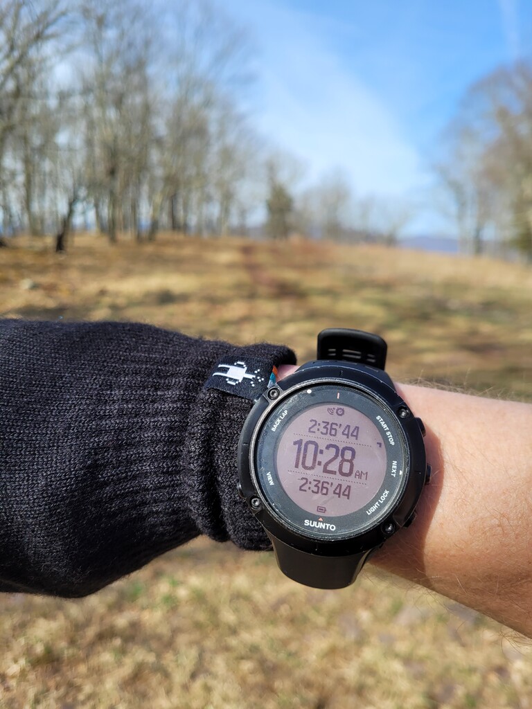
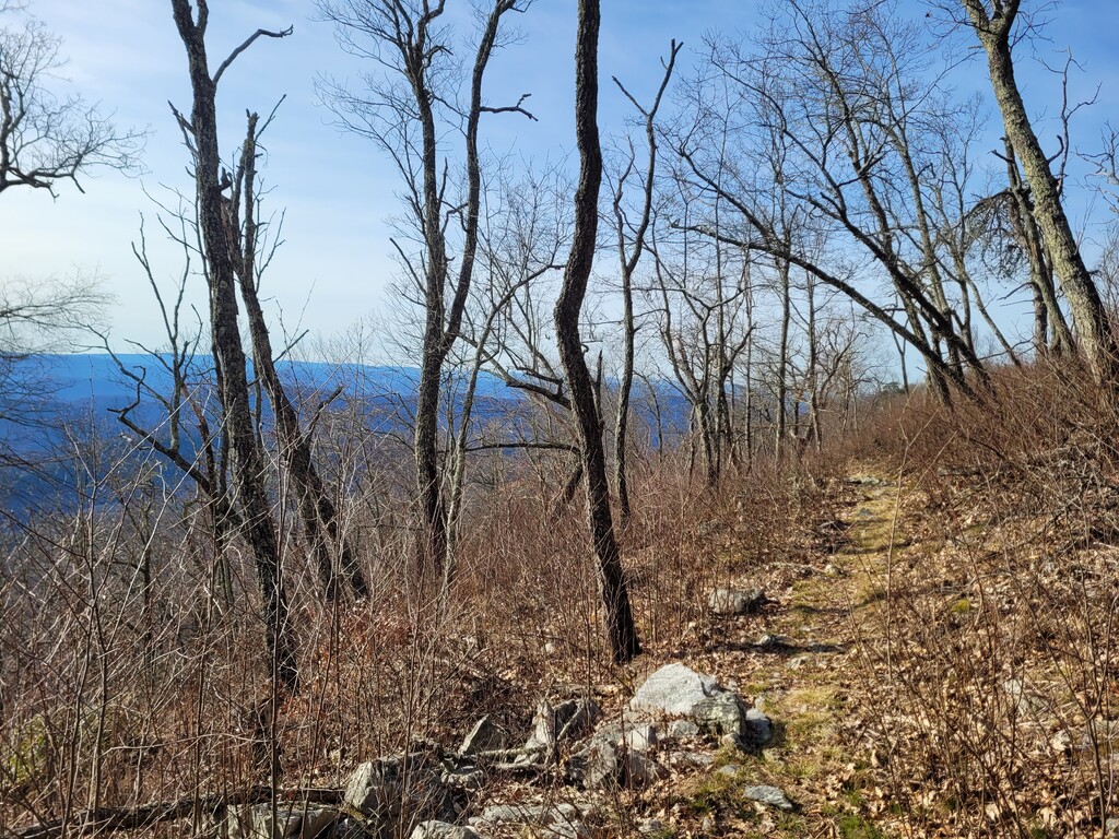
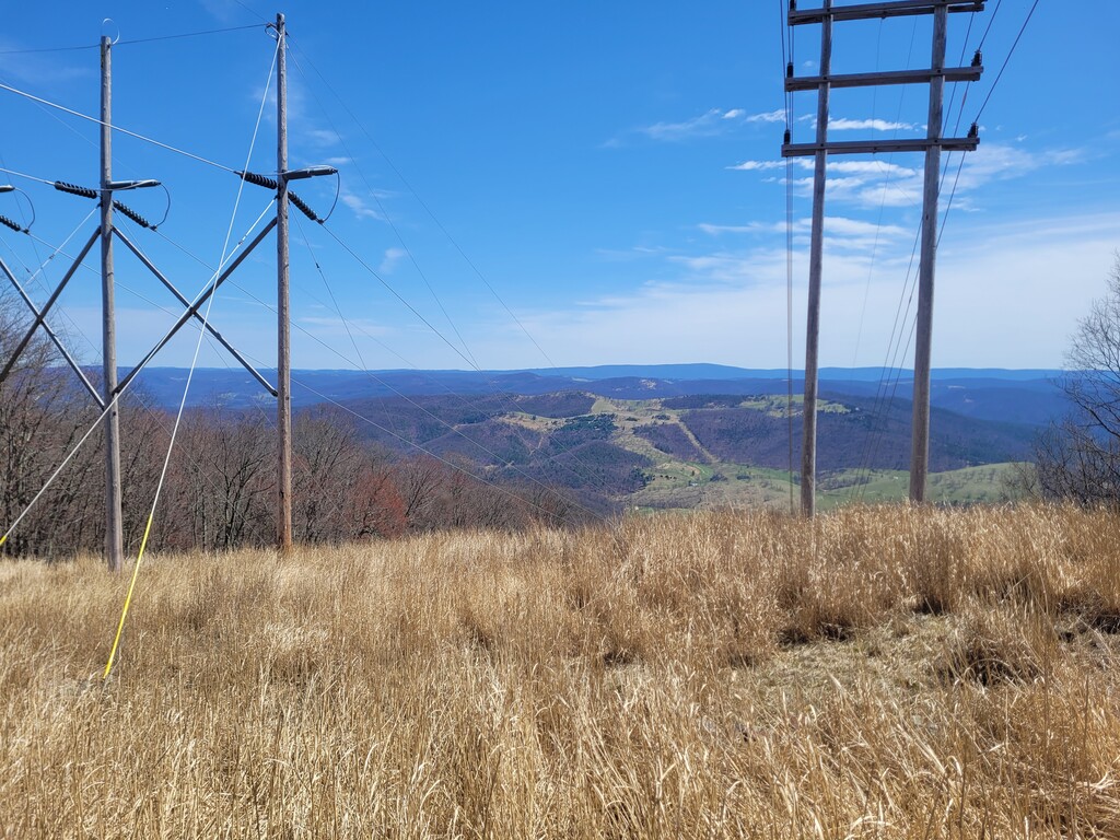
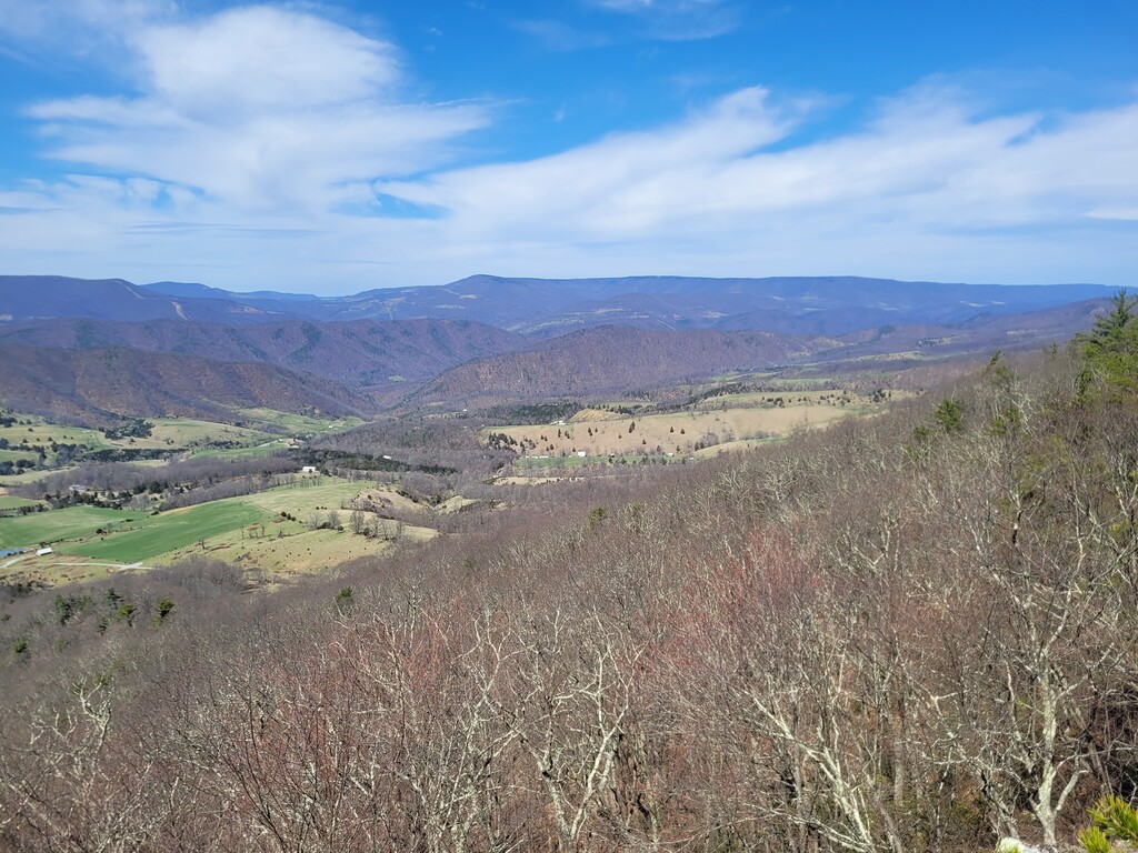
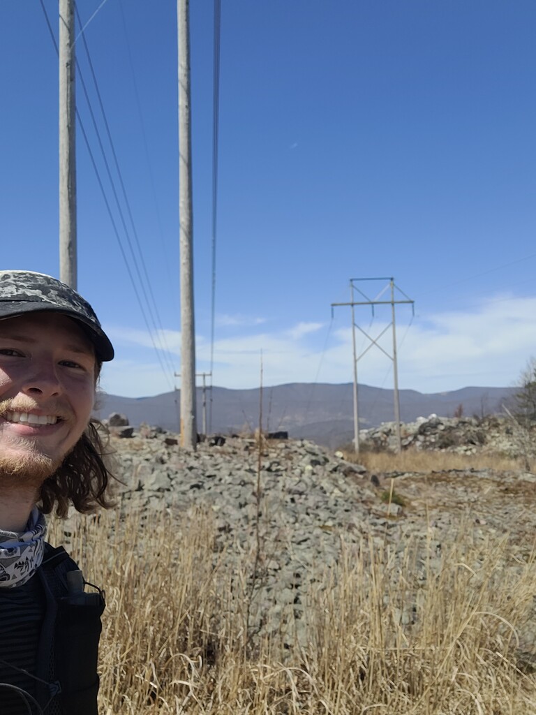
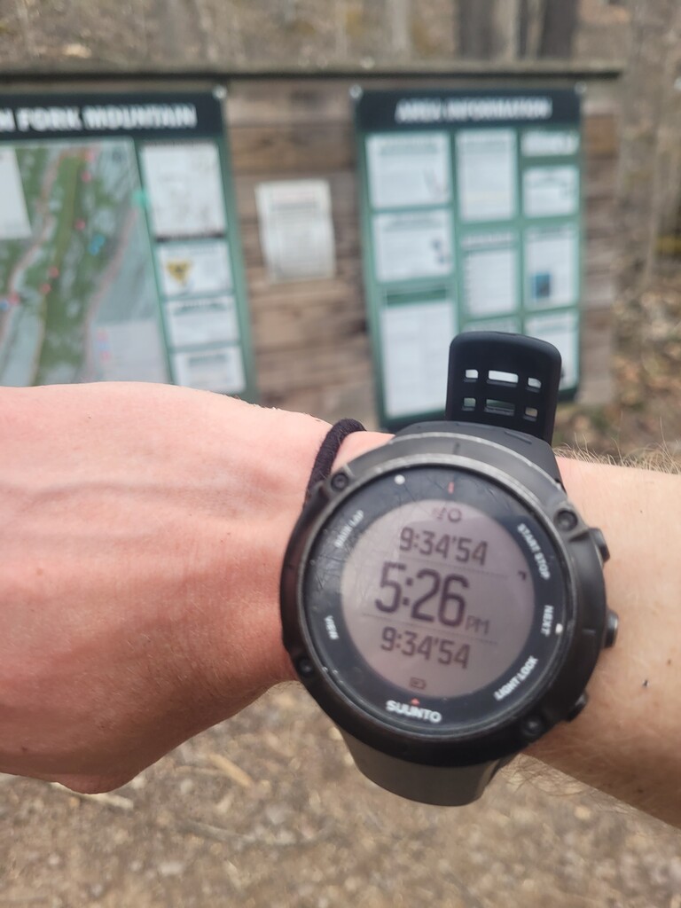
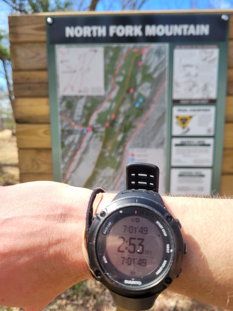

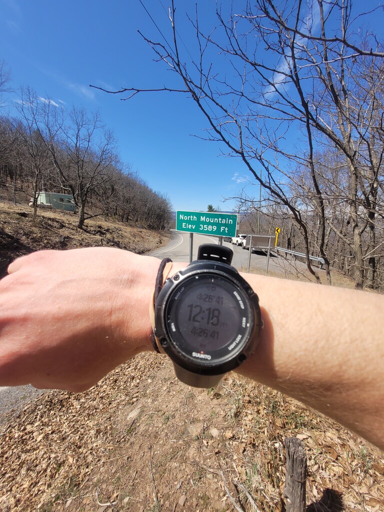
Started at the Northern terminus at 7:51am. Placed water caches at rt33 (turnarount pt.) and somewhere around halfway point of the ridge (hiked up from Seneca rocks the prior day). Intended on doing this on Saturday, but wind gusts were high and dangerous, so decided to postpone to Monday. Weather was decent at the start, but warmed up pretty quickly once on the exposed ridge since trees hadn't gotten any leaves yet. Hit rt 33 in roughly 4hrs 27mins feeling pretty good, and figured the downhill back should be done in about 4hrs. Heat caught up to me pretty quickly around mile 30, where the groin and calves were starting to cramp. Having limited water, there wasn't much for me to do other than keep going. By the time I knew I wasn't going sub-9hrs, I definitely had a few points where I sat down and took in the gorgeous views from the outcroppings to the west. This route has potential for a much faster time, but I do recommend to anyone else wanting to take a stab at it, there is NO water out here, so do put out more. Finished at 5:26pm in 9hrs 34mins 54secs.
Comments
Strong work! I am even more curious about this mythical "spring water" that some have reported to find around the middle mark of this trail (I think it's around where the trail leaves the singletrack for the gravel road climb headed southbound but I have never found it.) Good luck at MMT in May!
Spring is piped and reliable, very close to trail.
38.859219° N 79.313796° W