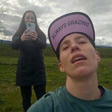
This is my first successfully executed FKT. I did not fully know I was going to attempt this route until the night before, though I have often considered connecting the BV and CZ trails together. What really brought this attempt to fruition was my sister. I was going into my Birthday weekend feeling lonely and aimless. Then, on Friday afternoon, my sister called. The BV-CZ route looked like it can be done solo, but I was trying to noodle out the logistics for the point to point. She offered to spend the day to crew me. I have been pulling myself through a running injury that has reduced my regular social time with friends at run groups. More than anything this weekend I think I needed to feel loved and supported. I can’t thank her enough for the day we spent together.
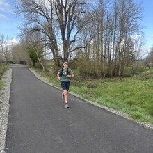
The entire Banks to Vernonia trail segment is paved, so I started the morning in road shoes. The spring weather was copasetic for this attempt - mild, dry, full of bird songs and trail rabbits. I took off at 8AM and was not worried about running out of daylight. The trail has plenty of established restrooms and even occasional trash reciprocals. The grade up into LL Stub Stewart and down out of the park is very tame. Additionally, there are many access points for crew. If you are splitting the route into quarters, then Hill Top is a good midway point along the BV.
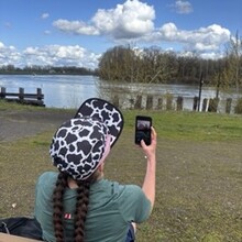
The BV section terminates at Vernonia Lake. Calypso’s Soft Service Ice Cream shop (with public restroom) is a good access point. Note, parking here will cost $5. While waiting for me, my sister enjoyed walking the perimeter trail around the lake (lined with blooming cherry trees and fishermen) as well as the antiquing in town. As this was the halfway point and the transition between the two trails, I switched into trail shoes. Honestly, however, road shoes would have been appropriate for the CZ as well. The gravel is pretty compact and there is still a fair amount of paved sections on the CZ.
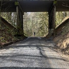
After the jaunt through the streets of Vernonia, the CZ trail has a punchy upward start. This paved segment quickly turns to gravel and heads downward. Though the BV-CZ route overall is relatively flat, this felt like the most aggressive grade. The CZ has more intersections than the BV, but those areas are pretty well marked. However, being fatigued, I found my self consulting the map a few times. An excellent midway access point along the CZ would be the Nehalem Divide. This point also marks the last major climb. The final quarter is almost exclusively downhill until you hit Scappoose. Again, like with the BV, this trail has some established restrooms along the route. It also ends at a wonderful bench where you can sit, watch the river and feel your muscles turn to stone.


