
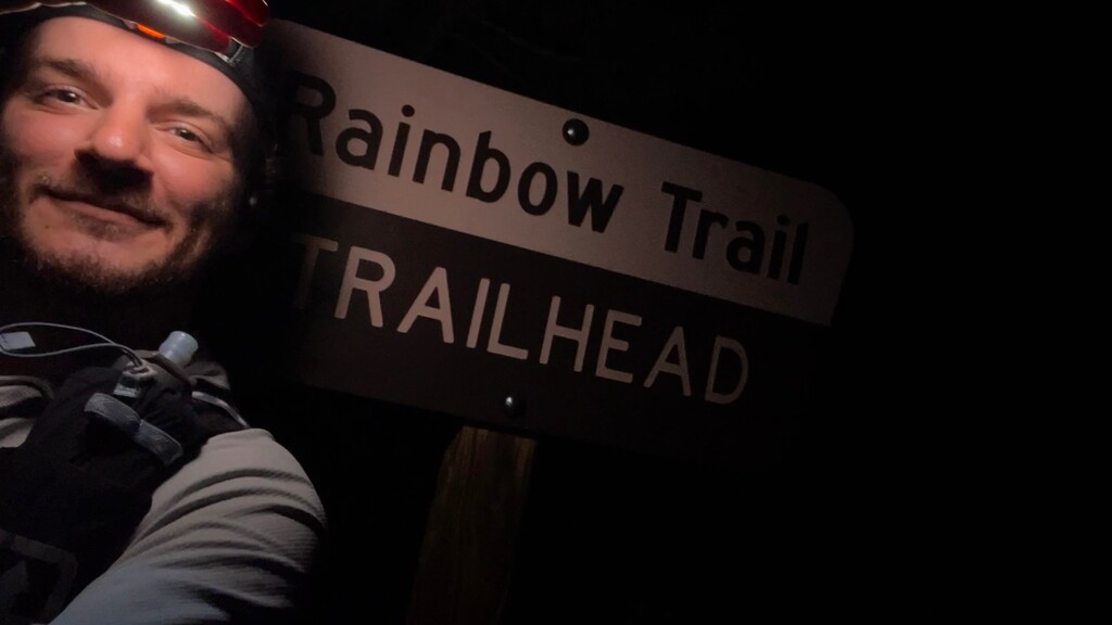
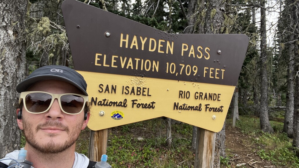
The Northern Sangres Traverse Loop can be split into 3 distinct sections: a cruiser trail marathon down the Rainbow Trail, a brutal slog up Hayden Pass Rd to get onto the ridge, and the main ridge traverse. I started out from the Rainbow Trail Trailhead with 4.5L of water, about 7,000 calories, and a few layers at 10:54pm expecting to hit the top of Hayden Pass right around sunrise to maximize the amount of light hours I would have while traversing the ridge. Other than a few sets of eyes glowing in my headlamp and 8 skunks on the trail, the first set of night ops were pretty uneventful. The main challenge of this ridge is water access. You are up high for so long and the winter was so dry that you are forced to carry all of your water, or drop off the ridge to filter at a lake. I did not want to drop off the ridge so I made a point to drink 1.5L and filled my bladder and every bottle at Hayden Creek before heading up to the ridge for the rest of the day.
The climb up Hayden Pass Rd is about 5 miles and 3000’ of climbing. It’s on a 4x4 road so there isn’t anything technically challenging, but it seems to go on forever. Along the way, I found a HUGE black bearing running at mach 4 down the road - That’ll wake you up! I also found a seemingly infinite supply of wild raspberries just under the pass. I’ll never say no to free carbs. By the top of the pass, I had 28.5 miles and 7500’ of gain on the day (all before the sun came up!). Not a bad way to start the day, but nothing compared to what was to come. I sat at the top of the pass for about 10 minutes to refuel and mix some carb mix.
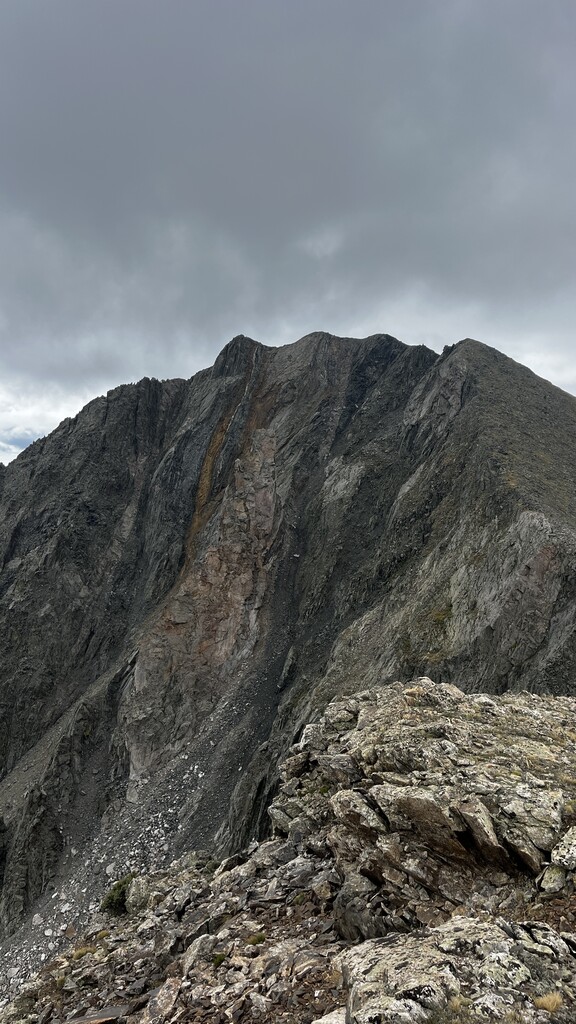
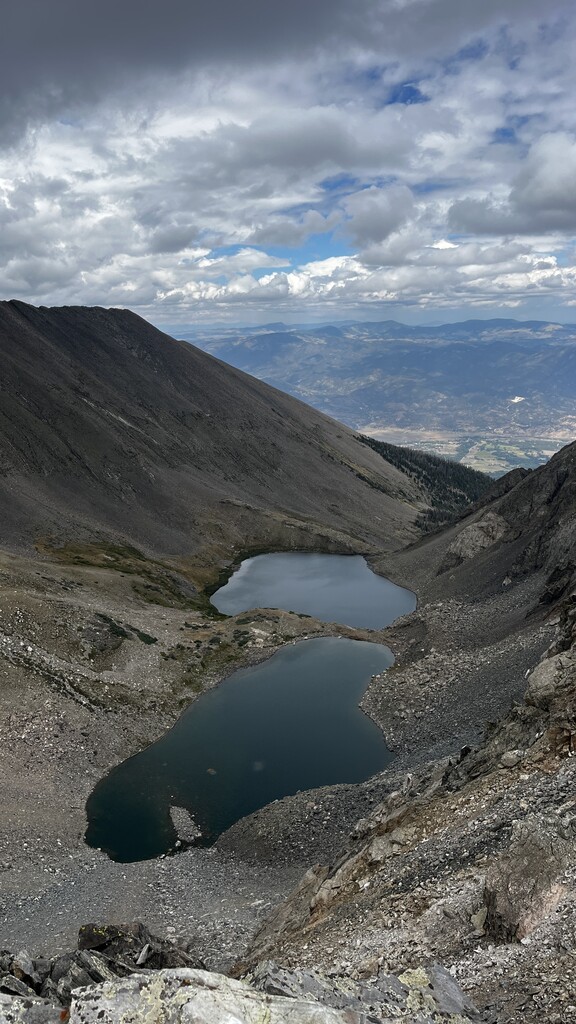
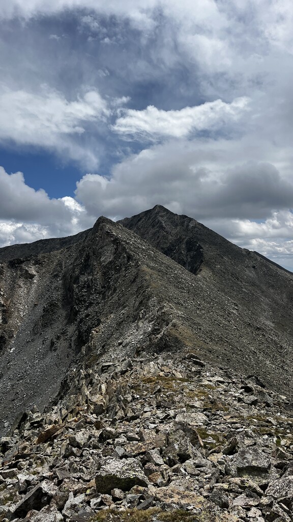
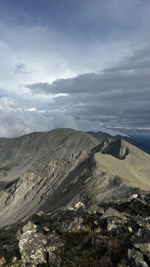
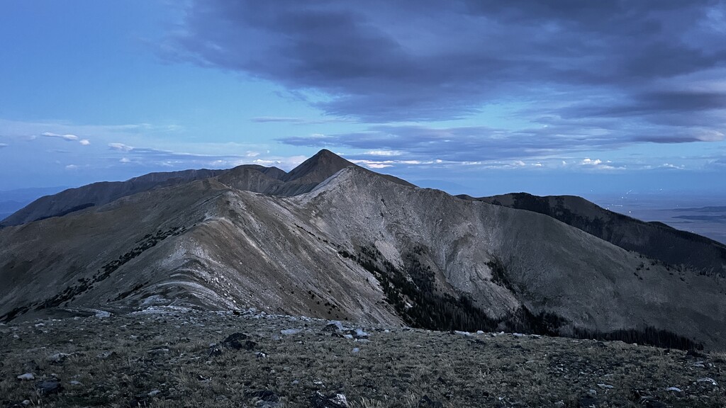
From the summit of Galena Peak, I could see what the day was going to bring. I would be above 12,000’ for the next 18 hours while navigating 17 USGS marked summits and countless unnamed peaks on some pretty serious terrain without even the thought of a trail. A few peaks had short grassy areas, but for the most part, the entire ridge was class 2 boulder hopping with a few class 3+ climbing sections. The daylight hours were amazing. It is surprising how many peaks you can tag in such a short distance on the ridge. It was like riding a roller coaster going up and down peak after peak. Except every time the roller coaster went down, you had to climb another mountain. The day went very smooth and I didn’t see a single other person on the entire route. I did see a bear cub all the way up at 12,200’ on the ridge to Bushnell peak though!
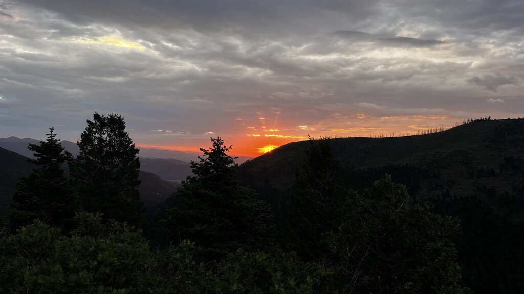
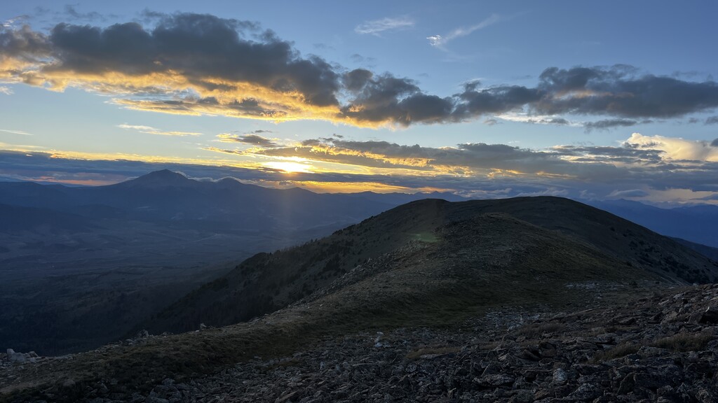
The sun started to set right as I summited Pt 12,401’. It was beautiful to watch it over the peaks to the west. It cast an amazing orange hue over the route I had just spent so much time on. I took some time here to take it all in knowing that I was getting close to being done. With the new moon and sunset, there was absolutely no light other than my headlamp to get up Simmons peak. Simmons in the dark was a challenge because of how loose the blocks you scramble on are. The endless false summits didn’t help spirits either. When I finally got on top of Simmons, I had my first low point of the day. I had not scouted this section and when I got to the summit it seemed to be a vertical drop on every side except where I had come from. I knew I had to work my way northwest to the ridge of the Com. Towers/Methodist Mountain, but there didn’t seem to be a viable way to down climb from the summit in the right direction. I walked around for a long time up there looking for a way down and even considered forgetting the FKT at one point to bivy and figure out the route in the sunlight. I decided that was exhaustion talking and sat to refuel before retrying the descent.
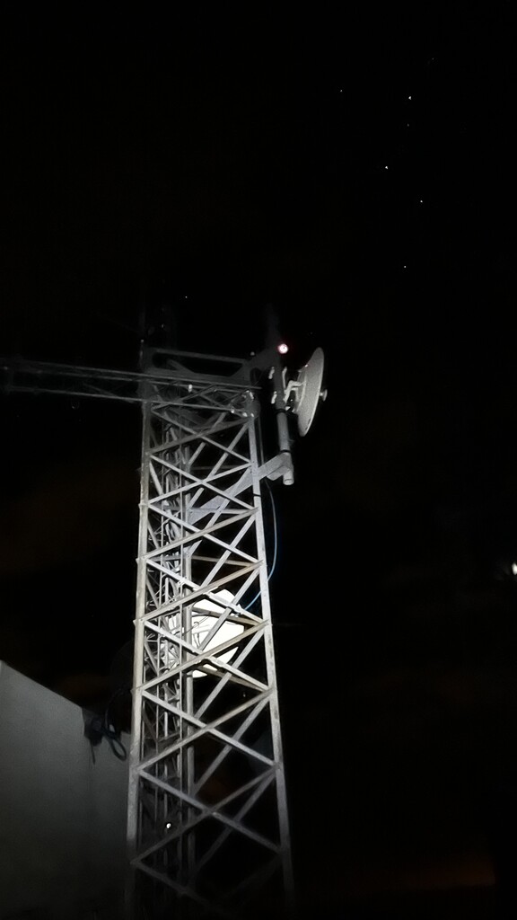
From the Simmons summit, I ended up taking a direct route down the NW face toward the Com. Towers. This went at class 4+ and was pretty uncomfortable, but I simply could not find the route that Justin took on his trip where he said it was class 2. Looking back at his GPX file, it appears that he backtracked quite a bit of the ascent on Simmons to get to easier terrain before dropping down to the ridge to the Com. Towers. The next 3 miles to the Com. Towers are where the wheels really started to fall off for me. The area between Simmons and the Com. Towers experienced extreme blowdown and a wildfire in recent years. There used to be a trail between the two peaks, but it has since been covered by thousands of charred trees and is now experiencing lots of bushy new growth. I didn’t scout this section either (“How hard could be!”) but boy I should have. 3 miles with a couple thousand feet of gain sounds easy on paper, but these 3 miles took me a little over 4 hours. In this section, I started having some extreme hallucinations (been moving alone at altitude for more than 22 hours!). At one point, I found myself talking to a tree that I could’ve sworn was a hiker out doing a similar trip. He even explained to me having similar difficulties that I had had. Through the blow down, I hallucinated two younger children that were guiding me over, under, and around downed trees before completely vanishing about halfway up the ascent to the Com. Towers. After tagging the summit of the Com. Towers and Methodist Mountain, there is about 5 miles of road to descend back to the trailhead. The hallucinations didn’t stop even on this easier terrain as I now was having an out of body experience. I was me, but I was also hallucinating a clone of myself walking down the road beside me. I wanted nothing more than to stop and sleep on Methodist Mountain, but the “other me” kept me moving and motivated towards the end. I seemed to keep collecting “friends” the further down the road I got. By the end of the route, I had an entourage of 5 or 6 hallucinated people with me all bumbling down the road toward the trailhead.
When I got to the end, I took a nap right on the side of the road. I woke up to my dad calling me to congratulate me. A little bit of sleep and some human interaction completely snapped me out of the state I was in and brought me back to earth after explaining to him everything I had been through. I got into my car and decided that I probably shouldn’t drive yet and took another glorious 2 hour nap before heading down into Salida for some real food. If you want to push your limits on a route that stays at altitude for a long time, I cannot recommend this route enough.
Final Stats
29:41
47.5 miles
18,000’ gain
Nutrition
12.5L water
2,000 cal Formula 369
1,500 cal Gu Roctane w/ caffeine
2,000 cal Mike and Ikes
1,400 cal Peanut M&M’s
Galena Peak - 12,461'
Mount Otto - 12,865'
Pt 12,802'
Bushnell Peak - 13,105'
Twin Sister South - 12,730'
Twin Sister North - 13,012'
Pt 12,924'
Red Mountain - 12,994'
Pt 12,705'
Hunts Peak - 13,071'
Pt 12,593'
Pt 12,471'
Pt 12,401'
Simmons Peak - 12,050'
Pt 11,237'
Communications Towers - 11,695'
Methodist Mountain - 11,707'