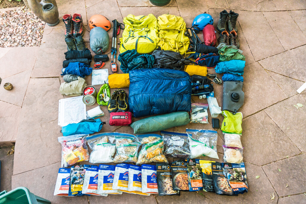
Completing an unsupported fastpack traversing the spine of the Naa Ohn Kara mountains has been a dream of ours for years. I first fell in love with the area peakbagging unnamed peaks as a kid, but now I live in New York so all of the planning had to be done through internet research. This is exceptionally hard with the Naa Ohn Kara because of an online ethic of maintaining the range’s obscurity. We were daunted by the amount of vertical gain over a period of days, but also the logistical challenges of an unsupported attempt. We reckoned it would take us five and a half days to cover the distance. The challenge was to be meticulously efficient in our preparation, but also flexible during the attempt.
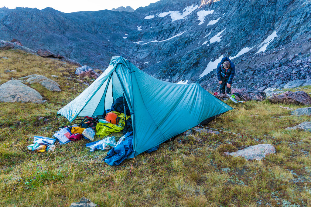
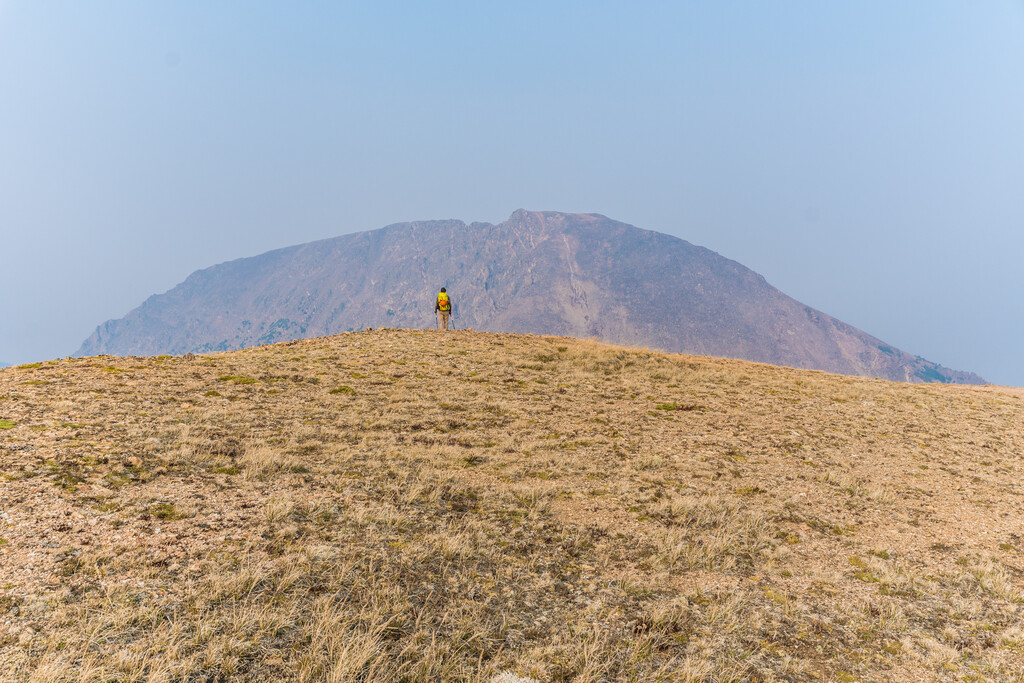
The first puzzle to solve was finding water. Almost the entire ridge is above 12,000 feet so the only opportunity to get water would be when we descended off the ridge to make camp. Depending on where we ended up at the end of a day getting to a good bivy site could mean losing thousands of feet of elevation. I scoured satellite images to try to find small streams high up near the route.
The next obstacle was reading the weather. Afternoon thunderheads over high peaks are almost a guarantee in Colorado. The entirety of the route is extremely exposed. Because I was taking time off work and traveling in from NY we had no flexibility in our attempt window for weather. Our first attempt in 2018 got bogged down when we had to bail off the ridge the first two afternoons and wait out threatening clouds.
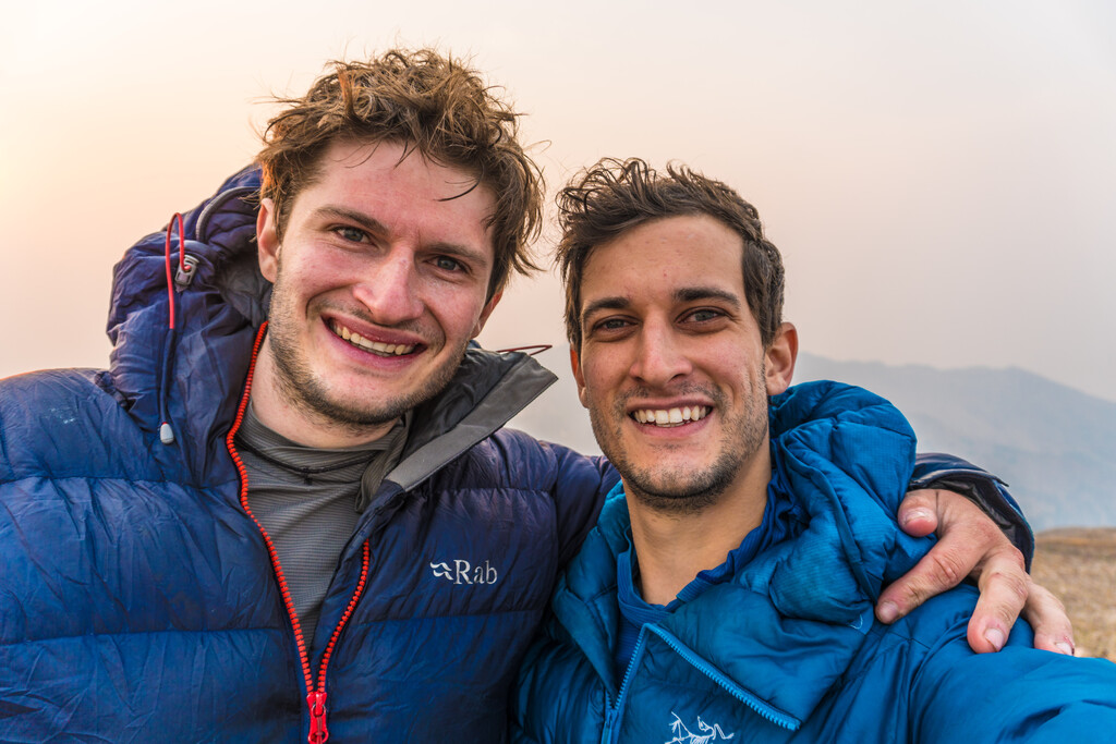
A trip of this scale was intimidating for us, and after years and failed attempts it was hard to maintain optimism about so many unknowns. We knew the technical crux was supposed to lie between Peak C and C Prime but we knew almost nothing about many sections of the ridge to come. In 2018 we finally called it quits after descending a gully to avoid downclimbing a vertical section of the ridge proper to the north of East Partner. The gully cliffed out, and we ended up downclimbing loose vertical terrain anyways. When the gully finally spit us out two thousand feet below the ridge, two days behind where we had planned to be, we gave up. We attempted the “Grand Tour” again in 2019. On the first night marmots at the straps on our hiking poles. On the second day I fell violently ill with a stomach bug. Unfortunately we had been sharing a spoon to save 10 grams of pack weight, so Chris came down with the same bug two days later. We began to feel that we, and the whole idea, were cursed.
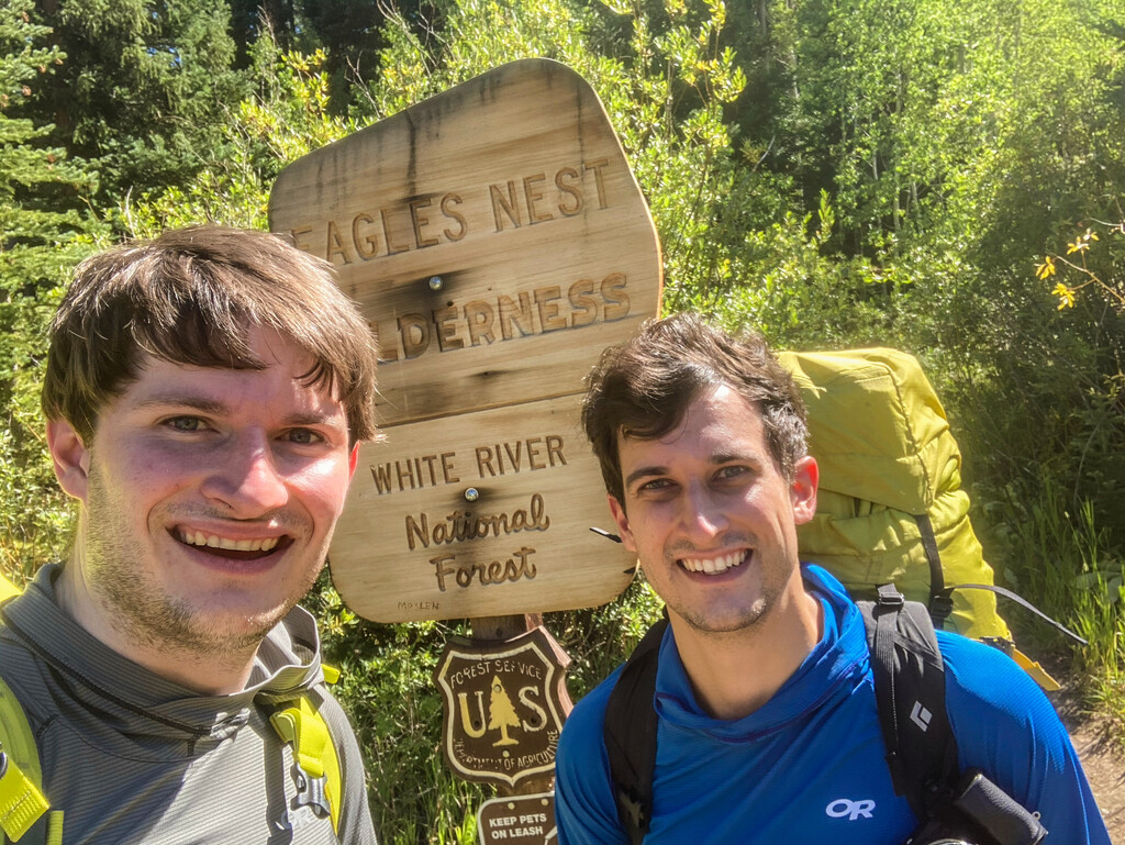
We started our 2020 attempt at the Surprise Lake Trailhead on 9/3 at 3:09pm. While signing in to the register a ranger passed by and asked about our plans. He seemed perplexed by our objective (probably thinking we were mistaken or lost) and left us with the rangerly advice “Keep an eye out for the waterfall!” Above Upper Cataract Lake we encountered less snow than usual in the gully going up to Eagles Nest. A really fun ridge led to the summit at 8:04pm, just after a gorgeous sunset. We camped between Eagles Nest and Mount Powell.
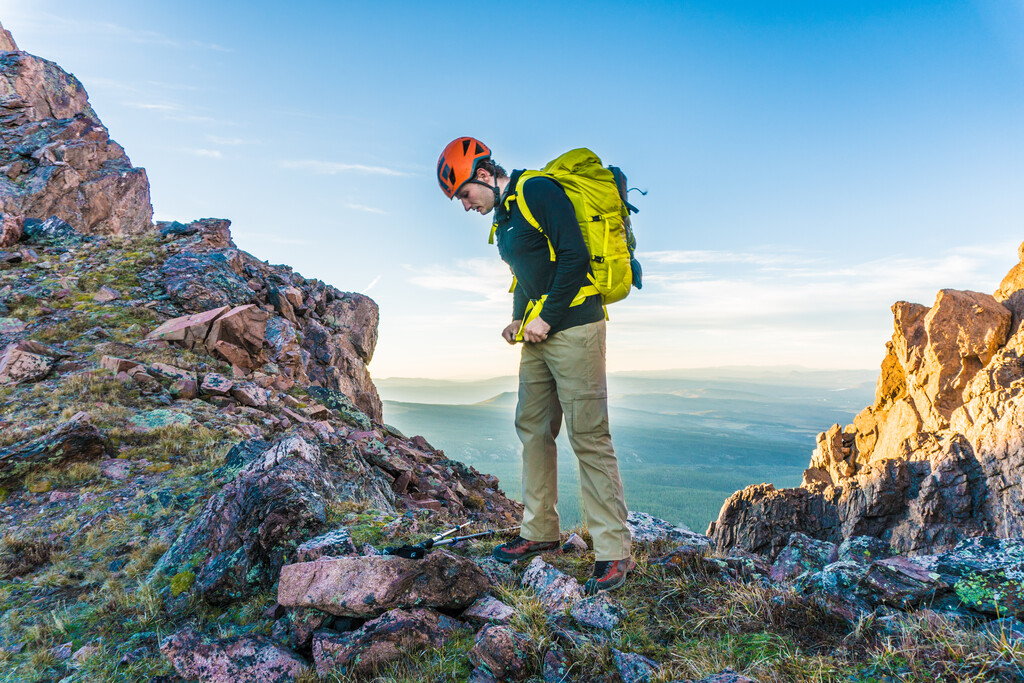
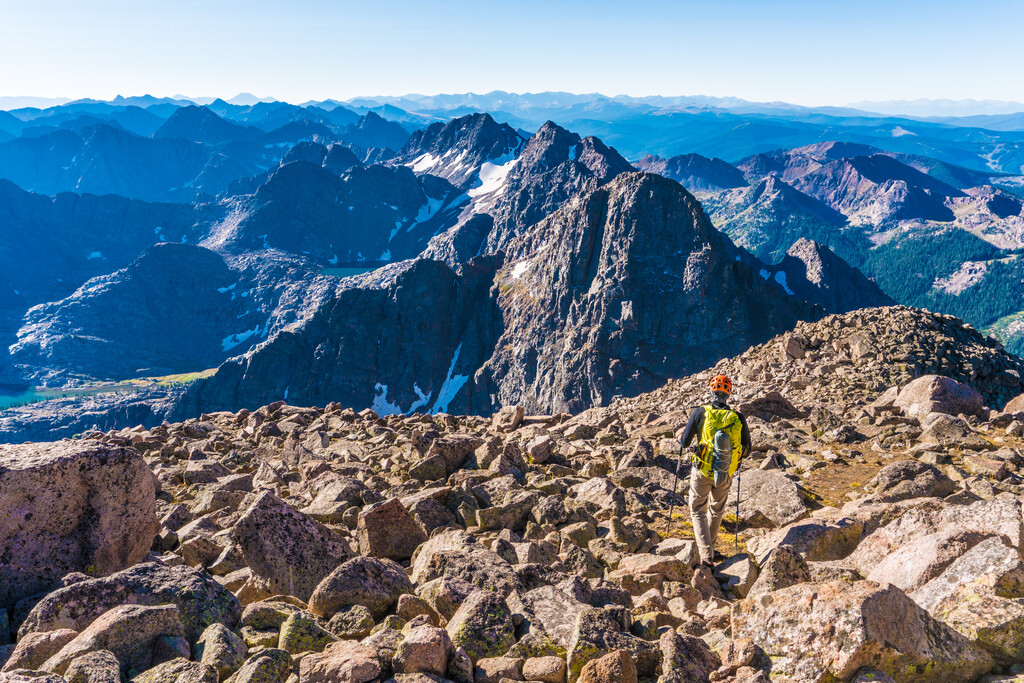
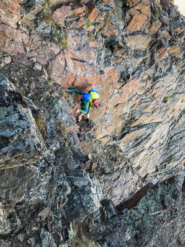
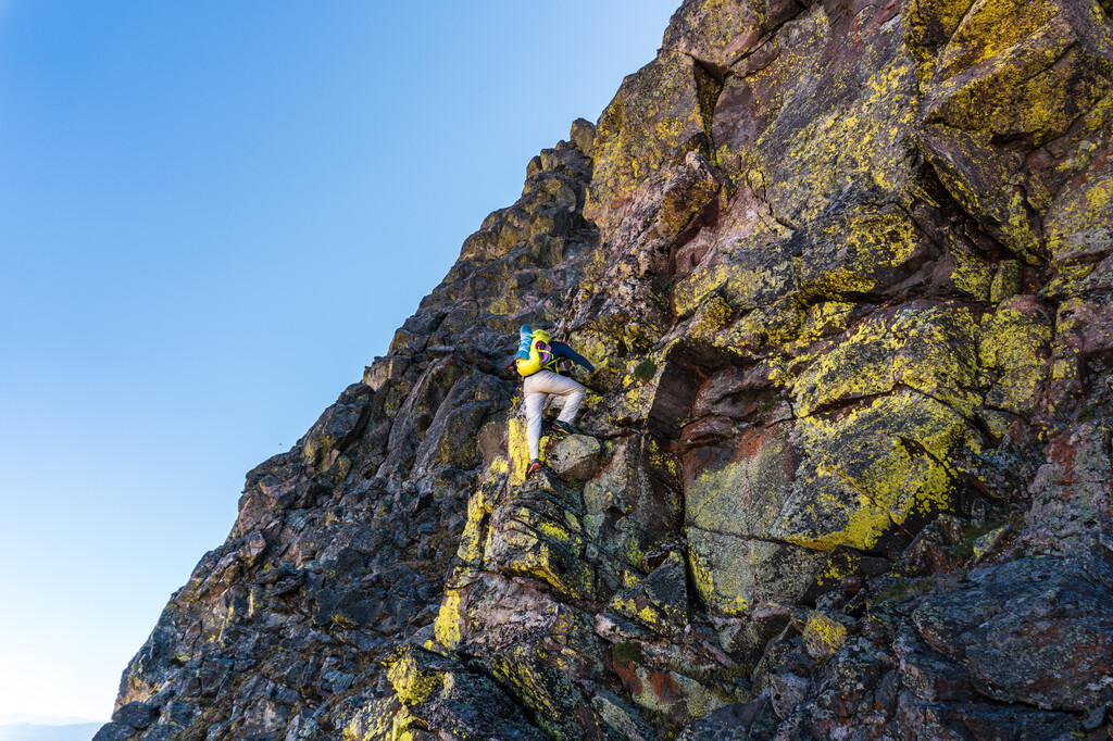
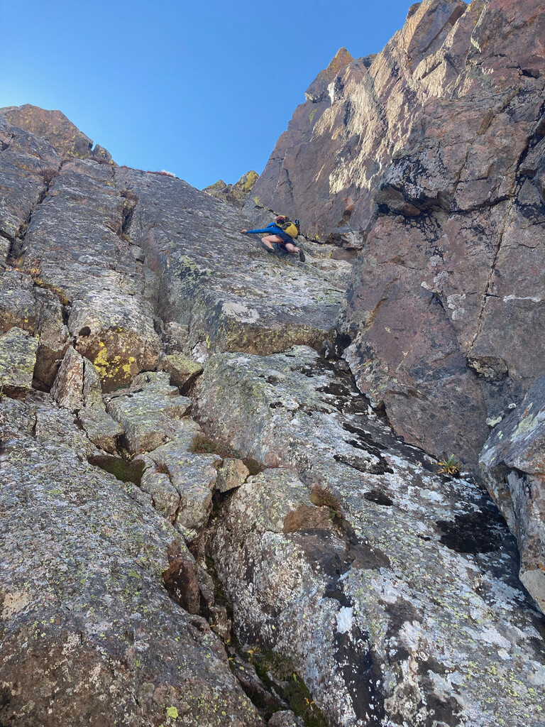
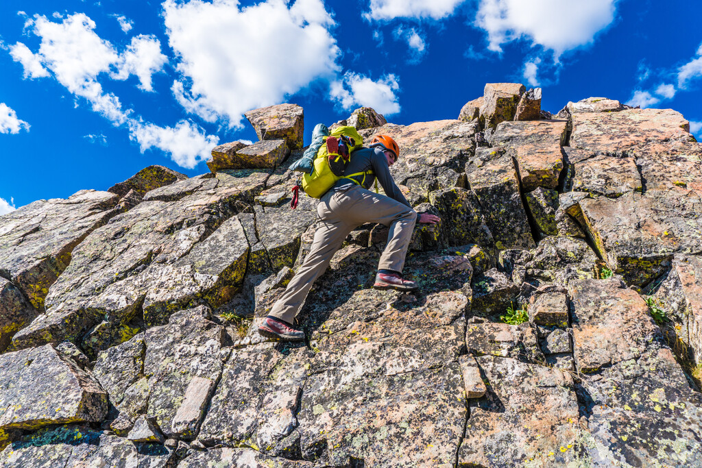
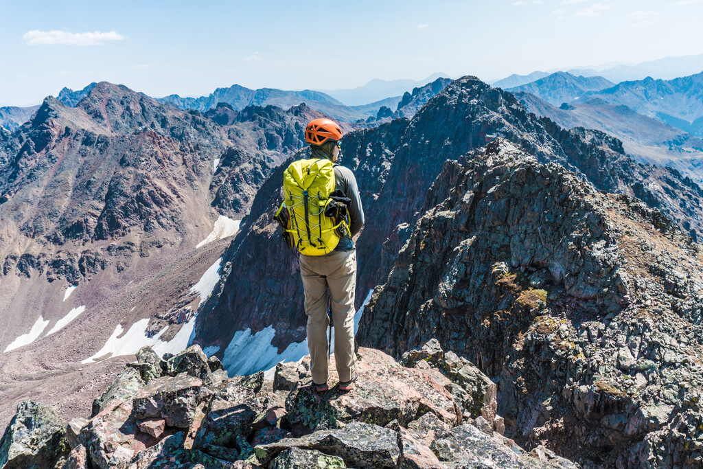
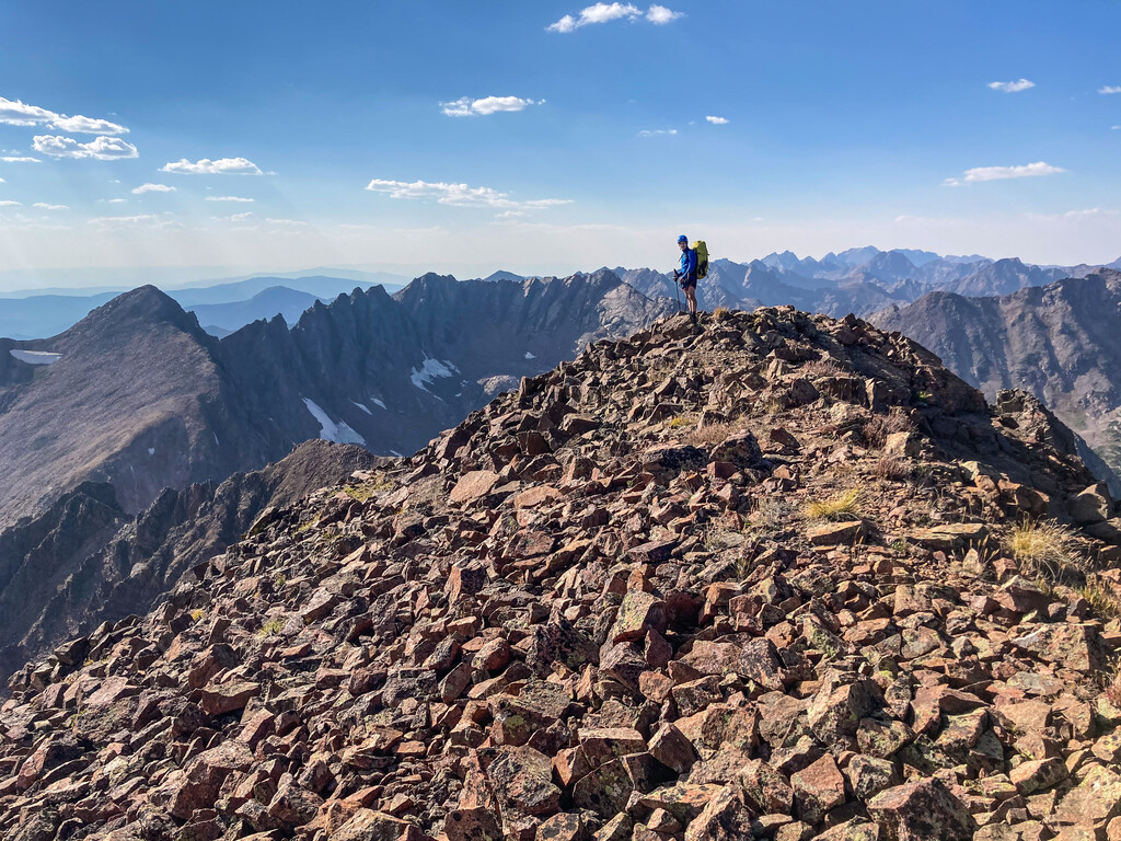
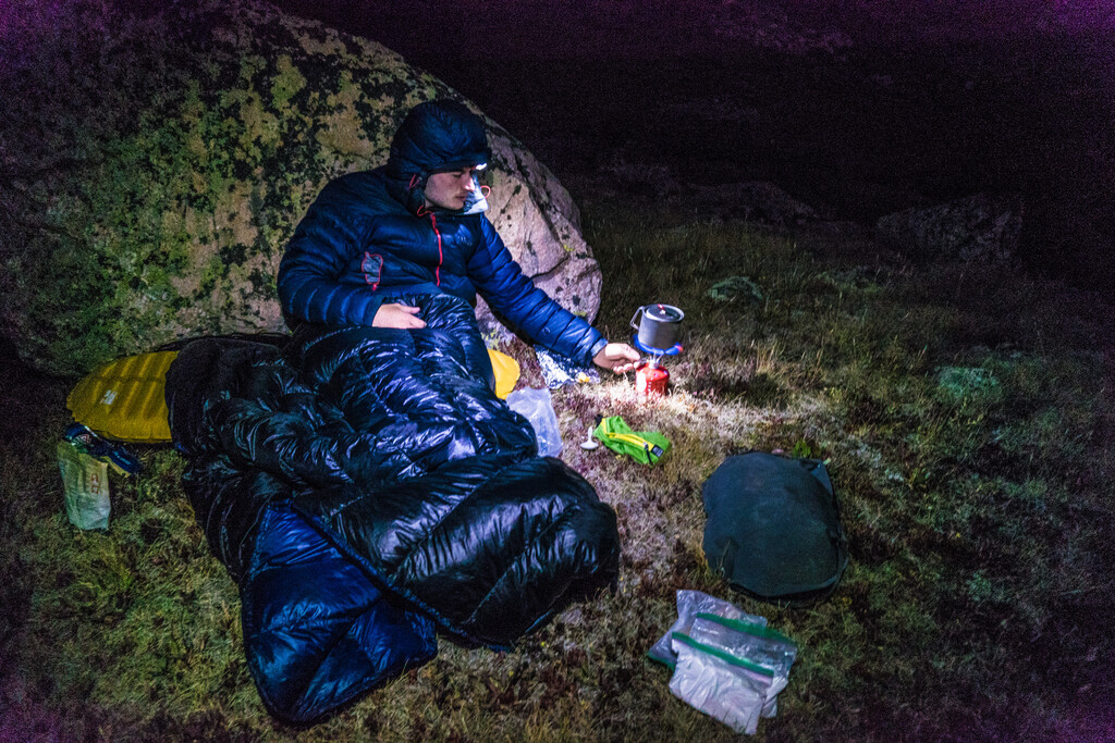
Our first full day began with the ascent up grassy slopes of Mount Powell. The climb up Peak C is low 5th class, but very loose and proved to be a major mental crux of the whole trip. We experimented with different footwear in the past. For this attempt we each carried a pair of boots and approach shoes. The approach shoes were perfect for low 5th class sections like the ones on Peak C. We also had a scheme that would allow us to pass the crux of C Prime with only one pair of climbing shoes to save weight. Chris took a pair of old Muiras, scraped off almost all the rubber except the toes, and cut off most of the tongue. We also carried 40 feet of fishing line. I climbed the 5.6 crux in the modified climbing shoes, then slid them down the fishing line to Chris. We continued across the incredible Ripsaw Ridge in stellar weather. By Peak F we were feeling gassed, but determined to get past a few more peaks to gain access to higher water sources. We topped out Peak H at 6:40pm, then backtracked back over Black Benchmark to access a gully that took us east off the ridge. By this time it was dark and we were extremely dehydrated. Chris kept stopping in the talus, listening for water, then frantically digging to try to reach it. We eventually found a flat spot and a stream.
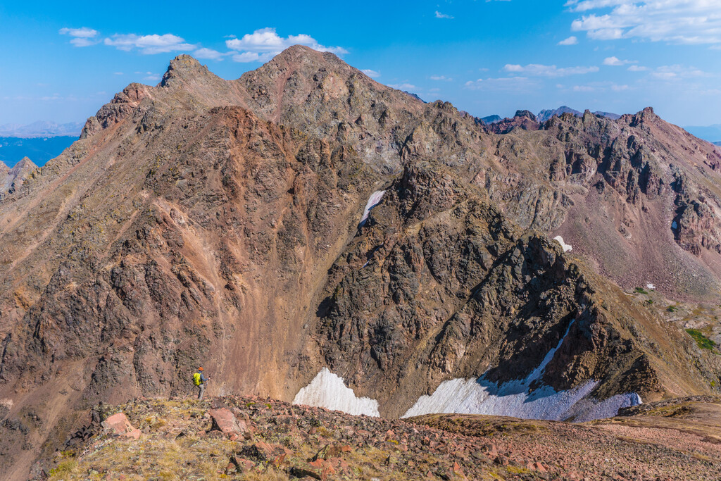
Dismayed by our tired legs, we decided to sleep in a bit on day two. We gained Peak J at 10:50am after a few low 5th class moves. The ridge after Peak P becomes very complex and often obscured when you are on it. We were determined to try to stick to the ridge proper even when it looked unlikely to “go.” In the traverse to West Partner, our luck ran out. We were forced to descend to 11,700 feet and then climb back up. We were further demoralized when we found the route finding to East Parner to be mostly guesswork. The west side is steep and impassable, but the east side is striped with gullies that invite you to descend separated by ribs that look doubtfully traversable. Finally we arrived exhausted at the summit of East Partner Peak at 6:10pm. We descended south to a stream above Pitkin Creek and camped at the very spot we had decided to abandon our 2018 attempt.
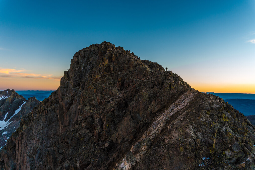
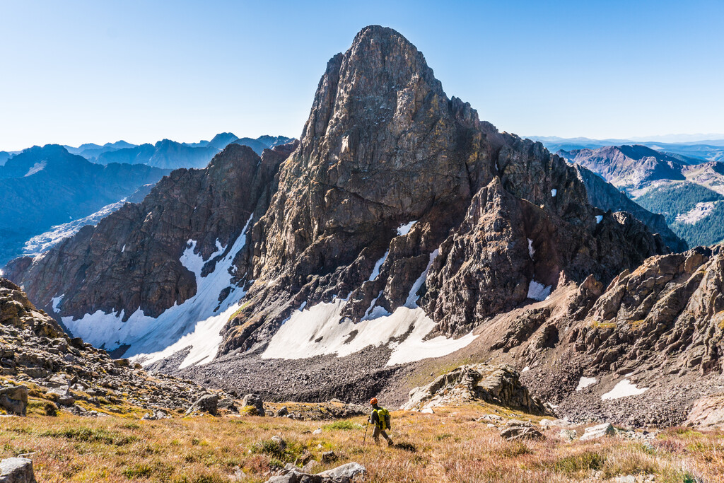
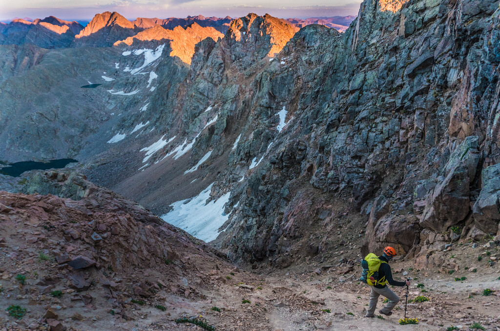
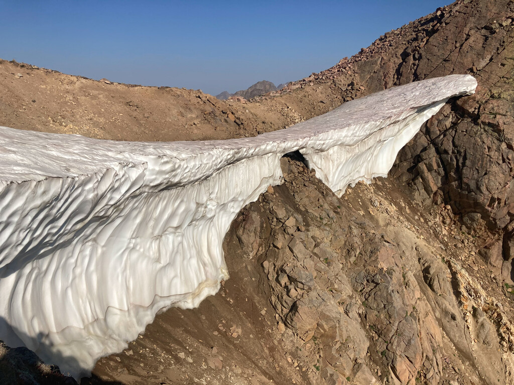
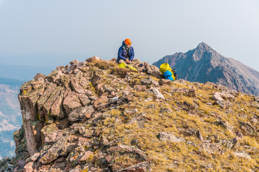
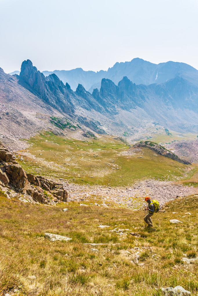
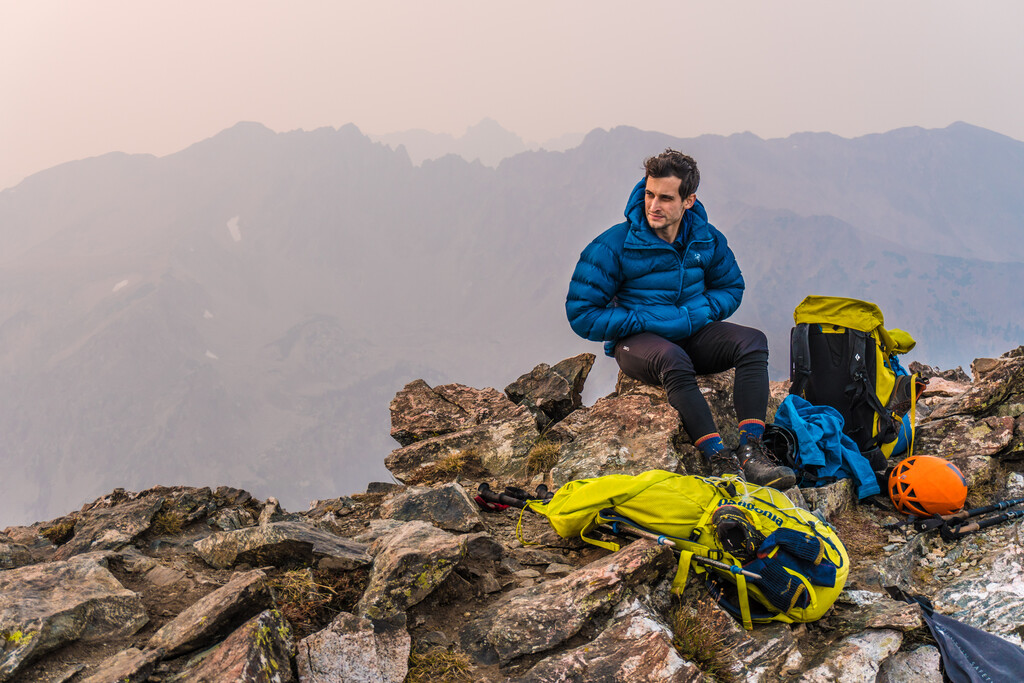
On day three we set off into unknown terrain for us. We hit Vista peak at 7am. The next two peaks were connected by a gentle grassy slope, but that ran out after Climber’s Point. We were again forced to descend off the ridge. We found a gully off the southeast side, but it was menaced by a huge icy cornice hanging like a diving board. We began descending down a nearby rib, but it was so loose and steep that we decided it would be less risky to bomb it down the gully instead. One at a time, we dropped into the gully and ran headlong as fast as we could down the slope in a cascade of dust and pebbles. We made it to the bottom without incident. However, while sitting in the valley at 11,400 feet, we were left looking up at the hulking face of North Traverse and a map that showed roughly half the mileage to go. We hit our lowest morale of the trip. We were aware that a storm was supposed to be coming in after the next day. Our prospects for finishing the tour seemed very slim. We stopped at a stream to rehydrate and talk it over. We both decided that this was probably going to be our last attempt. We felt that we weren’t going to finish, but resolved to go down swinging. We found really fun scrambling between North Traverse and Grand Traverse that rekindled our love for these mountains. We were amazed to find ourselves on the saddle below Snow Peak with over an hour of daylight left. We started to descend down to make camp at Snow Lake but Chris stopped and asked “Do you think we could tag Sleet Peak tonight?” This turned out to be a brilliant idea, and probably made our success possible. We dropped our packs and bounded up to the summit at 6:47pm. Later from below we could see the ridge from Sleet to Hail Peak would likely have been impassible. Camping below Hail Peak allowed us to bypass that section of the ridge. As we filtered water and forced down some calories it started to sink in for the first time that we really had a shot at finishing this year.
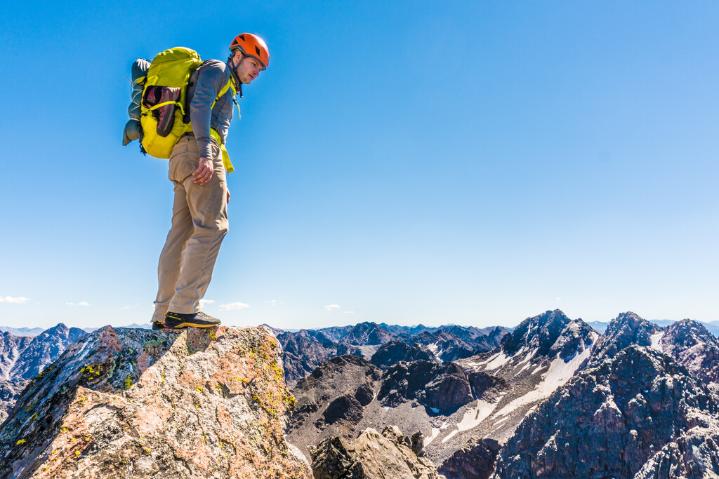
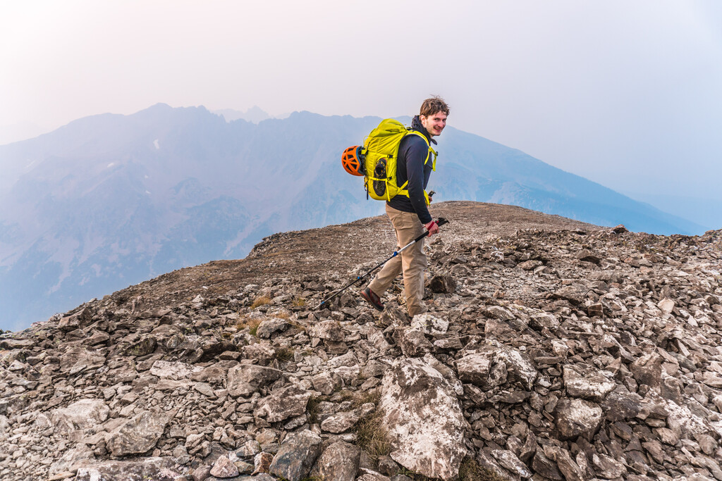
The next morning the smoke from nearby wildfires started rolling in. By the time we got to the top of Hail Peak at 8:19am the north side of the range had disappeared. After Mount Silverthorne we bypassed the Zodiac Spires to the west. The final peaks were a long slog but mild hiking. We gained the summit of Buffalo Mountain at 6:20pm. It was an emotional moment for both of us. We savored an immense milestone in our lives, tinged with sadness that our quest was finally over. On the way down to Buffalo Cabin Trailhead Chris broke into a run because his headlamp batteries were almost dead. My knees were having none of it. We arrived at 8:17pm, bringing our final time to 4 days 5 hours and 8 minutes. We completed the Naa Ohn Kara Ground Tour completely unsupported, carrying everything we needed except water with us from the start of the route. We never did see that waterfall.
Day 0 (9/3/20)
- Surprise Lake Trailhead 3:09pm
- Eagles Nest 8:04pm
Day 1 (9/4/20)
- Mount Powell - 8:27am
- Peak C - 11:11am
- Peak C Prime - 12:33pm
- Peak D - 1:49pm
- Peak E - 3:18pm
- Peak F - 4:16pm
- Peak G - 5:25pm
- Black Benchmark - 6:23pm
- Peak H - 6:46pm
Day 2 (9/5/20)
- Peak J - 10:52am
- Peak P - 12:05pm
- Peak U (West Partner) - 2:50pm
- Peak V (East Partner) - 6:24pm
Day 3 (9/6/20)
- Vista Peak - 7:08am
- Mount Solitude - 7:46am
- Climbers Point - 8:23am
- North Traverse - 12:39pm
- Grand Traverse - 2:47pm
- Palomino Point - 4:15pm
- Mount Valhalla - 4:43pm
- Sleet Peak - 6:47pm
Day 4 (9/7/20)
- Hail Peak - 8:19pm
- Mount Silverthorne - 10:11am
- Red Peak - 1:47pm
- Eccles Peak - 5:22pm
- Buffalo Mountain 6:20pm
- Buffalo Cabin Trailhead 8:17pm