Ice Age Trail: Lapham Peak Segment
Lapham Peak is 40 minutes from downtown Milwaukee and one of my favorite places to explore. There are several more trails than the Ice Age Trail which cuts through the “park.” This was my fourth trip here, so I felt comfortable on the more technical bits and punchy sections. I may never get the hang of the western approach to the namesake peak. It’s approximately 0.8 miles long, winds back and forth as it ascends, and always seems to be covered in people.
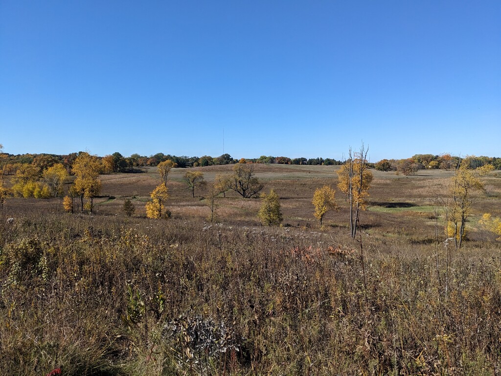
Before I got here though, I had to roll with the punches of the prairie. When I think prairie, I think flat as a pancake and prairie grasses; in Lapham Peak, I’m only half right. This prairie is covered in kames which the Ice Age Trail seemingly climbs each and every one of them. (If I ever do this whole segment again, I’d like to try it in reverse and see how much worse these punches feel on tired legs. For parking purposes, I’ve always started with them when I’ve done this part.) This is a section that requires focus so as not to accidentally go down one of the many other prairie paths. To avoid redlining so early on, I walk/power hike many of these punchy inclines.
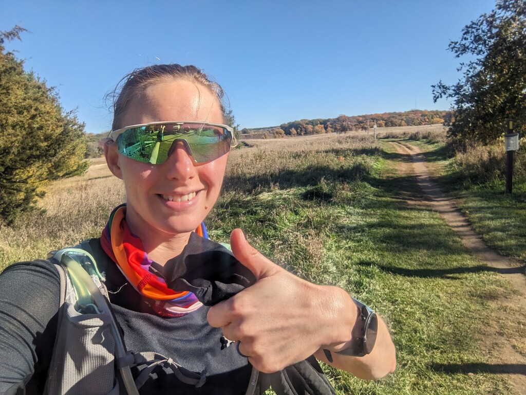
There are several road crossings on the route, but the best one is Kettle Moraine Scenic Drive. In the Evergreen parking lot are flush toilets, water, and a heated building. The building didn’t feel great on the day of my attempt because it was in the 50s F. Being able to run the gaiter I was wearing as a headband under cold water felt spectacular though and absolutely kept me cool and fresh feeling for my run.
Shortly thereafter, the climb to Lapham Peak Observatory Tower begins. There’s maybe quarter to half a mile of flatter trail leading in with a pair of trail junctions to navigate. (Right fork at the first junction and straight through the second.) The trails hadn’t been super busy thus far, and passing was easy; the climb was nothing but people and all singletrack. Since I was pushing this ascent, speaking up loudly enough for people to hear me was challenging. I felt like I was yelling to be heard over their conversations, and several groups just stopped and stared at me instead of stepping off to the side. If you’re planning to haul up this climb, definitely go during the work day or early on the weekend when this section isn’t so busy.
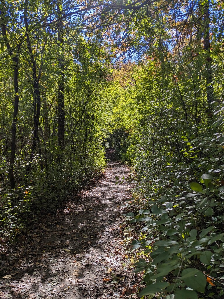
The eastern side of the observation tower was significantly quieter. This made me so happy because I could bomb down the punchy little descents and focus on the dodging rocks and roots instead of people. The few people I did see were much less stunned and much more friendly. This area is probably my favorite, maybe second favorite as I do love the flat miles that follow this technical bit. After the next road crossing (School Boys Road, or something like that), the trail is quiet, scenic, and cruisy. Last time, I ran through here, I tripped on something under the leaves, so pick up your feet to (hopefully) avoid this. Thankfully, I didn’t wipe out this time and made it through to the next road crossing unscathed–aside from being startled by a very noisy squirrel.
By far the hardest road crossing is County Trunk Highway 18. There is a crosswalk painted, bright yellow signs with flashing lights, and most vehicles don’t stop. Unlike the previous road crossings where the traffic is limited, turning before it gets to you, and traveling much slower, 18 is a major road with a 55 mph speed limit. Road crossings like these make me feel anxious as a runner because while I can dart across Frogger-style, fast moving traffic could actually, forever kill me. (I don’t get a redo with another life.)
I waited roughly 30 seconds before being able to safely cross and join the Glacial Drumlin Trail. These final miles are a paved rail trail, but they don’t feel as good on the feet in trail shoes. I tried running on the grassy edge, except I felt like I was going to roll my ankle. These are a different kind of scenic than in the park. Personally, I prefer the park. All went well through here; road crossings included. The segment ends at a small, wooden sign on the right; it points left down an off-road trail and says “Ice Age Trail.”
With the exception of the Glacial Drumlin “road” miles, I highly recommend this route for all its trail fun and versatility. There aren’t many places with long climbs, short climbs, forest, rocks, roots, prairie, cruisy flats, and fast flats all under eight miles.