A gloomy-looking day made for a great long run day. I started at Brown Deer Park, so I could run towards downtown and the lake as the day warmed. Living in Milwaukee, I was familiar with most of this route, having biked it at one time or another. The part I didn't know were the miles immediately following Brown Deer Park. They weren't hard to navigate, but there wasn't any sidewalk for the entirety of Range Line Rd, Dean Rd, or River Rd. While the speed limits didn't exceed 30 mph, I found many drivers on Range Line Rd unwilling to give me space as I ran along the side of the road. The shoulder is gravel and no wider than single track before sliding steeply into the ditch, making this stretch quite precarious. Thankfully, the few drivers I encountered on Dean and River gave me a wider, more respectable berth. This allowed me to admire the mansions I was passing as well.
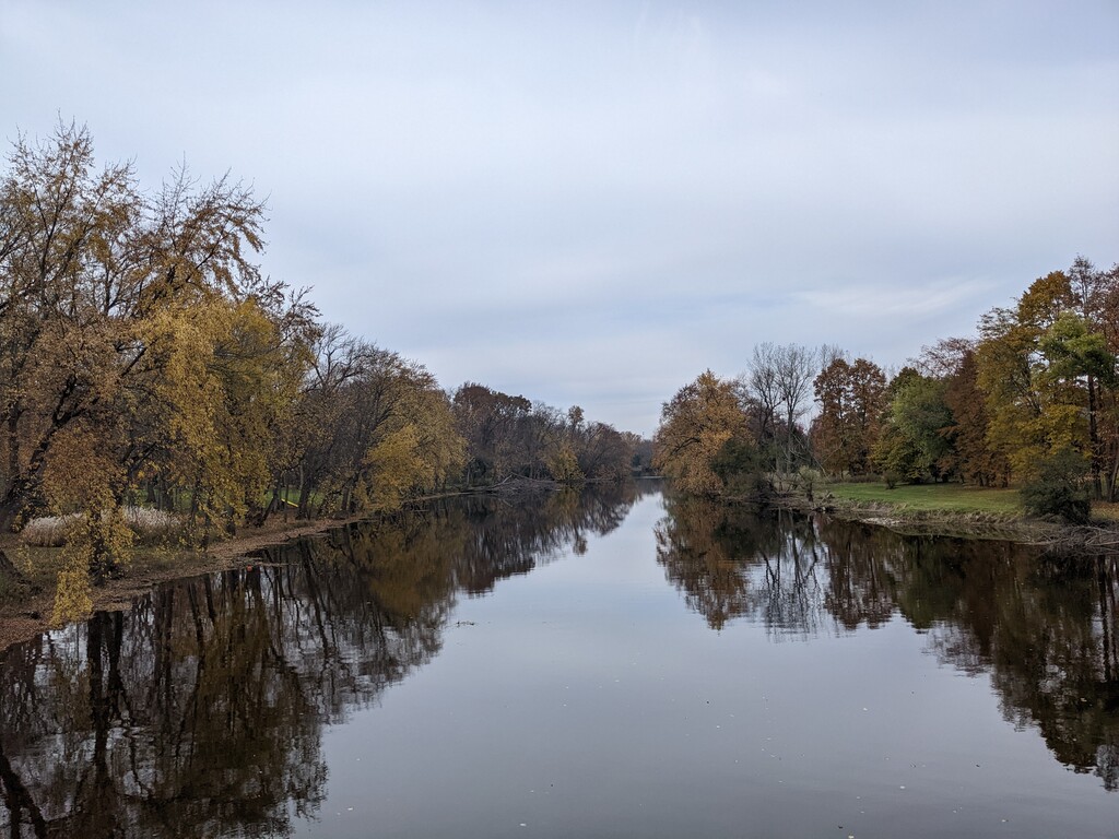
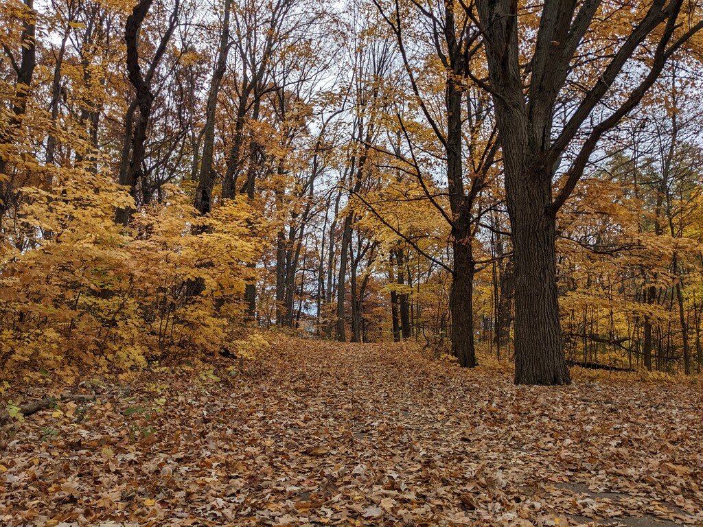
Once River Rd ran into Green Tree Rd, I had paved trail to run on. This didn't come without its disadvantages though because as the trail follows Milwaukee River Parkway and Hampton Ave, it is uneven and semi-treacherous when leaf-covered. The leaves and trees were beautiful to run by and made for great fall scenery. Another area to care on is on Hampton when the route goes under I-43 as there is construction on the interstate bridge with trucks coming and going during the weekdays.
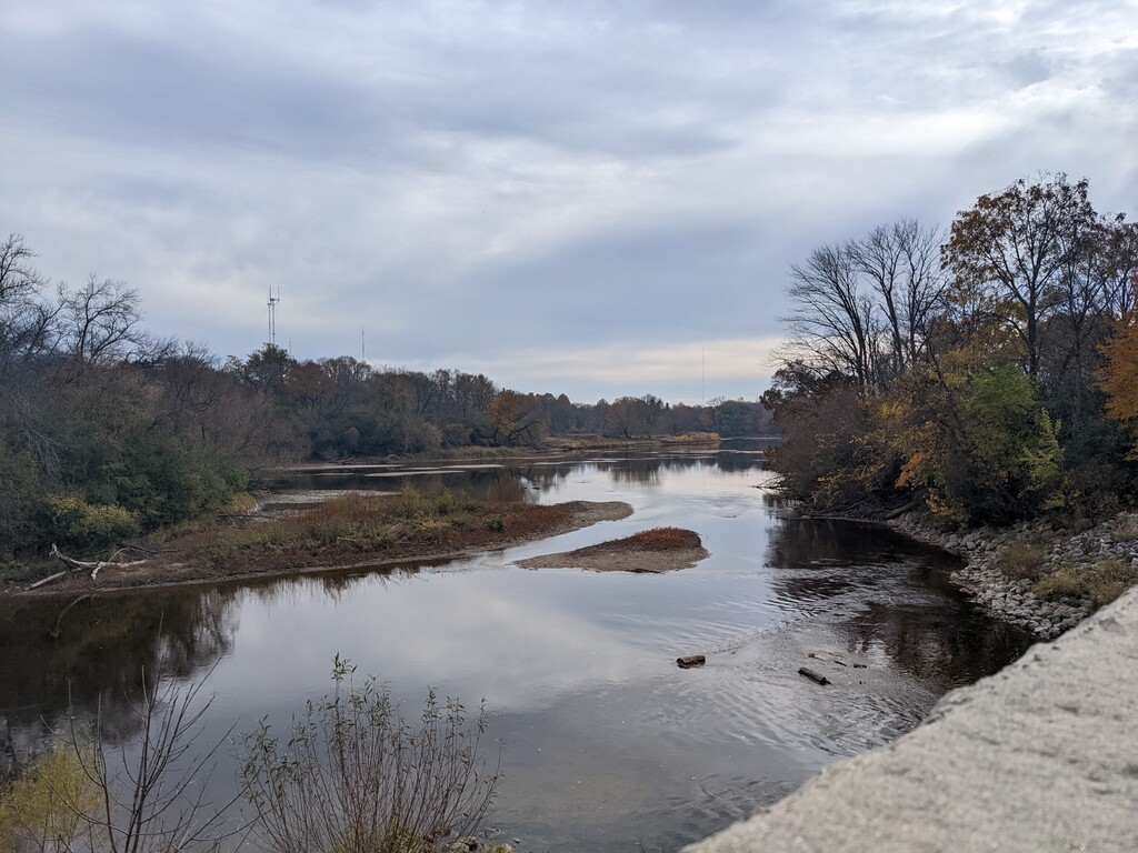
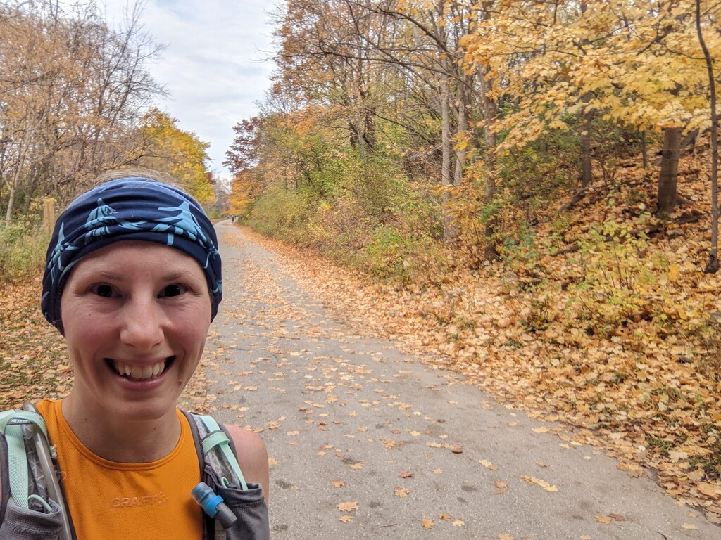
Starting at Estabrook, I felt much more comfortable with the route and was able to stop checking my phone to ensure I didn't miss a turn. This proved a mistake as I missed the next turn in front of the Estabrook Biergarten and added more than a quarter mile doubling back to correct my mistake. (I blame the elderly couple on e-bikes who passed me only to stop in the middle of the path, blocking any signage I may have seen, and the ruckus three dogs were making that I wanted to avoid.) Back on the path, I kept my mind on the route and my end point to ensure I got there correctly. This final third of the route was much busier, as I expected. Fortunately, with one exception, everyone was courtesy. The exception was a group of three people and two dogs who stopped in the middle of the busiest section (just south of where Lafayette Place crosses over the trail to the pedestrian bridge across Lincoln Memorial). One of the people and dogs stepped off to the side when I called "Excuse me," but the dog lunged out in front of me, almost causing me to kick it. I responded by telling the dog to "Share the trail." Had I completed the route before lunch or run it in reverse, I likely would have avoided such busyness.
Given my experiences with traffic at the northern end of this route, I can't recommend it to all runners. It is a beautiful route but not one to do in poor visibility or if you're uncomfortable running on the road with traffic. Similarly, several miles of this are likely not suitable for running with strollers, prosthetics, in a wheelchair, etc due to the uneven terrain. Personally, I believe this route (as a whole) is meant more for bikes than runners. With that being said, I would absolutely run it again to better my own or the FKT time.