Full disclosure: I don’t care for dams. You shouldn’t either. Recreate on wild rivers. Not fake lakes. Thought I’d try this anyway.
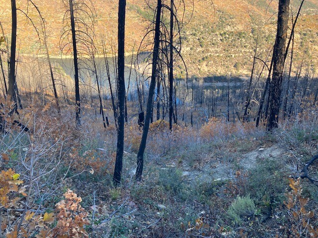
Counterclockwise. First several miles were on splendid single track to a campground. That was the end of that. Picked up pavement at a campsite and had delusions I’d finish this in 5 hrs. Hopped a guard rail and continued ascending on double track. Then began a long descent through thick oak brush. It was steep and rather heinous. That set the tone for the whole north side of the reservoir.
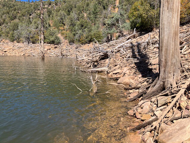
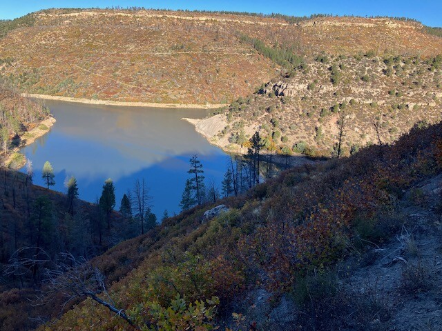
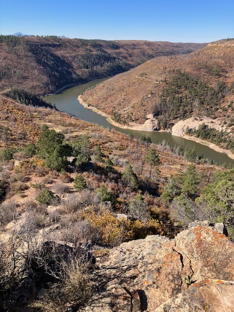
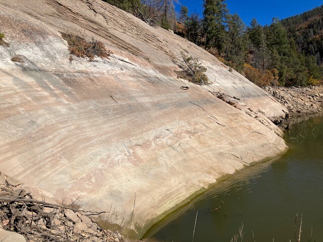
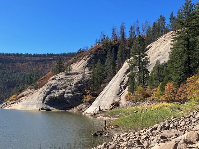
I anticipated low water levels with it being mid Oct. Instead it was pretty full pool. So I had to trace the shoreline upstream along the fork. But it was steeply cambered, rocky and strangely had thick foliage. More bushwhacking. Had to go uphill to get around a few cliffs eventually reaching a crossing a ways upstream.
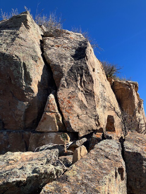
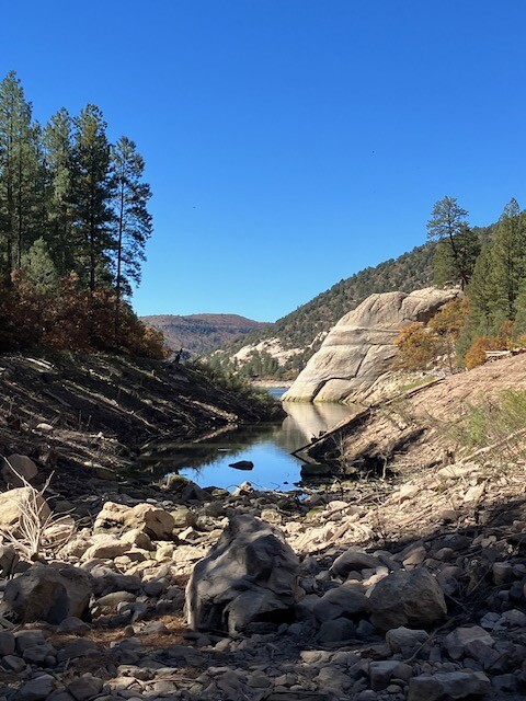
The other side of the fork shoreline was no better so I went straight uphill to the ridge. Considered bushwhacking downhill to the next fork but the ridge was more open so instead I ran toward the reservoir. Eventually it cliffed out. Picked my way down a crack. And descended to the water. Once again, the stream crossing was a couple miles up. I decided to swim the 100 yds across.
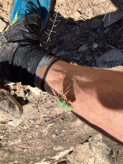
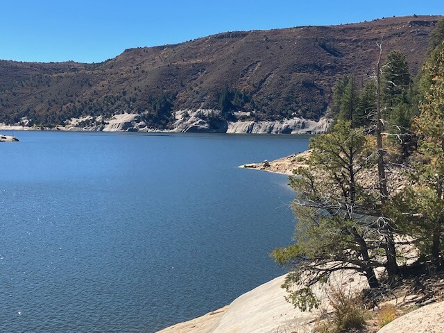
Dried off on the other side and started ascending to the last ridge to access the last fork on the other side. Mercifully the ascent had plenty of cow trails to follow. But the other side had some of the sharpest, densest shrubbery I’ve ever encountered. Somehow it had oak brush throughout, sage and cacti up top, and dense willows closer to the water. It was relentless. I contoured so I wouldn’t have to swim again. Hopped to the other side of the dry stream bed and ran up shore toward a pit toilet I’d seen on the map. Took a break here to refill water and remove cactus burrs that had burrowed through the sole of my shoe.
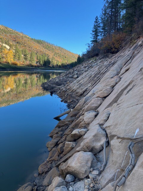
Considered taking the road up here and just adding on additional mileage and 500ft of elevation but opted to trace the shoreline. It was a combination of slabs, talus and the densest water washed deadfall I’ve ever encountered. Rocks are more stable than wood. Every time.
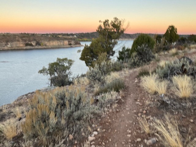
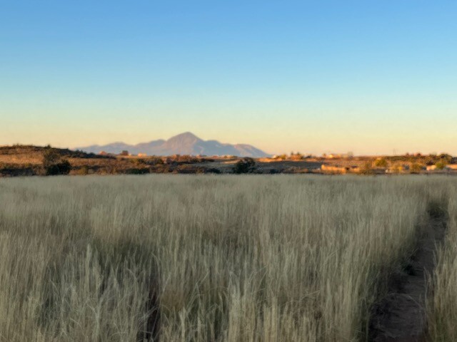
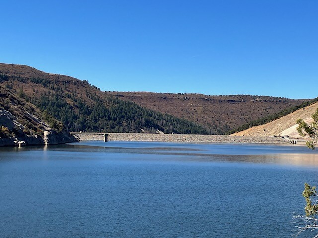
Eventually reached the salvation of the dam and promise of trails. Took some switchbacks to the top of a hill and ran south ~6mi on double track where I hit the highway. Had to finish out with about 5 miles along there. I was sick of the pavement so I took a "short cut" and encountered more effing scrub oak and sage brush. Cursed my choice and got back on the highway.
Scenic loop but good grief.🥴 I really underestimated this.