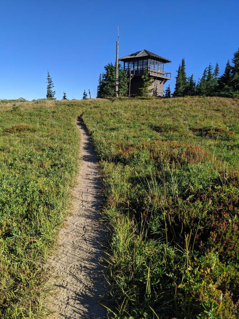

Had this on the to do list for a couple of years but it always seemed to take a back seat to more notable national park trails. Bad call...this was a sweet surprise. Mostly runnable grade, excellent surface and finishes with a lookout tower and big mountain views.
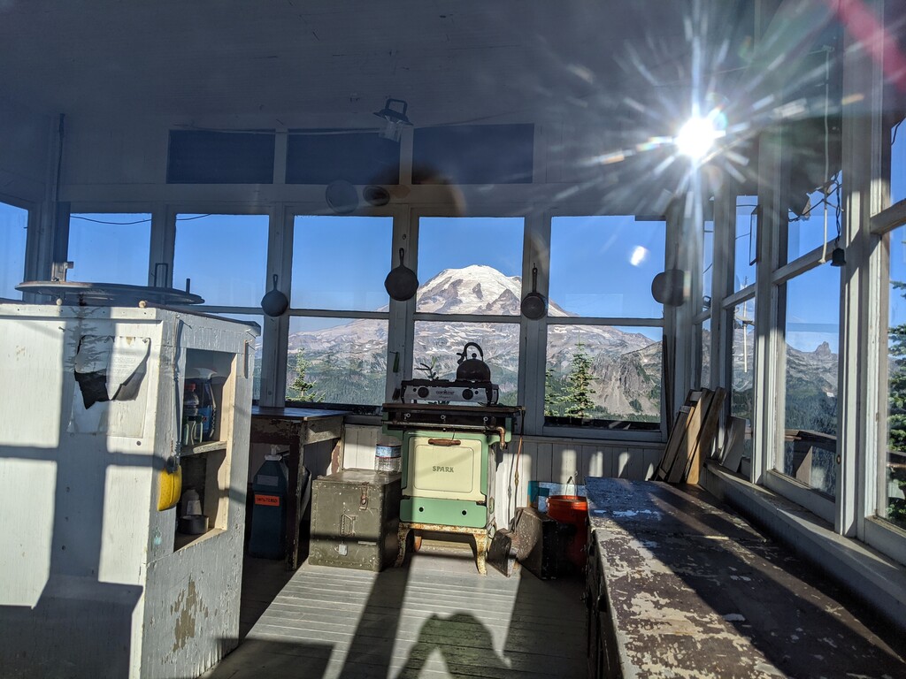
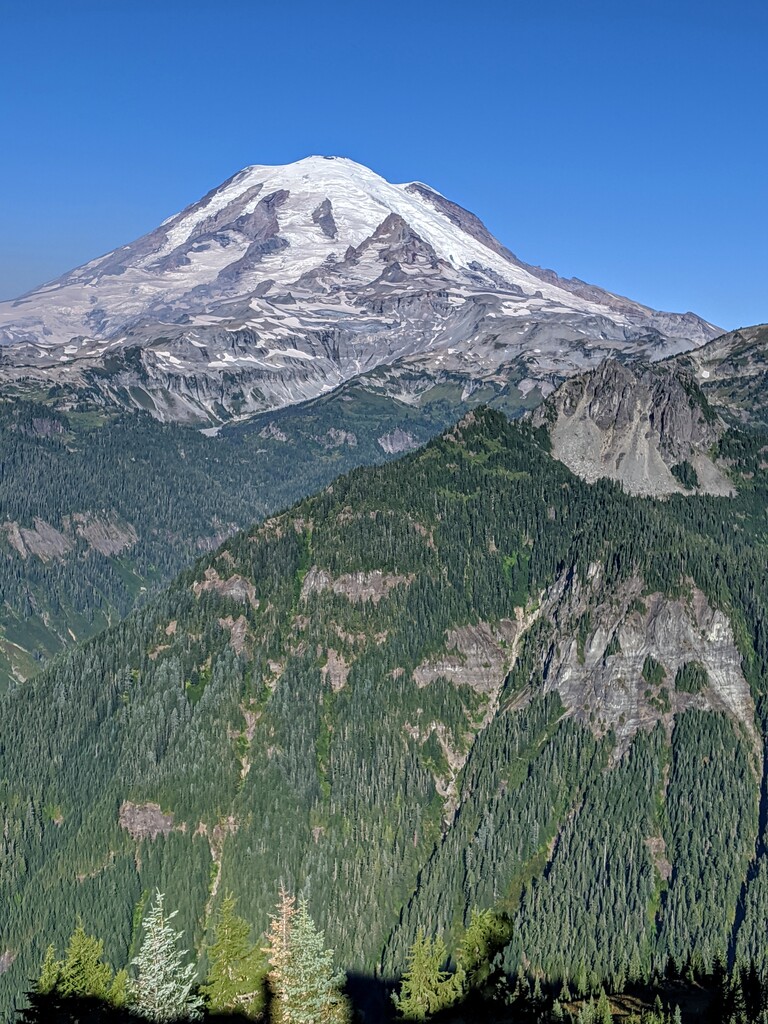
From the get-go, the Shriner Peak Trail steadily climbs for most all of it's 4.25 miles. It's hot and dry, at least in late summer. The trail runs parallel to Panther Creek through shade for 0.75 miles before entering an old burn area. Traverse this shadeless stretch for another mile to a steep series of switchbacks to the top of a ridge under Shriner Peak. At 2.5 miles, catch your first view of the east side of Mt Rainier. Sprawling with wildflowers just weeks ago, it's now waiting on Fall colors of Vine maple, mountain ash, golden larch, and huckleberries. After another 0.75 miles of steep climbing, you're rewarded with a view of Shriner Lake far below. From here, the final mile to the summit turns dusty and rocky. Just 0.25 miles from the summit, catch your first view of the lookout tower on Shriner Peak. Views from the summit of Mount Rainier, Little Tahoma, Sourdough Ridge, the Cowlitz Divide, Mount Adams, Goat Rocks, and Mount St. Helens are solid.