Start
- Aug 9,2020 at 5:33 AM EDT
- 66 deg humid, mostly sunny
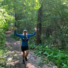
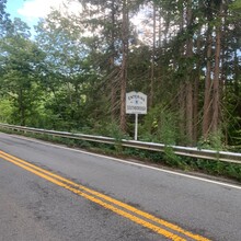
- Started on the southern end of the loop in Beals Preserve in Southborough and proceeded in the clockwise direction.
Finish
- Aug 9, 2020 at 10:37 AM EDT (*I realize the TCX file says I finished at 10:21 AM, however this is not correct. I was tracking with MapMyRun and it had 2 glitches, once near Millham Reservoir and another time along east side of Sudbury Reservoir.)
- Total Time - 5:04 (*Unfortunately I don’t know the number of seconds)
- 80 deg, humid, sunny
Gear
- Hoka Speedgoat 4
- Ultimate Direction lightweight race vest
- Long sleeve tech shirt
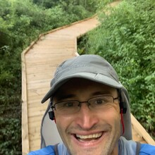
- Hat with neck guard
Fuel
- Seven 500ml bottles (3.5 L) plus an additional 500 ml of ice water from my wife along the way. I had initially planned to do the route self-supported, however I couldn’t refuse the ice water when she showed up unexpectedly!
- Dropped 2 bottles at Marlborough High School, and 2 at the Parmenter Rd crossing
- All liquid calories, 320 calories of Maurten, and 900 calories of Tailwind
- I could have used one more bottle, I ran out with about 3 miles to go.
Route
I started on the southern end of the loop in the Beals Preserve in Southborough, walking distance from my house. I proceeded in the clockwise direction. I see no real advantage to starting at any point on the loop, and no advantage for the direction (clockwise/counterclockwise). So, I propose for this route we don’t have different categories for them.
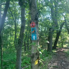
Before this attempt I knew about 50% of the trail. Some of the trail is very well marked, and some of the trail isn’t marked at all. It would be a big advantage to know the entire route and not have to do any route finding. It’s especially bad on the east side of the loop in Callahan State Park where there are many intersecting trails with no markings at all.
I had the official Boroughs Loop Trail map loaded into ArcGIS on my phone, although as Adam has stated, it’s not 100% complete. It seems like the largest missing piece is from Dufresne Dr to Crowley Dr on the north side of the loop in Marlborough. I propose we all bypass this section using West Hill Rd as Adam and I both did. If this section of trail is finished someone should post that information here, and it could be added to the route. One more issue with the route was in Memorial Beach Park where the gates were locked. It’s a short sections, so I proposed people just do the best they can.
I also had Adam’s GPX file loaded into Gaia on my phone, and I used this as my primary source of navigation. I used MapMyRun for my own tracking. I believe running all these apps at the same time on my phone made MapMyRun glitch twice while tracking.
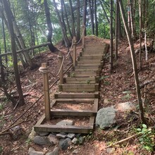
The route has no major climbs but does contain some small hills. Based on my tracking it says it’s about 2000 vertical feet. I also would estimate the route to be closer to 31.5 miles, not 32, unfortunately MapMyRun had those glitches, so my track isn’t accurate. I was able to run the entire length of the loop except for a small section going up Indian Hill behind Target in Marlborough, there were even stairs here.
Local Nature
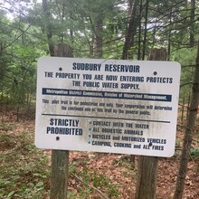
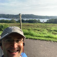
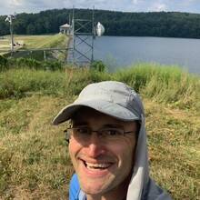
I’d estimate about 70% of the loop is on trail, and that trail is mostly shaded, except for the section along the Sudbury Reservoir in Southborough. Most of the trail contains typical New England rocks, roots, and other “tripables”. There are some large sections of road running, and bike path running in Marlborough, about 7 miles.
Unfortunately, during the summer months, the horse flies are brutal, and proper clothing (hat with neck guard, and long sleeve shirt) are required. There is also a lot of poison ivy along the trail. I thoroughly washed my legs right when I got home with Tecnu.
I was fortunate enough to see a bunch of wildlife, cardinals, blue jays, and turkeys. I also saw rabbits, a small snake, a fox, and even a bobcat!
Overall it was a great day out exploring some new trails. I hope to give it another attempt in the fall when the weather is cooler, and I have some more experience with the north end of the loop.

