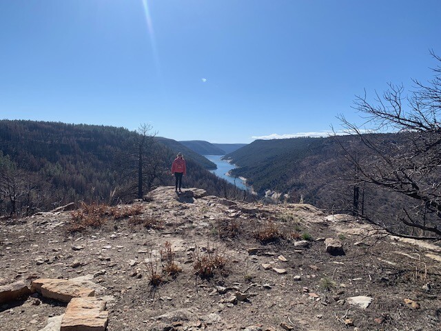
Living only a mile from the circumnavigation, I had trained on all portions of the route previously except the off-trail section on the northern edge of the reservoir. Recognizing that my finish time is very modest, the route really highlights the area; a mix of high desert fauna transitioning into a ponderosa pine forest to the north. I chose a clockwise direction on the route to enable reasonable support at approximately 2/3 the distance. It also seemed logical to start and end in the city of Dolores near the Overlook trailhead and cemetery. As a matter of note, the Overlook trail is not open until May 1st due to seasonal protection of the wildlife corridor. Another logistical consideration is the seasonal timing of the route; reservoir filling starts in the spring and is “full” by early summer. An empty or low reservoir may expose a more direct runnable terrain on the southern edge or allow for side drainages to be less cumbersome. I chose not to swim the side drainages due to the nature of the mud and potential electronic damage, although one could shorten the circumnavigation considerably.
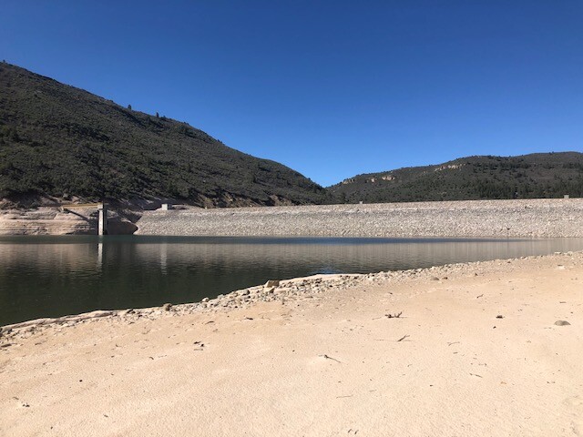
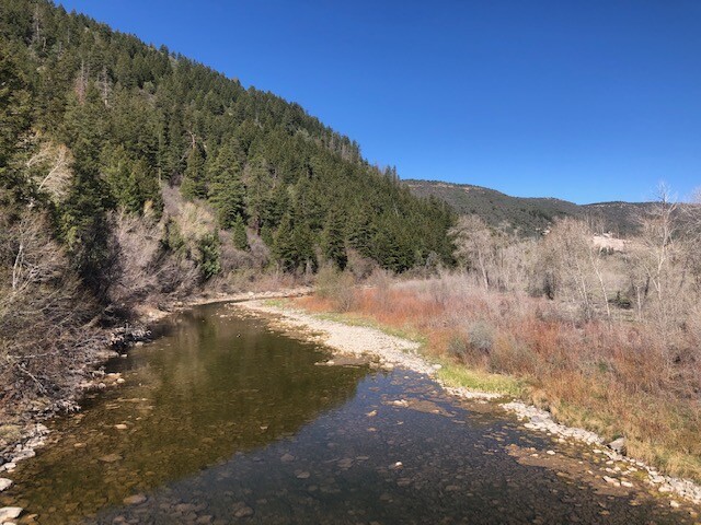
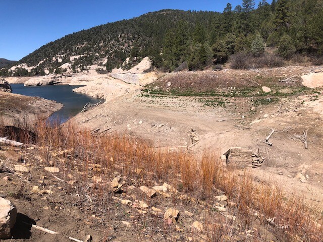
After crossing over the Dolores river on Highway 145, I continued on pavement to the hilltop and down highway 184 to a fisherman’s access (Road 28) near the historic site of McPhee town. At low reservoir levels, I was able to utilize the historic Great Cut Dike canal bank for approximately 5 miles to the Narraguinnep reservoir inlet area. Crossing over the Great Cut Dike, I headed north to the Sage Hen trail system (FS Road 500) and at approximately 3 miles from Sage Hen parking lot started down into the McPhee dam outlet area. Sightings of mountain lions, eagles, and bears are very common in this stretch down to the river. A couple of choices are possible at this point: taking the historic stock trail up from the river and the Dry Canyon road back down to the reservoir or along the reservoir beach between the dam and Dry Canyon. Although I chose the latter to avoid the 1100 foot climb out of the river valley, the beach route had its own difficulties (downfall, bouldering, and cliff walls). From the Dry Canyon reservoir access, the true adventure begins. I climbed out of the Dry canyon drainage to the Trimble Point area and on past FS Road 523 to the Plateau Creek drainage. Once into the Plateau drainage, another climb was made over to the Beaver Creek drainage. One could connect Plateau and Beaver via the beach although the climb between was only 400 feet. Getting out of Beaver Creek is approximately a 700 foot endeavor that puts you near FS Road 529 where my lovely assistant provided aid and relief. The previous 10 mile off-trail section from the dam to the road was not trivial due to the many obstacles encountered (luv the scrub!). At this point the total mileage was 23 miles with approximately 13 miles left of FS road/House Creek pavement/Overlook trail. I chose to utilize a large portion of the House Creek pavement although the Bean canyon trail system parallels much of this drainage. The last 6 miles on singletrack back to the Overlook trailhead is an extremely enjoyable buttery trail.