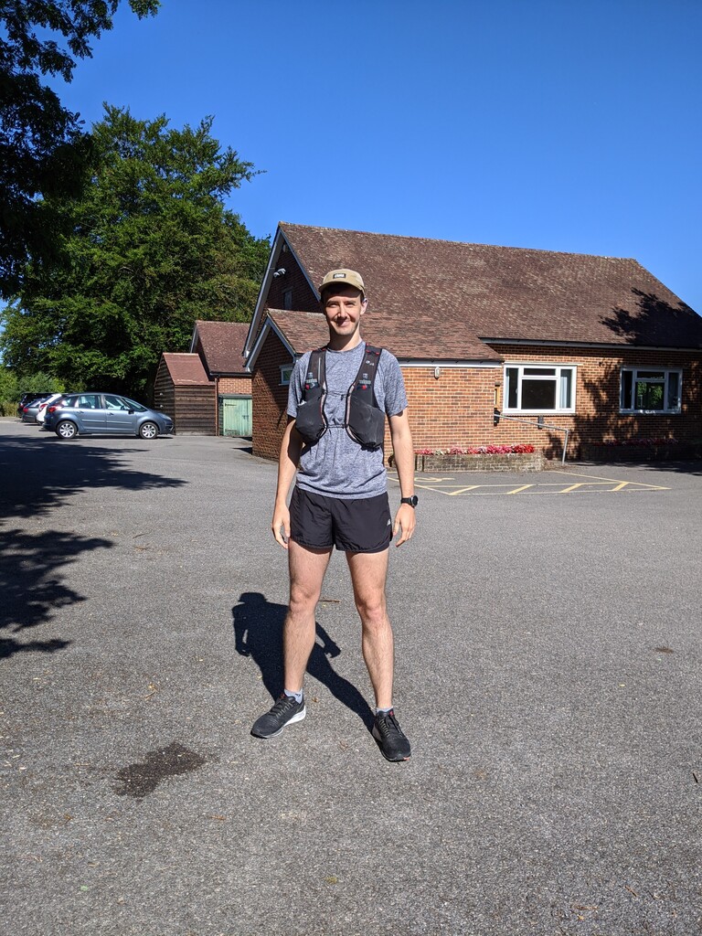
The route starts from Lower Beeding village hall. There's plenty of parking, and its about an hour from South East London.
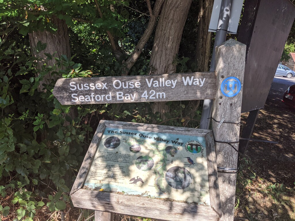
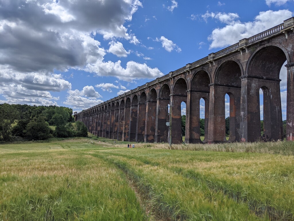
The first half of the route is mostly spend in rolling woodlands with only the occasional drop down to the river. It is pretty quiet over this section, with only the occasional dog walker. Two particular highlights: the long descent through ancient woodland out the back of the Nymans national trust estate (which reminded me of Californian redwood forest, the trees are that tall) and going under the Ouse valley viaduct (which you'll recognise if you've ever got the London to Brighton train). The only lowlights were a couple of short but busy road sections and a confusing crossing of Haywards Heath golf course (they don't mark the footpath at all). This is the most 'technical' part of the trail, but it's straightforwards enough that I felt completely fine running it in road shoes. I started out slowly, hitting the first ten miles bang on my target split of 1:43.
Water/food stops are easiest at 21 miles (Newick village shop) and 31 miles (Lewes Tescos). Both shops sit right next to the trail. After the first stop I was still feeling strong so decided to put in a kick over the next ten miles to Lewes. On arriving at the Tescos I had to spend some time waiting to get in due to social distancing. While I was waiting in that queue I realised I didn't feel so great any more.
The second half of the route runs much closer to the course of the Ouse itself. As a result its flatter and faster, and if you've got anything left in the tank you could probably do the final section from Lewes to the sea at a decent lick. I, however, slowly realised that I'd kicked too early and proceeded to fall apart from mile 35 to the finish.
There are only two points where the route leaves the riverbank: first to redirect you through the village of Southease (and this is the only point where the route links to the South Downs Way) and second to take you up Lodge hill. Both involve short, sharp climbs, and are quite painful coming where they do in the parcours.
In general, the GPX file linked above corresponds to route signage on the ground, and there were only two deviations that I had to make: the first was on the front of Lodge hill, where the footpath you're meant to take has become completely overgrown from the northern approach, meaning that you need to make a detour to the east; the second is in Newhaven itself, where construction work means that once you cross the train line you need to continue running on the opposite side of Mill creek. Both changes add a bit of distance to the route.
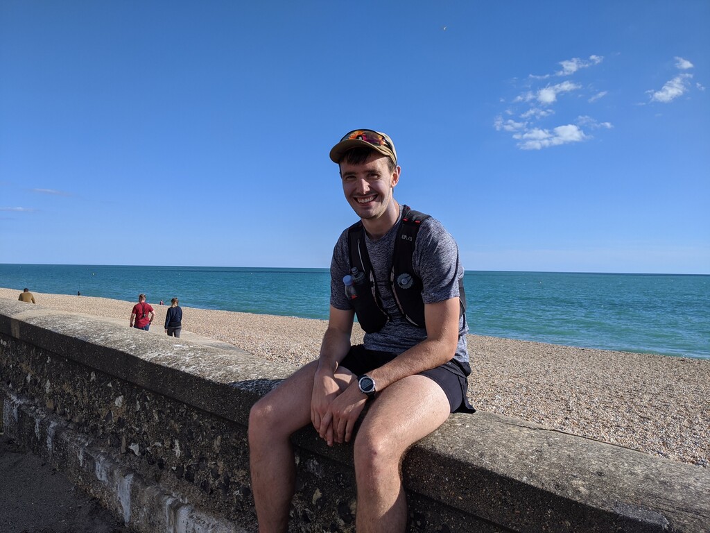
The final mile at Seaford is all along the seafront. The view is nice, and knowing it's almost over is even better.