
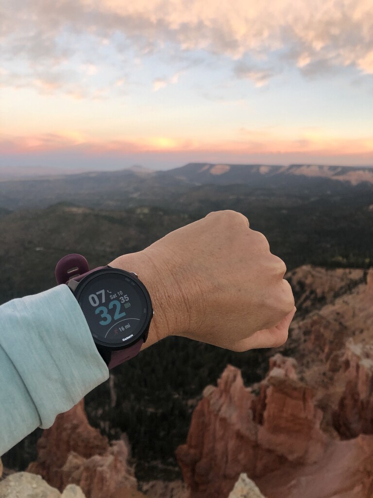
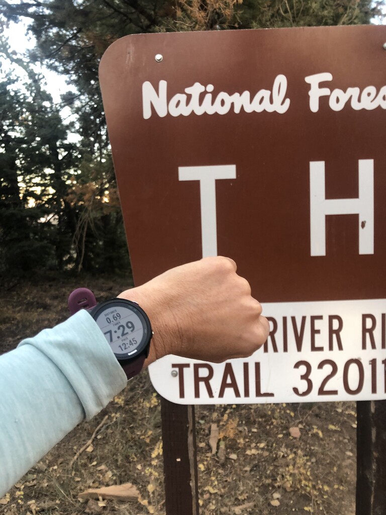
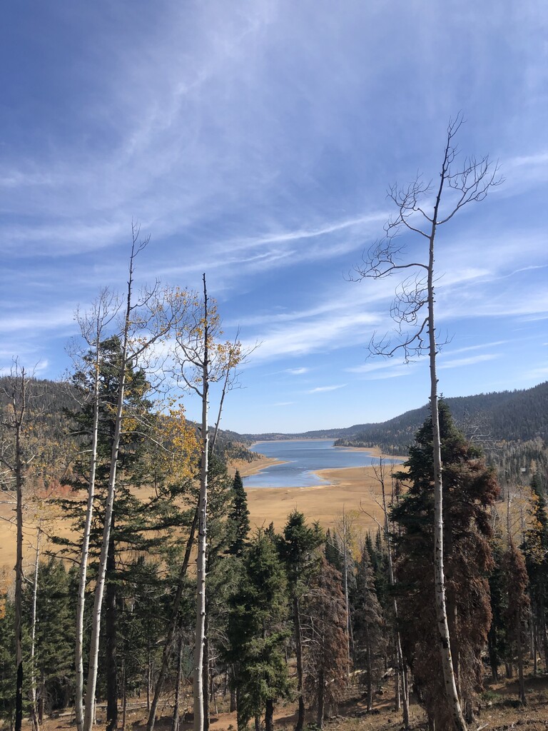
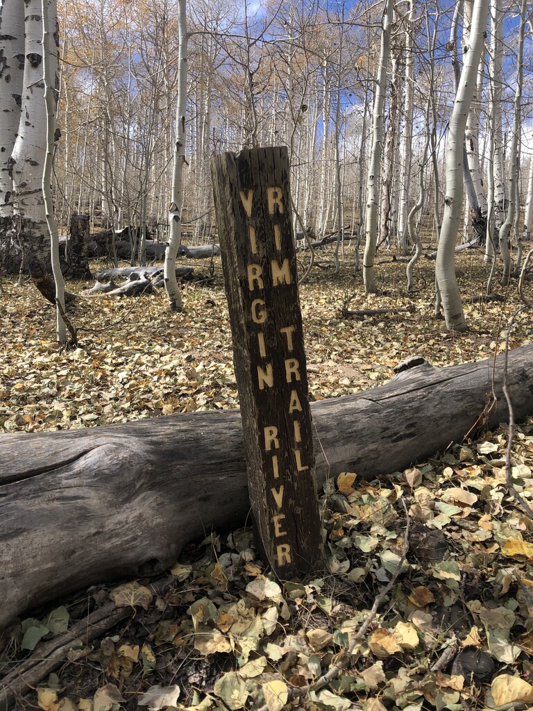
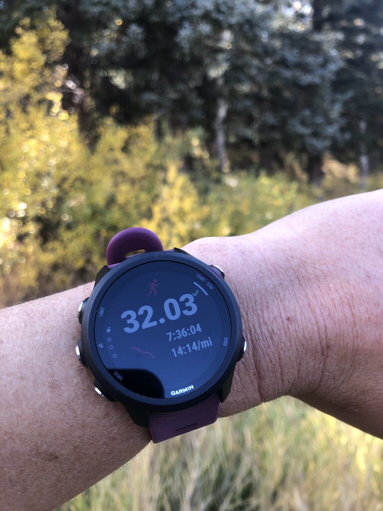
This was my second time out on the Virgin River Rim Trail and although it didn't go quite as planned, it was still a good day on a beautiful trail - and enough for the unsupported FKT. My boyfriend and dog drove me out to Strawberry Point this morning and walked with me out to the Point to catch an amazing sunrise. I started my Garmin at 7:32am and took off. I had no idea until getting back to the hotel tonight that my GPS didn't find my location and kick on immediately, so the mileage and time are correct (32.02 miles in 7 hrs 36 min), but the map has me starting at a random spot a mile or so in when my GPS finally kicked on. I took a photo of my watch at the VRR trailhead .69 miles into the run at 7 min 32 sec. A bit after that, the GPS finally found me and was on track for the rest of the day. My GaminConnect GPX file shows the correct mileage, elevation gain, and time. (Side note: I usually use my Garmin to record my pace and time on runs, but I've never paid attention to GPS and only connected my Garmin to Strava a couple days ago to test it out specifically for this run, so I guess I learned a little lesson today about how GPS works...).
The first half of the run was a bit of a struggle, having only gotten about 2 hours of sleep the night before and tired legs from lots of recent mountain running. The last time I ran VRR (two weeks ago), I hadn't looked at the FKT website and map so was just going off of AllTrails, which shows the route going along the road next to Navajo Lake (which obviously isn't right), so those few miles between the turn off for Spruces Campground and Te-Ah Campground were new to me - and harder than I would have liked! I was struggling with some ankle and foot pain the whole day and jumping over downed logs on this section of trail wasn't the best.
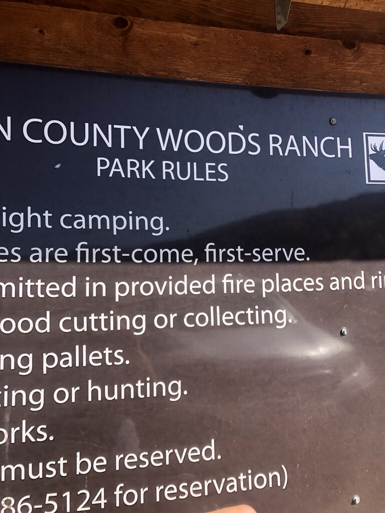
The second half of the run felt a lot better than the first. Since I had just been out on the trail two weeks before, I avoided some of the little mistakes and map checking I had done the first time. The last couple miles before the 3.7 miles downhill definitely dragged on - but once I hit the downhill, I tried to crank up my speed and make up a little time. I averaged ~9 min miles down the road, which is pretty good for me, especially at the end of a long run! Finished at the Woods Ranch sign in the parking lot and took one last photo of my watch.
Doing this unsupported, I carried the following food and gear:
Hydration vest
Water - 2 liter bladder and .5 liter soft bottle (which I dumped out once I hit the road)
Long-sleeve shirt (changed into tank top around mile 6)
Food - 2 Spring Energy gels, 2 sleeves of Clif blocks, Plantain chips (did not eat), PB wrap (did not eat), protein bar (did not eat)