
This is a deceptively hard route. I'd backpacked the canyon before so knew more or less what to look for in terms of general topography, but was surprised at how difficult running is.
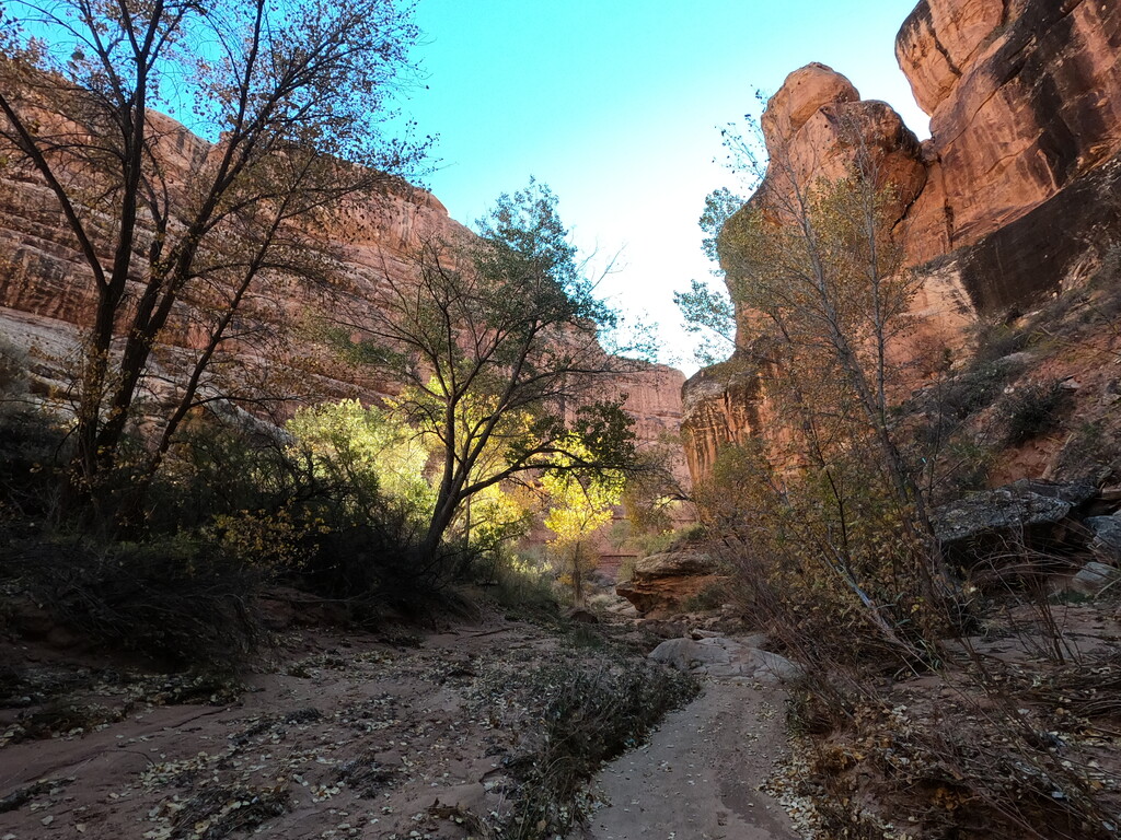
Collins canyon is a fairly well marked and easily runable trail. But as soon as it joins the Gulch at around 2 miles, the rest of the journey is a mix of soft wash sand, bushwacking, river cobbles, and lumpy slickrock. It is not terrain that is easy to move through efficiently.
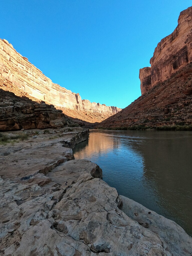
Though my GPS logged 39.75 miles, the actual canyon distance is probably more like 36. The deep canyon walls make accurate GPS readings difficult, as evidenced by the wide jitter in the track. (Similarly, there's only about 2k of ascent/descent, but if you get the elevation from the GPS line rather than an altimeter you'll read a much higher number as your track bounces in and out of the canyon). But after pushing so much sand behind you in an effort to move forward, it feels more like 50 miles.
The canyon was exceedingly dry this time of year. Collins spring, which in some years flows generously, was a slight drip. I didn't see any water in the gulch until 16 miles in. The day started cold enough to numb my hands; but felt like it was pushing 80 degrees on the return. It is very hard to drink enough water; I certainly didn't, despite ending with a spare liter in my pack. I collected about 2 liters from a small pothole on the return.
I'd hoped to beat Mike Wagner's 8h07m time, even though he cut the route several miles short. I missed that mark, but feel good about 8h41m as a proper FKT for the full route.