This was the third of three routes I did on April 14, 2023. The linked trip report has all three.
Also, FKT lists the "standard route" as just the uphill, which is 10 miles. I did an up and back, but there is not currently a separate variation for that.
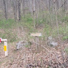
The FKT GPS shows the route starting just a little way up the road, but I started mine right after you cross 72.
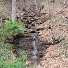
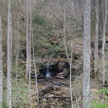
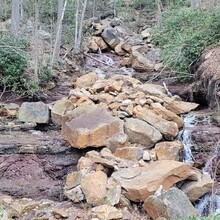
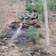
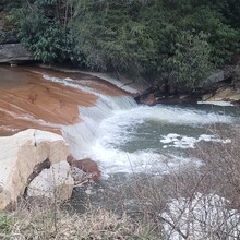
The first section is about 2.2 miles of dirt/gravel road. The road itself is kind of meh, but the stream on the right and the waterfalls on the left create a nice scene. It starts pretty flat and then eases into a slow, gentle climb that continues most of the way to the end.
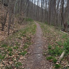
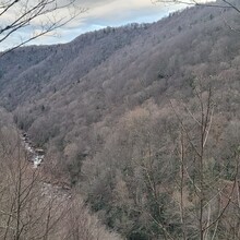
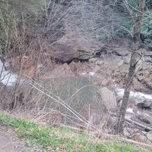
The second section is the main stretch of singletrack. It’s very well maintained and very runnable. Towards the top there are some great overlooks of the stream and falls.
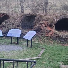
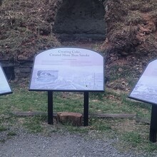
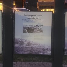
The third section starts after the falls at the top. It’s a couple miles on another pitted-out gravel road and honestly kind of a drag. There are some historical signs regarding some old coke ovens, but I just kind of glanced at them - I was ready to turn around and head back. The last little section runs through a neighborhood and then briefly through a town, right to a little gazebo that is the official trailhead. Just as I reached the town, it got dark enough that I needed a light. So I turned it on and ran back down.
A few notes:
- This whole route is well maintained and very runnable - even the uphill. A real runner could do much better. I pushed for about the last 3-4 miles but otherwise just chugged along.
- I brought 4 liters of water and drank about 2.5. There aren’t many water sources along the way - except right at Hendrick, the river is far below the trail. And the waterfalls on the other side are not particularly close.
Distance: 20.93 miles
Elevation: 1,191 feet
Moving time: 4:35:39
Elapsed time: 4:35:50

