This was the second of three routes I did on April 14, 2023. The linked race report has all three routes.
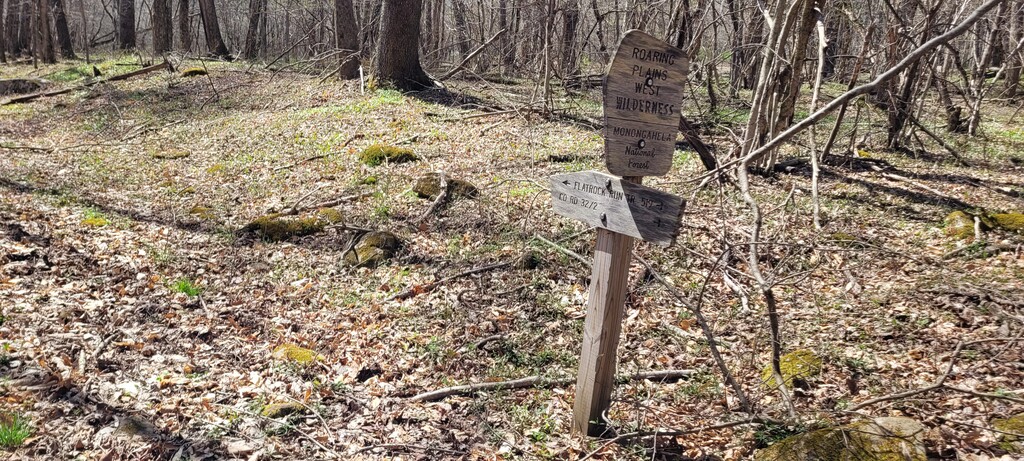
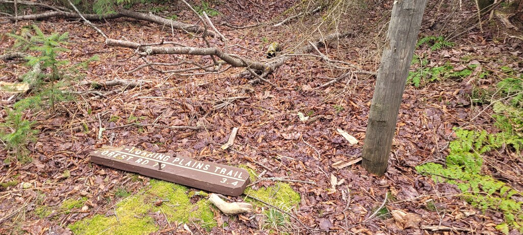
The trailhead is just a short way up the road from the parking lot. It starts as a right-of-way through private fields, then opens up a bit. The first section is a long slow climb that is very runnable if you are so inclined (I was not). It’s a little muddy with a lot of streams crossing the trail, but you can work around a lot of it. There is a
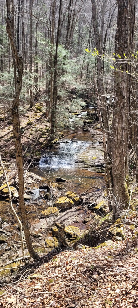
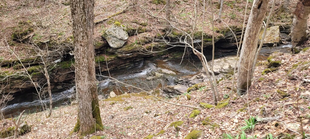
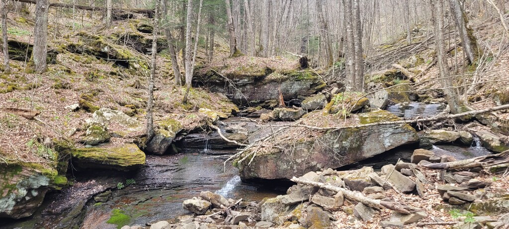
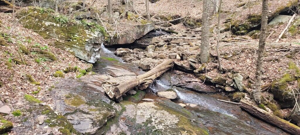
The second section has two long switchbacks that pass some waterfalls. This is still pretty runnable and well maintained. At the point where you cross the stream, the rocks are extremely slippery - there is a log pinned into place that is worn smooth but still has more traction than the rocks.
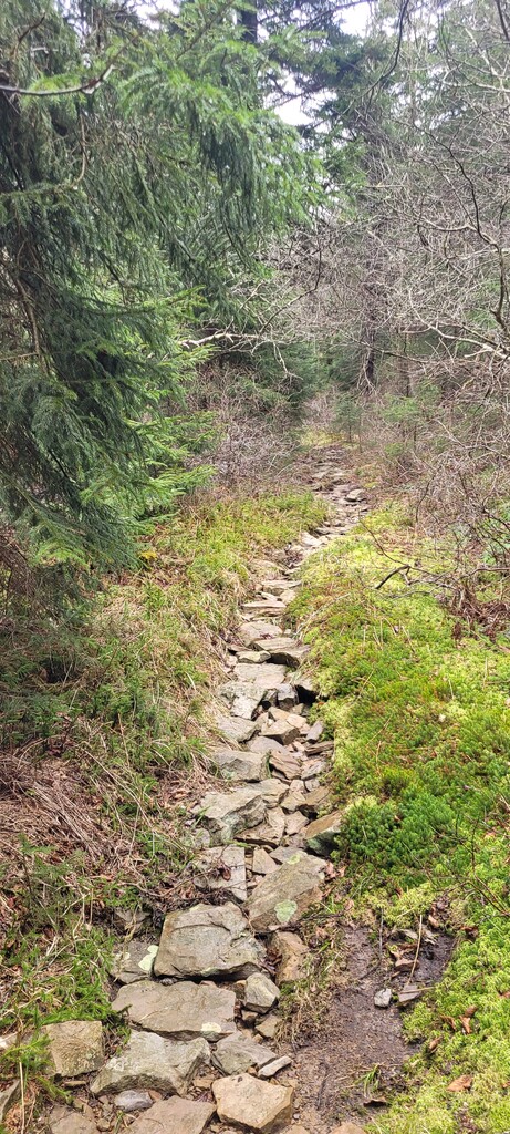
The third section is a steeper climb with some shorter switchbacks, or sometimes just right up the hill. This part is a little rockier and rootier, and one of the switchbacks is eroding pretty significantly.
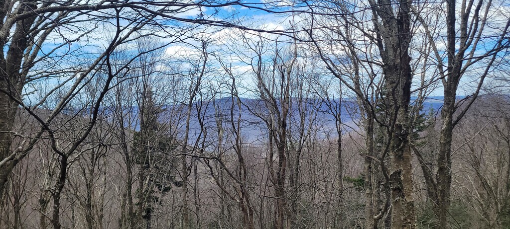
The fourth section starts from the last switchback and is a slow climb around the top of the mountain to the point where you leave the trail. This is also pretty runnable and well maintained.
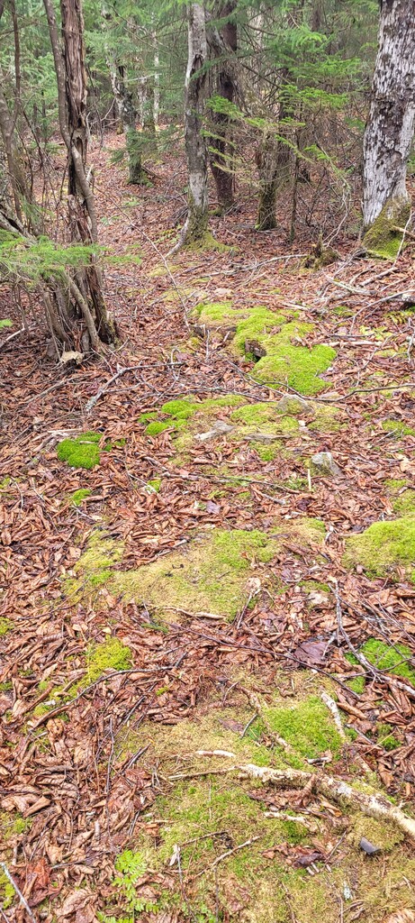
The fifth section starts where you leave the official trail. There is actually an old trail here that the GPS track is following. There are some downed trees that make it hard to see the old trail right from the point where you are leaving the official trail, but it’s there and once you’re on it it’s pretty easy to follow.
The sixth section is about halfway from the start of the old trail to the peak. The trail gets narrower and a little harder to follow. The GPS track does a pretty good job of staying on it, but I still found myself losing it at times due to downed trees or overgrowth.
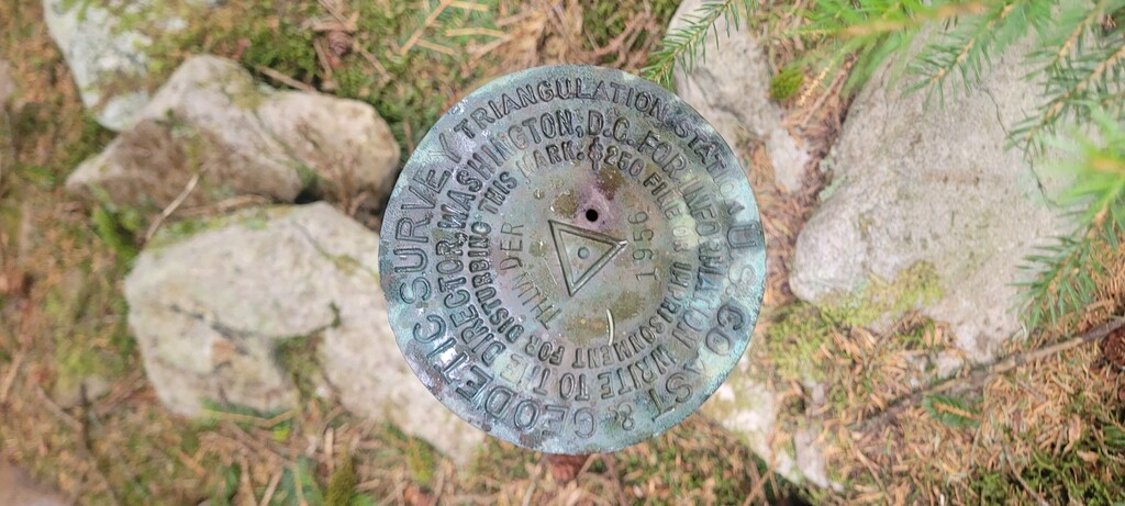
The last section enters a beautiful old growth section. The trees are incredibly dense - just a few inches apart in many places, with downed trees creating almost impassable obstacles. The trail actually continues through here, though it’s so narrow and faint it can be hard to stay on it. Initially, I was trying to stay right on the GPS track, but at times it seemed to lose the trail (or maybe the trail disappeared). Eventually, I just took a bearing for the end point and headed in that direction. Low and behold I found the trail again just before getting to the peak marker. There are some fluorescent ribbons in the trees here, so you can see it from a little bit away. Heading back, it was a little easier to follow the trail and to course-correct when I lost it..
A few notes:
- I hiked pretty much the whole way up, so there is a lot of time to be gained there. I ran easy most of the way down, except for the steeper switchbacks where I hiked.
- I brought another 4 liters of water here and drank a little under 3. There aren’t a lot of water sources except the big stream crossing.
- The old growth section at the end is stunning. I kind of wish the trail were a bit more defined to limit the disturbance of people coming through. Once you lose it, it’s not really possible to move without breaking branches because the trees are so close together.
Distance: 12.74 miles
Elevation: 2,333 feet
Moving time: 3:39:14
Elapsed time: 4:32:13