

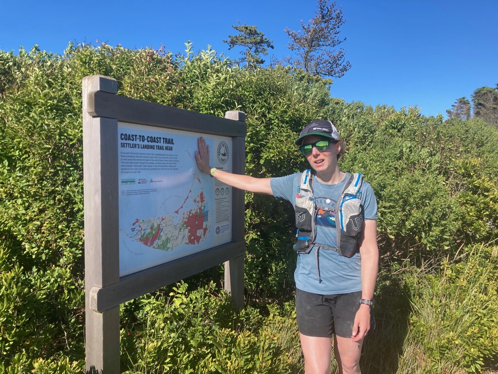
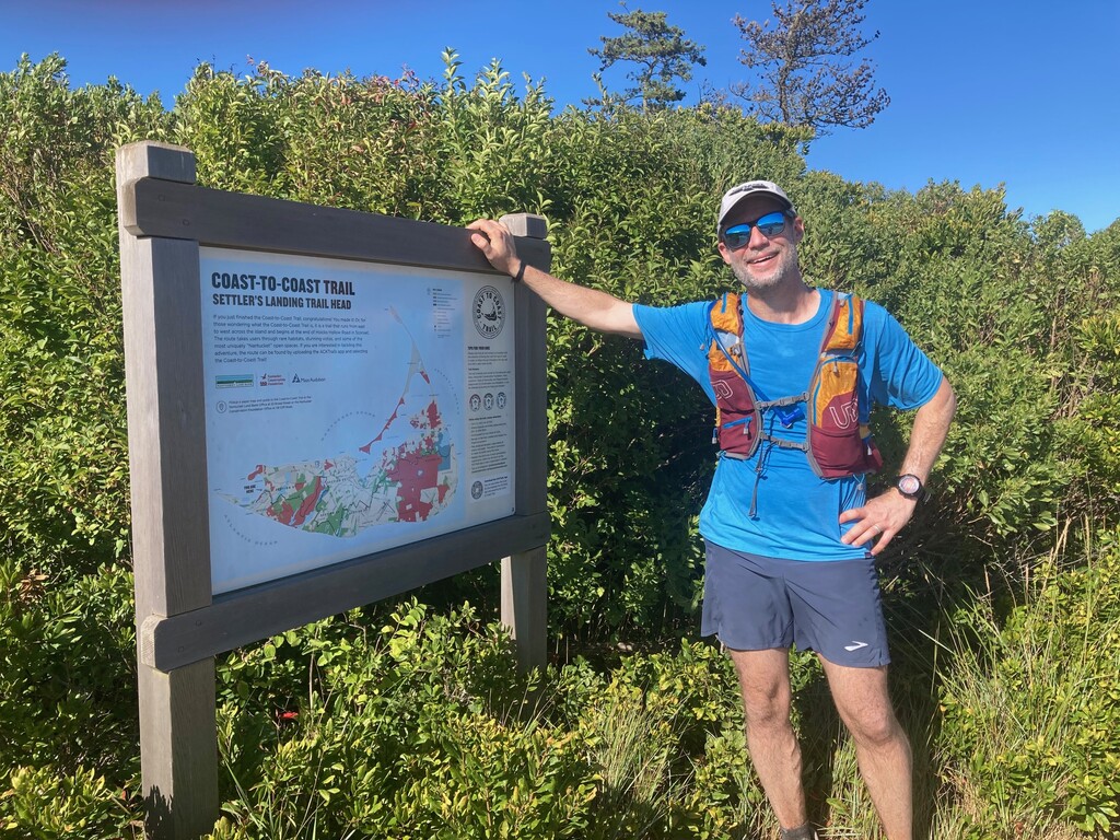
The Nantucket Coast to Coast Trail hasn't been around for very long - at least in its fully connected form - and not many people have completed it on foot in a single push yet, but it is a pretty spectacular way to experience the island in a way that most people never will.
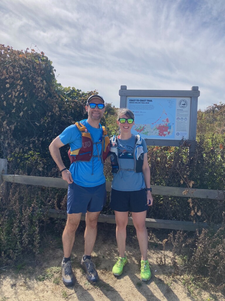
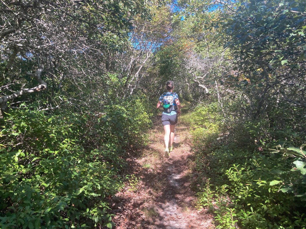
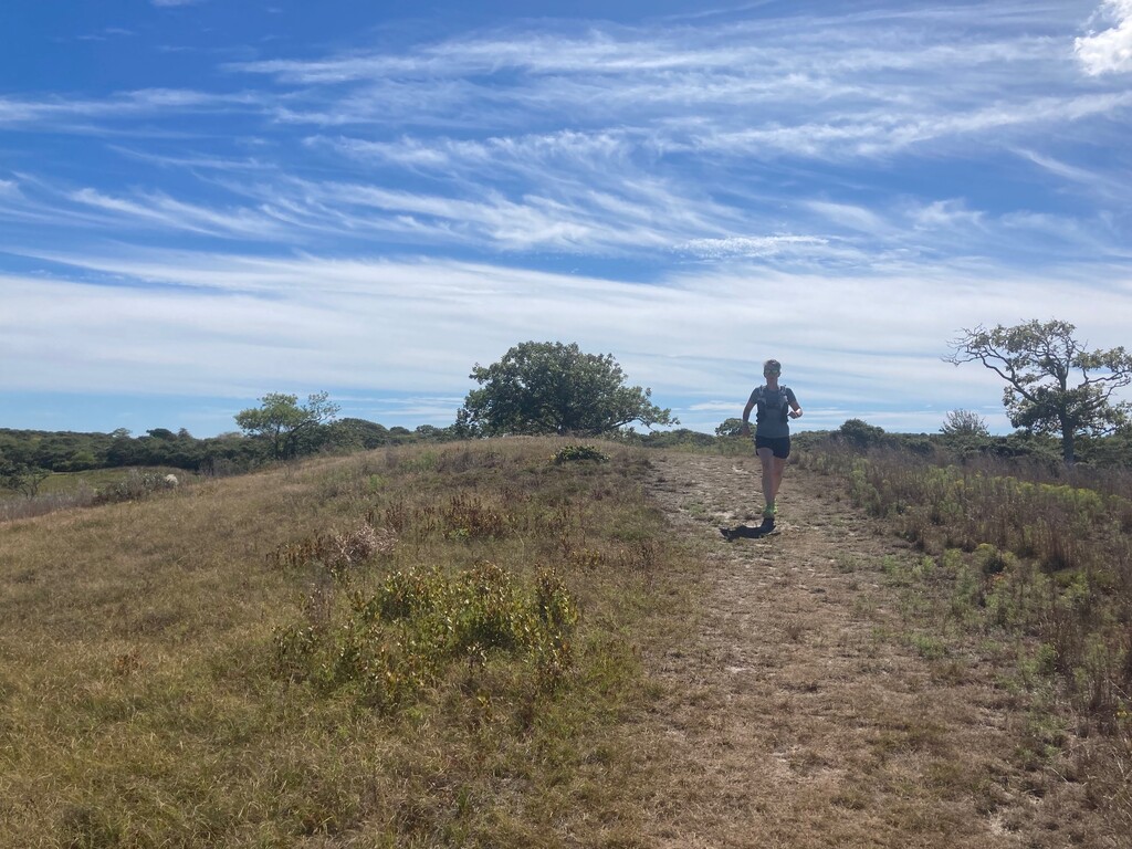
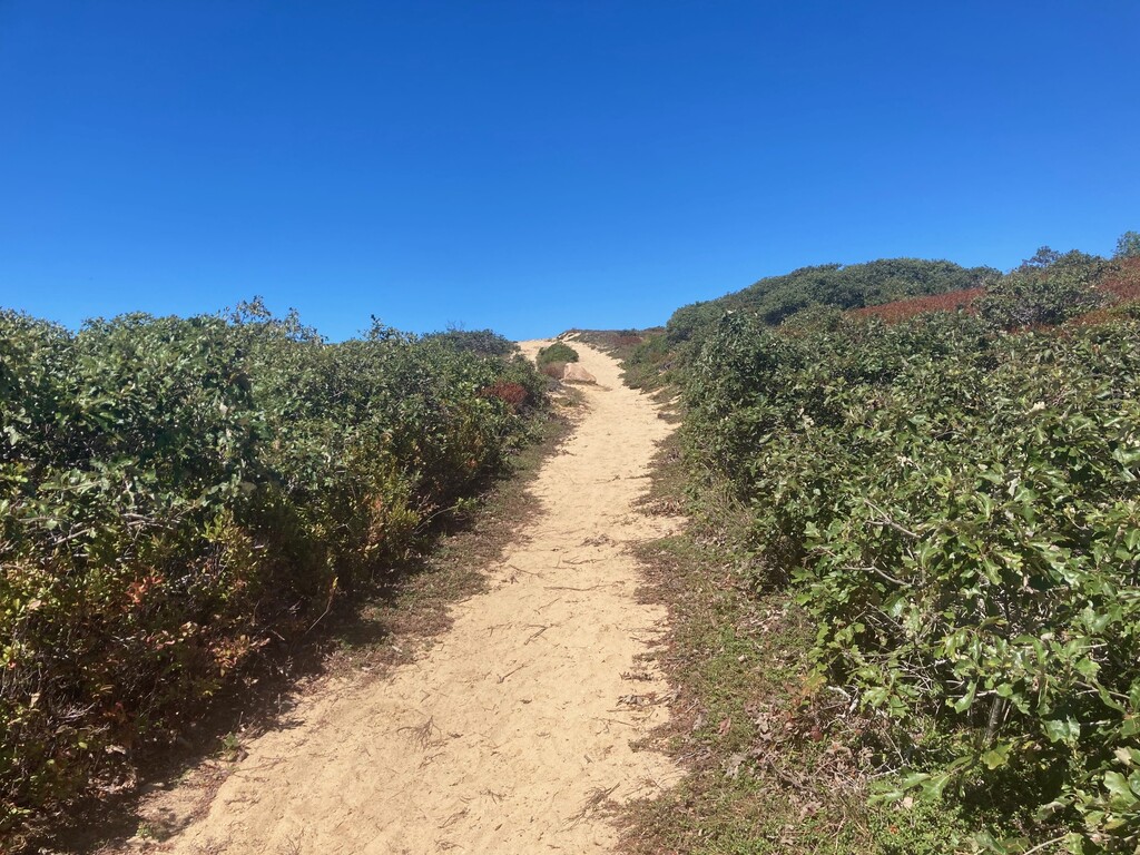
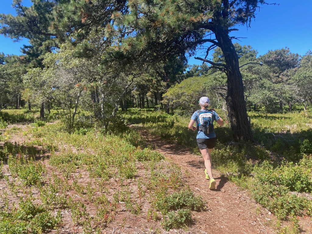
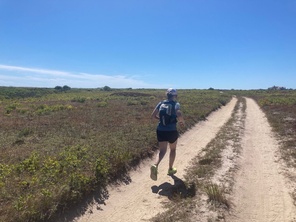
We took an Uber to the trailhead on the eastern side of the island, just north of the Sankaty Head Lighthouse. We departed at 10:36 a.m. and began our cross-island journey. The route took us on varied terrain that snaked through many of Nantucket's conservation lands, with only a few sections of bike path or paved roads. We were fortunate to have a gorgeous day. It was 70 degrees and sunny at the start and warmed to the mid-70s in the afternoon with a breeze that we were able to enjoy for much of the run. We carried all of our fluids and snacks. We only refilled water once, at the public water fountain at the playground that the route passes about nine miles in. It is the only spot directly on the route where you can fill up from a free public tap.
The route is marked very well throughout, either on wooden posts, street signs, or trees, though you have to pay attention to spot some of them as brush or grasses were obstructing a few of them from a clear sight line. The ACKTrails app was helpful, and we stopped several times a tricky intersections for a confidence check. We also took several breaks to reapply sunscreen as the majority of the route offers little to no shade.
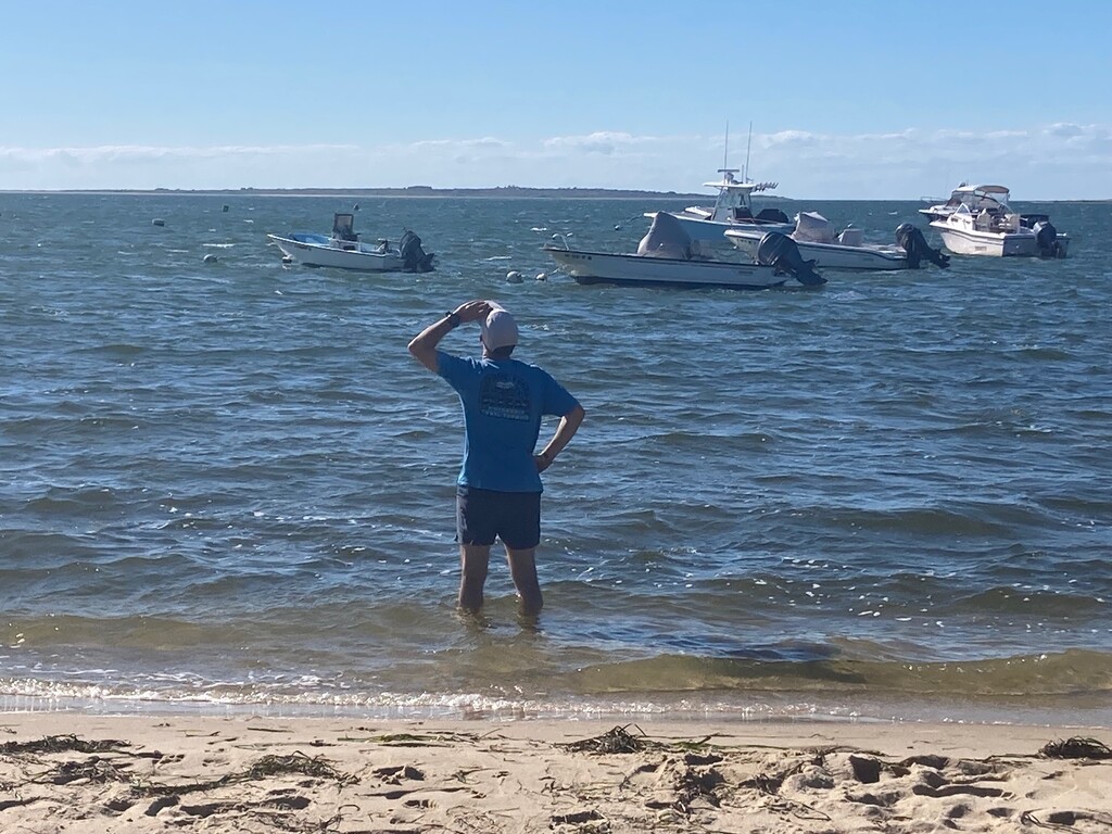
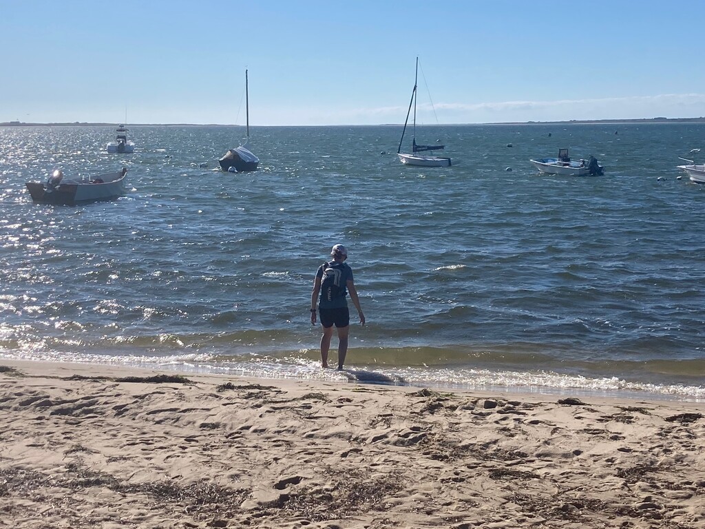
The final mile felt extra long as it took us on pavement most of the way to - and past - the Madaket Marine area and on to the finish just a short walk from the beach. A wade in the ocean was a perfect way to ice the legs after a long day.