




Every time I think about the Chuck Keiper Trail there is a feeling of both awe and respect. The awe is a pretty easy one to understand. Remote, wild, rugged, technical, steep, wet, scenic, pretty, and sometimes it can even be called ugly. Those and many more adjectives can be used to describe this 50 mile stretch of earth and the places is passes through, that add up to a sense of awe when thinking about it. Respect is a bit more personal. Some may find it weird to have respect for something like a trail. Those who have spent some time on this trail, whether hiking or running, probably understand the feeling. Not much comes easy.
I have done a dozen or so training runs on the Chuck Keiper trail over the last few years. I can get there in 40-45 minutes from home, and it is the closest place to home to get a bunch of elevation change without repeating the same stretch of trail over and over. All of my previous trips to this trail were to use it to train for a destination somewhere else. Mostly races with lots of elevation gain. The roles reversed and finally, during this training cycle all of my training was for a destination called the Chuck Keiper trail.
Traversing this whole trail faster than the FKT seemed within the realm of reason for me ever since I first saw the record on the website listed at just over 14 hours. A lot of other FKT’s I have looked at and thought it’s just not possible for me to beat that time, ever. But this one… just maybe I could do it. Maybe it’s some kind of karma that this is my favorite trail and there was a time within reason. I don’t know when exactly, within the last year sometime, I decided to give the FKT a shot at some point.
It wasn’t even a question - I knew that I was going to attempt it unsupported. This was going to be about the trail and me. No support from others. No self-support measures. Everything I leave the truck with is taking the entire ride and coming back with me except some body fluids, which includes a lot of sweat and maybe some lost blood.
For many months I ran through every possible scenario in my mind to come up with a game plan. Which direction, which loop first, what time of year, what time of day to start, what gear to take, how much fuel to take, how to consume enough electrolytes, where to get water, where to start/finish, and on and on. The plan I came up with was worthy of being proud.
Start location would be at the Fish Dam overlook parking lot. This is right beside one of the 3-way trail intersections of the figure 8. It would give me the best bailout option if I absolutely needed it. An added bonus is a nice porta potty, the only public restroom on the trail, that I could use before getting started. I would do the East loop first, going clockwise, then progress into the West loop going counterclockwise. I had a lot of reasons for doing it this way, but the most basic explanation is that I get most of the toughest trail and elevation change done in the first 2/3 of the run and save the easiest stretch for last.
I decided to plan on a 13-hour finish time, to have a bit of buffer in case I fell behind a little. I planned for how to approach 3 segments of the trail differently instead of just thinking of it as the 2 loops. I like to use round numbers.
Segment 1 – East Loop – 22 Miles - Target time 5.5 hours
Segment 2 – West Loop North Part – 15 Miles – Target time 4 hours (hardest segment)
Segment 3 – West Loop South Part – 16 miles – target time 3.5 hours (easiest segment)
Three weeks before the full attempt, on September 26, 2026, I did a “dry run” of the east loop as both a big training run and also to simulate the first part of FKT attempt. I did everything exactly as I had planned for the full FKT, to resolve any problems. I started at 5:00 am, with 2 hours of night running with headlamp. Navigating for 2 hours in the dark without losing the trail was the part I was worried about the most. I gained a good bit of helpful information on that practice run. A few missed turns that I wouldn’t miss again. A good look at the (rough and vegetated) trail conditions. A good idea where I needed to get water. When I would want to deploy the trekking poles from the trekking pole quiver on my back and when to keep them in the quiver. It also gave me a good sense of how hard I needed to push to get that first loop done in 5.5 hours to stay on pace to make my overall goal time.
After the East Loop training run, since there was no FKT established by anyone for the East Loop and it was already a route listed on the website, I submitted that effort and got my first FKT listed on the website. Chuck Keiper Trail East Loop, 5:29:XX on September 26. Nobody has ever established a FKT of just the West Loop yet. It’s roughly 31 miles.
I chose mid-October for several reasons. I am not fond of running in tall vegetation and not keen on watching for rattlesnakes every second of the run. This trail has plenty of both between May-September. By mid-October the first frost has come, killing off vegetation and leaves while sending the rattlers back to their cold weather haunts. The days are still decently long, not too terribly cold, and it is before the weeks when I prefer to spend my free time out in the woods with a bow and arrow in hand. October 17 is my daughter Maddy’s birthday. It is a Saturday this year, and Maddy had birthday plans with her boyfriend all day so we did her 19th birthday celebration at home the night prior. She confirmed those plans well in advance, so the 17th was open and locked in as the day I would go.
After all that planning, October 17th arrived. 3:30 am, out of bed. 25 minutes later out the door with a big cup of coffee. I had everything ready the night before to make the morning a no stress and no delay matter of getting out the door. 45 minutes later, pull into the parking lot. It was raining a little more than a drizzle. It rained a lot yesterday, but today it wasn’t supposed to. Some brief despair. I refuse to look at the weather now though, it doesn’t matter. I temporarily parked beside the porta potty at the parking lot and darted through the rain a few steps from the truck to get to it. I made good use of the porta potty as planned, darted through the rain back to the truck, and pulled the truck down to the last parking spot with one of those rubber bumpers in front of it.
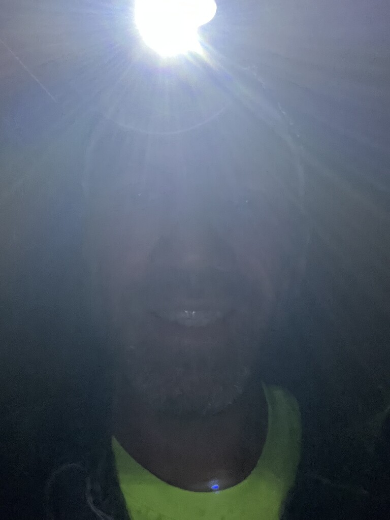
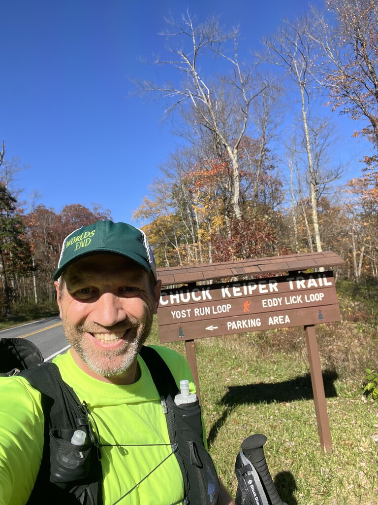
I stepped back out into the rain. I stretched with a heavy jacket on and kept it on as long as possible before I needed to put it in the truck and put my vest on. It was pretty windy too, and this rain and wind was cold. I briefly considered putting on my running rain jacket that is packed in the back of my vest but decided against it since the rain is light. I’ll warm up quickly, I thought, and if it starts raining harder I could get the jacket out and put it on over the vest. I turned on my Garmin Inreach and put it in the back of the vest. It was set to send a location every 10 minutes. My wife Jessica was the only one that had the information to follow my progress. Locked the truck, stashed the keys, snapped a headlamp distorted selfie, turned on the Gaia tracking on my phone, turned on the tracking on my watch, tapped the taillight of my truck and headed off into the night at around 4:55 am.
I wasn’t out of the parking lot 50 steps and my feet were wet from the soaked grass I was running through. That brief feeling of despair again. 53 miles is a long way to run with soaked feet. A quick thought about bagging it and turning around less than a quarter mile in was quickly dismissed. The weak side of my brain wasn’t going to win any battles today.
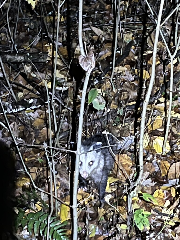
The second mile of the day was the fastest of the day, because it is all dirt road and all downhill. Drake Hollow was a lot muddier than a few weeks ago but was still a much more pleasant experience this time around. A new pair of running pants worked great and no gunk from the vegetation stuck to my pants this time. I saw a mouse a few yards away and got a picture of his rear end as he crawled under a log. A few miles later I saw eyes on the trail ahead. They didn’t move and when I got close a small possum just sat there watching me. I got his picture also. Mouse and Possum, one rodent and one rodent-like - the only wildlife pictures on this day.
The first big climb is after crossing route 144 the first time. It wasn’t bad physically, but some owls were making some really creepy non hoot noises on both sides of the hollow that made me feel like they were warning me. Wildlife doesn’t usually creep me out but for some reason I was glad to get the heck away from those noises.
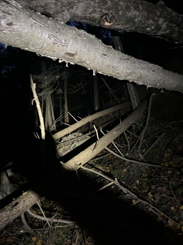
Next, it was into Boggs Run. After about a mile into this hollow it got really rough a few weeks ago and I was prepared for a frustrating 2-mile stretch. It was rough going, but better this time around. Briars, thick vegetation, lots of blowdown large and small, shoelace catching sticks, slippery sidehill, all in the dark. It was about perfect timing, as I rounded the corner at the bottom of Boggs Hollow it was daylight enough to shut off my headlight. If I needed to turn it back on during this run, I was not finishing before 7:00, would not be under 14 hours, and would not be happy about it.
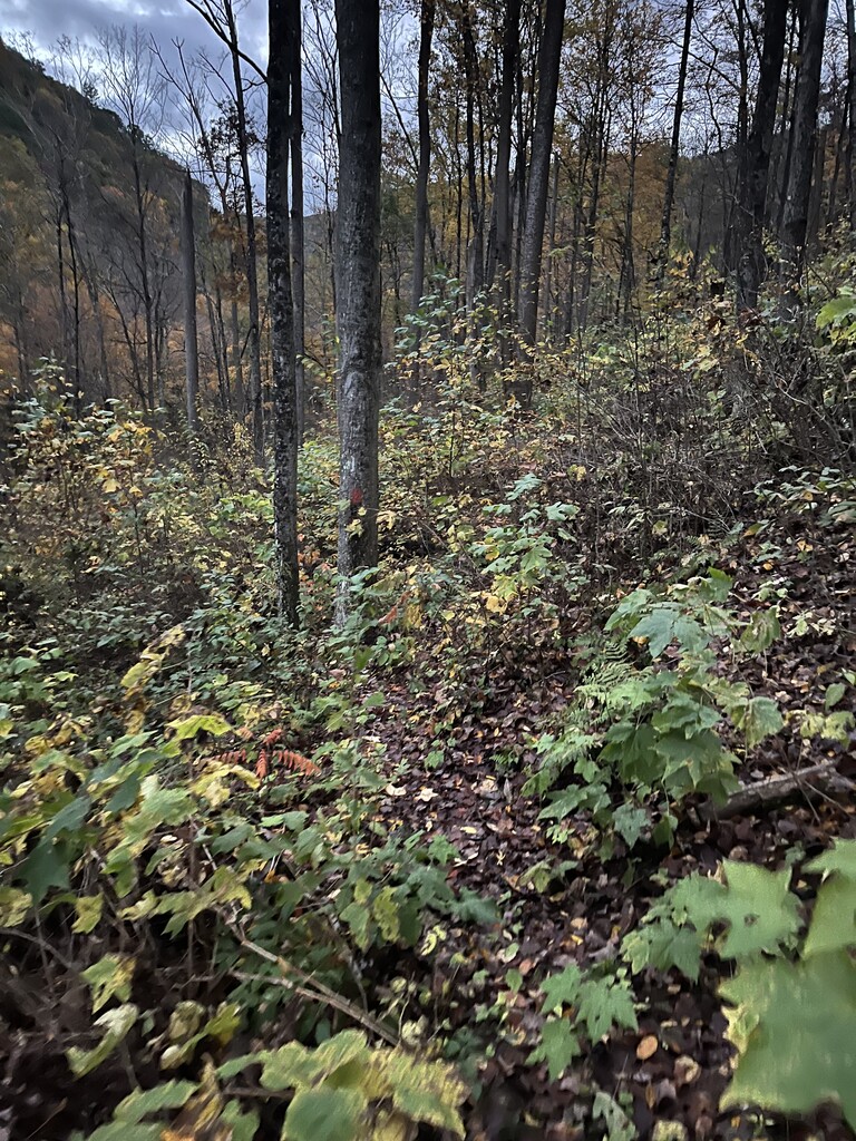
About halfway up the other side of Boggs I looked around and realized how pretty the woods looked today with yellow leaves covering the ground and still in some trees. I looked up to the left and the top of the ridge was way up there, probably over 1000 feet in elevation higher than where I was now. It made me feel small but also privileged to be out here. The feeling of gratitude and this adventure being a privilege came over me several times the rest of the day. I was so grateful to live in a time and a place in the world that I could go out and run 53 miles in the mountains. Grateful for the desire and physical ability to run. Grateful that I don’t have to physically drain myself at work and get to work in an office, so that I can instead use my energy to run and do other things I enjoy.
A long grueling climb brought me out of Boggs Hollow and across Grugan Road. I cruised the mile or so of Sled Hollow, in its course seeing the only deer of the day, and shortly afterward going past a camp with smoke coming out of the chimney, the habitants likely out hunting. After the camp a little bit of dirt road follows, then probably the steepest climb on the Chuck Keiper trail in either direction is a little after leaving the road. The trekking poles were welcomed for the third time today on that climb. After the top of that one it’s less than a mile to another steep, but shorter climb just after crossing Cranberry Swamp. I kept the poles in hand until that climb was also over.
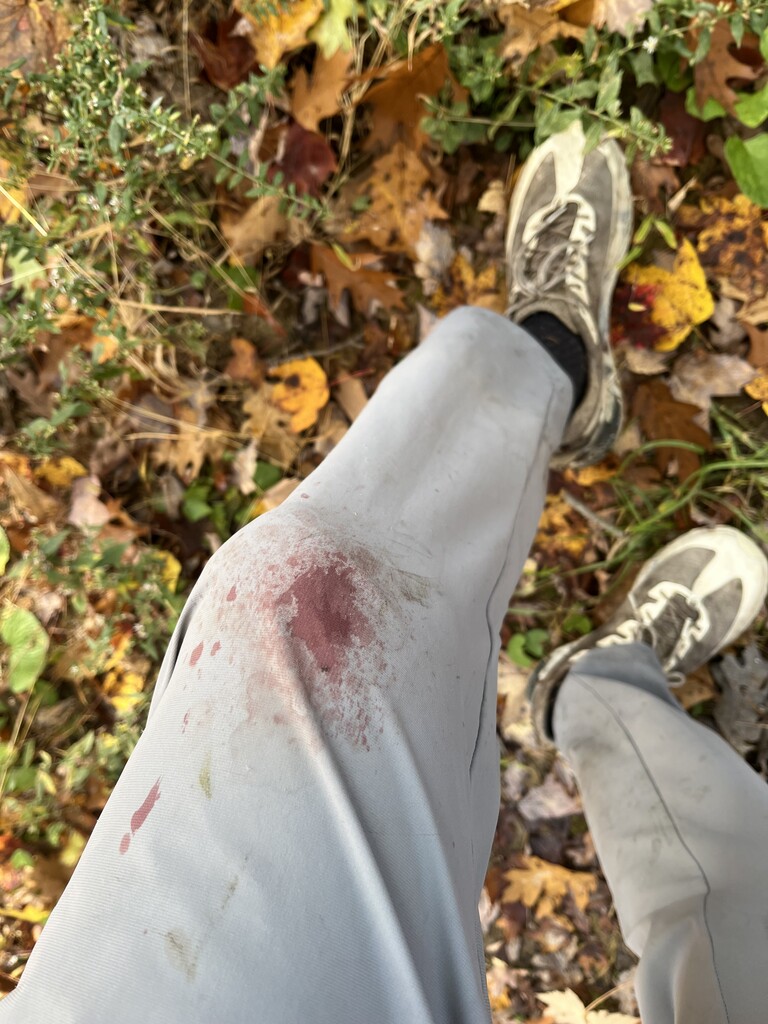
Not long after that I stopped for a quick restroom break and noticed my grey pants had a bunch of blood spattered on the front of my left knee. Pulling up the pantleg revealed a tiny slice that was bleeding more than it deserved. I don’t know what happened or when, probably a briar in the tangles of Boggs. Having spilled some blood today, it was only appropriate to snap a picture of my pants, which looked way worse than the wound they covered.
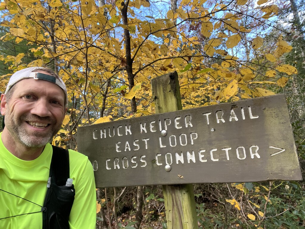
The next few miles were uneventful, and I reached the junction with the cross connector, knowing there was 5K left in the East Loop segment. I said out loud “see you in 8 hours or less” speaking to the wooden sign there before I snapped a selfie with it. I would pass this point again at around the 50 mile mark, and re-enter and duplicate the entire length of the cross connector to the finish. The first mile on the cross connector has a lot of rigid, embedded, low, protruding rocks. None are loose, none stick up very far, and the leaves obscured them. They were tough to run on and required a good amount of focus on each step. After hitting Coon Run Road, and re-entering the single track, the trail is much easier to run on and time went quick. An ugly short climb through chest high weeds at the end of the cross connector led to the top of the hill. A brief thought that I could quit now and nobody else in the world would think any less of me was quickly dismissed. I pulled out my phone, waved to my truck 100 yards away with my left hand, and snapped a picture of it up there with my right hand. See you later today I thought. Segment 1 done, with elapsed time of 5:20. Mentally it felt great to have 10 minutes in the bank, but physically I was feeling pretty fatigued. I hoped the fatigue wasn’t sticking around this bad for the long haul.
Into the west loop. The next 15 miles are the toughest terrain on the trail. The first 2 miles aren’t bad, and then you turn down into Fish Dam hollow and life gets real. Not long after heading down into that hollow I heard some whistling and after a few seconds of confusion saw two hunters on the trail up ahead, the first two people of the day. A guy and his young son bowhunting. The kid was 10-12 and was blowing some kind of whistle lightly, probably getting bored. Definitely not a hunting call. He reminded me of my youngest daughter Lilly who likes to go hunting with me but gets bored quickly and would probably be blowing on a whistle if she had it in the same situation. I quietly asked “seeing anything?” guy says nope. I whisper “good luck, have fun” as I went by. Guy says thanks buddy with a smile.
I ran fast down the hill, slipping and sliding on loose rocks and leaves, but having fun. Fatigue is fading, maybe from the mental change of having brief human contact. At the bottom, I filled up my liter Befree filter bottle out of Fish Dam Run. Last time I filled up out of this stream was in February on a day that was below zero, and my fingers were froze after getting them wet filling up bottles. This time the fill up was pleasant. I headed up the first of 3 brutal climbs in this segment, a side hollow from Fish Dam Run. About ¾ of the way to the top I hit the 26.2 mile marathon mark. I did as I always do nowadays, no matter the situation, any time I reach that distance I yell out loud “woo-hoo!”
After the top of that climb it’s maybe a mile of running a bit of flat, a bit of dirt and grassy roads, then back down the next hollow, this time into Ju Branch. Ju Branch is nice trail, which is carved well into the sidehill making it nice to run. It goes a nice way then you cross it before entering the main drainage of Burns Run. Once into Burns, it’s a tougher proposition. The trail is all sidehill, high above Burns Run. Some places it’s cut into the sidehill nice, some places you’re slipping, sliding, and causing loose rocks to roll down the steep hillside. It’s net downhill, but it is still tough running with lots up ups and downs along the way. Finally at the bottom it takes a steep plunge down to cross Packer Fork just before that stream flows into Burns Run.
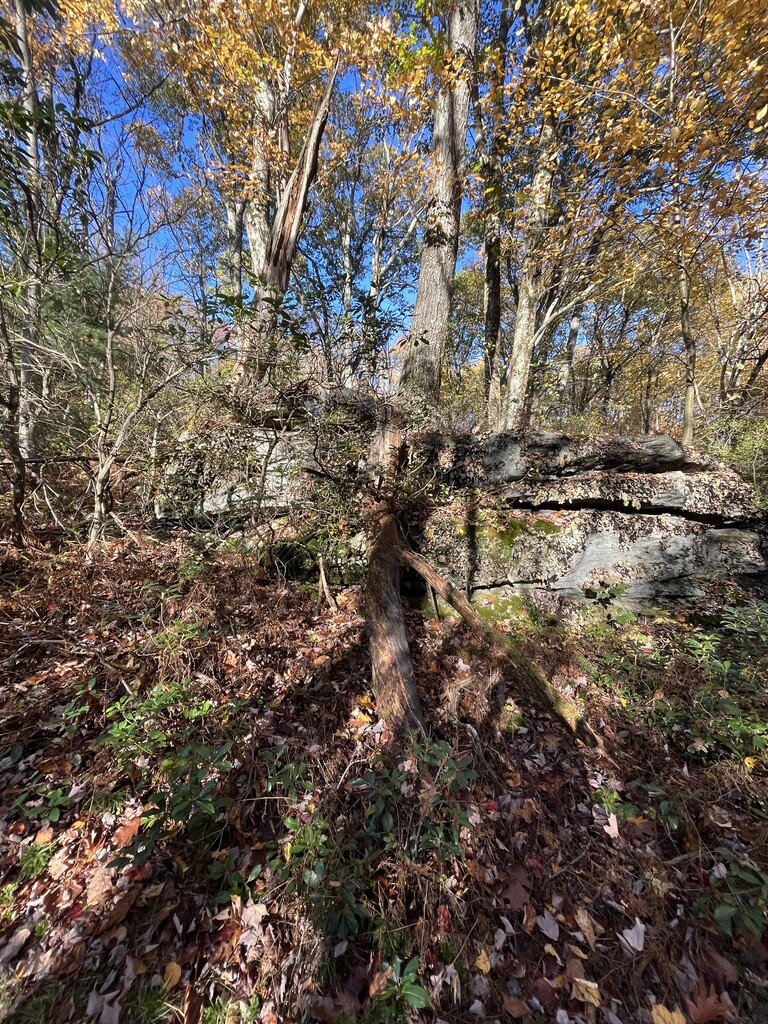
Just past that spot is the coolest looking campsite on this trail. I have wanted to camp there and definitely will someday. I snapped a picture of the campsite from the trail and kept going. A little way further is the toughest stream crossing of the day, and the only one I was slightly dreading. Last time I crossed here it was solid ice on that cold day in February, but other times before that I got soaked. This time, I had good fortune. The stream was low and there was a big log jam that I walked across without getting wet.
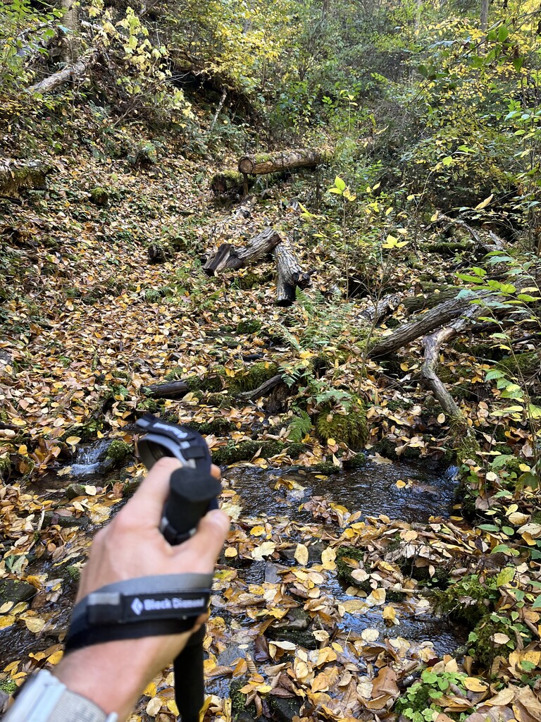
Next up, the climb up Owl Run Hollow. Many times when I think about the Chuck Keiper trail, this hollow is the first place to come to mind. It’s 1100 feet of gain in roughly a mile, criss crossing the stream several times. It’s a pretty place, scenic, wet, rugged, remote, and many other things. After you get past the water of the hollow, it gets quiet, your legs are dead, and then it gets even steeper and makes you pay for every foot of elevation gain. When you get to the top you can’t be blamed for calling it ugly. At the top that was just how I felt about it. Man, was I into some serious fatigue. I felt some after the last few climbs that didn’t last long after getting on flat and downhill, but this one felt worse.
About 10 minutes later I felt fine.
I passed a camp with some people in the yard playing cornhole with their kids. They looked at me as if I were the Unabomber, and I said hello with a smile as I ran past. That led to a long downhill along a branch of Yost Run. This is a steep and rugged section of trail, and a tough downhill. My quads were starting to feel rough here. I was about out of water but figured I would fill up where the trail crosses this stream at the bottom. Once at the bottom I was astonished that the stream was dry, when it had been running well further up the hollow. Must go underground here. I made the turn into the main drainage of Yost Run. I knew the trail was high above the stream on a sidehill but didn’t realize I wouldn’t come near the water for probably 2 miles. That 2 miles was a total drag. Sidehill, up and down but not close to the stream, more sidehill, no water to drink. Finally, the trail came down close to the stream and I filled up. The water tasted great. The trail then went back uphill and I saw people heading the same way as me. Not long later I came up a little way behind them and announced loudly “coming in behind you!” I said hello and they didn’t appear to be impressed with being startled by some hotshot trail runner miles from their car.
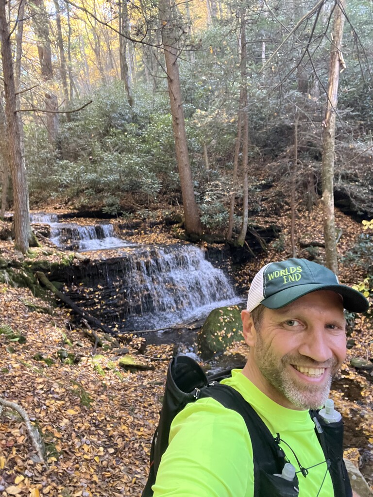
A little bit later I heard kids yelling. I came upon a family just below Yost Falls. The guy asked if the trail made a loop to get back to their car at the Yost Parking lot as I stopped beside them out of breath, welcoming an excuse to stop a second. I said yeah, it’s over 6 miles total to do the loop. I gave them instructions and emphasized the big hill they had to climb. The guy said “we already have 1.5 miles done, but that doesn’t sound like much fun” and the lady followed with “maybe we could” as they headed further down. If they went for it they probably had an unpleasant day – that is a rough loop and I would not want to take kids that age around it. A few minutes later I regretted not taking another minute to emphasize to them how tough it would be. A few steps further I took a selfie with the waterfall. Then it was a long dirt road climb, with the trekking poles in use, to reach the Yost Parking lot at route 144.
Crossing route 144, end of second segment, total elapsed time 9:28 – still 2 minutes in the bank. Once across route 144 and out of sight of the road, I took a quick planned break. I found the perfect branch to hang my vest at face height and took everything out of the back compartment and laid it on the ground. I used the Inreach and sent a canned message “I’m checking in, everything is OK” to Jessica. She immediately replied with an “I love you.” I retrieved all my trash wrappers from fueling out of my “trash pocket” on the vest and into one big ziplock, put that in the back, put the bag of new fuel items from the back in a side pocket, put my beanie cap that I didn’t use today and my headlight from my front pocket both into the back, checked battery on my phone which was on airplane mode– all good and no need to keep out my charging bank that’s been in the back, put my emergency gear and jacket back in, stowed trekking poles back in the quiver, put the re-organized vest back on, and hit the trail. I burnt 6 minutes with that much needed stop and now was a few minutes behind.
I ran hard for the next few miles which was all nice and mostly downhill. I got to zone out a little and think about things other than where my next step was landing. I thought about Jessica and wondered if she was enjoying any time outside right now. I thought about my oldest daughter Morgan who’s been out of the house for a few years and no doubt out riding a crotch rocket today, worried that the next time she wrecks she won’t just walk away with road rash. I thought about Maddy and hoped her busy birthday was a fun time. I thought about little 9-year-old Lilly, the only daughter that likes to go trail running, but hasn’t been able to lately because of an ankle injury from playing soccer that is hopefully almost healed. And I thought about my parents, brother, sister, and their families who were all together with us for a week in Acadia back in August, such a fantastic week we all had.
Once turning out of Eddy Lick Run, the grind really started. I knew that most of this last 16-mile segment would be more defined by fatigue and grinding than by terrain. First a steady, long, low grade uphill. I got into a rhythm, run 50 steps, walk 50. Over and over. Then I did some run 75, walk 50. Then run 50, walk 25. It was not much fun, but it was productive and was also passing the time a little more quickly. That got me a mile to Dehaas road. I crossed it, ran another mile or so, then hit another steady, long, low grade uphill. This one lasted forever. This time I started with run 100 steps, walk 50. Then it went to run 125, walk 50. Then run 150, walk 50. These are the things that cause nightmares of the same occurrence repeating over and over again. Sometimes I would forget my count. Sometimes my mind would wander and I would accidentally quit counting while I was walking and then snap out of it and wonder how many stinking steps did I walk? It’s funny, that didn’t happen a single time I was counting running steps, only walking ones.
Once that grind was done there were a few more miles of trail before the cross connector. I crossed a few dirt roads and ran a nice long downhill stretch. This was the least technical stretch of single track all day. The trail was wide, clear, and all gloriously shallow downhill. Somewhere in that stretch I started getting the sensation of wanting to vomit. With only 5 miles left I consumed my last fuel of the day, a clif-blocks with caffeine. I had fueled every 2 miles all day and only missed one time, but my stomach was in revolt and I decided that I didn’t need to eat again. Every sip of water until the end brought back the vomit sensation so I limited drinking as well.
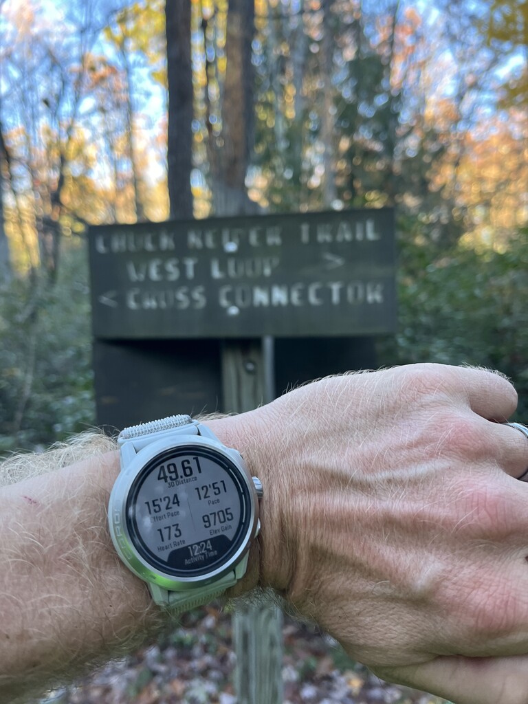
At the short downhill before the cross connector I was elated. Only 5K to go. A minute later I looked at my watch and took a picture of it with the cross connector sign behind it. 12:24 elapsed. If I could run all three miles at 12 minute mile pace, I might make sub 13 hours! After about a half mile of running on those tough to see rocks, I knew I wasn’t making sub-13. I kept pushing though. Once near the swamp a noise and flash startled me and off to middle of the swamp 3 hunters with shotguns were kind of running toward me through the swamp. They didn’t say anything and I didn’t know what they were up to. Weird. I didn’t stop to find out and sped up some.
Once I got to where the cross connector comes very close to route 144 before going back into the woods for its last leg, I decided to get out my trekking poles and just power hike the rest of the single-track trail up to the end of the cross connector, which is all uphill. I wasn’t making sub 13 anyhow, and running the last half mile instead of power hiking might cut 2 minutes. I’d rather power hike it with a triumphant smile instead of running it up hill in torment after 52 miles on the day. Once at the top of the hill and to the point where the cross connector comes back to the main trail I dashed across route 144 and went past the last few orange blazes of the thousands encountered today to the long-awaited truck, tapping the same taillight I tapped this morning. I shut off my watch, then the Gaia on my phone, then took off my vest and shut off the tracking on the Inreach. 13:08:41 on the watch and 13:09:08 on the Gaia. I did it. The feelings of elation overcame all of the fatigue and discomfort. Those few minutes I stood there in the parking lot before I crawled into my truck to head home were worth every bit of discomfort over the previous 13 hours.