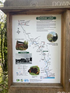
Started in Guildford and ran the route North to South from St Marthas on the Hill to Shoreham-by-Sea.
The first few kms few Surrey Hills were slow going as the single track paths were congested with cyclists, horse riders and other runners enjoying the hottest day of the year so far. After looping south of Chilworth the paths then widen into the old railway line tracks that will be prominent for the rest of the route South.
The tracks cross under numerous old bridges on the way to the first town of Cranleigh. No surprises that an old railway route goes through tunnels and bridges! Just remember to climb the sides of the embankments if you want to leave the route for any supplies.
There are places to stop conveniently and take slight detours to shops at Cranleigh, Rudgwick, South Water and Partridge Green. As well as a tap on the South Downs at Botolphs, so the route is easily completed all year round without having to carry too much. I’d planned to first stop at Rudgwick but ran through the tunnel and missed the place to leave the trail. It was only 10km to the next stop.
You leave the trail paths for a short road section near Christs Hospital at Itchingfield and currently there is a diversion near South Water as they appear to be building what looks like a whole new town along the Downs Link!
The route is far more covered and greener than I expected, and most of the way down to Bramber offers shade and covering on warmer days. Whilst the trail is mostly part sealed and gravel track, there will be sections that will hold water after a heavy rainfall.
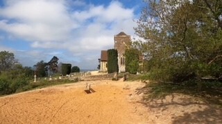
The last few kms along the Adur river to Shoreham-by-Sea offers incredible views of the rolling South Downs as well as fresh sea air and a cooling breeze from the coast.
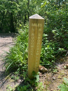
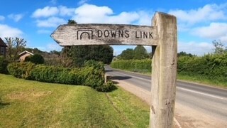
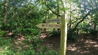
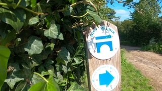
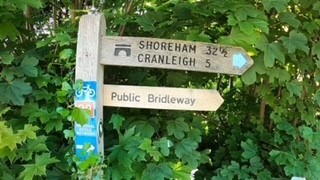
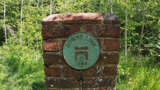
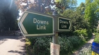
The route finishes abruptly at Little High Street just before the town centre. I couldn’t see any visible markings that the Downs Link was here! Along the route though, besides it being very straight and obvious, there are numerous trail markings with written signs, signs with the Downs Link logo, old stone markings and mile markers indicating how far to the next town and Shoreham-by-Sea.
The route is a great day out and given it is so flat and easy to navigate, could be completed very quickly by someone with speedy legs!