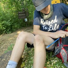
This route is awesome for being so close to so many people. It is shared with mountain bikers as well as pedestrians, but so fun to be on. Really, for this trip we encountered few people due to the forecast calling for thunderstorms. When we started it was sunny and warm, and in the midst of our effort we’re hammered with some rain, thunder and even a bit of lightning. Post storm was entirely pleasant. I'd researched this trail and been on it several times before and knew the start and finish, and was surprised to discover the route was not a registered route.
Planning consisted of map, nutrition and hydration review. Started later in the day at Cabin John Local Park off of MacArthur Blvd. the first few/last few miles were the toughest of the lot because of hills.
The middle of the route and turnaround were smooth and flowing well. Legs and feet felt strong regardless of slightly wet/muddy conditions. Got to meet a fat snake that may have been more stunned by the thunderstorm than we were. Snake would not move, so we moved around it. This was an unsupported attempt. I carried about 2 liters of water and a few snacks. My son carried 2 liters as well as snacks.
We parked at Cabin John Local Park, went north turning around at the northern terminus on Goya Drive to head south back to the car. Hoping to return to beat our own time. Route could be done one way, for 8.8 miles, and can be done either direction. Parking is more limited on the northern terminus due to its location in a residential neighborhood on Goya Drive.

