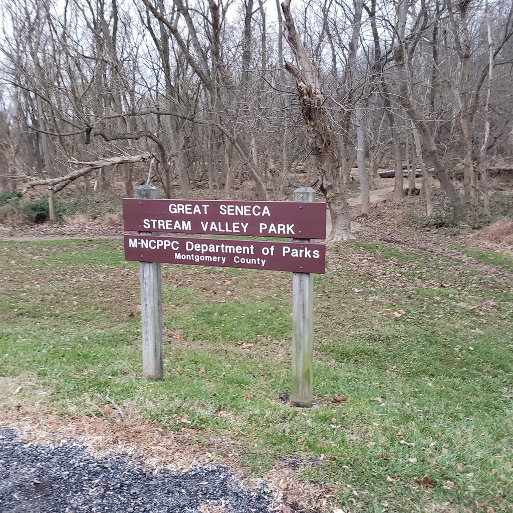

I started in Damascus and ran South-West, which is a net downhill. I parked and started at Damascus High School, which is a little extra distance, but the trail terminates in a random neighborhood with only reserved parking. Parking was much more ample at a high school...on a Sunday...at 5am with some light snow flurries in the air. I started in the dark and the weather was cold, but good for running. Because of this, my 2L bladder was plenty for the duration an I ate mostly gels and one sports bar for the route. I ran fairly easily throughout, but was still feeling it toward the end. I may run this again some point to lower the standard, but I would love to see others attempt it as well.
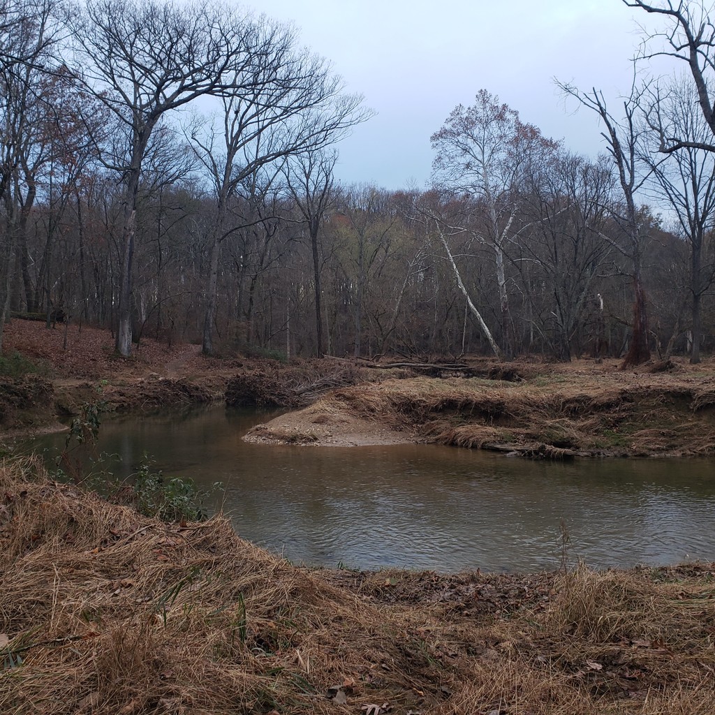
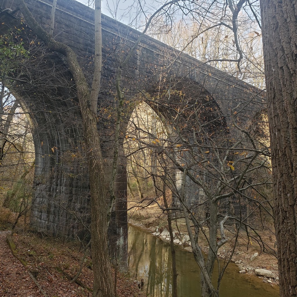
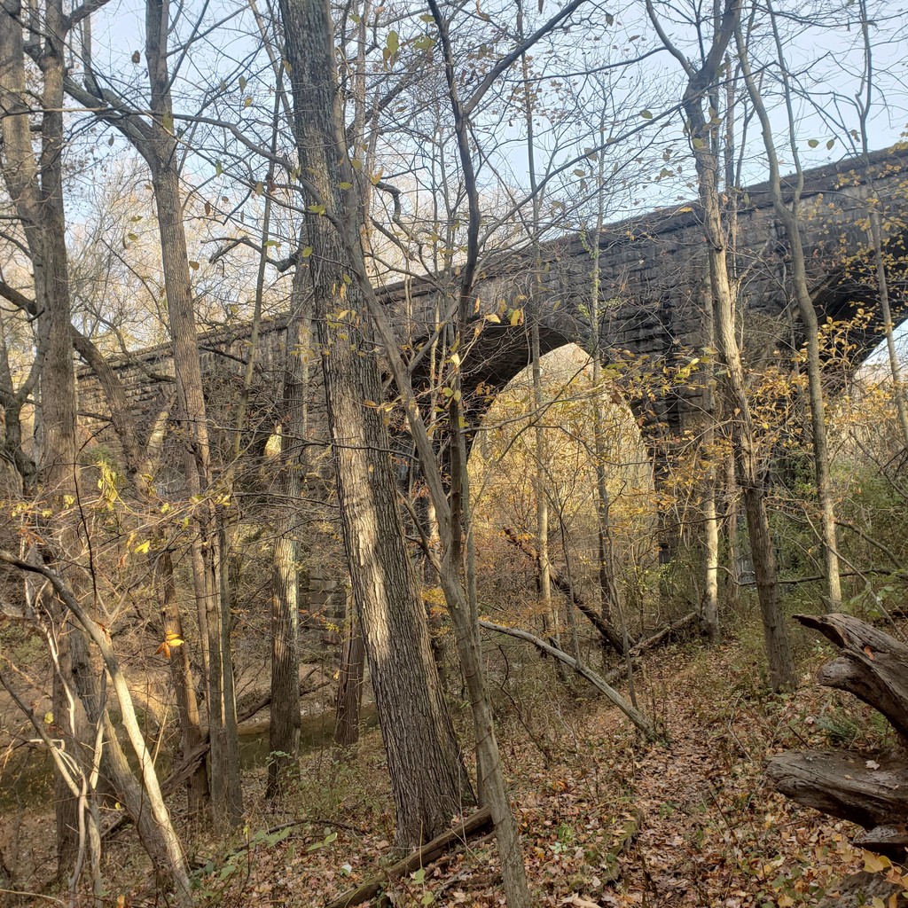
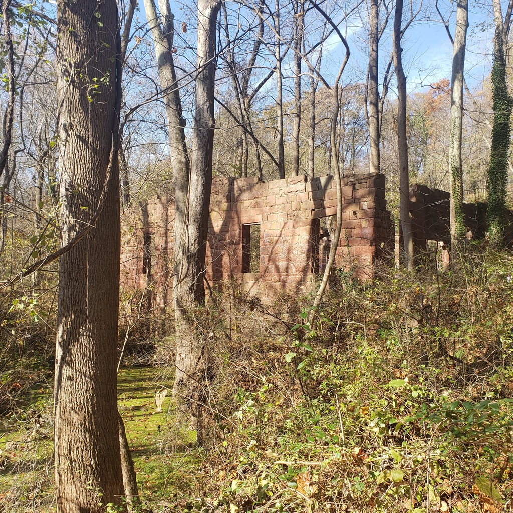
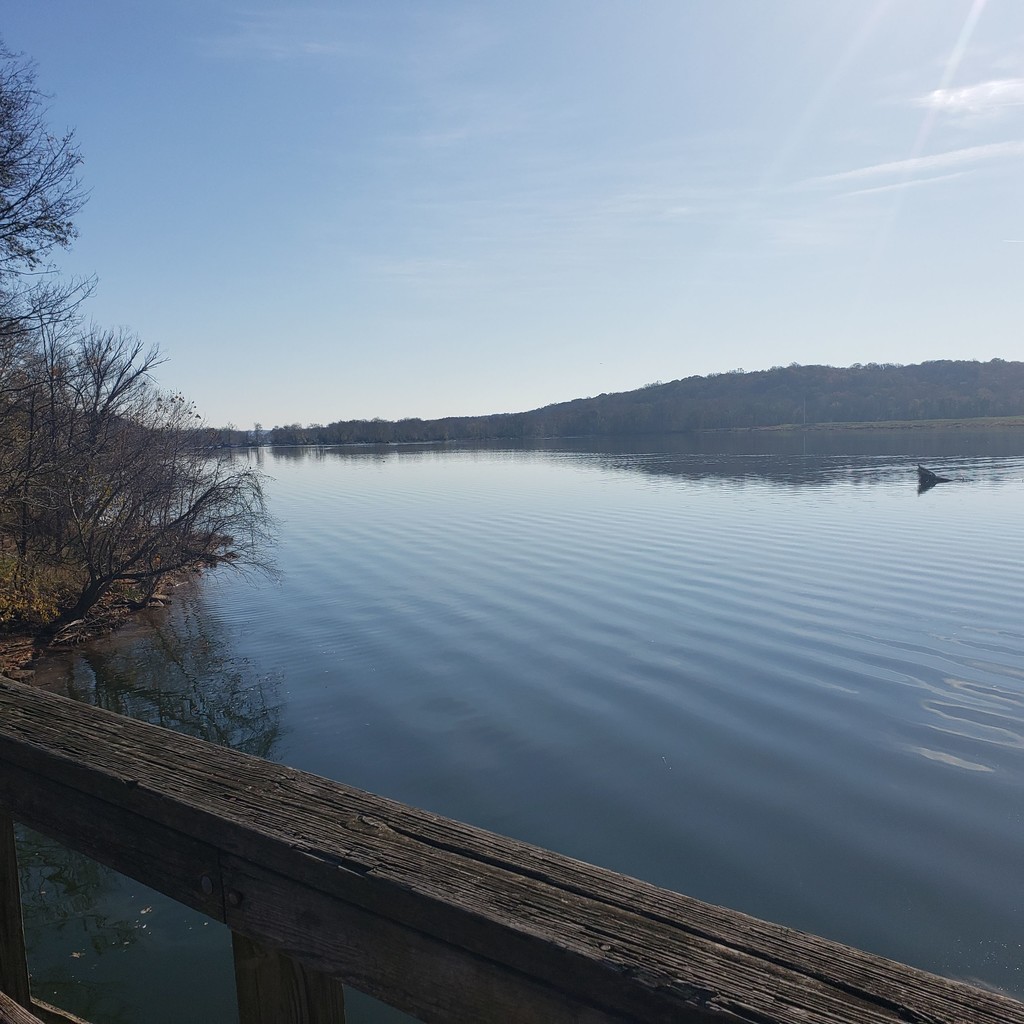
The run made me remember and appreciate how amazing the Montgomery County trail systems are. I was running through one of the most populous counties in the nation (I think that's true), but would never know it. The trail starts on pavement for a short period, but quickly terms to some great single track running. It feels like you're in the middle of the wilderness following a creek as it rambles along, but you're not actually that far from civilization.
The GPX track for the route, which I found on hikingproject.com is good, but not perfect. Luckily there are blue blazes the entire way, just follow them. Some parts are better kept and marked than others and some road crossings are confusing to find the trail on the other side, but overall it's not hard to follow.
Comments
I, Andrew Lent will be attempting this Seneca Greenway Trail fkt tomorrow, Tuesday 1/21/20. I will be doing it unsupported heading southbound starting my watch at the northern terminus of the northern Magruder branch trailhead on Shelldrake Circle. I will proceed to the Lower Magruder Branch Trail and then to the proper Seneca Greenway Trail which I believe is the route outlined above. Finally, I will stop my watch after crossing the bridge at Riley's Lock. I will carry my own water and food as well as chlorine tablets to purify water en route.
To amend my previous comment, I will start my watch at Damascus High School to match Darrel's effort.
I completed the route yesterday in a time of 4:11:06, and I submitted for a FKT. Thank you Darrel for posting this route! It is one that I grew up running/hiking on, especially the lower sections, and I have been looking for an excuse to go out and run the whole thing.
Hey Andrew, awesome time on that route and glad you enjoyed it. I think that was my first time on the trail, but Montgomery County really does an amazing job with them. I was definitely confused with where to start and was trying to follow a gpx file from Hiking project, but I think you are right that the true start might be down in that neighborhood and not at the school. In any event, it's really fun to cross the county in that manner and enjoy running by the stream the entire way. Great run, I might have to give it another go later this year to see if I can get anywhere close to that :)