
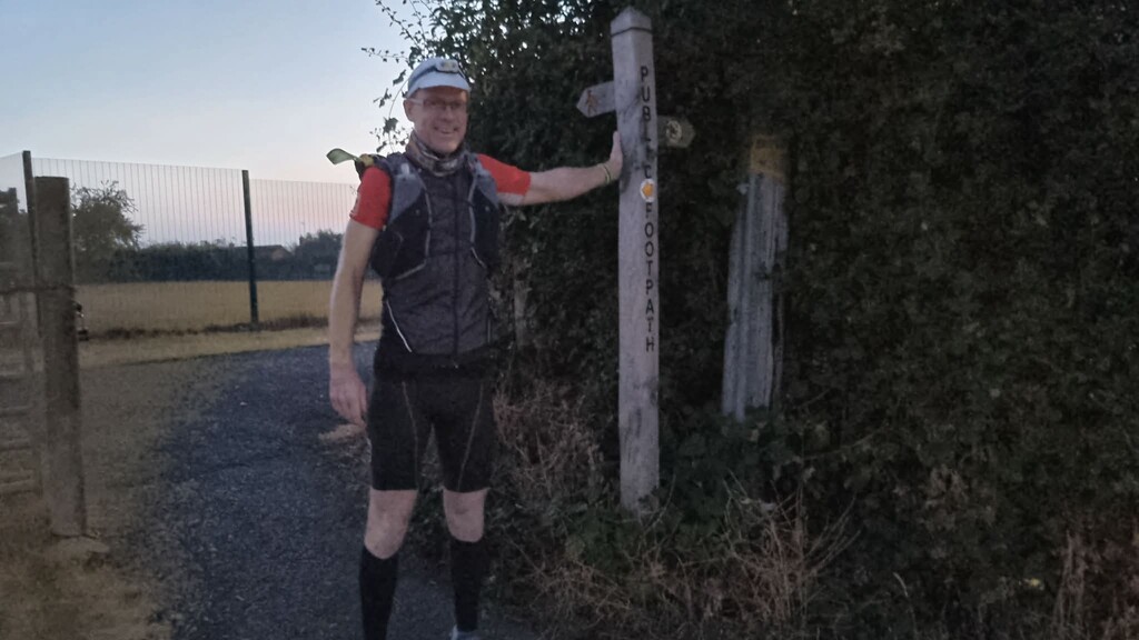
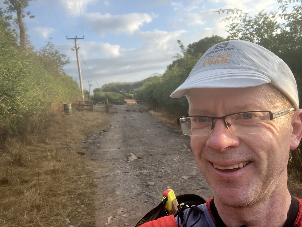
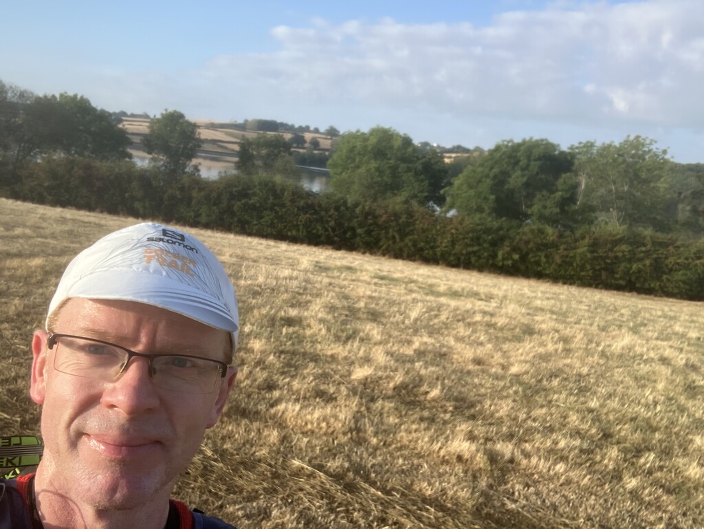

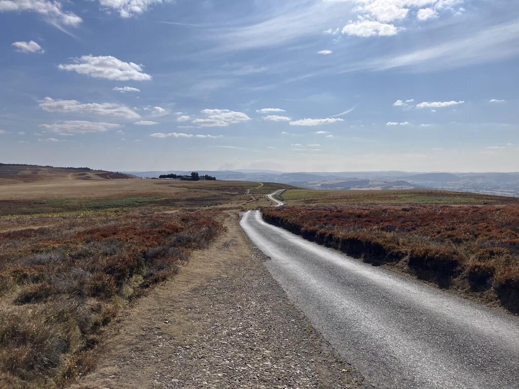
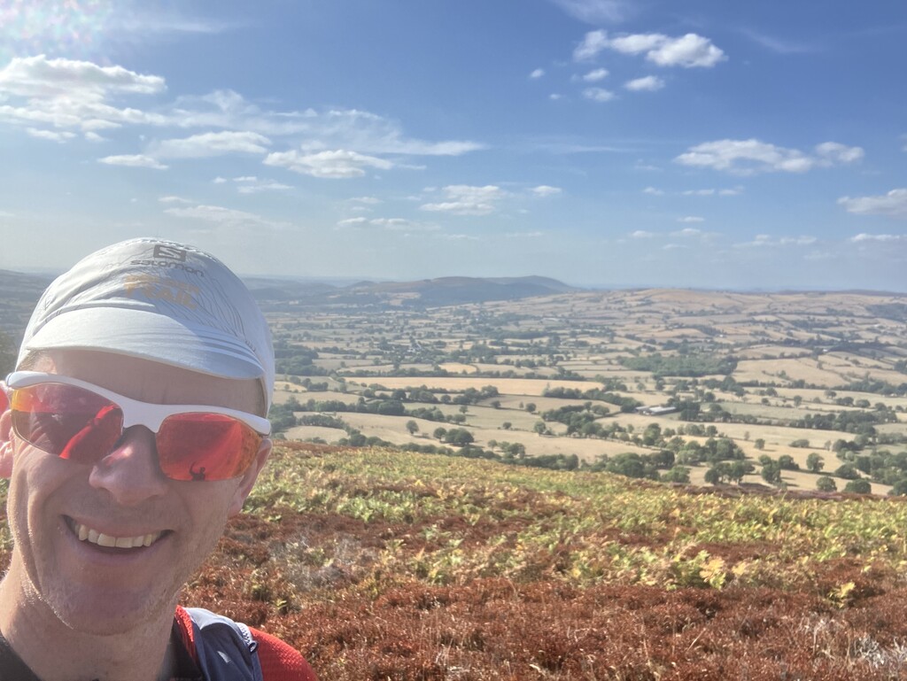
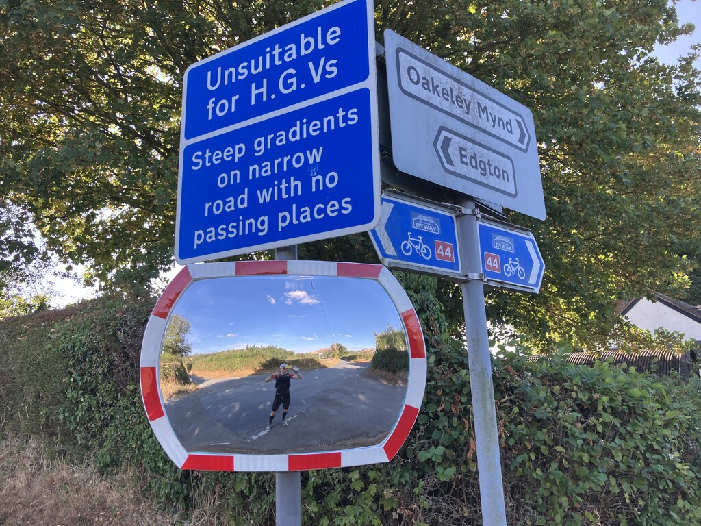
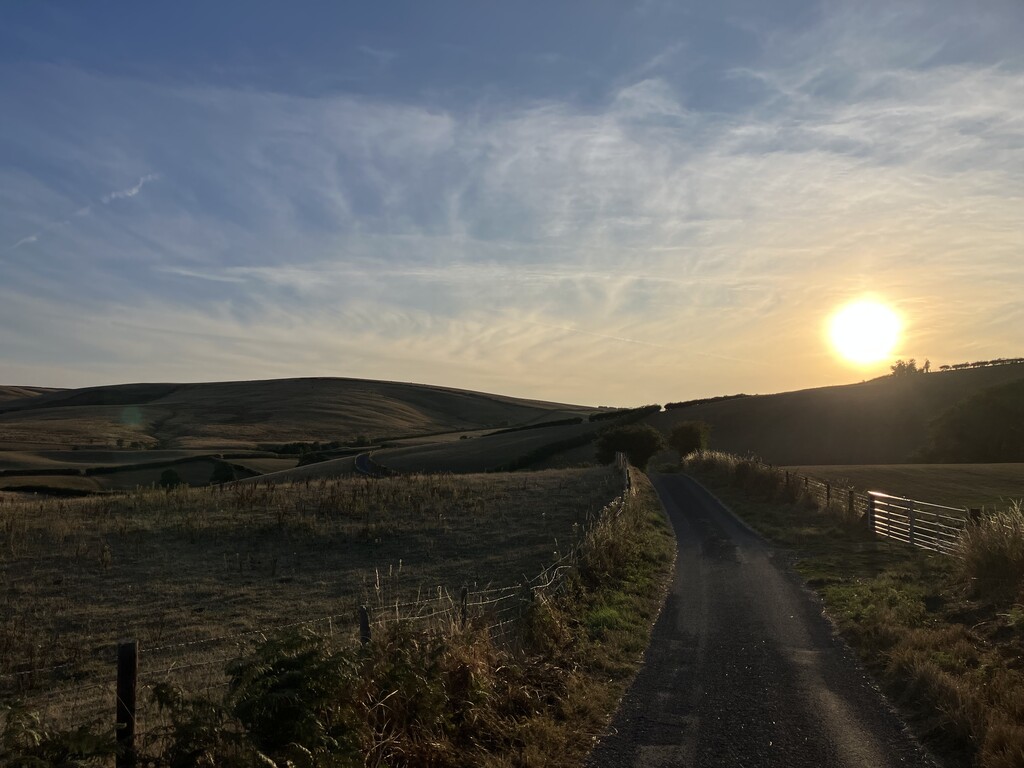
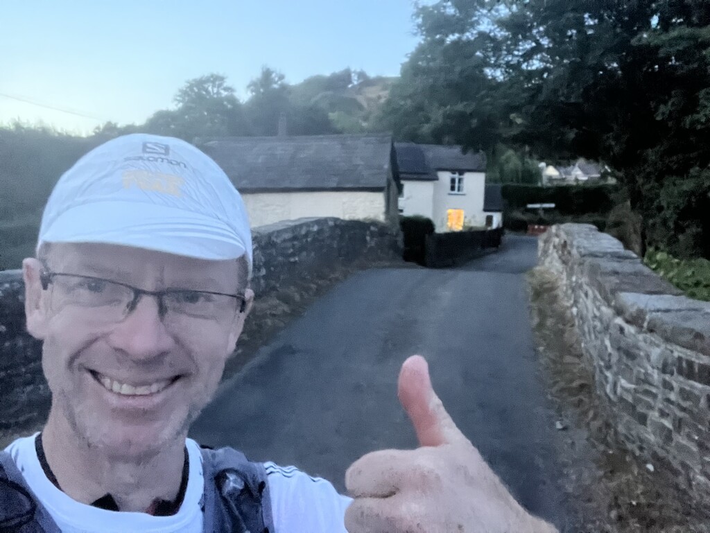
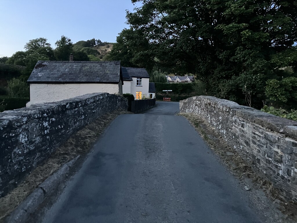
One of the reasons I decided to do the Jack Mytton Way was because of the beautiful route it took through some of the best Shropshire landscapes. At 72 miles with 7,600 feet of climbing, it was going to be a decent challeng, but one I knew I could achieve without completely destroying myself. The Jack Mytton Way consists of a mix of bridleways, roads, and tracks, all designed to be horse-accessible.
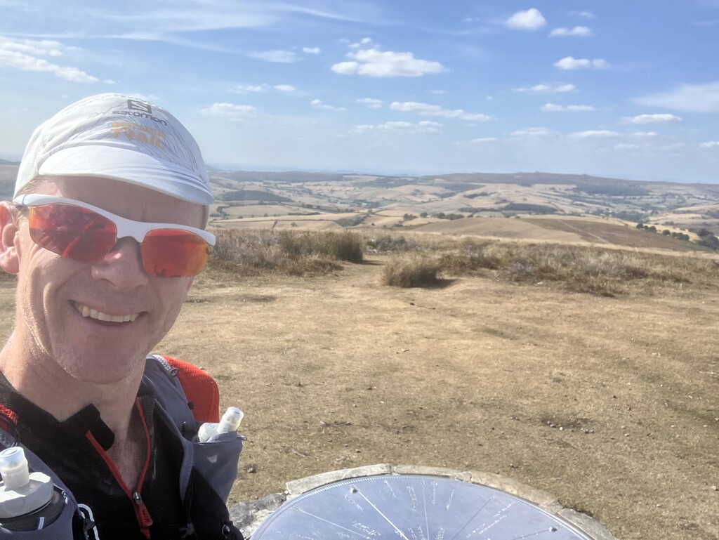
I started as early as I could (5:30am) and just about managed to complete the course within daylight hours (8:30pm). The route passed through Much Wenlock and followed the Wenlock Edge to Church Stretton. From there, I climbed the Long Mynd, reaching the 500-metre summit at Pole Bank. I then headed west through Clun, finally crossing the Welsh border to finish at Llanfair Waterdine.
As this was self-supported, I relied on local shops in Much Wenlock, Church Stretton, and Clun to top up my food and fluids. I even managed to grab a quick ice cream in Carding Mill Valley while heading up the Long Mynd!
My fitness leading into this was not ideal, and my challenges started early when I developed two blisters just 8 miles in. However, my love for a scenic run-walk kept me moving forward, making the tough miles well worth the effort.