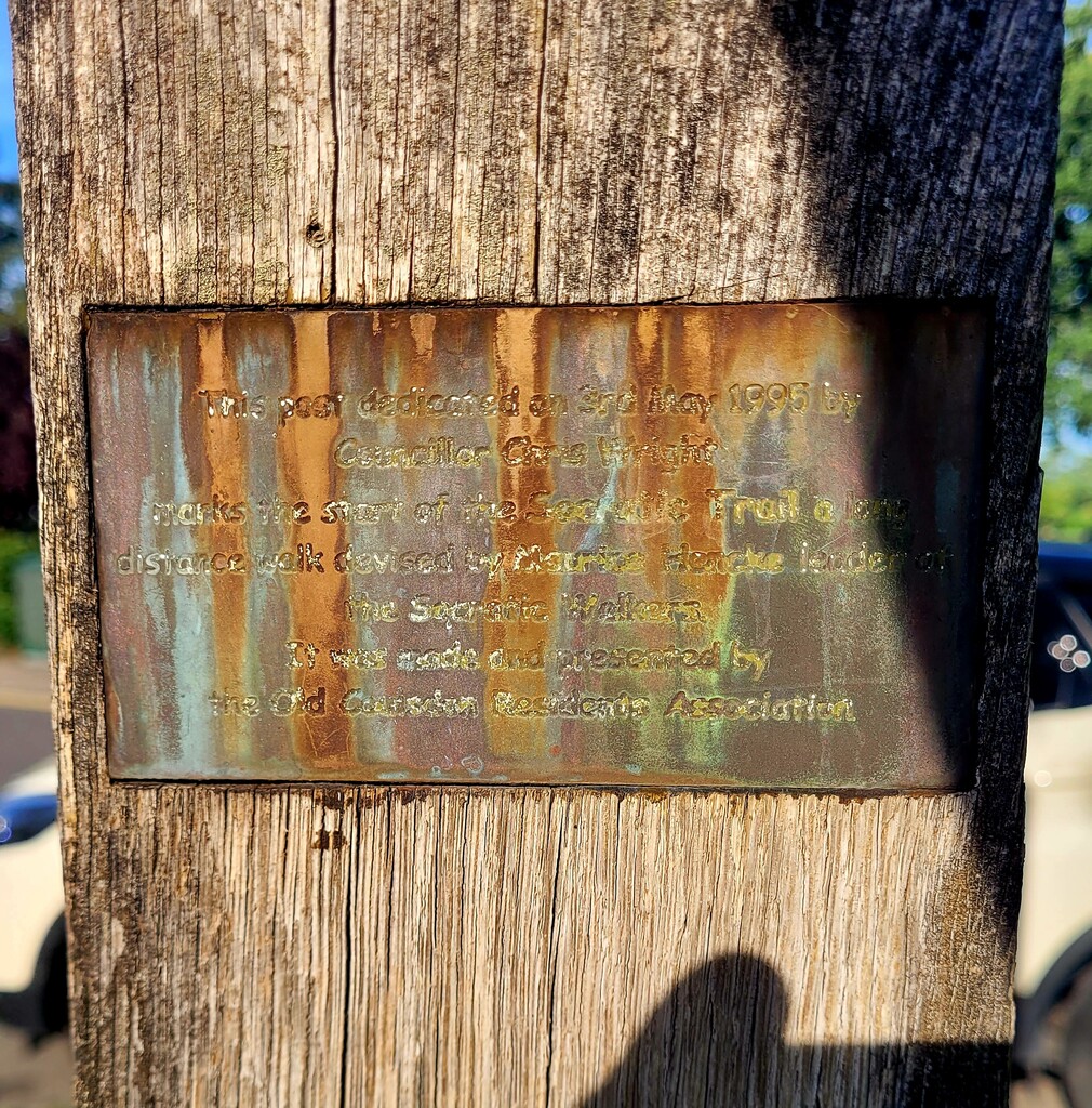
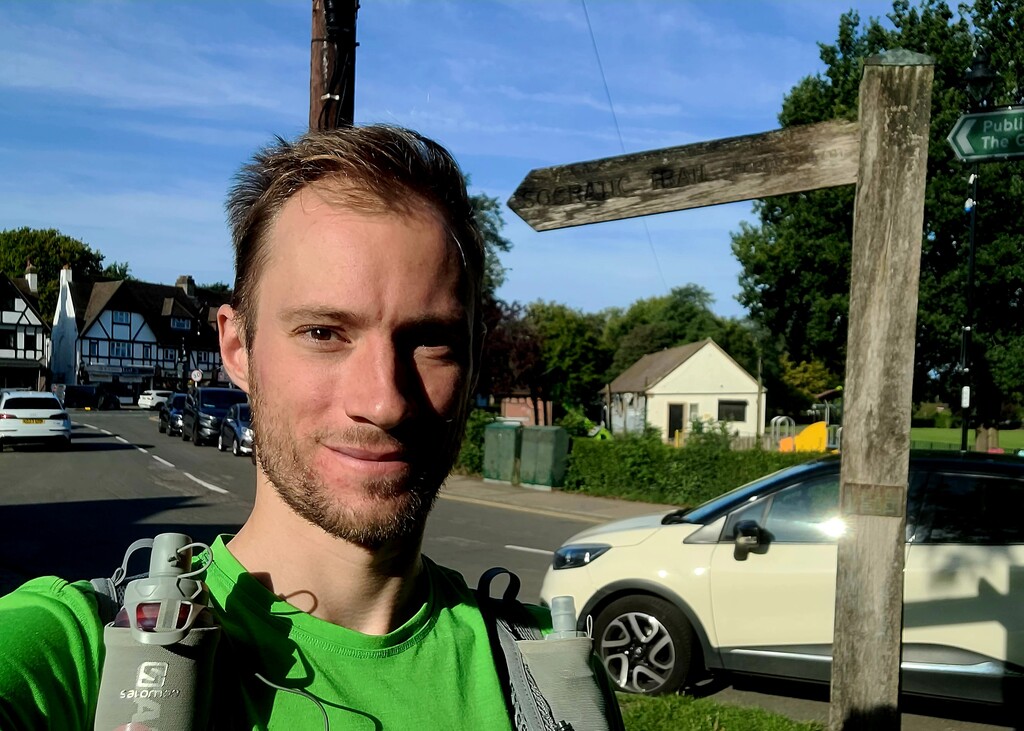
I started at 09:15 in front of St John the Evangelist Church in Coulsdon. The trail is marked by an old wooden sign that reads “Socratic Trail – Brighton 47 miles,” with a faded plaque. There were a few churchgoers passing by, but I quickly set off at a fairly fast pace, knowing the first sections would be runnable.
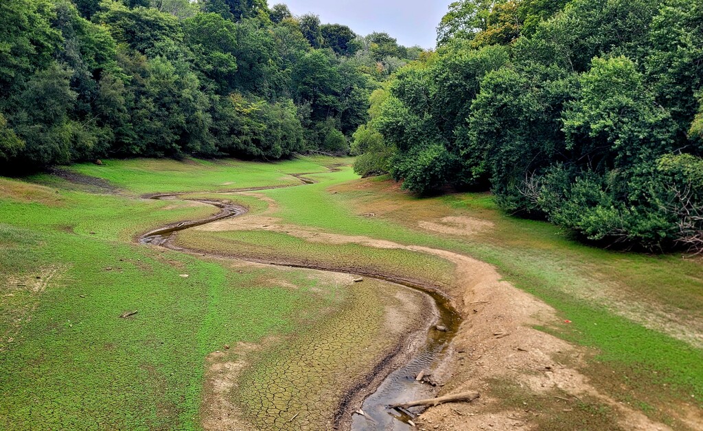
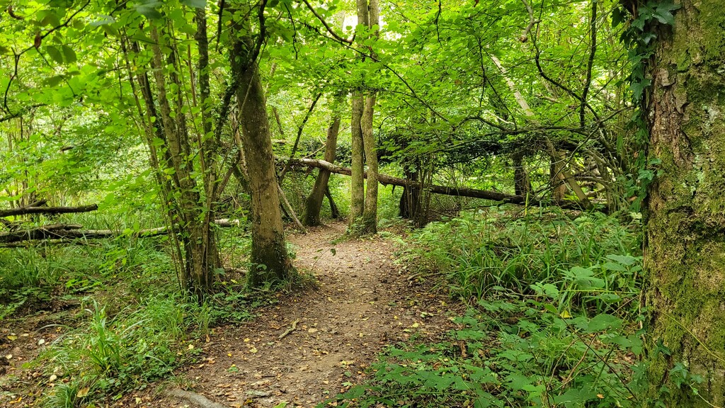
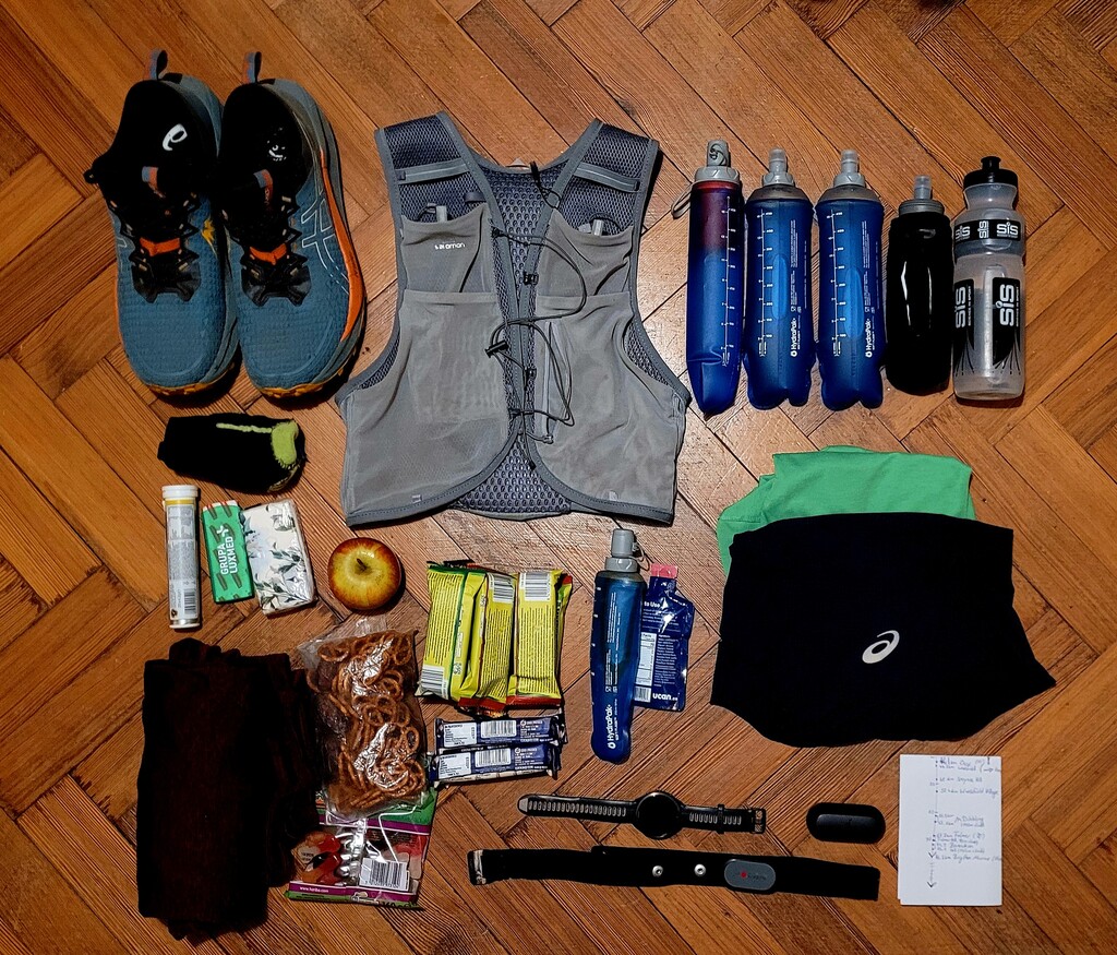
The first part of the trail runs through suburban and civilian areas, before opening into countryside. I first felt I was leaving built-up areas near Spynes Mere, a natural reserve. I made good progress initially, although my legs felt heavy. By Copthorne (~27 km), the heat and limited water started affecting me. I had planned this as an unsupported attempt, starting with about 3 liters of water, rationing roughly 800 ml per 25 km segment and keeping a small reserve. I also carried a soft flask with a water filter and chlorine tablets. Streams along the way were mostly dry, murky, or puddles, so I had to manage carefully. Running on low water in hot and humid September conditions became mentally as well as physically challenging.
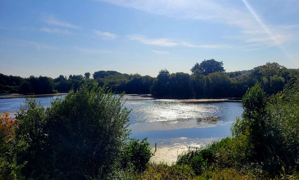
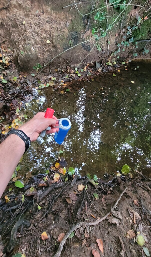
The next 20 km were particularly tough. I kept my eyes open for water, but most small streams were dry or murky. I had hoped to find water near the Ardingly Reservoir, but the flow was minimal, and even the reservoir’s branch into the Loder Valley was little more than a trickle. Relief came around 47.7 km, after crossing East Mascalls Lane from Snowflakes Lane and running through a small estate and meadows behind it. At the end of the meadow, entering a small forest patch just before Scaynes Hill, there was a bridge over a small stream. The water was clear and flowing, so I filtered and chlorinated 1 liter, which I drank later with no issues. Knowing I now had about 2 liters for the remaining distance restored confidence. After another 5–10 km, my body started feeling stronger again, allowing me to maintain a better pace through the final section.
There were a few minor route deviations required along the trail:
-
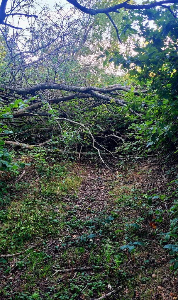
Nutfield: A fallen tree on the path, easily bypassed.
-
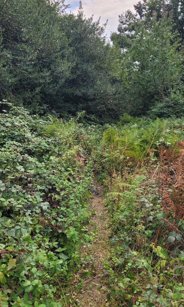
Before Burstow: The trail passes through a stream bed that is overgrown. I ran across a meadow with sheep instead.
-
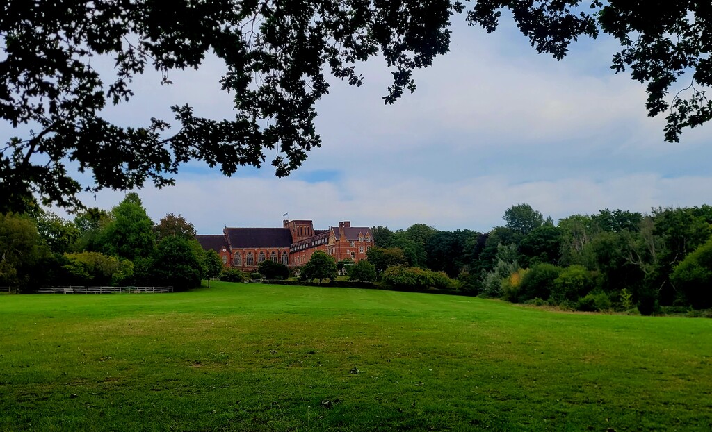
Worth School grounds: The original trail diverts west through a wooded patch with no visible path. The easier route is straight on the main road past the school sports fields.
-
Descent from Ardingly to the reservoir and Ardingly College: The path is not obvious; the correct line is down the meadow keeping the bushes on the right until a gate provides access back into the woods.
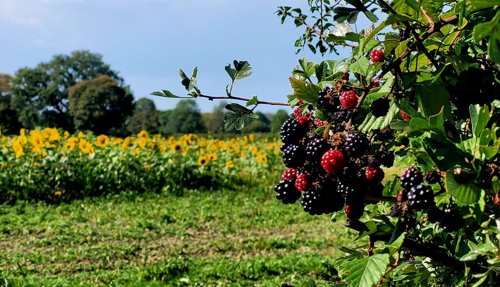
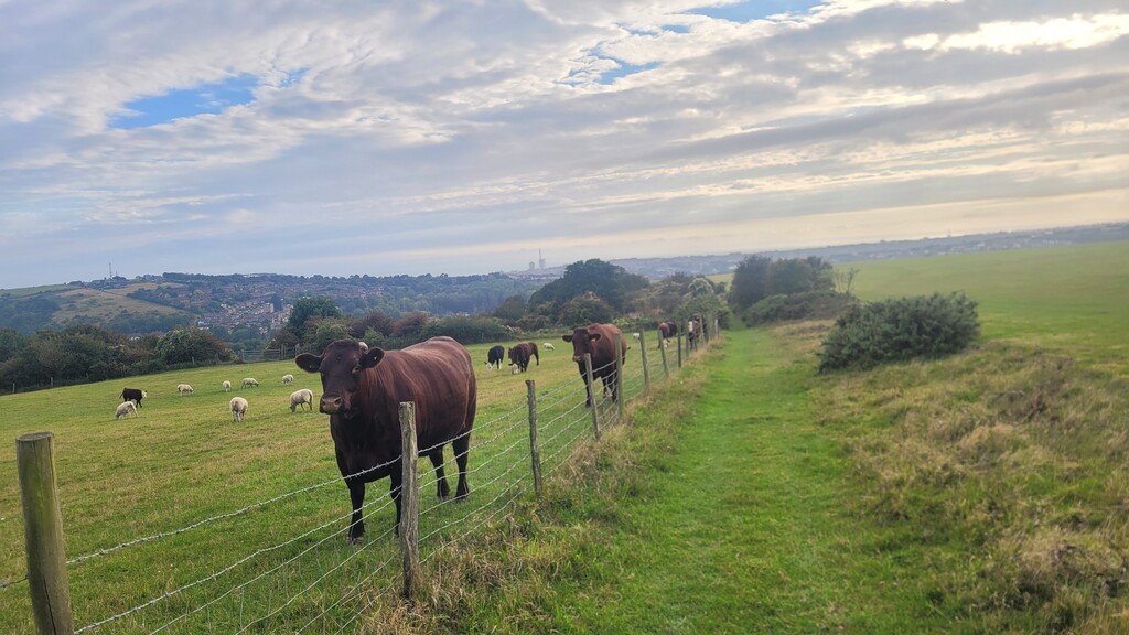
The rest of the trail passed through meadows, fields, sunflower fields, and the grounds of Worth and Ardingly schools. Occasionally, I walked past livestock such as horses, cows, and sheep, and bramble berries along the trail provided a convenient snack.
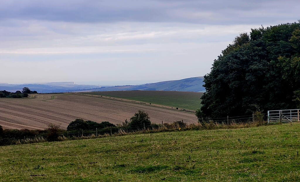
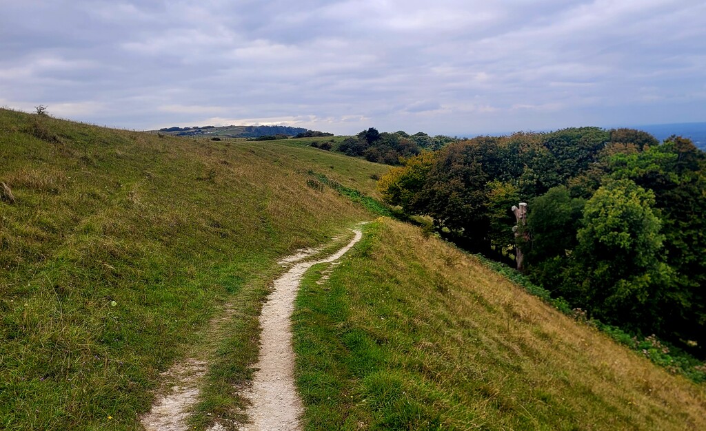
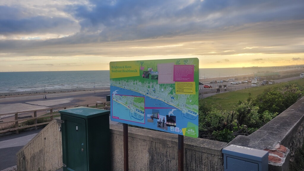
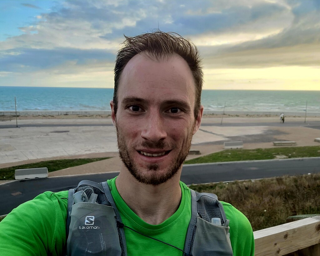
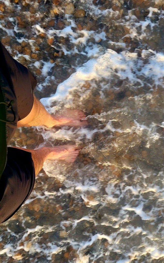
The climbs over the South Downs ridge and Ditchling were challenging but manageable, and the cool sea breeze at the top provided a welcome boost. Passing through Falmer, I encountered crowds leaving a Women’s Rugby World Cup match (NZ vs. Ireland), which added a lively atmosphere for the final section into Brighton. I finished at Brighton Marina, cooling my legs in the sea immediately after finishing.
Overall, the Socratic Trail is mostly runnable and straightforward to follow. The main challenge of this attempt was water management on a hot, humid day. Minor diversions were required in four locations, as noted above. The attempt was completed safely and unsupported in 9:34:00.
Comments
Great run! Glad the route is getting some traffic. Seemed like it was getting lost in the undergrowth last year.