
The 4 Peaks of Ireland Challenge is climbing the highest peaks in each of the four provinces of Ireland in less than 24 hours. Time starts at the trailhead before the first peak and ends at the trailhead after the final peak. The four mountains can be tackled in any order, but the best option is listed below.
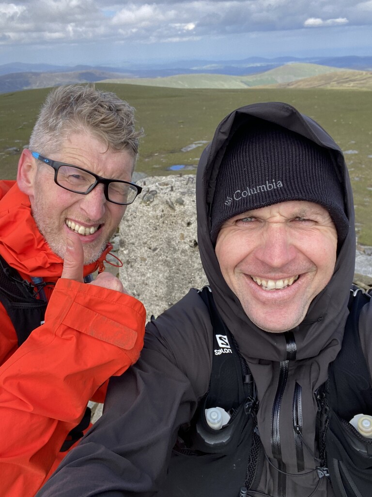
1) Carrauntoohil at 1040m of Co. Kerry – the highest peak in the southern province of Munster.
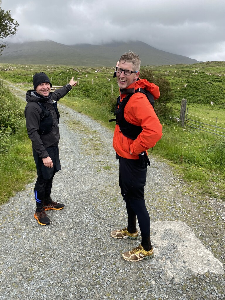
2) Mweelrea at 841m of Co. Mayo – the highest peak in the western province of Connacht.
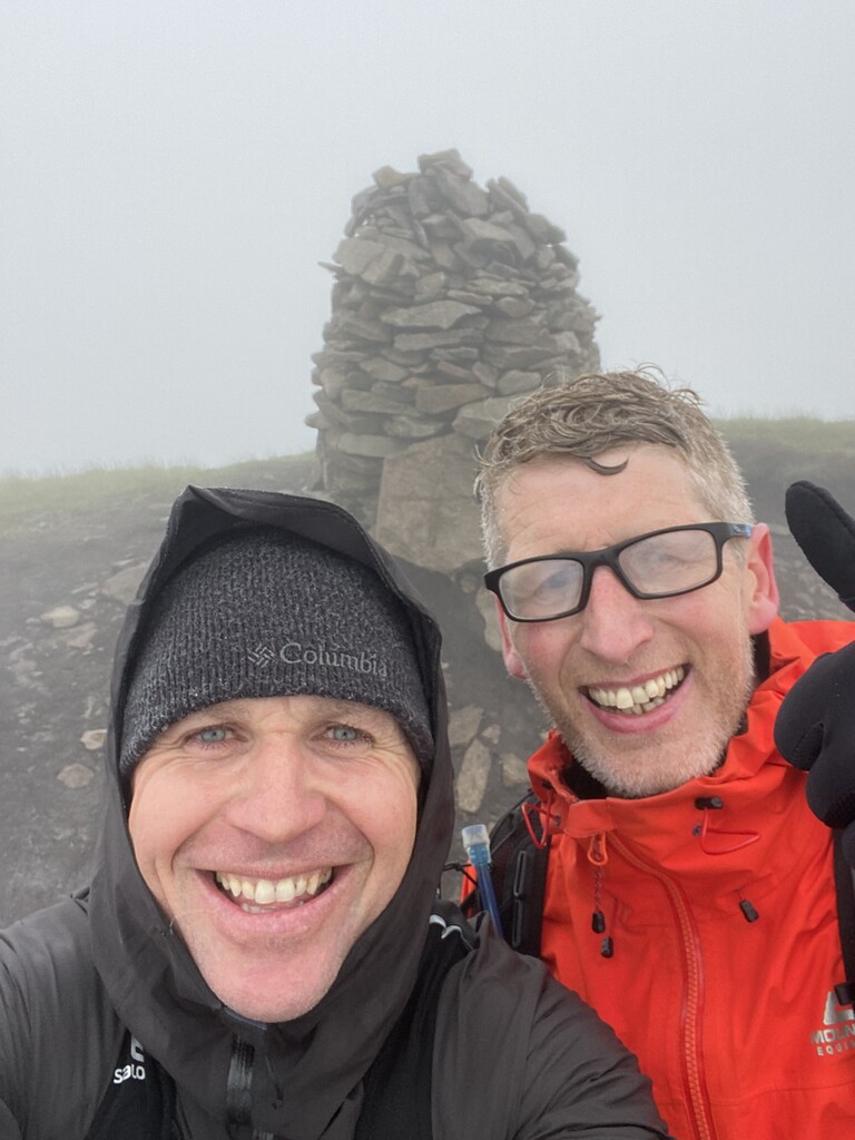
3) Lugnaquilla 925m of Co. Wicklow – the highest peak in the eastern province of Leinster.
4) Slieve Donard at 840m of Co. Down – the highest mountain in Northern Ireland and the province of Ulster.
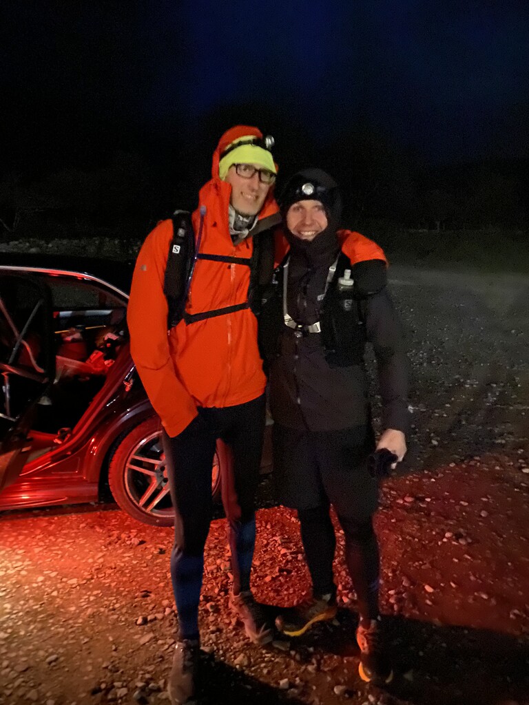
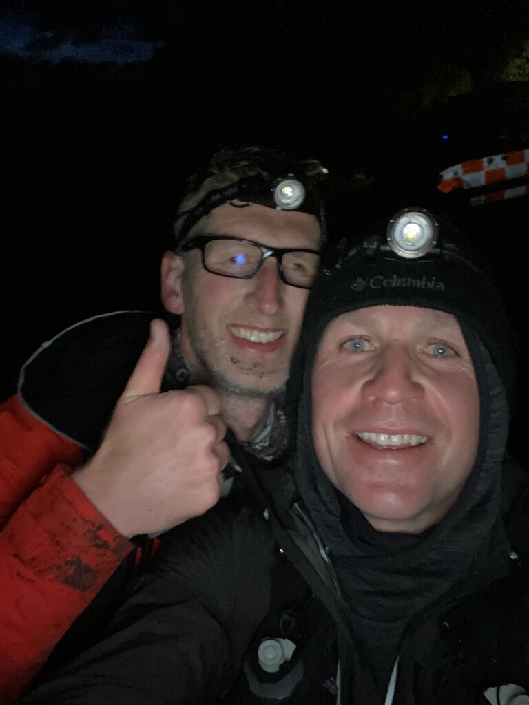
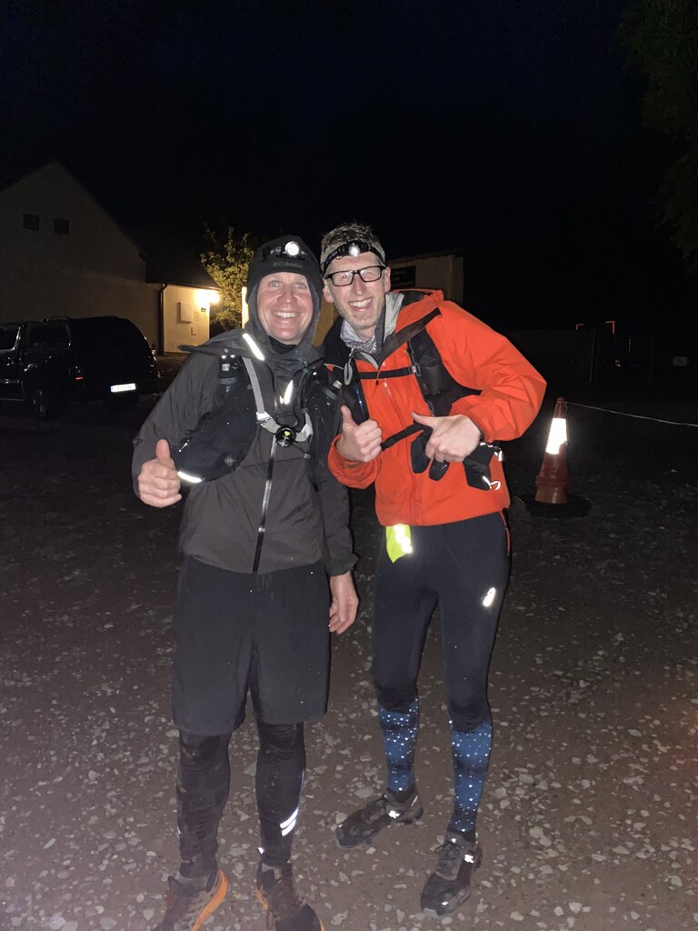
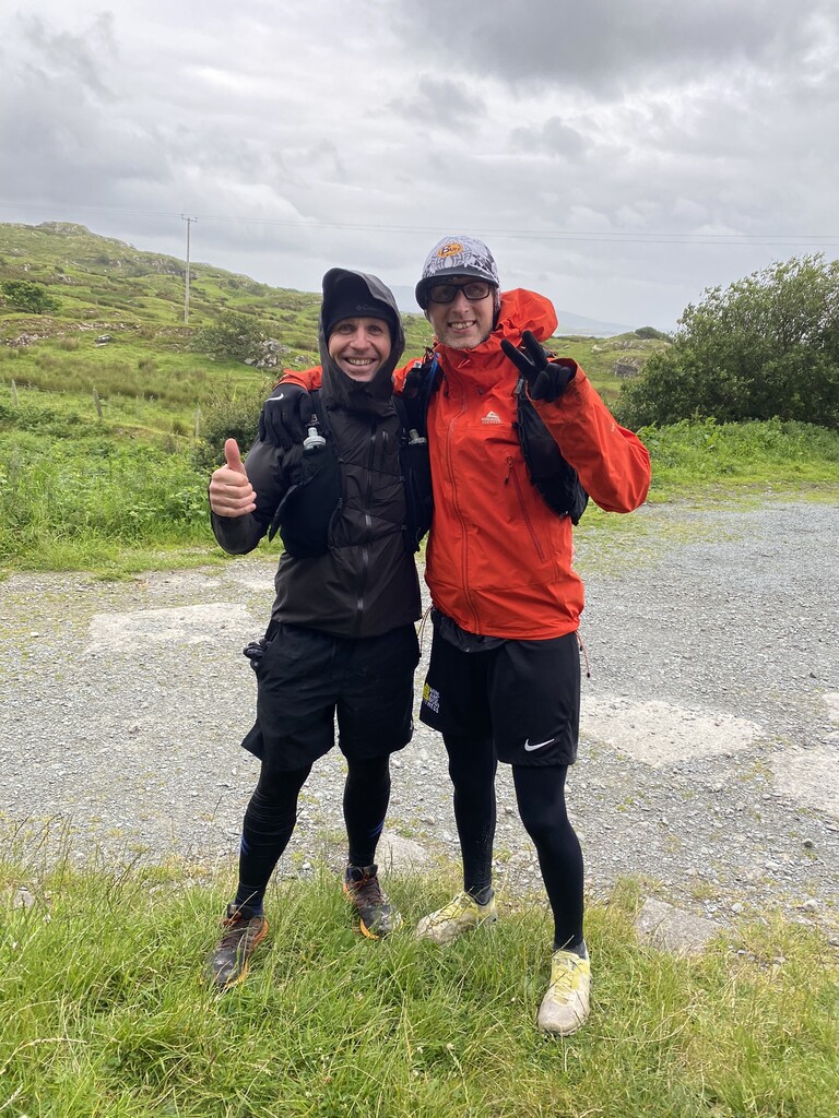
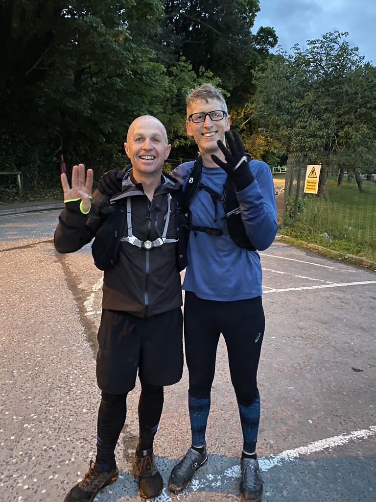
On the 11th of June 2022, at 00:33, a two-person team and one support crew driver embraced the 4 Peaks of Ireland Challenge; this is an account of how the day unfolded. The two-person athlete team consisted of Gerard Prendergast, David Hill, and Paula Prendergast as support.
The epic challenge began in the Carpark of Cronins Yard at the base of Carrauntoohil Co. Kerry at 00:33min past midnight. The conditions were wet and windy, and visibility was 50 meters or less. The section required head torches, raingear and lots of warm layers.
From the carpark, the trail rises 350m slowly over the first 4.67k to the base of the Devil Ladder. Since this section is tackled at night, it's imperative to stick to the stone trail. The ladder is 218m high over 550m long. Ascending the ladder on the right up and left down. Be careful coming down. There is a 3m drop halfway down that could be very dangerous if not navigated sensibly.
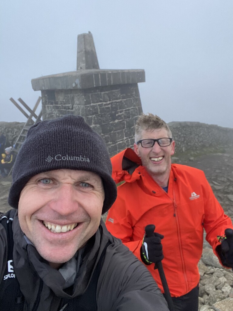
The final push from the top of the ladder to peak is 273m over 850m. This is a steep climb with rocks 100m before the summit.
The first peak was completed in 2:54:35. After a quick change, it was on to peak two Mweelrea Co. Mayo which is a 333km drive from trailhead to trailhead.
Mweelrea starts at the base of a rugged agricultural laneway with a residential house on the left-hand side. The first section is a hard surface for 650m which terminates at a farm gate. After the entrance, the surface is soft / bog. Expect to get wet and change runners after this one. Section 2 is 2k to the base of a rocky climb (500m). Once past the rocks at the top, turn right down the saddle and up to the summit.
The second peak was completed in 1:47:21. Again another quick change and off to peak number three Lugnaquilla Co. Wicklow, which is 307km from Co. Mayo to Co. Wicklow.
The climb starts at Fenton's Pub carpark in the Glen of Imaal. This route passes through the military range, and it will be closed on weekdays when they are firing, so we need to confirm before the challenge that we can pass. The first summit is Camarahill, and the route continues on an easy-to-follow path to the plateau, where it becomes faint and hard to follow for a relatively short distance to the summit cairn. Good ground conditions from start to finish nothing to worry about here.
The third peak was completed in 2:03:55. No change of clothes here just in the car and gone 199km from Co. Wicklow to Slieve Donard Co. Down.
The fourth peak climb starts at Donard Carpark and quickly enters a wooded area with little or no tracks. The river Glen can be used as a handrail for 3.45k until you cross the river over rocks to start a steep ascent to the Mourne Wall. Once at the wall turn left up the steep path/ stairs to the summit.
The fourth peak took 2:13:41 to complete, which gave us an overall challenge time from start to finish of 21:49:41.
Food was eaten in the car, and water drank during the run and in the car.