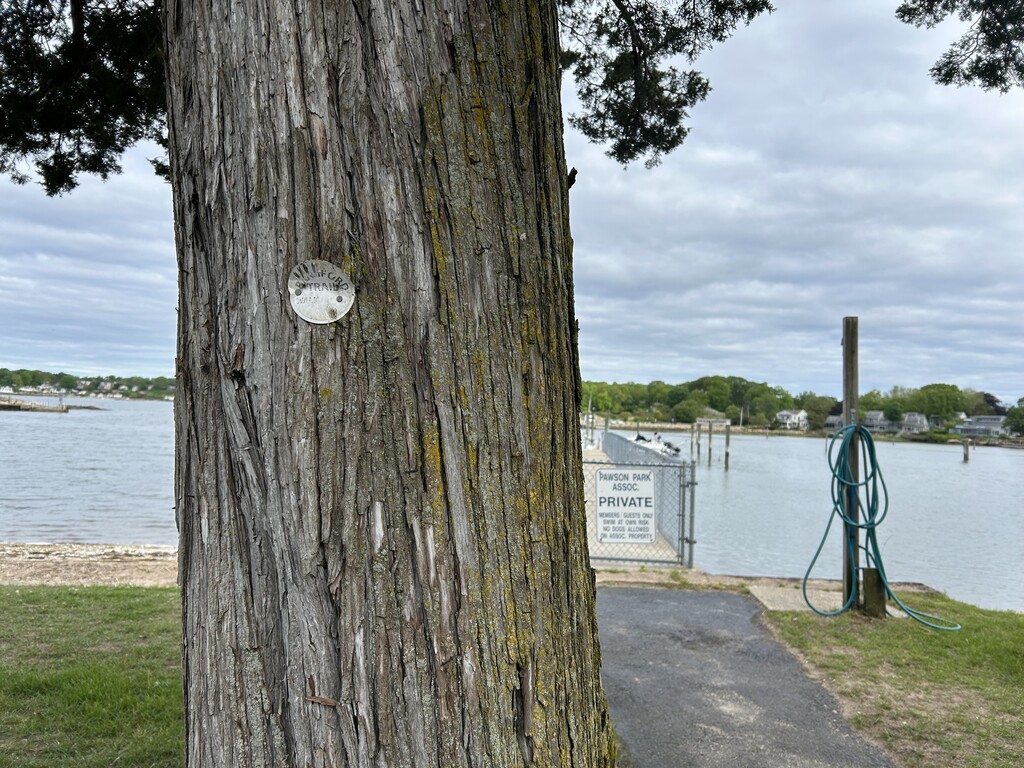
My in-laws have a beach house in Old Lyme where we were staying over the Memorial Day weekend. I needed a long run that could also be an adventure, without a lot of travel. The Branford Trail fit those requirements. I drove to the finish to find a place to lock my bike as this trail "ends" are across the water from each other, about 3.5 miles by car, but probably only 1/4 mile by boat. I locked my bike at a rack in Branford Point. I then drove over to the start but quickly realized there was no place to park because it is all densely packed residential. I backtracked out to where Linden Ave and Sybil Ave meet and decided to park at a hair salon knowing that since it was Sunday they would not be open. This will be a challenge for anyone else trying this. A drop off may be a better plan. I walked jogged to the start only to realize that it wasn't actually the start. The Branford Trail is marked with white circles and the white circles continued on so I followed them all the way up to River Road where there was a flag pole and the last marker I could find. I started there instead of where kory did, but I guess you can decide since he submitted it minus this 1/2 mile.
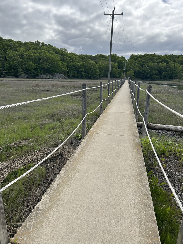
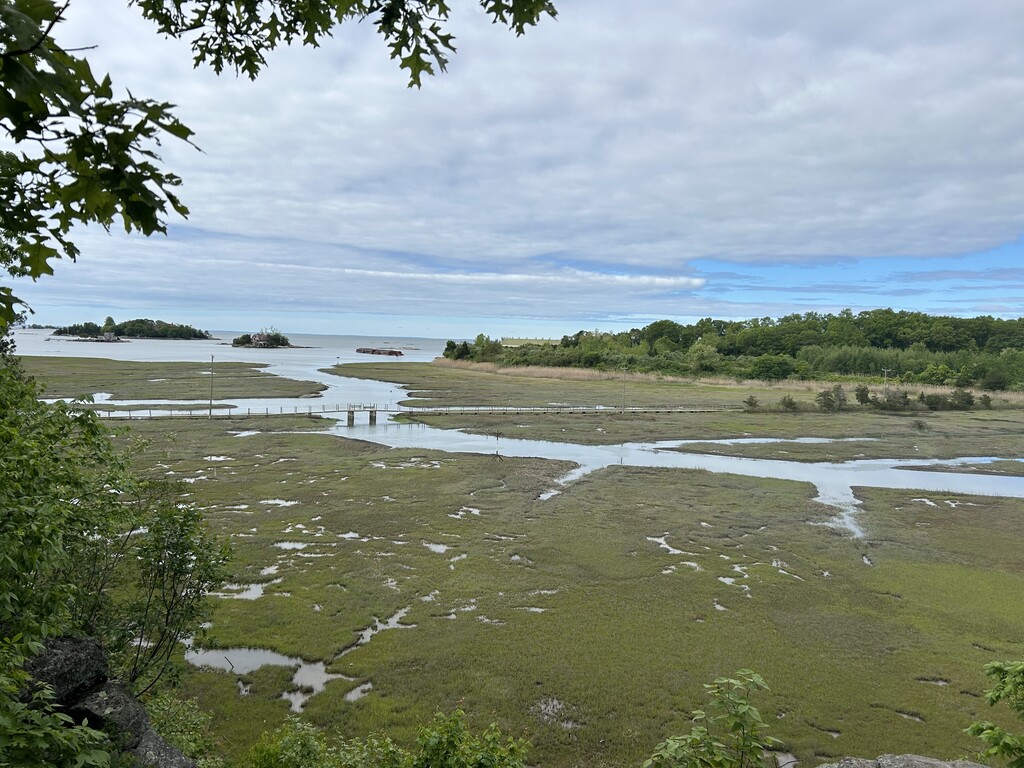
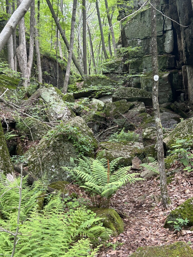
The first 14 or so miles were very well marked and the trails well maintained. The only challenges I had were when I popped out next to railroad tracks I thought I saw markers across the tracks but was mistaken and realized, after some time, that the trail went along the tracks instead. The other place it was tricky was in Stony Creek. I was following kory's GPX file but it was showing up on my watch as the entire state so I could not see any roads or trails, but I did hear it beep at me when a turn was coming up. It wasn't a problem until the second half where some of the trails looked like they had not been used in years. You'd pop out of the woods behind a wedding venue or a town works department and there was no additional marking in sight. I had to pull the FKT map up on my phone a toggle back and forth with Google maps to figure out where to go next. Along Lake Saltonstall is where markings disappear and then eventually reappear back on Hosley Ave. There, I followed kory's route but I am quite certain he (and then I) were off the designated course for the later half of the lake area but I believe it actually added a bit of distance than the intended trail.
Upon finishing at Branford Point I got on my bike and road to my car.
Overall it was a fun adventure and I would try it again now knowing the spots that were confusing.
I carried my favorite pack (UltrAspire Zygos) with 2 liters of water, 2 GoMarco bars and 1 Untapped Maple sleeve. The weather was pleasant and I am petite so the fuel and water was the perfect amount. I never had to restock, but it is possible at Stony Creek and maybe another road crossing if needed.
Comments
Amazing!! You crushed this! For my loop I started to the closest point of the trail that I live but i really should have started where you did. It is too bad the town doesn't have designated parking at both ends of the trail but Im thrilled you made it work!
For the Saltonstall portion of the trail I like to follow the lake trail although it is not offically part of the trail due to it being water company property rather than town property. It is much better than walking on the road for that section.
Great job navigating around the wedding venue. That is by far the least traversed trail on the whole loop and it is very confusing coming out behind the venue. It is also the worst marked there.
I added a trail at the north end the Stony Creek that is one i just like, so your route is def more accurate and what people should follow if attempting in the future!