I planned this route to cross over every type of terrain Greater Boston has to offer. It starts in the center of the city at the highest point in Boston Common. Over its 35 miles the route has oceanside paths along Boston Harbor, a graffiti kingdom at Quincy Quarries, lowland marshes, winding rivers, Harvard’s Arboretum, and the most technical 7.5 mile trail stretch in Eastern Massachusetts that reaches the summit of Great Blue Hill; the highest prominence, south of Maine, from which you can see the Atlantic Ocean.
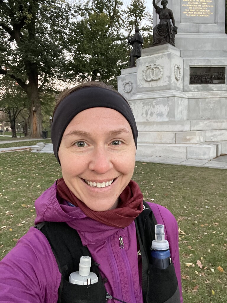
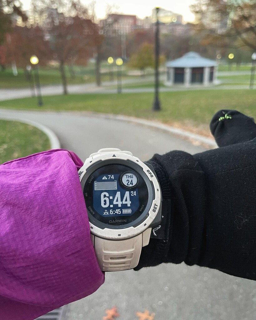
Since the short November length of daylight was about how long I thought the route would take, I started on Flagstaff Hill at 6:44am, the moment of sunrise, with the goal of making it back to that same spot by sunset 9.5 hours later.
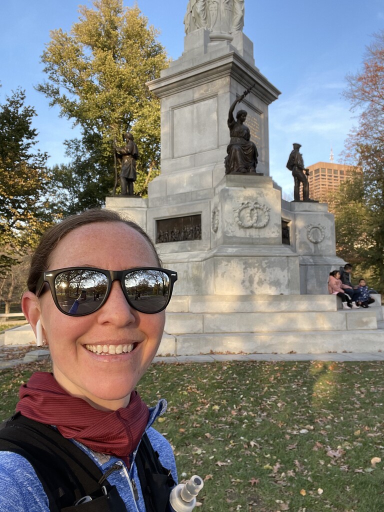
It was Thanksgiving Day and the city was silent at that time of the morning. It is luxurious to run straight down the middle of sidewalks that are usually packed with pedestrians and across streets usually crowded with cars.
As the sun brightened the sky I saw a few people walking purposefully with large Tupperwares in hand— definitely to a Thanksgiving feast! As I made my way through South Boston, coffee shop drive-throughs were starting to fill up.
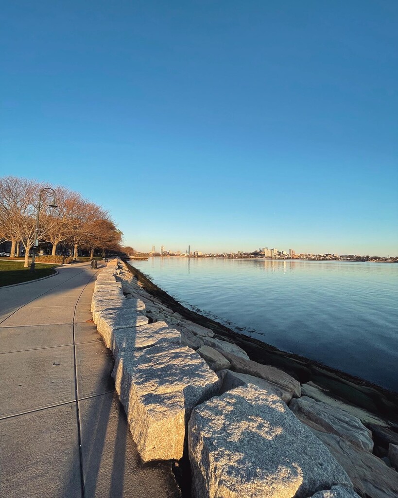
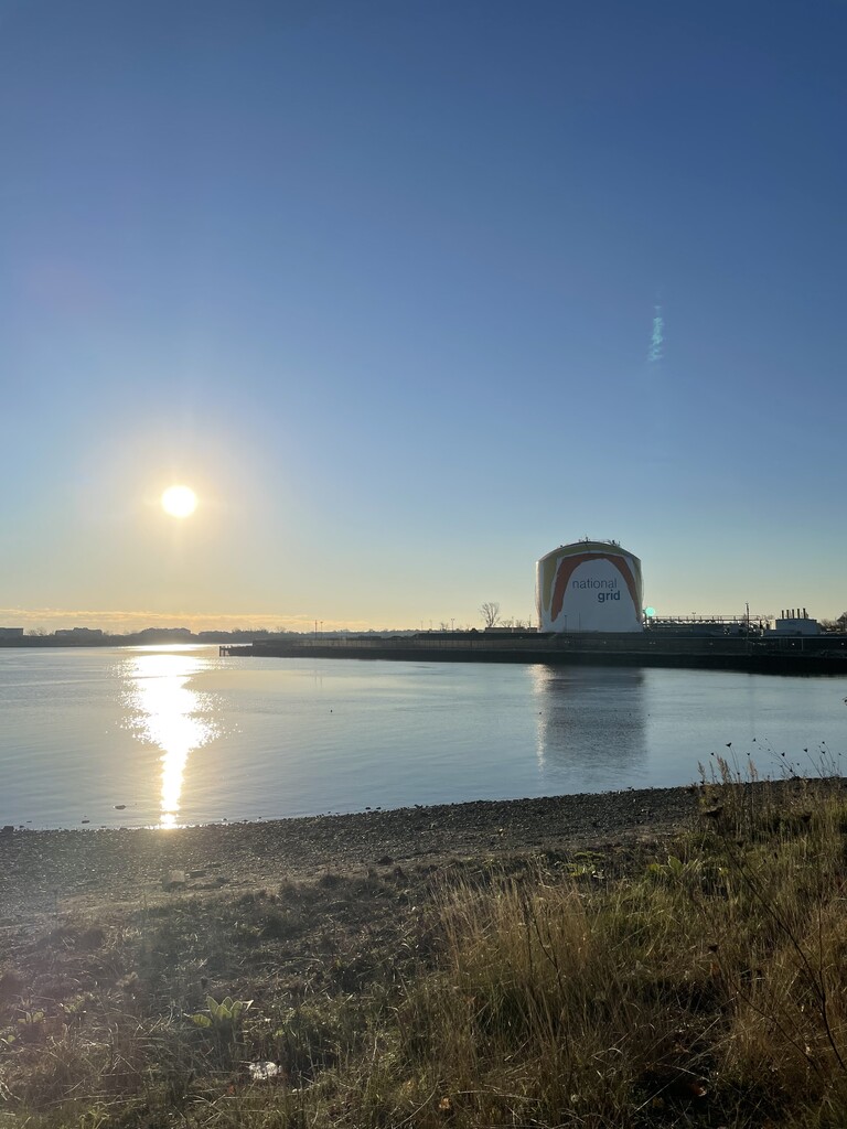
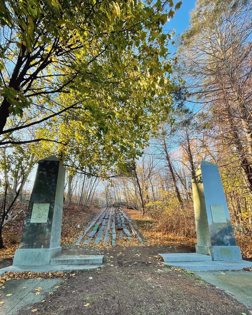
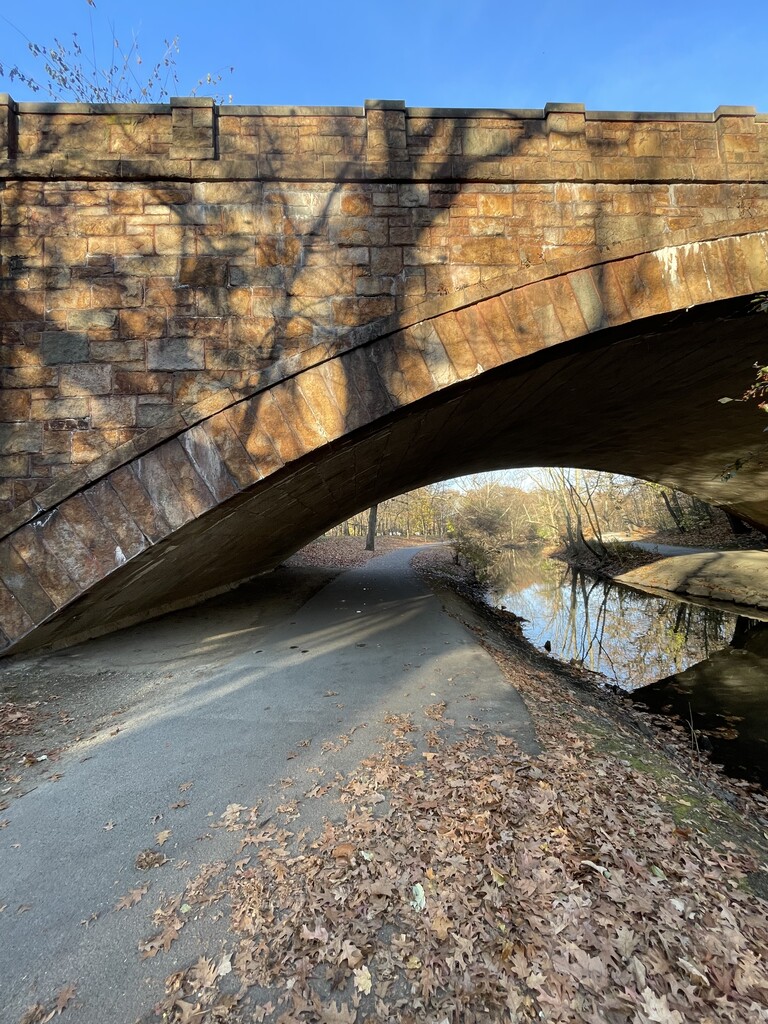
The route hugged the ocean for a few miles on the famous Boston Harbor Walk path. There’s something lovely about the smell of salt water on a chilly morning. I then took Morrissey Blvd past the iconic rainbow water tower, and then I worked my way through Dorchester into Quincy. After crossing over 93, I ran through a neighborhood that led to the base of the oldest railway in the country, which led up to the Quincy granite quarry.
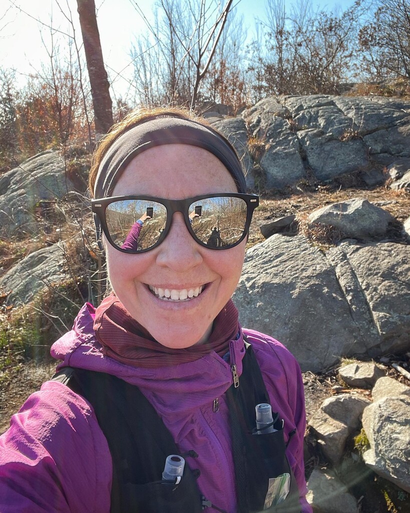
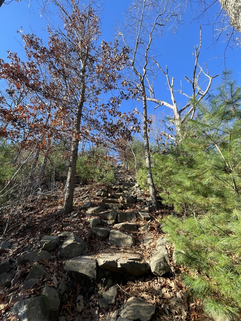
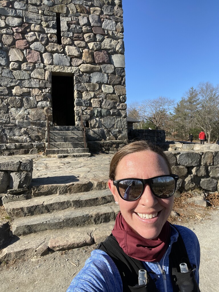
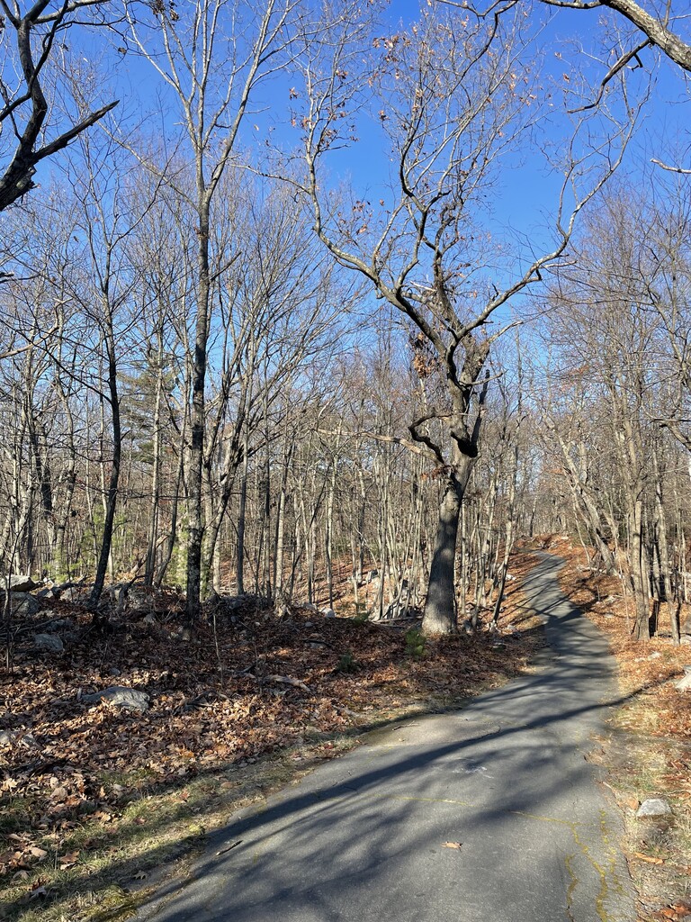
I was happy to get on the Skyline trail after about ten miles on roads and mixed surface running paths. The sun was shining and the miles passed quickly. The high point of Skyline is the 635-foot Great Blue Hill, on top of which is the oldest continually-operated weather observatory in the U.S.
From there, the route descends to Fowl Meadow, which as the name suggests has a lot of birds. I run there year-round and this is my favorite time of year to pass through, since the tall grasses and bugs have subsided!
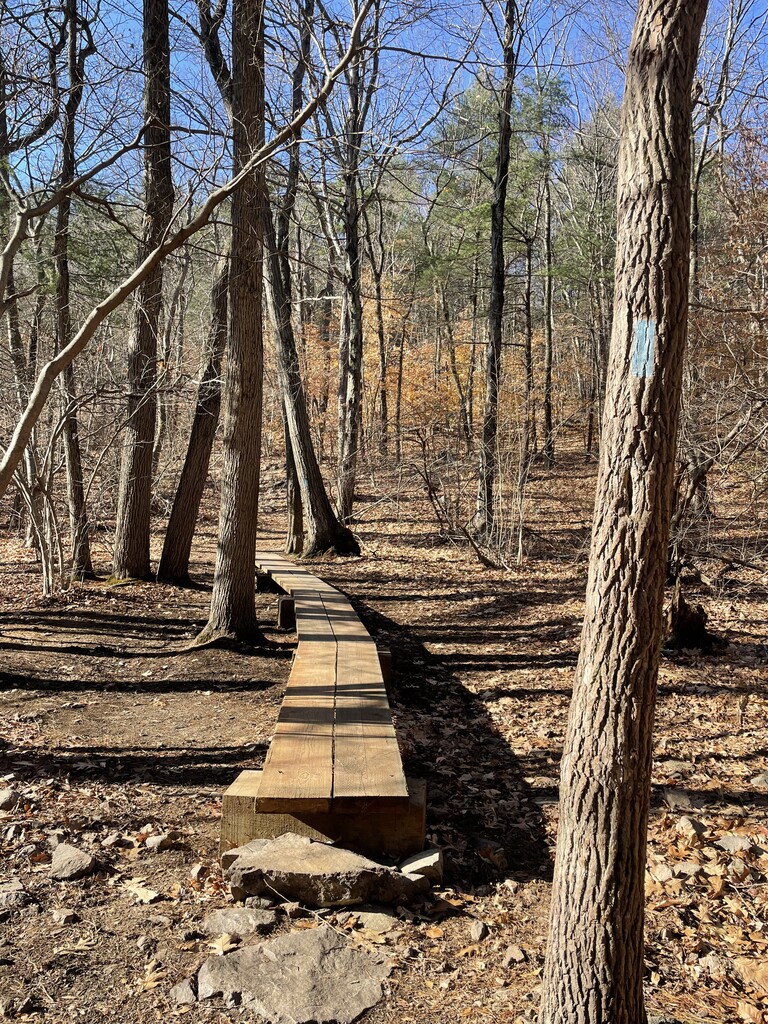
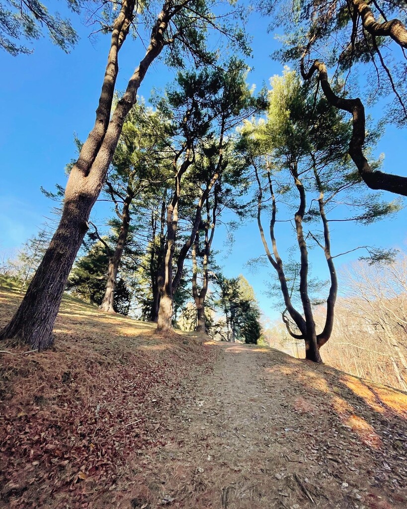
That was the last stretch of dirt for a time, as the route then wound through Readville and across a footbridge over Mother Brook, a canal dug by English settlers in the 1600s. Stony Brook Reservation was next— a large forested urban park with a mix of dirt and paved trails. I passed the marathon mark partway through the park and was happy to be feeling good and still excited for the more than 10 miles left. Though the terrain is rolling, the elevation gradually has a net increase through the park. I was rewarded at the end with a spectacular view of Boston from the top of Bellevue Hill and descended almost a mile back down into Roxbury to get to the Arnold Arboretum.
The trail through the arboretum was a highlight of the day— a springy wood chip path through spectacular trees, including my favorite, the metasequoia, a redwood that loses its needles in the winter.
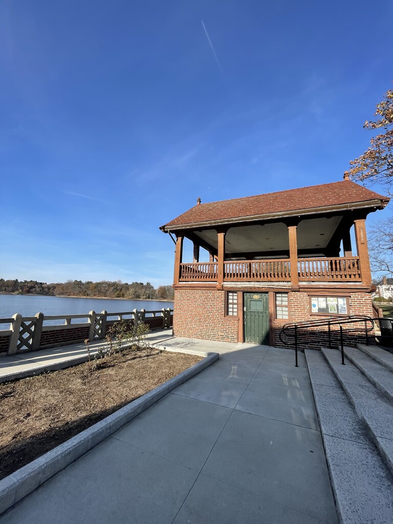
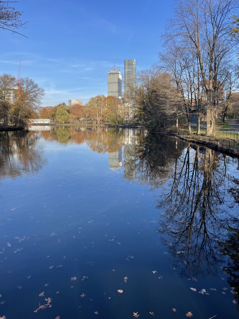
After the arboretum I got on the Emerald Necklace, a string of parks thronging the city of Boston that was designed by Frederick Law Olmsted of Central Park fame. I ran along Jamaica Pond and through Olmsted Park and the Riverway. The Back Bay Fens were next. That is where it is very noticeable that I was back in the city; the Prudential Tower and other tall buildings became visible as I made my way towards them.
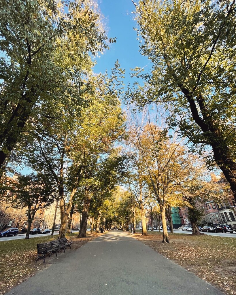
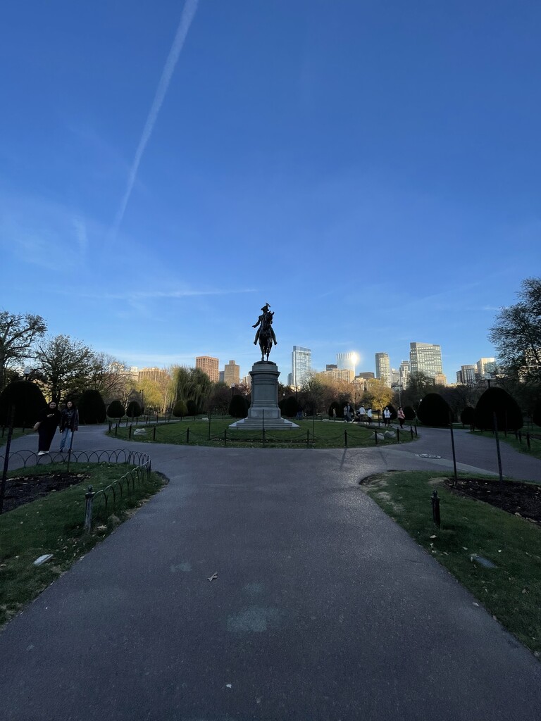
The home stretch was Commonwealth Ave, a flat straight shot with a greenway down the middle for pedestrians. A quick run through the Public Garden and into the Common and I was back up Flagstaff Hill to the finish!
This route was a ton of fun— From City, to Sea, to Summits! A true bucket list route for any Boston ultra runner! The variety of scenery and terrain made it pass quickly, and the many historical features along the way kept it really interesting mile to mile. Finish time was 08:29:23 for 38.85 miles. I beat the sunset by a couple of hours and made it home just in time for pie!
Gear notes: This was an unsupported run. High 20’s in the morning rose to 50 and sunny by mid day. Tights and a light wind jacket were just right. Salomon 10L running vest. I wore Adidas Ultraboost ATR shoes that served a perfect balance between the paved paths in the city and treacherous rocks and roots in the Blue Hills. Multiple PB&J sandwiches, Nuun, 6 gels, and a Reese’s Nutrageous bar for fuel!