


Motivation For The Challenge:
My ultimate goal when I set off on this route was to set a new FKT and break the previous record set by Patrick Curley of 53:13, but in the back of my mind there was always a second goal - to set a sub-50 hr FKT. I knew that to achieve this we would have to both plan and execute our strategy perfectly.
Preparation - Planning & Training:
Physical training began about 6 months out from this Challenge. I am no expert in running training, so I learned what I could from the internet. I didn't stick to a rigid, fixed plan, but instead fitted in runs wherever I could, working around other commitments I had such as school and karate. My main focus was volume - I wanted to work in as many kilometres as possible before the challenge began. Some days I would try to work in 3-4 runs to help get a feel for the nature of the challenge.
I didn't have the time to travel out to the mountains every day to train, so instead the majority of my fitness was built on the road. As I had been hiking my whole life, I was extremely confident of my navigation and ability to traverse terrains of all types - be it bog, forestry road, narrow singletrack, shaley slopes or grassy plains. While this may not have been the ideal training approach, I had no other option but to make this work.
Logistically, we began scheming & planning as soon as we had made the decision to tackle this monster challenge. The first thing I did was gather as much info as possible from previous FKT attempts - I downloaded all the routes I could find, noted the times, and read race reports.
Using Gaia GPS, I imported all the route GPX’s I could find. Then for each mountain I scoured the web, looking for areas where I could save both distance and time before creating a final route for each mountain. I was lucky that I had visited all these mountains at least once before, so i already had a fair idea of the conditions at each mountain. I think this definitely gave me an advantage when it came to planning.
Once I had the routes created, I put the distance and elevation gain into a google sheet where I could analyse each run and predict an average pace. By taking the average pace I had predicted and the distance, I estimated the duration of each run. Dad used Google Maps to estimate the driving times between each mountain. With all this data. We calculated I could complete the challenge in 50:53:32.
We decided that it would be best to start the challenge by departing from the peak of Mweelrea at 19:00. This would mean that most of the tough mountains were in daylight, meaning at night I could do the easier runs.
While most of my training was on road, I fitted in mountain runs whenever I could, mostly on my local Ballyhouras, Galtees and Knockmealdowns. As the challenge drew closer, I also tested out some of the other routes I had planned as I knew I had to be able to follow them perfectly in order to break the record.
We decided to kick off the Challenge on the 11th of July. We had originally planned for it to take place around the longest day of the year, but this clashed with my karate black belt exam so we moved the date back. The benefits of doing the run in summer were longer daylight hours and less odds of rain/fog (Although this is Ireland after all!). The only risks of a summer time date were extreme heat, but this was a gamble I was willing to take
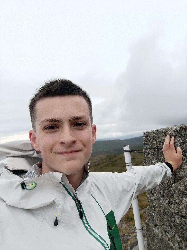
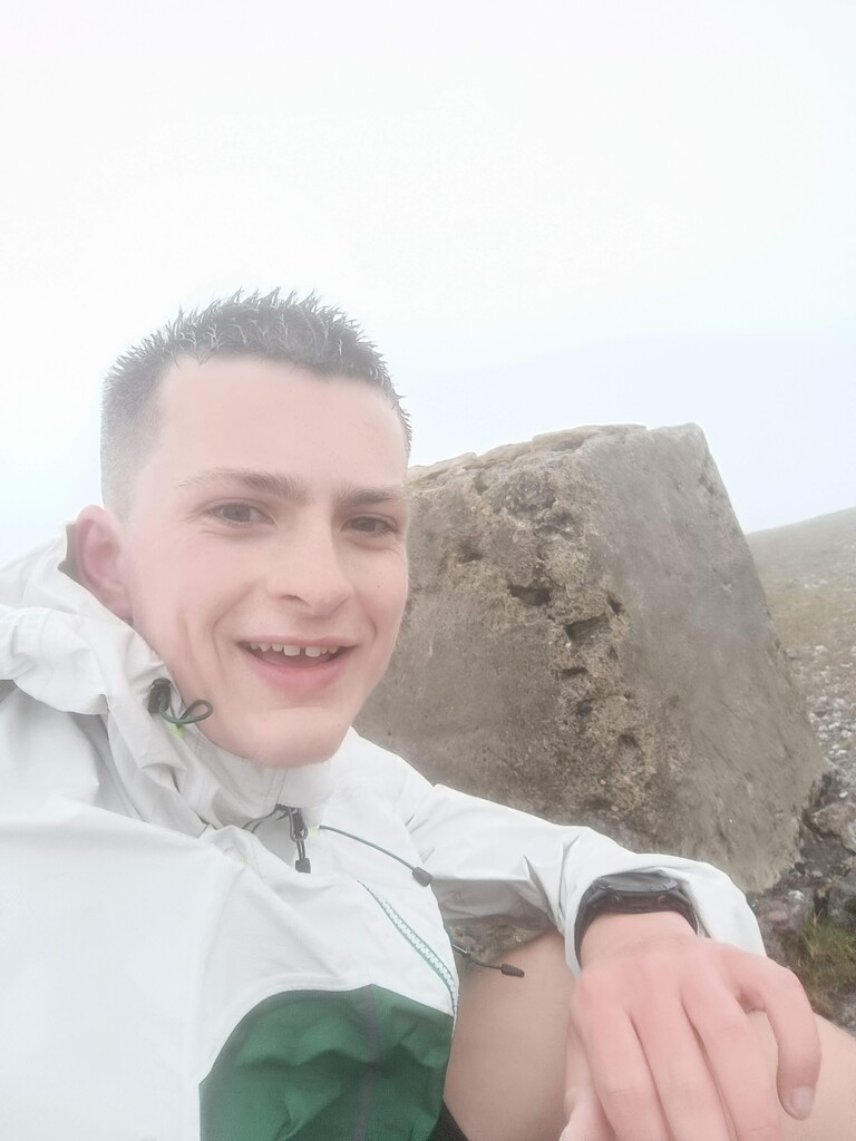
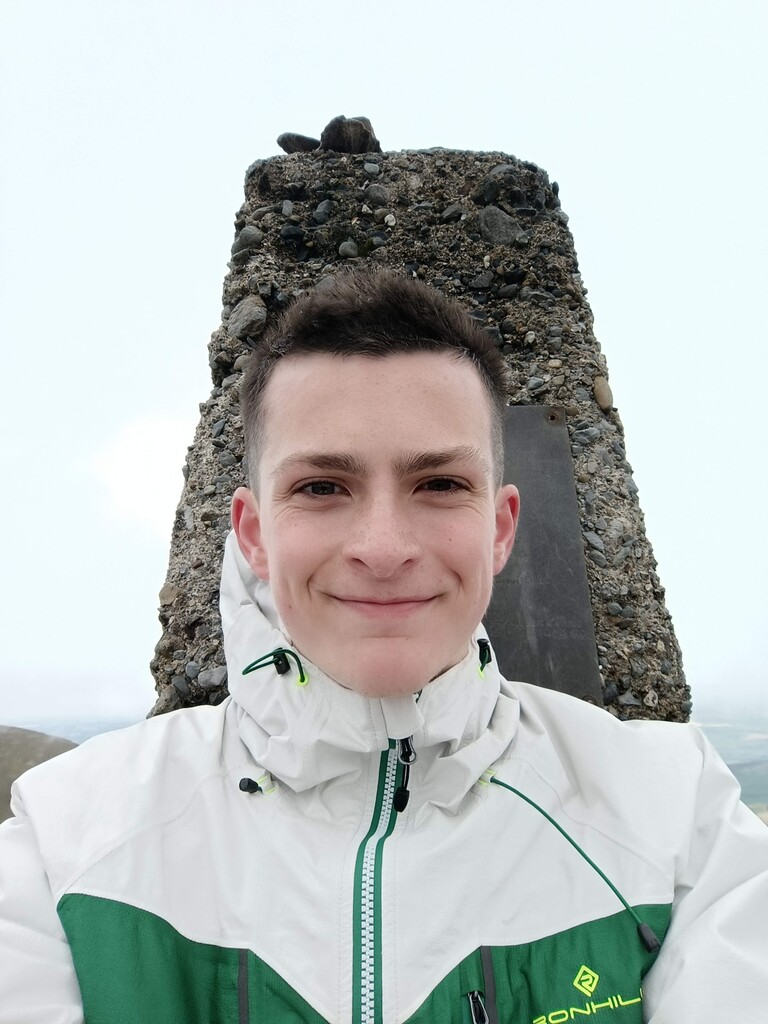
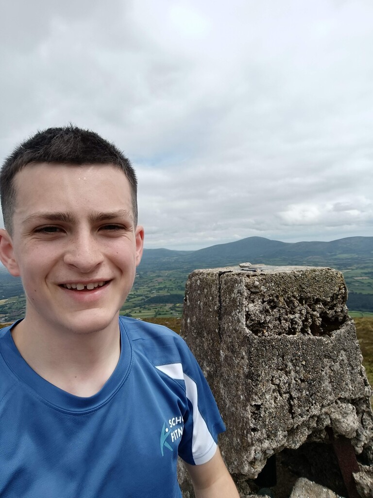
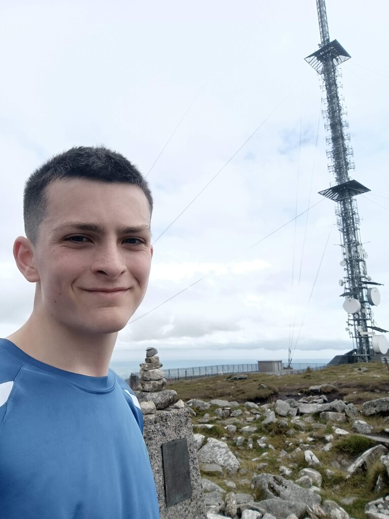
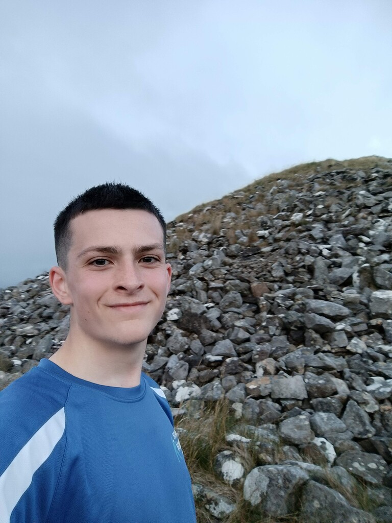
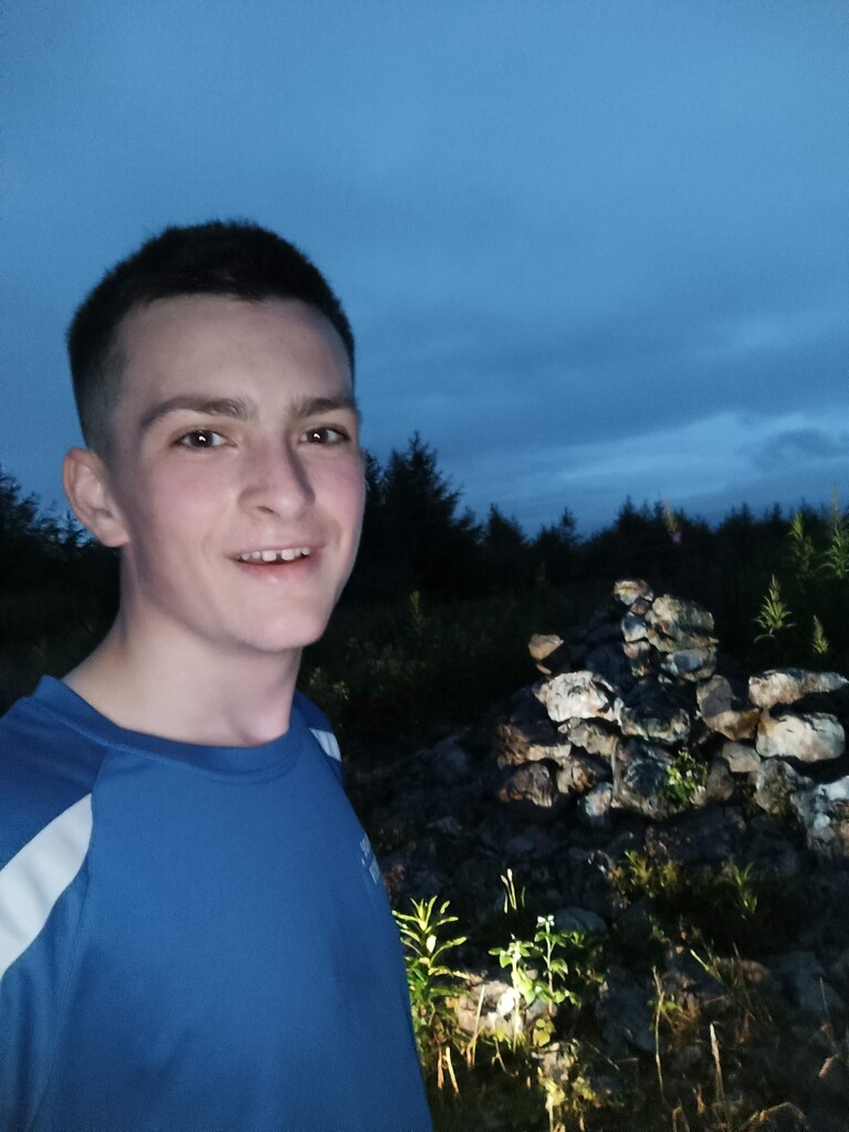
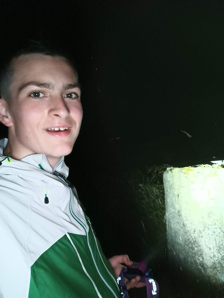
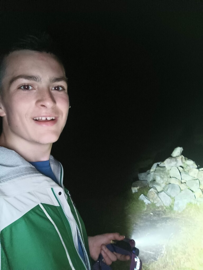
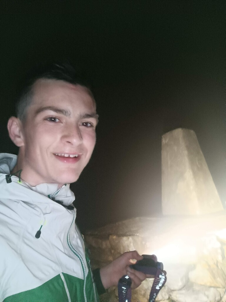
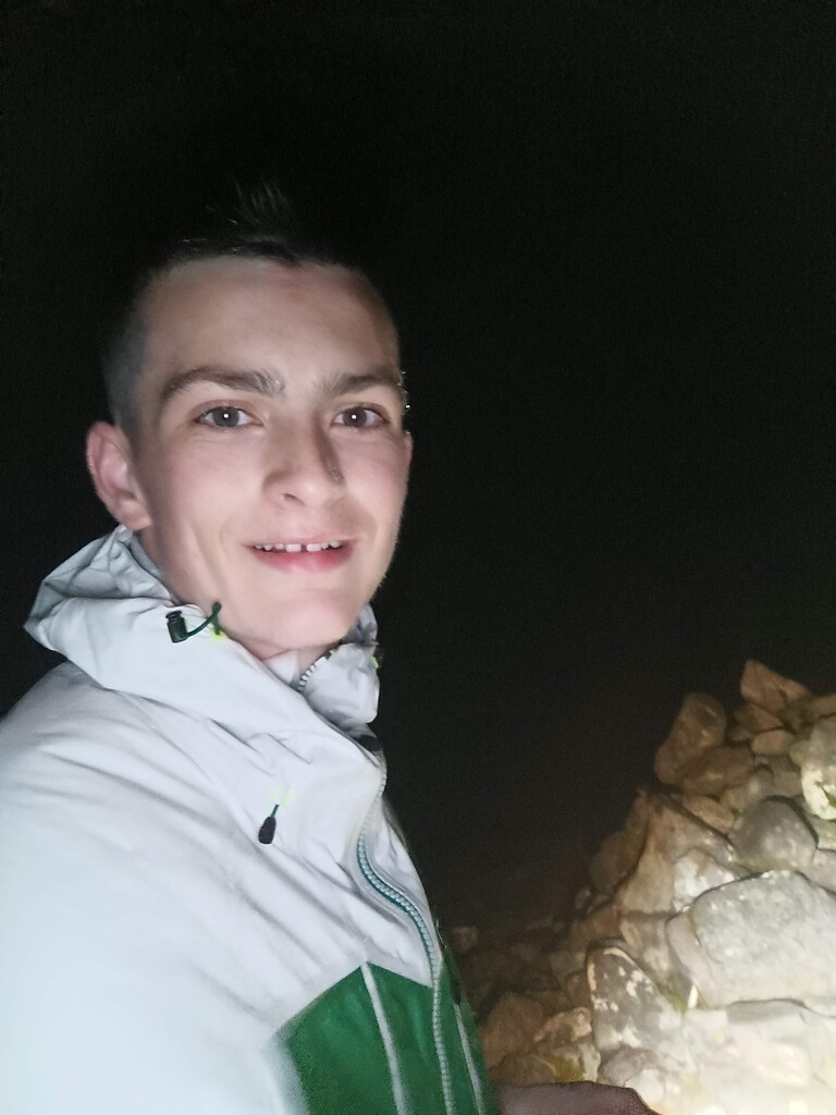
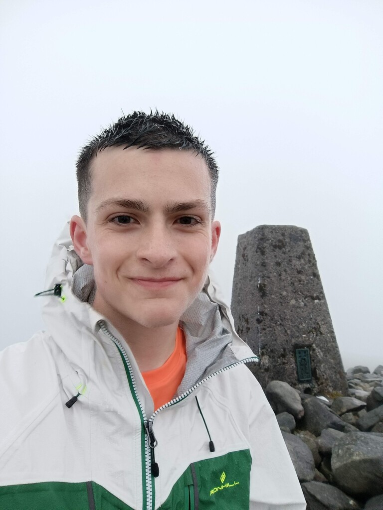
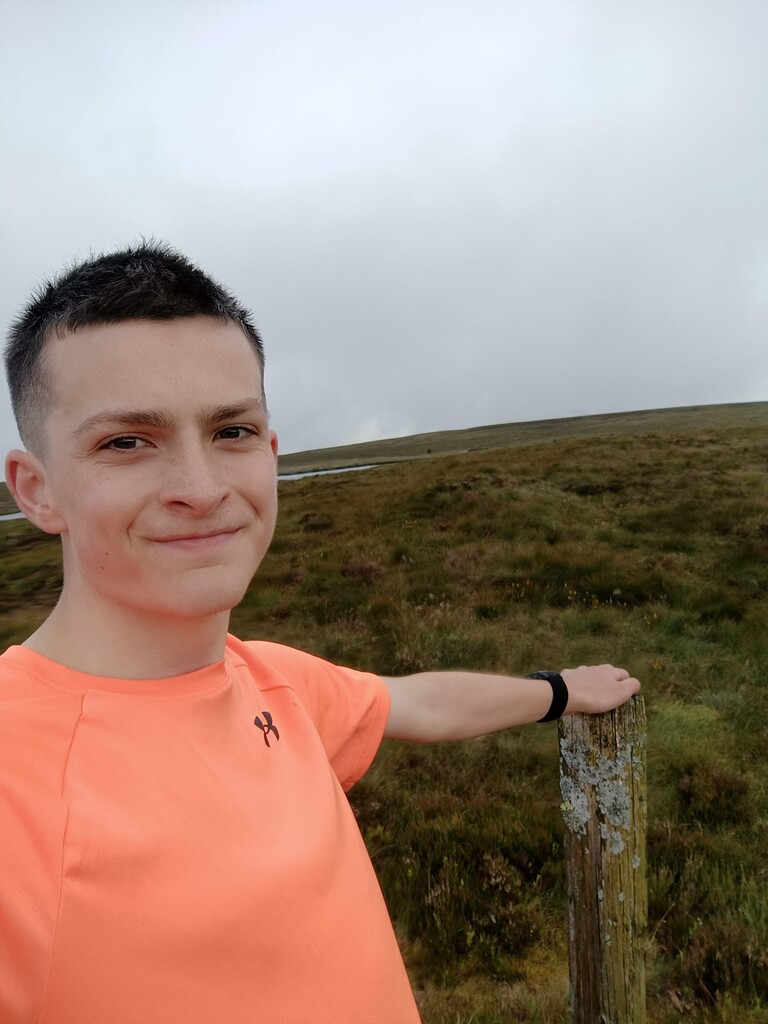
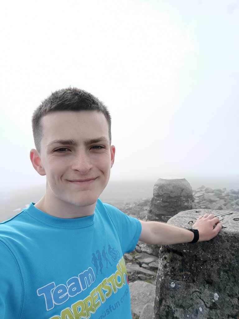
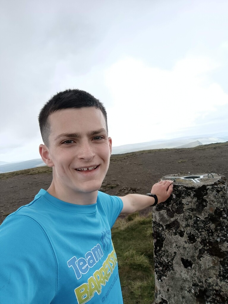
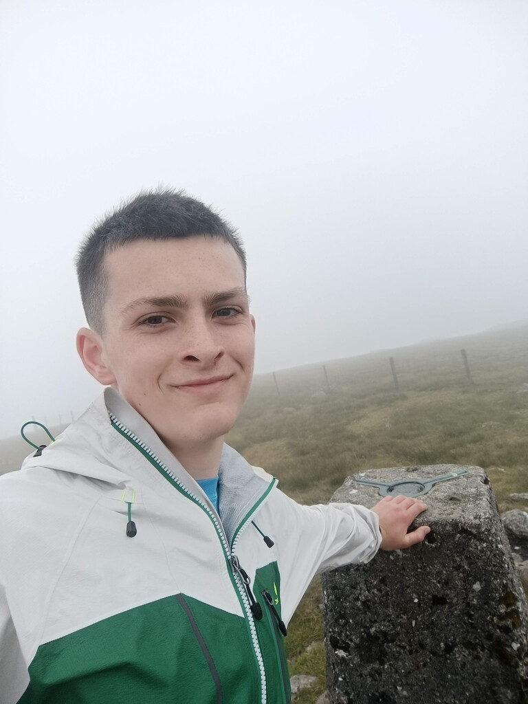
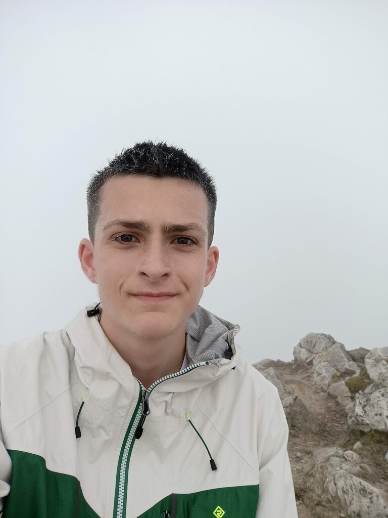
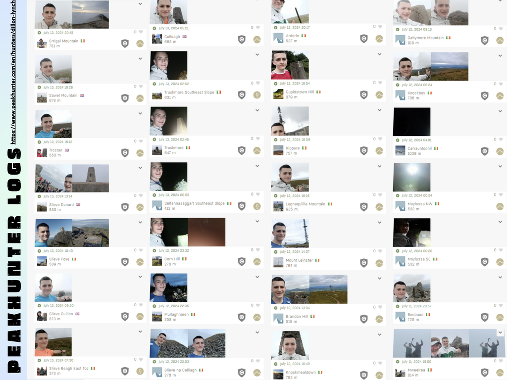
To verify our attempt, we decided to use three separate approaches. I would log each mountain on Peakhunter, a digital mountain logbook that uses GPS to verify your position. I also would record each run on my Garmin watch and finally we were very lucky to be supported by Primal Tracking who agreed to track the adventure live. This was brilliant as it allowed our audience to engage in a more interactive way. I would also take a picture at each summit.
We also decided to use the run as a fundraiser for Barretstown. This of course added an extra dimension to the planning as we had to convey the challenge through social media in a format that communicated the magnitude of the challenge to both the running/mountain community and the general public. We gave it a catchy name - “RUN32” and recruited sponsors who helped either kit us out for the challenge or helped us raise funds for Barretstown.
And so, with all this prep done, there was only one thing left to do - run the run!
EXECUTION - Running Ireland’s County High Points
We departed from Kildorrery at midday on Thursday 11th July and headed up the country, bound for Mweelrea, the start point of our challenge. We stopped off at The Tavern Bar & Restaurant in Murrisk on the way for a bit of grub, before continuing on towards Silver Strand and parking up by the entrance to a farmer’s track. We were soon joined by Liam Gavin A.K.A Hikeseekers Connemara.
Liam had kindly agreed to accompany me on the hike up Mweelrea and we set off around 17:00 strolling up gently, taking our time, indulging in idle chit-chat along the way. This was because the challenge timer didn't start until I left the top of Mweelrea. This was great as it helped take my mind off the challenge ahead.
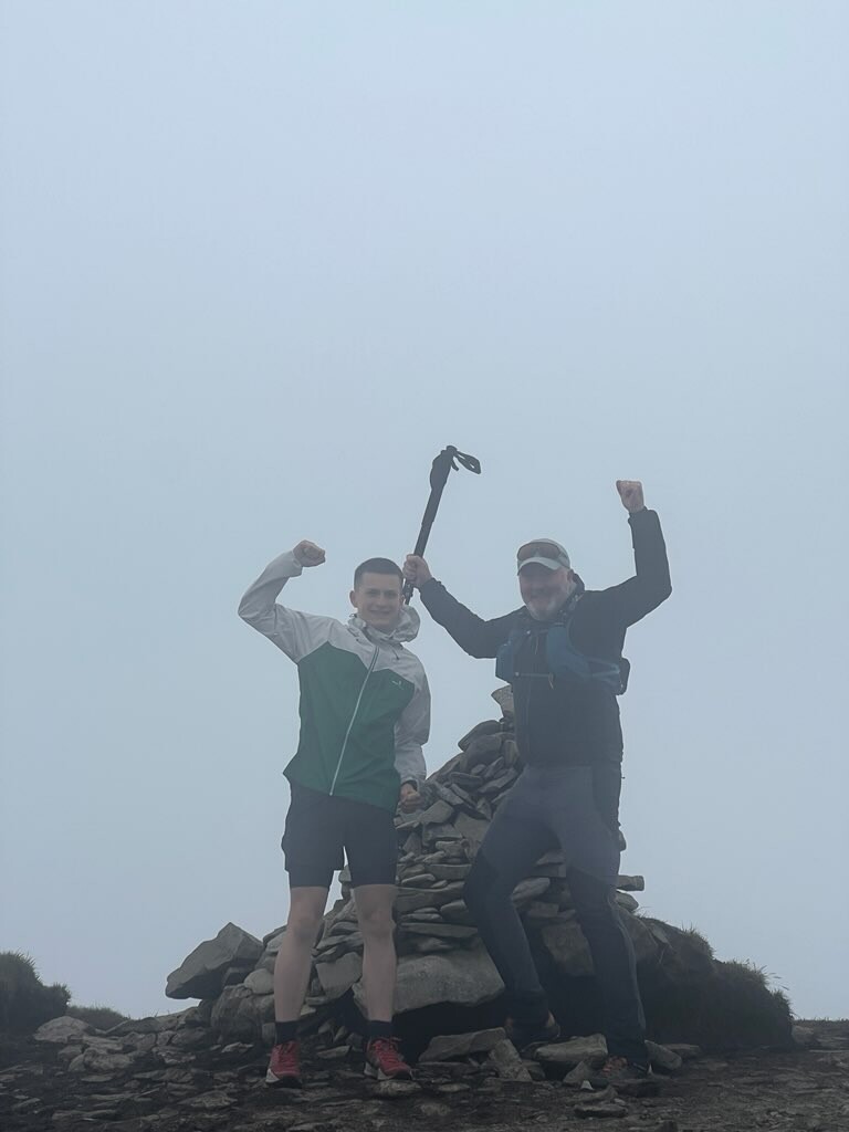
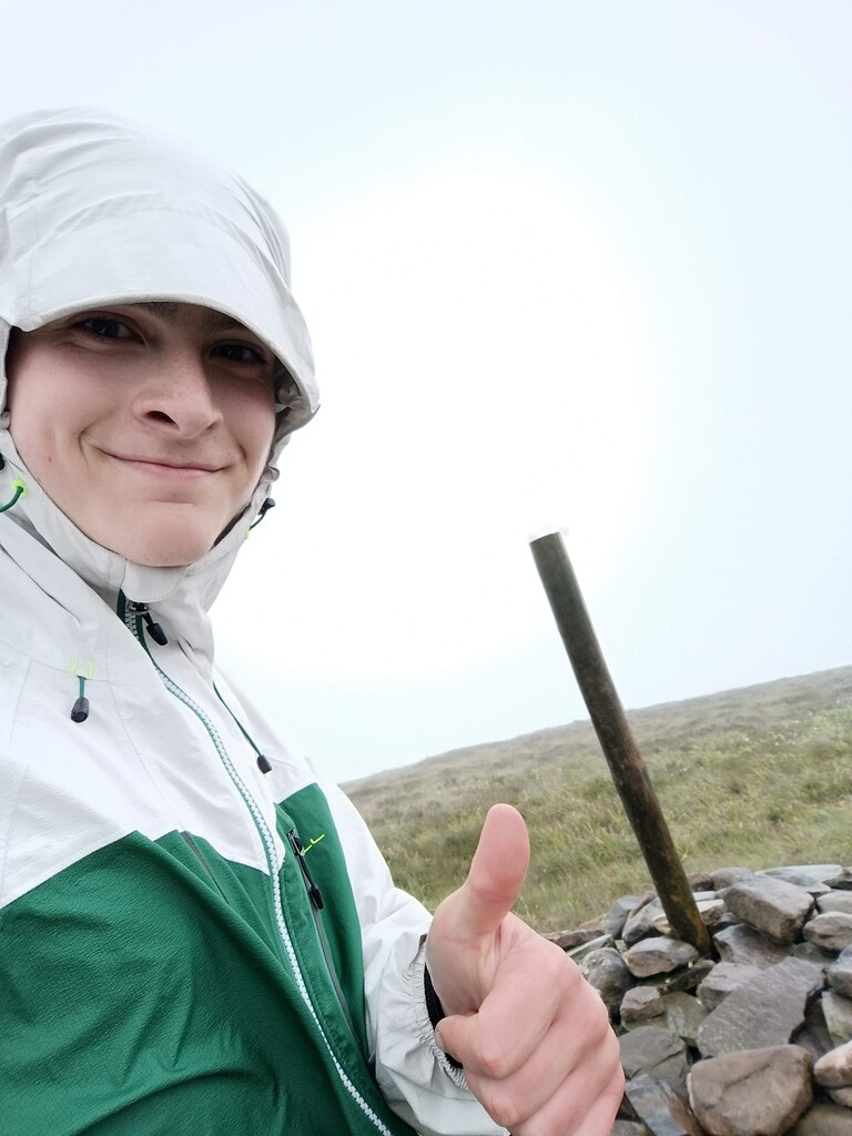
As we were a small bit early we rested for 20 minutes in a sheltered area a bit below the peak. We then made the final push to the summit around 18:45, leaving ourselves time to take some pictures.
At exactly 19:00 I logged Mweelrea on Peakhunter and set off down the mountain at lightning pace. I had estimated to be back down to the car in 22 minutes, but really decided to give it my all and I was back in the Skoda after just 17 minutes of running. Without a doubt my legs definitely felt the shock of covering 4.4km and descending almost 800 metres in that time! Thankfully, Mweelrea is soft underfoot so there wasn't much risk in the extra speed and I feel it definitely gave me a confidence boost going into this challenge.
A scenic drive through the Mayo Mountains, through Doolough valley and around Killary Fjord into County Galway, where I was soon bounding up the farmer’s road that leads into Gleann Chorabeth, where I crossed the Kylemore River (“Abhainn Chúl Mór”). In my rush for time I decided to neglect the stepping stones and just ran straight across the Ford, saving time but also getting shin deep in the icy water! Once I had crossed the river and proceeded until the end of the farm track, I turned up onto the open mountain and began the steep climb up the grassy walls of the valley. I found the climb tough for some reason and definitely felt a sense of doubt starting to creep into my mind.
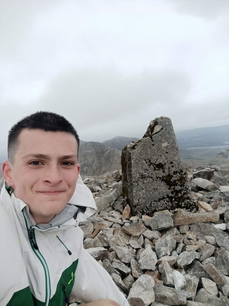
Soon I reached the ridge where I veered right and began to traverse the rocky “moon-like” surface of Benbaun. The going was still steep but I tried to push on nevertheless. I had found the track exactly the week before when trialling out my route, but I couldn't find it exactly this time so I just kept trudging on over the loose stone surface. When I reached the top I was on schedule and this helped to put my mind at ease. I think in reality I was just nervous about the amount of running ahead, it's pretty normal to feel a bit of physical strain on the steep slopes! I carried this mentality with me throughout the rest of the challenge. On the descent, the rocky ground did cause me a bit of pain - the sharp stones kept stabbing into the unprotected side of my shoe. This caused some bruising, but it didn't cause me too much bother. I made it down in good time, clocking my total run duration for Benbaun at 1:21:26.
By the time we pulled in at Ballycuggaran Forest Car Park and I had set off for Moylussa darkness had well set in. On reaching the top, it was no longer the 11th of July! Midnight had passed (only by 20 minutes) and we were now into the 12th of July. Moylussa has two tops of equal height and they are only a few hundred metres apart so I visited both the Southeast and Northwest tops. I was glad to cut a few minutes off my estimated running time here again so we were soon on our way to The Kingdom, because next it was time to tackle the highest mountain Ireland has to offer.
By the time we arrived at Cronin’s Yard, our starting point for Carrauntoohil, we were almost an hour ahead of schedule. While some of this time was saved on the runs, a significant portion came from our efficiency. Instead of lingering outside the car to change and clean up after each run, I threw my muddy and sweaty self into the back of the car, which we had covered with a tarp, and got ready for the next run while en route. This approach definitely helped us save time while still driving safely. Furthermore the Google maps routes were all estimated during the day so the lack of traffic at night meant some more savings in time.
Our original plans had me tackling Carrauntoohil just as it got bright but because we were running ahead I had no choice but to use my headtorch again and run through the darkness! The run was going pretty smoothly until I approached the foot of The Devil’s Ladder where I found it difficult to find the trail in the dark, and definitely lost a few minutes here. When I finally got onto the Devil’s Ladder and began the steep and technical climb, I began to experience cramps on the outside of my right thigh - not ideal considering I had 22 more mountains to go.
I powered on anyways, and was met by extremely thick fog when I reached the mouth of the Ladder. This, in combination with the darkness, made navigation extremely difficult. I could barely make out the ground below my feet, which made it almost impossible to find the path that leads through the scree up to the peak of Carrauntoohil. To top it all off, my head torch kept going into “power-saving” mode which outputs next-to-no-light. All these factors combined for a pretty scary experience, but luckily I have a lot of experience on the mountains and using my watch and phone to navigate I was able to make it to the top.
However, these conditions definitely slowed me on the way down. In my training I was able to zoom down these same slopes, but the fact I couldn't see where I was putting my feet obviously held me back. When crossing the bog at the base of The Devil’s Ladder, I somehow managed to lose both of my shoes at the same time, which resulted in what I can only look back on as a funny image - Me standing in the pitch black with a dodgy head torch, standing with just my socks in a bog, trying to pull out my shoes! Once I had slipped them back on I continued down the long (but safe) track to Cronin’s yard. It was only here that I noticed how drained I was, clearly after using all my energy to get up and down Carrauntoohil safely in these strenuous conditions. I had that feeling I can only describe as “empty” and by the time I got back to the car I felt like a ragdoll.
The drive to the next mountain, Knockboy, was just over an hour so I knew that I had to get a lot of food into me before reaching The Priests Leap. I quickly downed a Lucozade with a hydration tablet, had three brownies and started shovelling in some pasta. While eating the pasta I actually fell asleep a good few times which made the trip to Knockboy feel a lot shorter than it already was!
Thankfully, I had refuelled enough so that when we arrived I could jump out of the car and head straight for Cork's county high point. Out of all the runs in the challenge, the cramps on this one were the worst. Constant cramps on the inside of my thighs really slowed me down on the ascent, forcing me to adopt more of a “duck-hobble” instead of running. Luckily, this was a short run (4.73 km total), and the cramps didn't bother me at all on the downhill. It was a close call near the car when I almost took a wrong turn, following the incorrect fence, but Dad saw me going off course and shouted, saving a minute or two!
Next, we headed for Galtymore, a local mountain I had already trained on several times in preparation for this challenge! So needless to say I knew it like the back of my hand. During the two-hour drive, I managed to refuel well, but was slightly disheartened to see the first rain of the challenge as we neared The Black Road Car Park. Fully focused on the run it probably looked like I ignored my first supporter of the challenge, Pat Boland as he got ready to head up for Galtymore too, despite the rough conditions.
As I set off running for Galtymore, I quickly discovered I was plagued by cramps. Fortunately, these disappeared after about 10 minutes once my legs had loosened up from the drive. The drive between mountains, which can seem like a rest, presents unique physical challenges. There is no time for warm-ups or cool-downs, so you go from 100 to 0 when you sit in the car and from 0 to 100 when you step out!
As I ran up The Black Road, I was confronted by an extremely strong headwind, making it difficult to reach the paces I had planned. Even in training, I always found Galtymore to be a mentally tough mountain. The Black Road looks easy, so I always imagine I'll hit road-like paces, but in reality, there is a fair climb and the uneven surface doesn't help either. To combat this, I decided not to look at the pace or time on my watch until I reached the bog. This worked well and left my mind free to focus on battling the wind instead.
As I reached the end of The Black Road, two supporters emerged from the fog—my sister Rachel and Nicholas Tierney. It was a great support to see them, and I also got a good laugh when Rachel tried to run along with me and face-planted into the turf! When it was time to cross the bog, I was glad to be sheltered from the roaring winds by Galtybeg. This didn't last long, though, as when I reached the cliff edge I would handrail to reach Galtymore, I was met by sheeting rain and hailstones. However tired I had been on Carrauntoohil and Knockboy, this woke me up!
On the way back down, I was cheered on by supporters Patrick Boland, Brian Toomey, and Noreen. It was absolutely amazing to get all this support, and it really helped to spur me on through the wind and rain. Despite the tough weather conditions, I still managed to make it down with a time of 1:16—only four minutes over my planned time! I was delighted with this and got some electrolytes in as I headed for Knockmealdown in the car.
At the base of Knockmealdown, I was met by even more supporters! A huge thanks to my nana Pauline Lynch and everyone from the O’Brien family who came to cheer me on. A special thanks also to my mother, Gillian Lynch, who brought fresh supplies and a hot dinner for me to enjoy when I got back down - a great motivation to get Knockmealdown out of the way quickly! The conditions were fair, and I made good time, returning to the car after just 59 minutes.
Up to this point, every mountain I had completed was challenging. However, after Knockmealdown, the difficulty started to ease off for a while, which was extremely welcome! While Brandon Hill, the county high point of Kilkenny, was pretty steep with a 12% gradient it was only 4.7km long so I was able to power through it and after only 34 minutes we were on the road yet again!
After Brandon Hill came Mount Leinster - a 5km steep run up a mast road to the trig marking the top. The sun was beating down on me for this one, which was certainly a welcome change! I found the road mentally challenging as there wasn't really anything to focus on other than my pace, which at the time I thought was a bit slow. On the way back down, I didn't fully let go and held back a bit to try and save my knees for the rest of the challenge. Steep tarmac descents are unforgiving! I met another supporter at the base of Mount Leinster - Jeniffer Dempsey - who gave us some much needed jellies and a couple of t-shirts to help us on our way.
Next up was the county high point of Dublin, Kippure. Similar to Mount Leinster, Kippure also has a tarmac mast road. Kippure however is over twice the length at 11km and hence a lot less steep. For the tarmac runs I did wear earbuds, I found the music helped to pass the time on the “boring” roads. I found Kippure relatively easy and it was great to see my aunt Catherine supporting me at the base. She also brought a lovely Chicken Snack Box which helped to fuel me up for the next few!
Cupidstown Hill, arguably the easiest county high point, was my next target. A simple 500m flat road following a forestry road brought me to the trig, and after another 500m run I was back at the car with a total time of only 5 and a half minutes! If only they were all this easy!
And luckily for me, the next few pretty much were that easy! I ticked off Arderin, Slieve Na Calliagh, Mullaghmeen and Corn Hill with ease. After all, the distance and elevation gain for all 4 runs only summed to 9.12km and 375m! Of course the difficulty here was going from warm muscles to cold muscles again and again and again. I was glad to be met at Arderin by even more support from Martin Sheehan and his son Conor. All this support helped remind me that there was a goal to be achieved and definitely helped to give the best I had.
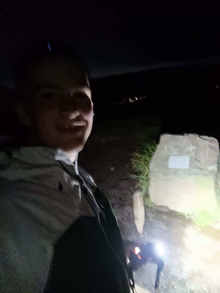
After those four easier runs came Truskmore and Truskmore Southeast Slope. It was 2:05 am when I set off up the tarmac road, and mental fatigue had definitely set in. The combination of darkness, dense fog, and the monotonous road made it feel like I was getting nowhere, as the only visual change was the dotted yellow line on the road. This messed with my head, and during the ascent, I decided to cut the corner of a switchback and go straight up the extremely steep mountainside. This was risky since I couldn't see much in the darkness and fog. I even had to scramble up an even steeper rocky section, something which would have deterred me from taking the shortcut had I been able to see it. Once I rejoined the road, I trudged on, feeling like a zombie and alternating between running and walking. I set small targets for myself like "Run 40 steps" or "Run until you pass 10 white lines on the road."
After what seemed like forever, I reached the mast and found the trig marking Truskmore, the county high point of Sligo. After logging that, I trudged across the wet boggy surface for a few hundred metres to find Truskmore Southeast Slope, the county high point of Leitrim. Then I rejoined the road but took a break by lying down on my back on the tarmac. Although this wasn't a physically tough mountain, the darkness, fog, my tiredness, and the length (9 km) made it harder than it should have been. I only allowed myself to rest for 60 seconds to avoid falling asleep, then headed back down the road. At the same switchback, I foolishly took the same shortcut down. It was way too steep, and I had no choice but to slide down on my bum. I had forgotten about the rocky section and cut my hand trying to slow myself down. I also lost my phone twice when it slipped out of my pocket, but luckily I found it because I had music playing through the speakers after forgetting my earbuds. This shortcut was by far the worst decision of the entire challenge, risking a serious injury. In the end, I only saved about a kilometre, which definitely wasn't worth the hassle. Only when I got back to the tarmac road and saw my bloody fingers did I realise how risky it had been. I was lucky to make it down with just a few scrapes.
On the drive to Cuilcagh, I refuelled and took a quick nap. Dad felt nervous watching me set off up Cuilcagh, unsure if my body and mind were in the right place. Luckily, I had trialed this route just a week before, so I knew it well. Instead of approaching via the popular "Stairway to Heaven" boardwalk, I chose the opposite side via Benbeg. This route saved some distance and elevation gain, making it a worthy trade-off. Morning had broken, and despite the fog, visibility wasn't too bad, which helped. When I returned to the car with this one in the bag, it was a huge confidence boost, and I knew I was back on track to smash the record!
The morning sun was shining down on us again by the time we arrived at the start point for Slieve Beagh East Top, Monaghan’s county high point. This is one of the more unique mountains in the challenge. On paper, it's not too bad—only 6.5 km with a 115 m elevation gain. In reality however, the top is surrounded by bog with no clear route, so the only option is to battle your way across the rotten surface. The fastest way is the shortest way, as the bog is equally horrible everywhere. On the way back, I took a slightly nicer route that involves fighting through waist-high reeds, but the ground is more solid underfoot. This route is only worth taking on the way down, as the reeds and extra distance would slow you down when ascending. I was glad to get this one out of the way since I was worried I could lose time here, but I actually managed to save another 2 minutes!
Armagh was up next, it’s county high point, Slieve Gullion, is a short but extremely steep climb, with an average gradient of 18% over the 1.25 km climb. The path up is beautifully done, with natural rocks paving a walkway to the summit. However, I found it difficult to run on, struggling to keep a steady cadence both ascending and descending. I even took a tumble on the way down after accidentally kicking a rock, but luckily landed safely on soft ground. It was daunting to think that the next two mountains I had to face were both longer and steeper than this! There was no time to dwell on it though; as soon as I was back down, I hopped in the car and we were off!
Slieve Foye was a 3.7 km climb with a whopping average gradient of 23%. Most people ascend from Carlingford, but I opted to approach from the opposite side to save some distance and climb, though it was undeniably steeper. By the time I reached the top, my legs were burning, and I realised I hadn't accounted for the steepness when estimating how long it would take. I ended up 13 minutes over my predicted time. Thankfully I had saved time on other mountains, so this wasn't a huge setback overall.
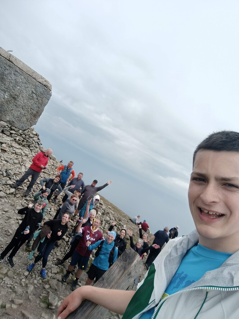
Overall I think Slieve Donard was the toughest mountain of the entire challenge. It boasts an average uphill gradient of 17.3% over 9.6km kilometres. Also as it is placed towards the end of the challenge, I definitely wasn't going into it with fresh legs. I knew as I set off that if I could just get this one out of the way the finish line would be in sight, and that thought helped to carry me up the steep slopes of Down’s highest point. As I reached the top I was met by Eunan Quinn, Race Director of the Seven Sisters Skyline. It was great to chat with him as I reached the top and I was amazed to see many more runners and hikers waiting at the top to cheer me on. I couldn't believe that all these people I had never met before knew about and were following me as I ran the challenge, it was truly amazing to see all these people out supporting me. I took a quick selfie with everyone at the top and didn't waste time before setting off bounding down the mountain. When I reached the car I was glad to discover Dad had gotten me a lovely ham roll and a box of chicken tenders to fuel me towards the finish line, which was getting closer and closer!
Trostan was boggy and the 140km I had already run was definitely starting to affect my pace. To compensate I was able to take a neat shortcut which saved about 800m and helped me return to the car only 2 minutes over my predicted time despite running slower than planned.
There was a bit of a panic when I returned to the car, as we had our first serious navigation issue. Without mobile data, we couldn't load the Google Maps route to Sawel, our second last mountain. We had no choice but to pick a direction and drive until data came back 15 minutes later. Meanwhile I used GAIA GPS, the mapping app I normally use, to load a map to get a rough Idea of the route. Unfortunately, we had picked the wrong direction, adding about 15 minutes to our estimated driving time. Things were tense in the car after this, as we both felt the pressure of being so close to the end—there was no room for error!
The knowledge that I was so close to the end helped me power up Sawel, despite the boggy and fairly steep terrain. At this point, I wasn't even trying to avoid the bad sections of bog; I just trudged straight through them. Navigation-wise, Sawel is extremely straightforward—I just followed the fence to the top. I could feel a serious strain at the back of my left leg as I descended, but knowing the finish line was near, I just powered through it. As I got closer to the car I could see a tractor and sheep trailer parked near Dad and in my head thought “not another delay”. The friendly farmer had agreed to let us depart before them though so all was well.
Before I knew it I had arrived at Errigal, the last mountain of the challenge. I hopped out of the car one last time and set off up the newly refurbished trail. Hopping out of the car 26 times might seem like one of the easier parts of the challenge, but mentally it is quite tough to consciously step out of the cosy and comfortable car and begin running over and over and over again. However, Mam was there this time, waiting in the car park, to give me the extra motivation to do it one last time.
I wasn't surprised that I felt pretty weak heading up Errigal. Knowing that the finish line was so close kept me giving it my all and by the time I reached the top I can honestly say I had nothing left in the tank. That didn’t matter though because I had just set a new FKT of 49:45:17. Words can't even begin to describe how I felt to have smashed the record, a combination of exhaustion and elation! Dad followed me up walking so I was soon joined by him and and after a quick social media update I dug into a bag of Haribos as we walked back down to the car, challenge completed.
Luckily we didn't have far to travel to The Station House Hotel in Letterkenny to rest up for the night.
Reflection
Overall I am overjoyed with how the challenge went. My goal was to beat the record and set a new FKT, but in the back of my mind I knew if I gave it my all both in training and during the challenge I had a fair shot of achieving a sub-50 time. I only told a few people about this “secondary” goal before the challenge but during the challenge it was constantly at the front of my mind, forcing me to push on and waste no time.
I am extremely proud of how we logistically executed this challenge. While over an hour was saved just by running quicker, we saved a lot more time by not hanging around at the base of mountains etc. Another decision I made was not to stop to thank people who came out to support me. While this may seem harsh, those 30 seconds I spent talking to each person would easily have added up and I couldn't afford to lose that time
To whoever takes on this challenge next, I wish you the best of luck. It won't be easy to break the current FKT, but if you fully devote yourself and learn from my mistakes I have no doubt that with some serious dedication the record can be broken. Here are a few things for anyone attempting in the future that I know will help to make an attempt successful
- When it comes to your team, less is more. The only person running these mountains for the challenge was me. I had no guide runners or pace runners. This was a conscious decision as there is no doubt that you would lose time on the change-over and meet-ups and farewells. There was only one other person in the car with me and that was Dad, my driver. I was lucky that Dad, having hiked all these mountains countless times and being a skilled hillwalker himself, had great knowledge of what I was going through and of the challenges I was facing. This allowed him to get everything ready for me in the car while I was gone, saving me lots of time for sleep.
- The hop ins and hop outs must be quick. There is no time to dilly daddle at the base of mountains. I can confidently say that from the time I left the top of Mweelrea to the time I arrived at Errigal, I was constantly on the move be it by foot or by car. I only ever stopped to go to the bathroom. As soon as the car pulled up I was out and running, and I hopped right in after each run.
- Stick to the plan. If the plan is good enough, you should never have to break from it. On Truskmore I didn't stick to the route and that could have cost me a lot more than a few cuts and scrapes. A good plan is something that you can follow no matter what condition you are in.
- Solve problems before they happen. At the start of the challenge, I didn't take in enough electrolytes and this led to cramping. I was able to fix this by taking extra electrolytes to compensate but it was far from ideal and the cramps slowed me down on the runs. I should have been taking electrolytes in from the start rather than waiting until it was too late.
- Lastly, enjoy it! It is an amazing challenge to undertake and whether you fail, succeed or land somewhere in between you should be proud that you gave it your all.
If you are thinking of undertaking this challenge, feel free to get in touch with me - I would love to help in any way I can.
Thank You.
I would like to say a huge thanks to my dad, Patrick O’Brien. Without him, there is no way I could have completed this challenge. He helped all the way through, be it giving me spins to mountains, helping me plan the logistics, and of course driving between the 26 peaks which is a major feat in itself. He helped me keep my eye on the ball throughout the whole challenge and his rational decision-making kept us on track throughout.
Another big thank you to my mam, Gillian Lynch, who not only kept us supplied with all the essentials we needed throughout the challenge but also played a serious hand in managing the social media. She also made the long drive to Donegal to be with me once I had the challenge completed.
Thanks to the previous FKT setters - Shaun Stewart, Lonan O’ Farrell, Carolyn McKinney and especially Patrick Curley. Each one of the times you set amazed me and proved anything was possible. It took everything I had to set this time, and I learned a lot from your previous attempts. There is no doubt that you all helped to pave the way for my attempt.
A huge thanks to all the main sponsors that helped kit me out for this challenge and those that donated to Barretstown. Thanks to:
- School Fitness Ireland for kitting me out with footwear to get me across over 150km of mountains.
- Primal Tracking who helped bring everyone along on this adventure by traking me live throughout this challenge. This helped to take a lot of stress off of my mind as I didn't have to worry about the GPS side of things, so thanks so much!
- Bob Flavin and Skoda Ireland: Without the Skoda Octavia VRS, there is no doubt that the challenge would have been more stressful, with the added worry about our car, it's reliability or suitability for the task. The extra space, comfort and reliability the Octavia provided was paramount to the success of the challenge.
- The Edge Sports Superstore who helped to kit me out for this challenge and also donated to Barretstown.
- Shoe Rescue, kindly supplied some of their product and also donated to Barratstown.
- Accountants Plus Ballincollig, sponsored Running shorts and fuel for the challenge.
- Hyland Bros LTD Building Contractors and The Booley House Show who also donated to Barretstown.
And lastly, the biggest thanks goes to to everybody who supported me and Barretstown throughout the challenge. Whether it be by liking a post, leaving a comment, donating to Barretstown online or meeting me in person, I can guarantee you it all helped to spur me on throughout the challenge. I am so proud to have been able to take everyone along with me on this journey and help raise some much needed funds for Barretstown, a brilliant charity.