
Ric's Report:
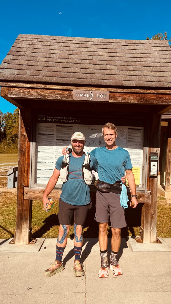
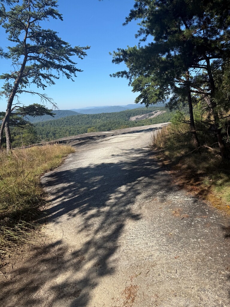
We left Stone Mtn State Park at 10:08am on October 1, 2026 feeling great. We breezed across the summit and started our trek to link up with the MST. Once we got on the MST, we descended to the East Prong of Roaring River. Good cold water down there! The climb to the Blue Ridge Parkway began from there. Steep at times and relentless. We found good cold water about halfway up. So nice to have! Once we got to Devils Garden we came upon our first cache. We had water, food, & electrolytes waiting for us. I had gotten fairly hot and sweaty on the climb so I was trying to keep pushing and keep my heart rate low.
We headed west on the MST towards Doughton Park. The terrain was much more forgiving once we got onto the ridge. I was starting to notice I didn’t have an appetite and was developing cotton mouth. I knew I needed to keep eating no matter what so I did my best. We pushed through the campground and on to the Bluffs Restaurant where we had a cache of good cold water. We refilled water & electrolytes and were on our way again.
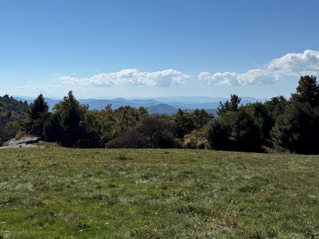
Doughton Park has some amazing short balds. It was hot but the breeze was nice. I continued to have no appetite but was doing my best to eat. The descent from Basin Cove Overlook to Pruitt Cove was great. We had another cache there. This one had a cooler with a cold drink and Uncrustable! I was able to eat a couple of those and we replenished our needs until the next cache.
Pruitt Cove to Darnell Woodie was uneventful. Some climbing. Some descending. Mostly through dense forest. We had a water cache at Darnell Woodie Rd. We were pushing to Don Bare Rd to get to our lights before dark. We made it right as it was getting very dark. Drew had me sit down for a few minutes. I needed it!
The next several hours were tough. No appetite. I was in familiar territory but it all felt very foreign in the dark. Horse Gap Cache came and went. I knew there was climbing in this section and it sucked as much as I thought it would. I was just counting the miles to Deep Gap and a hot meal at my truck.
We arrived to Deep Gap & my truck and all I wanted to do was go to sleep. I was very unsure of myself in my ability to finish, but Drew told me that I was too stubborn to quit and that helped me a lot. I sat there for a few minutes. Then popped blisters, changed my shorts, retaped my feet, put on new shoes and socks, and managed to eat some of a hot meal. We loaded up for the next section and took off. Knowing we had a 50k left was refreshing and maddening at the same time. The next 10ish miles had the most road sections of the entire route. Luckily, on all the road sections there were no cars at all.
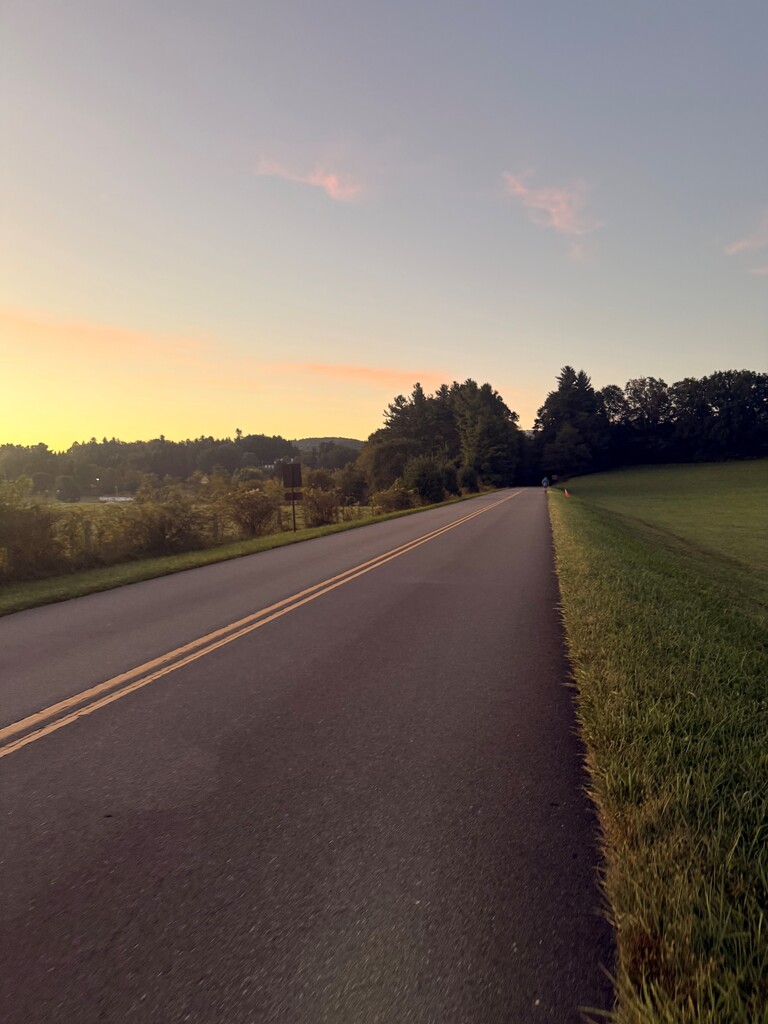
We had a beautiful sunrise on the Road right past Boone’s Trace. On to Goshen Creek for some amazing cold water. Then to George Hays for a quick food resupply. The cow pastures that lay ahead of us were unfortunately wet. This added to the suck of the uneven ground in the pastures. Thank goodness they are short. Crossing Raven Rock you have an amazing view of Grandfather Mtn. Reminding you of how far you’ve come. And, how much more you still have.
Next stop was Old Camp Catawba. More good cold water and a good cache. Drew told me we are going to, “Power hike these carriage trails like Blowing Rock Moms!” So that’s what we did. The climb up to the descent to Shulls Mill felt like an eternity. I was starting to have serious discomfort in my left hip. But we pressed on.
Ahead lie the Boone Fork Trail. I had quietly been dreading this section. As if the universe knew that, only 10 minutes in I get stung by yellow jackets. Then proceeded to almost tear my shirt sleeve off. Needless to say, I was ready to be done with this section.
We finally made it to Drew’s truck at Holloway Mountain. We had made the decision to sit in the truck for about 30 minutes with the air conditioning on. We had cold drinks and I shut my eyes for a few minutes. It was all over too fast and we restocked our food and headed out for our last miles.
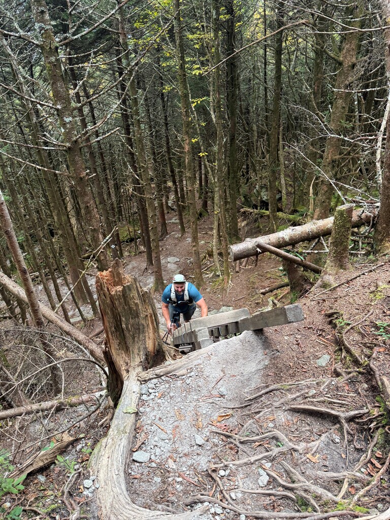
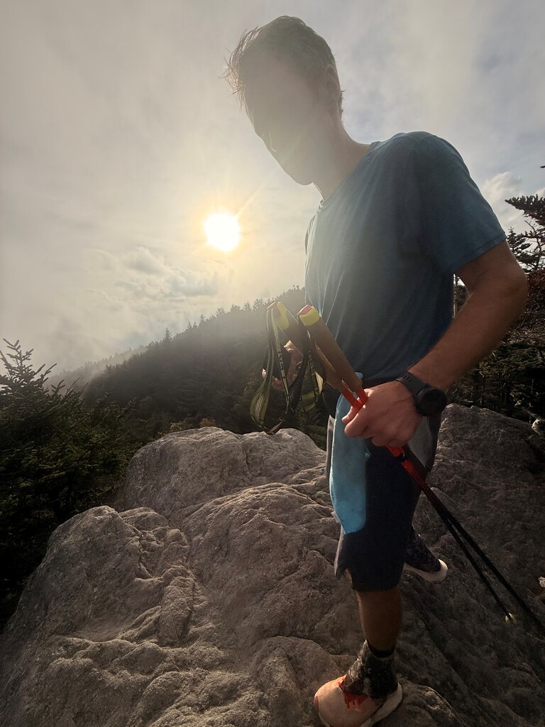
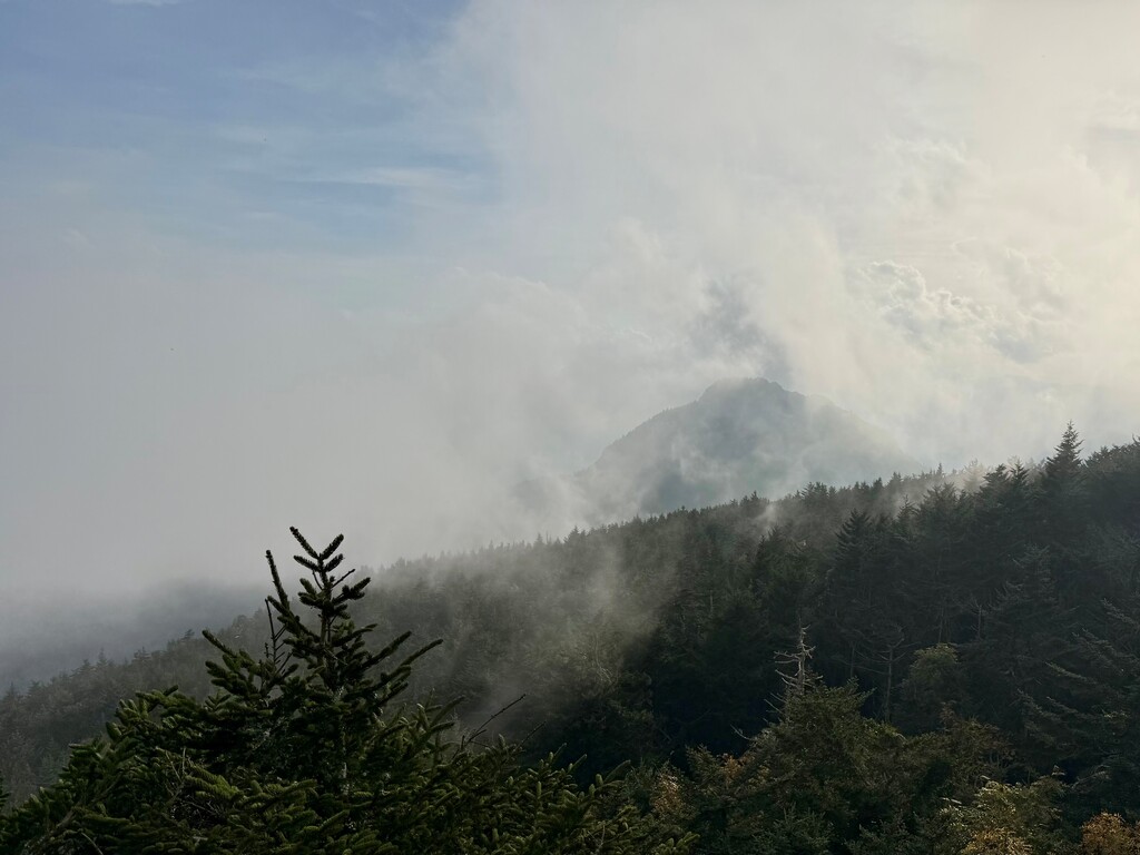
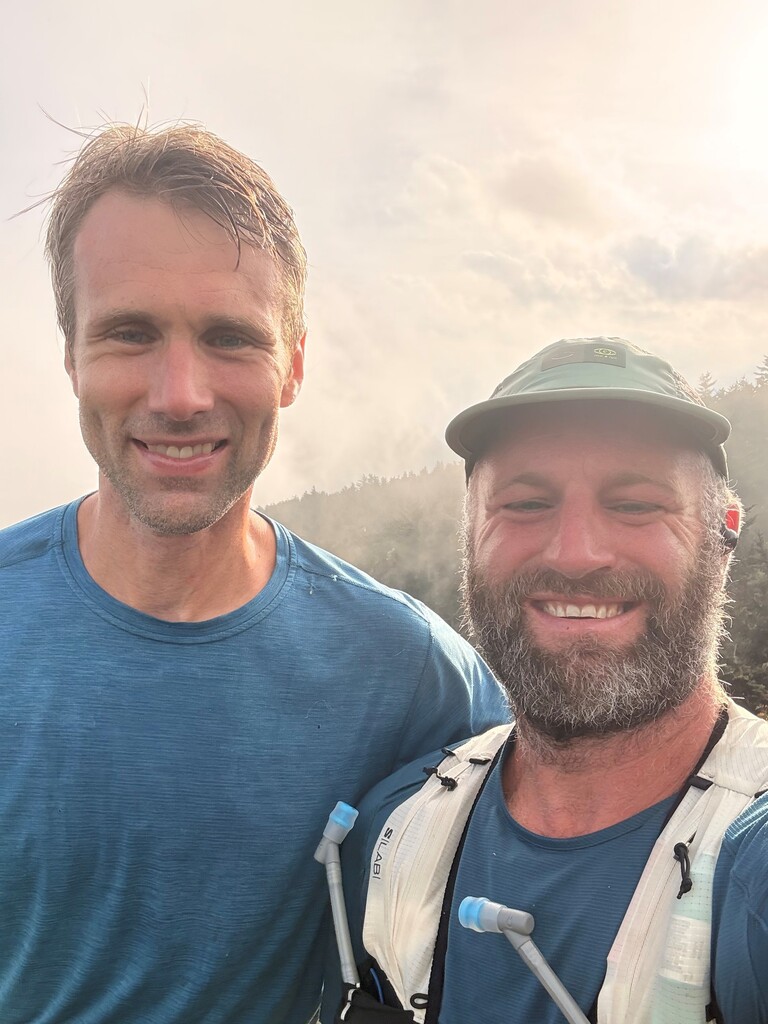
The trek to Daniel Boone Scout Trail Head was uneventful. We had decided to take the Grandfather Climb one step at a time. We knew what we had in store. Each step hurt by now. But, we tackled the challenge head on. Seeing the first ladder up Calloway was amazing. Albeit difficult to climb at that point. Minutes later we were standing on Calloway Peak! We high fived, hugged, and took selfies. Grandfather was showing off with a cloud layer to our east and clear to the west. It was 6pm and time to get off this mountain before it got dark.
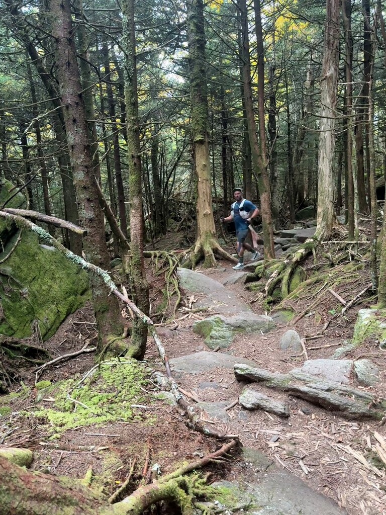
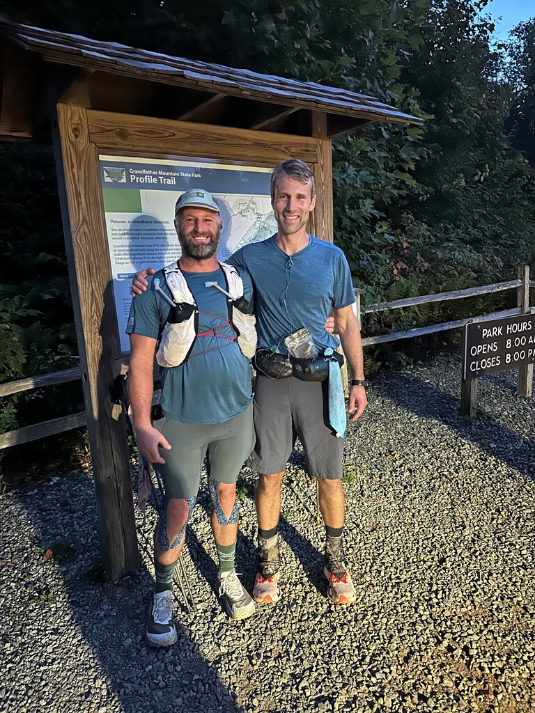
Down Profile Trail we go. The rock staircase hurt. It all hurt. We stopped at Shanty Spring to get one last bit of cold water. Down we go. Feeling every step and feeling so excited at the same time. Going past all the familiar landmarks on the Profile Trail. Hearing the traffic get closer, knowing the trailhead is near. Darkness is starting to set in. Then, just like that, we are done. Our families are waiting for us at the end, making it that much better. We touch the trail head sign and stop our watches at 7:32 pm on October 2, 2026. We did it!
Drew's Report:
I had been excited to attempt this route since helping my good friend Foster Ramsey on his FKT in October of 2022. Living on the flanks of Grandfather, much of the terrain that this route traverses feels like my backyard, and starting at Stone Mountain should have a comforting feel like I am headed home!
I originally hoped to attempt in October of 2024, but Hurricane Helene ravaged the entire area just before I had planned to set off. My schedule finally aligned to make an attempt somewhere in early October of 2026. Training was less than ideal, with 2 children at home our family cycled through viruses constantly in the weeks leading up to October. My good Friend Ric Wilkinson sent me a text while he was vacationing in Mexico over the Summer, asking if I had any fall runs planned. I told him about StoneFather, to which he (or the tropical drinks he had consumed that day) texted back that he would want to join. Sweet! Now to dial in the logistics.
Originally, I was planning on attempting this route unsupported, but after some thought, self-supported seemed like the better option, especially since the trail crosses the Blue Ridge Parkway so often. We created gear and water caches along the route that we could resupply from, water every 6 ish miles and food/gear every 10-20 miles. We looked at the calendar and decided that October 2 & 3 should work for us both. As the date approached, the forecast looked wetter and wetter, especially the day of the 3rd. We ultimately decided it would be better to bump our start date up to Oct 1 to stay dry.
We left the Upper Bathhouse of Stone Mountain on Oct. 1 at 10:08 am, making our way up the unique namesake granite dome that almost feels like the moon. Temperatures were already warmer than I had hoped, and the early October sun was asserting its power with no clouds in sight. After going up and over Stone Mountain proper, we descended to a road crossing and down to the East Prong of Roaring River, linking up with the MST trail in the process, which we would then follow until the last 6 miles of the route. Despite the warmth and humidity, spirits were high as they tend to be early on. After some nice, canopied trail cruising, we began the first major climb in earnest to Devils Garden Overlook. This climb took us both a bit by surprise, it was quite steep right off the bat and sustained for most of the way. We both kept a manageable steady pace and settled in for a while. After a few miles we could at least feel the air cooling off with the elevation. We arrived to our first food stash at Devils Garden Overlook, a little over 11 miles in. From here, the trail crosses and parallels the Parkway for a long, long time. I was enjoying the trail and the scenery, all of which was new to me. We eventually made our way to the Bluff Mountain Trail, which featured high balds and expansive views. Ric pointed out a view of Grandfather Mtn.; you could just barely make it out in the far distance. Still a long way to go!
The next few hours were relatively uneventful - quite warm, sunny, beautiful. One of my favorite sections of the day was a small portion of trail after the Basin Cove Overlook. Just mellow downhill enough to run with little effort, buffed out and consistent. I was doing some quick math realizing we should be able to make it to our headlamp stash before night, but it was going to be close. Shadows crept quickly, the sky turned its different brilliant colors, and the trail, especially under thick canopy, started to turn black. We finally got to our lights about 35 minutes after sunset. We took time here to regroup and get pumped up for the 12-hour darkness. This was also our last food for 20 miles, so we needed to be sure to stock up with enough calories. I was hoping the night would cool things off but it still felt quite warm to us, at least in the first hours of the night. We pressed on, occasionally spotting a racoon or possum or fox. I cleared so many spiderwebs from the trail with my face. Tried to stay positive, but the hours started wearing on us. Still, we trudged on, past Cascades, Tompkins Knob, then eventually the descent down to Deep Gap and an extensive regroup.
Both of our feet had taken a beating already by Deep Gap (mile 55), so we taped up as best as we could, boiled water for a hot meal, changed light batteries, and took a minute to rest for the next section. It was 3am at this point, so fatigue was no doubt setting in.
The remainder of the night miles were slow and quiet. Lots of roadside sections that went on for a long time. When the trail would cross the road, often there was a large section of tall grass before entering the woods. This grass was soaked with dew, and both our shoes ended up as wet as if we had just fully submerged them in water. I did not plan for this, and it most definitely accelerated both of our foot problems.
The sunrise and promise of a new day gave us a nice jolt of psyche as we approached the Goshen Creek area. We both felt ok for this climb, I was appreciating our progress and thankful we were that much closer to home. Slow climb to Thunder Hill, then gradual downhill to 321 and Old Camp Catawba Rd. We had stashed the ability to boil water for a warm breakfast here but decided to keep it quick and get the carriage trail portion underway asap. Power walking these carriage trails as fast as we could. Eventually crossed the A-frame stile over a barbed wire fence and descended to Shulls Mill Rd, then to Old Johns River Rd and Boone Fork Trail. Our feet had checked out by this point, and searing pain accompanied every step, especially one on any sort of off-cambered surface, which Boone Fork has plenty. By now the day had warmed up, and we were dealing with the heat again, this time even a bit more so. We made it to the Holloway Mountain Parking area where I had left my car with gear for the last section. We both took some time to try and cool down & rest before the final miles. We also realized we may be pushed to finish before the sun goes down, which was a somewhat depressing thought.
I tried to enjoy my home trails, but it was tough. Slowly made it to the Daniel Boone Scout Trail to begin the final climb that had been weighing on my mind all day. The leaves up high on Grandfather were unexpectedly so beautiful, you genuinely could not tell they would be this peak from the bottom! I have done this climb so many times, but this one felt at least 3 times as long as normal. Arrived at the summit of Calloway just before 6pm, greeted by blowing fog and clouds interspersed with blue sky making for a beautiful dramatic scene.
All that was left was to hobble down the Profile Trail, wincing with each giant rock step, then traversing the final winding section leading to the Profile Trail Parking and the finish of the route. We came upon a sign about 300 feet from the finish that said “Hikers must be off trail by 7:30”. Looked at my watch, it was 7:30 on the dot! Glad we could abide by the rules. Once we could see the trailhead kiosk, I heard some voices and was greeted by my children and Wife! We touched the Kiosk, hugged our families, and had a nice conversation with a Park Ranger who was closing the facility down for the evening.
All in all, it was a great experience. This route is beautiful and was considerably more difficult than I estimated. It was awesome to be able to share this experience with a good friend, what an adventure!