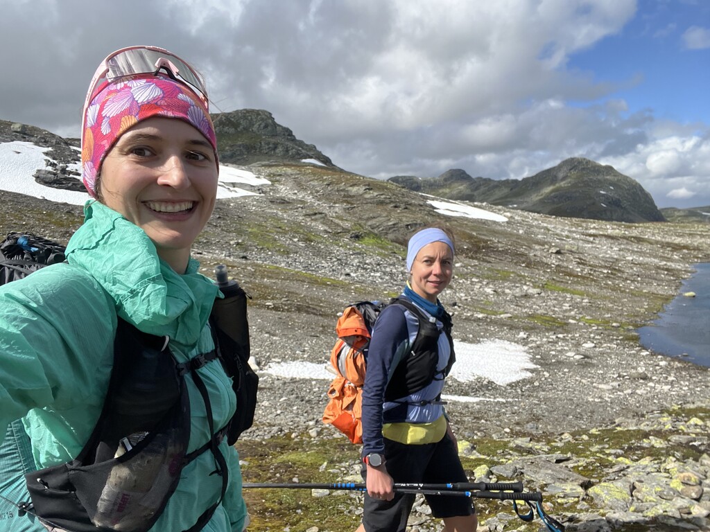
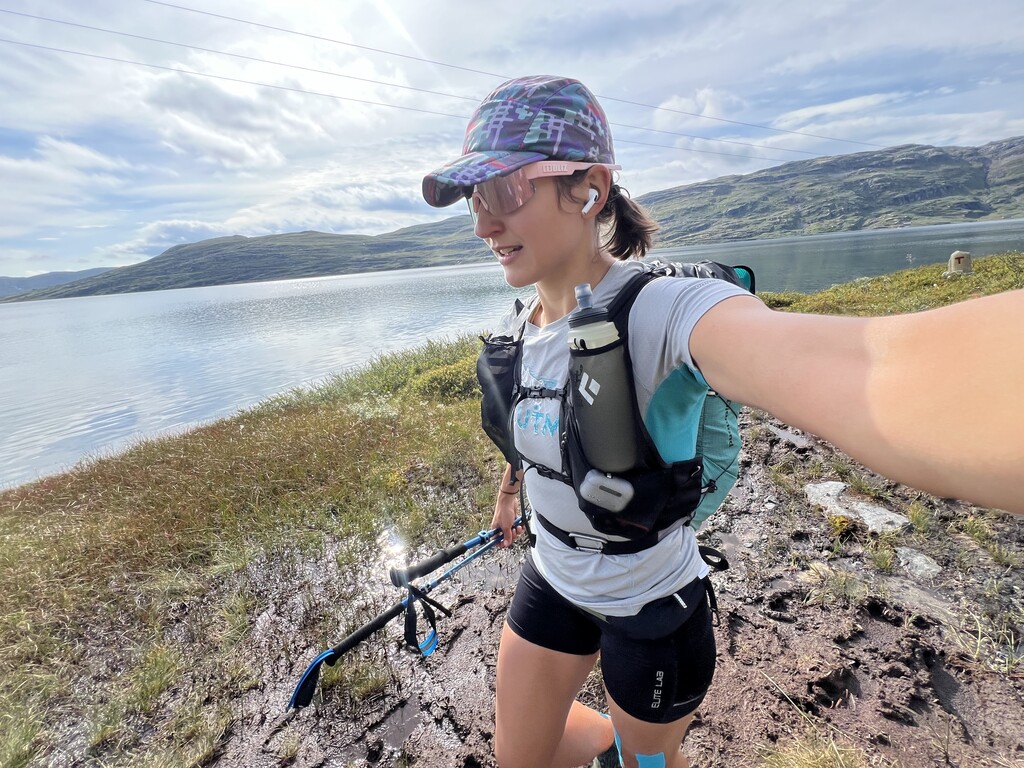

This was my second stab at the route, as I have attempted it in 2023 but had to quit 2/3 of the way through due to injuring my ankle. I ran the first half together with a friend, and the rest of the time I was alone but supported by my husband who met me with the car at nearly every road crossing from Skarvheimen onwards.
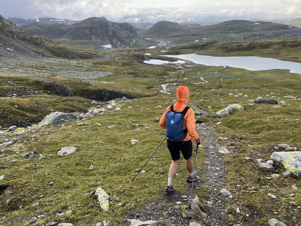
In contrast to my attempt last year, this time I completed the route in the south to north direction. The main reason for this was that the forecast for the first few days was completely dreadful, and we rightfully figured that we would be better off on the flatter, more mellow trails of the Hardangervidda than in the exposed, remote and high alpine terrain of Breheimen and Jotunheimen. But there is actually a lot to be said for doing it this way. Although you end up with more total elevation gain, this way the route starts out easy and gets progressively more and more demanding, letting your body gradually adapt to the load. It is also a lot more satisfying to be moving towards the big mountains, as opposed to away from them - and seeing the peaks of Hurrungane appear on the horizon around the midway point, and then get closer and closer until you are walking in their shadow, gives a very real sense of the immense distance you are covering. The final sections are the most challenging, but also the most beautiful and remote, being a perfect grand finale.
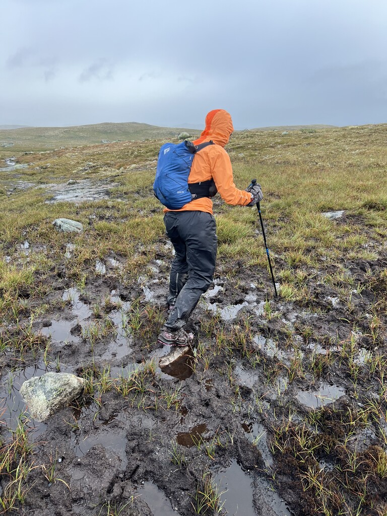
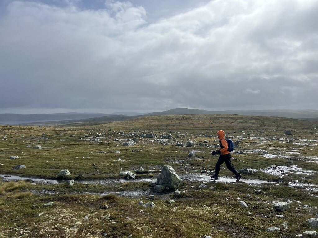
The weather was overall pretty typical for western Norway, that is to say, mostly quite bad. I had one warm sunny day with no rain at all, 2 days with full-on storms where there were almost no dry moments, and the rest of the days were a mix of rain, wind, sun and fog in varying proportions. The weather sometimes ended up limiting the distance covered per day - if you are lucky enough to get a long good weather window, the route can be done significantly faster at almost the same effort level.
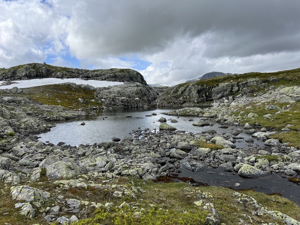
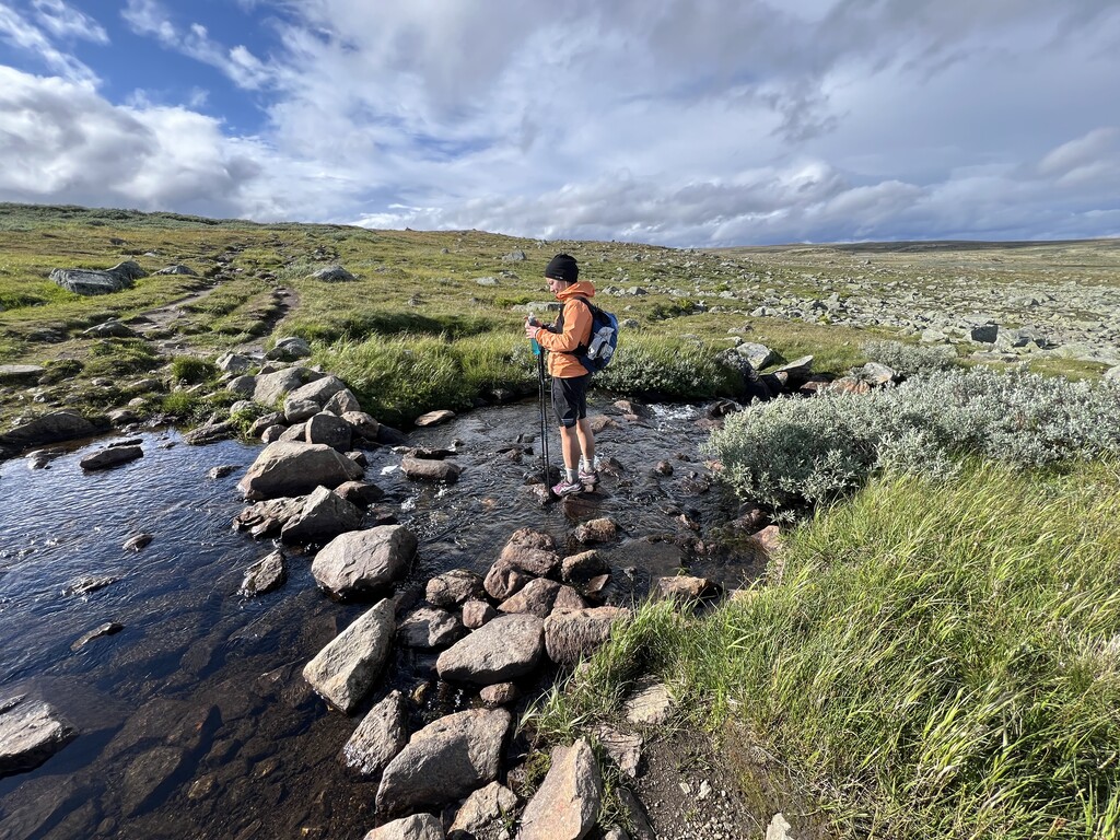
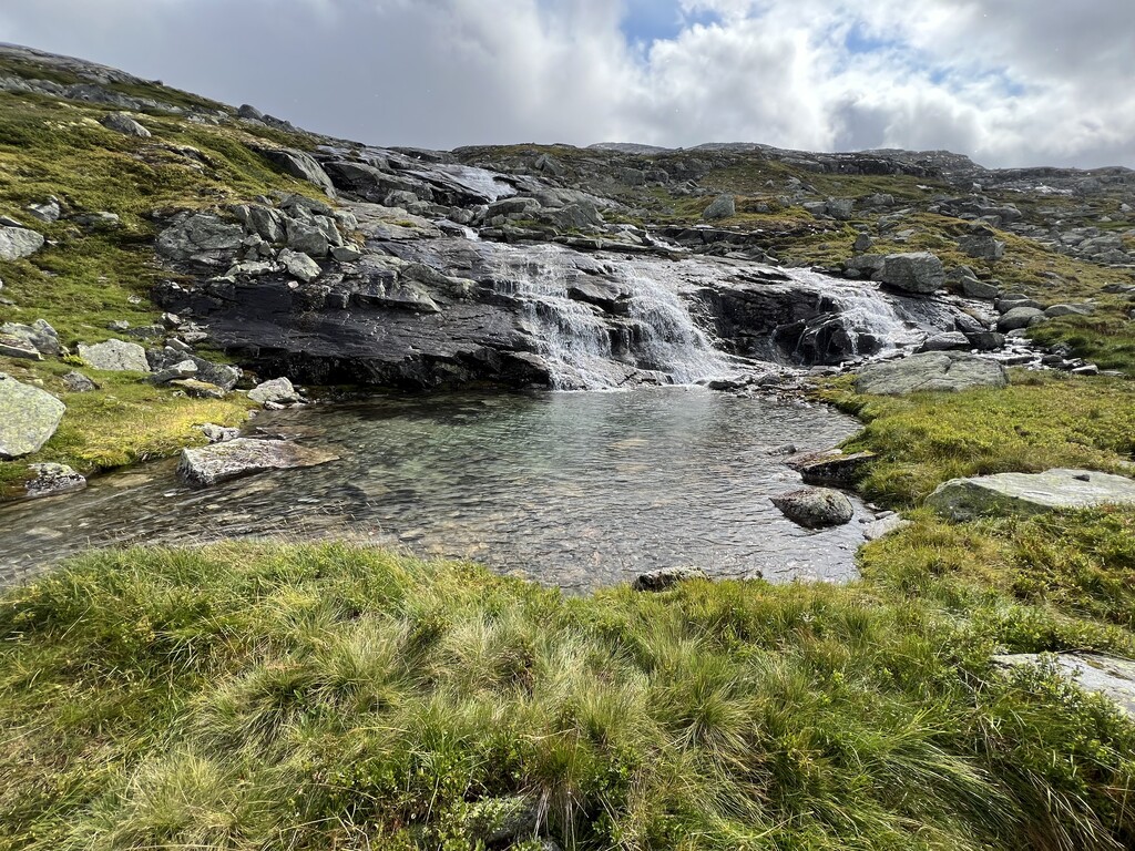
I mostly stayed at and ate at DNT cabins, with 2 nights spent in our van. Water was never an issue, and I only carried one soft flask that I refilled in streams, which there were always plenty of.
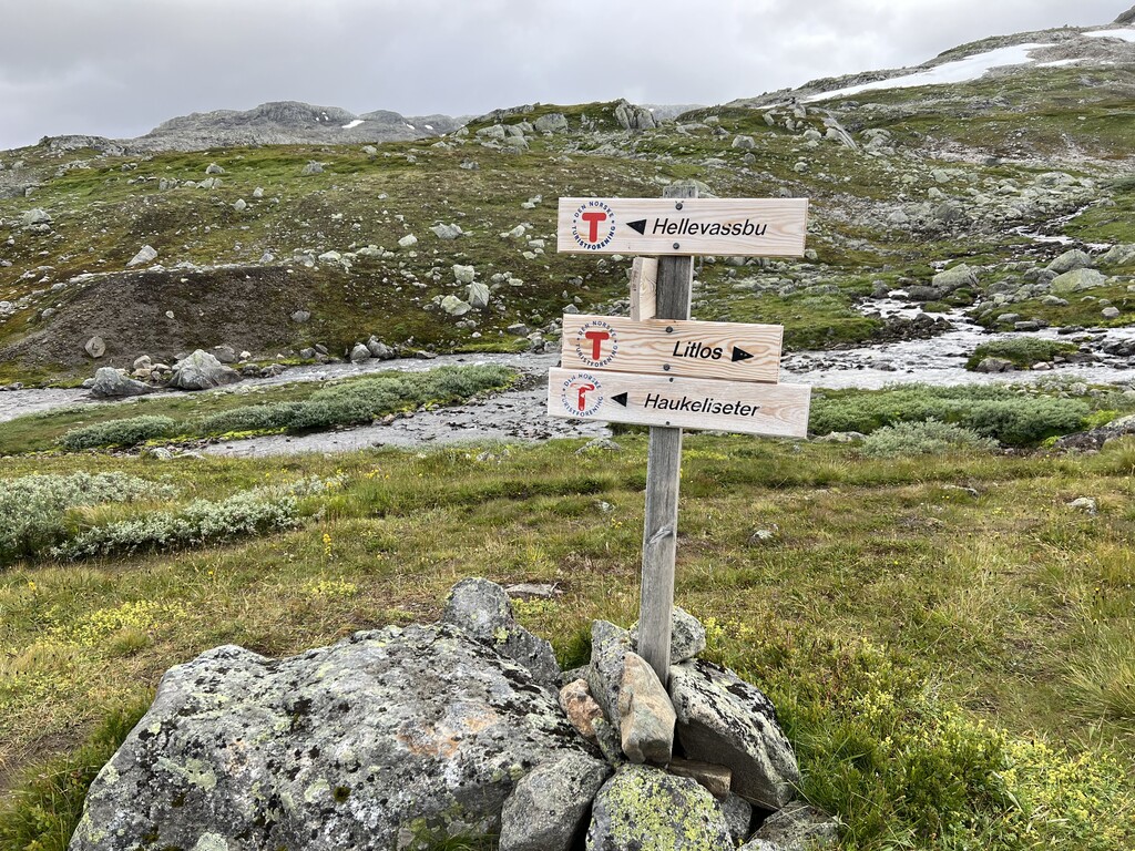
Day 1. Haukeliseter-Litlos. Started just after 2pm after taking bus from Bergen. Nice scenic terrain and good runnable trails. Enjoyed the dry trails while they lasted. Had a small break at Hellevasbu.
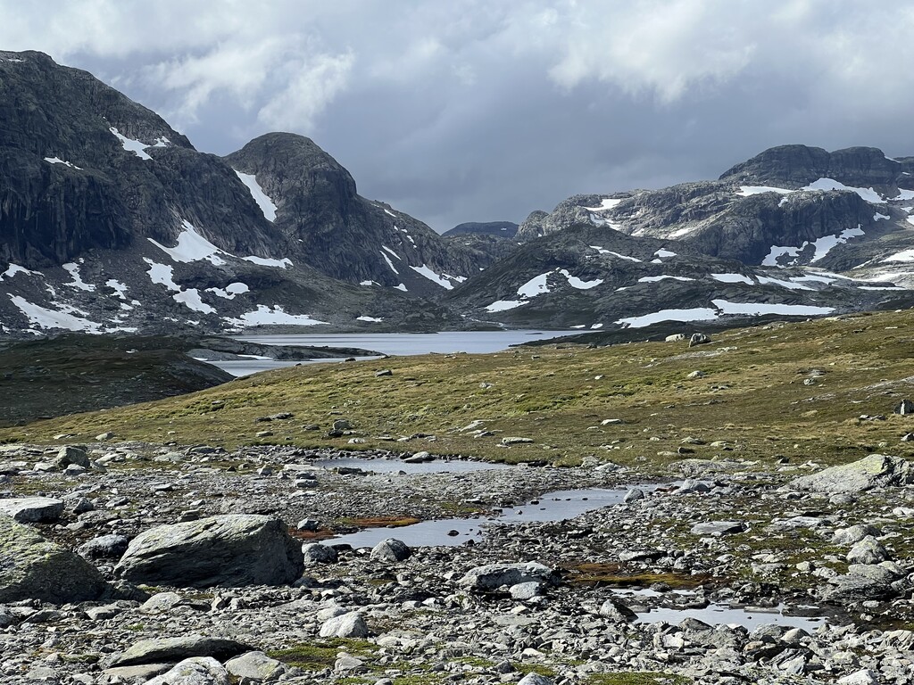
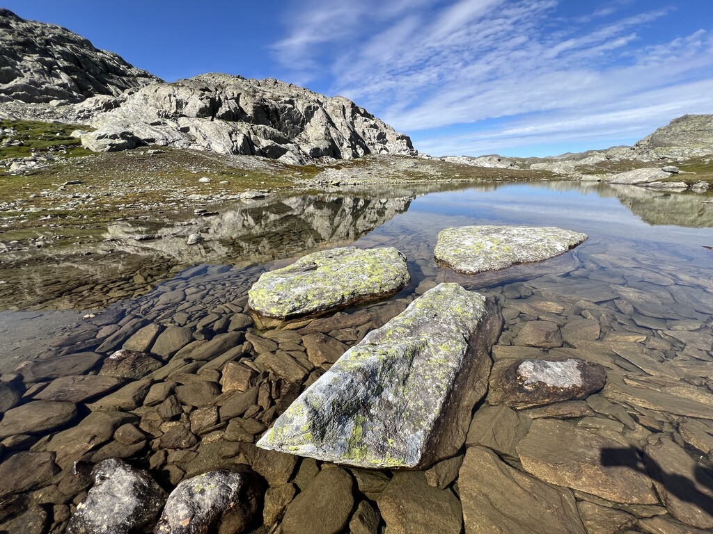
Day 2. Litlos-Stigsuv. Mostly rainy with a few short dry periods. Lots of mud. Very flat and almost a bit boring, at least with no views due to the low-hanging clouds.
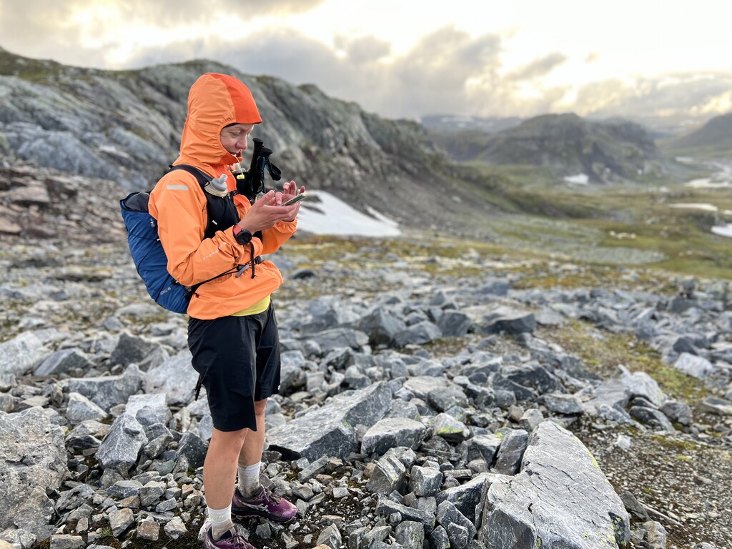
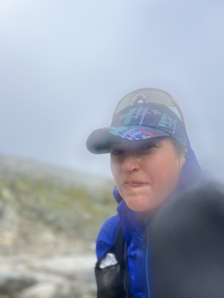
Day 3. Stigsuv-Finse. Rain almost non-stop with a couple short clearings in the morning. Weather was tolerable until Krækkja, but then developed into a full storm, with heavy rain and gale-force winds. We got very cold going down into Finse, but stopping to put on more layers seemed impossible without getting instantly soaked so we toughed it out. Met some friends in Finse for dinner.
Day 4. Finse-Konghellaren. Still cold, foggy and very windy, but at least the rain eased slightly. Joined by friends until Geiteryggshytta, where we took a break to have a waffle and warm up. Easy trail up to Kongshellaren with a short rocky section at the end. “Short” day.
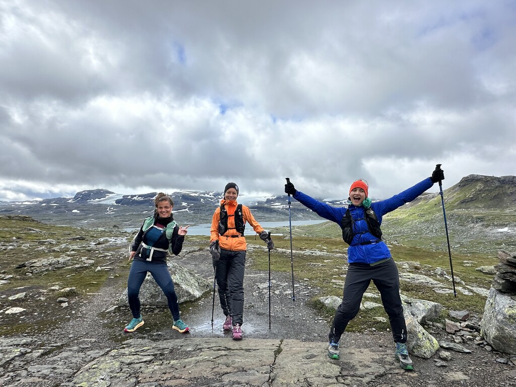
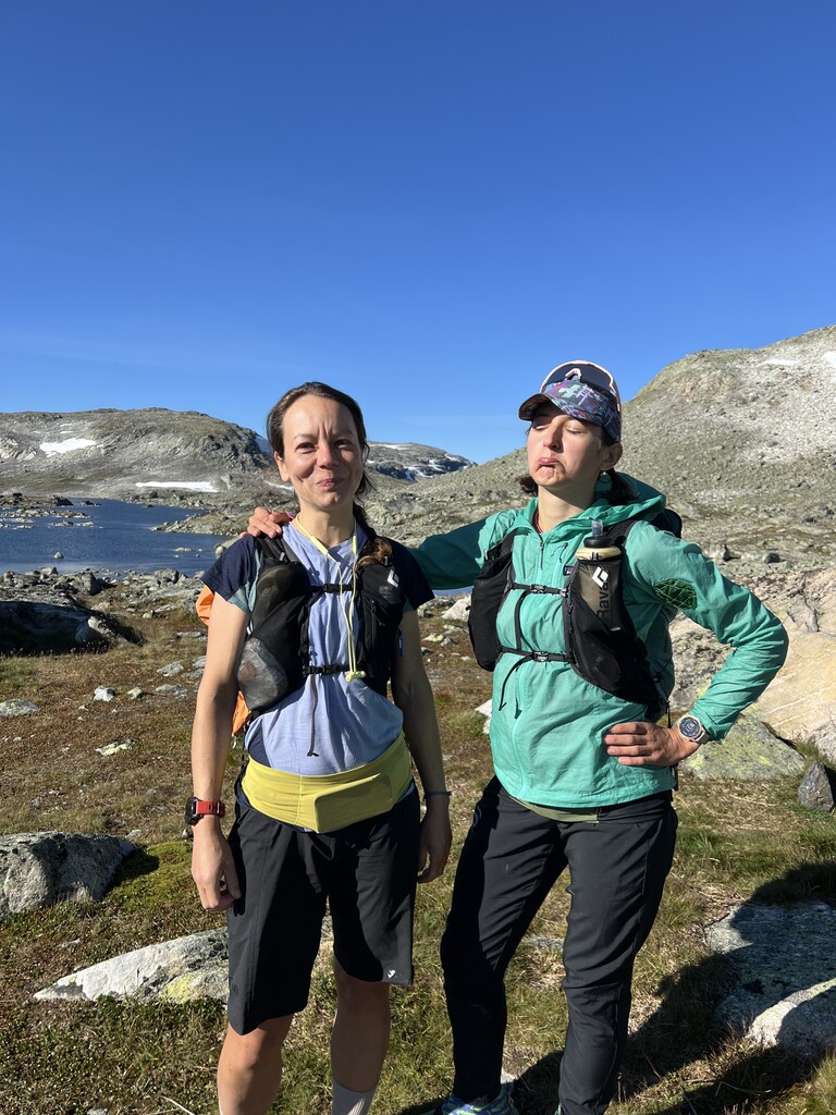
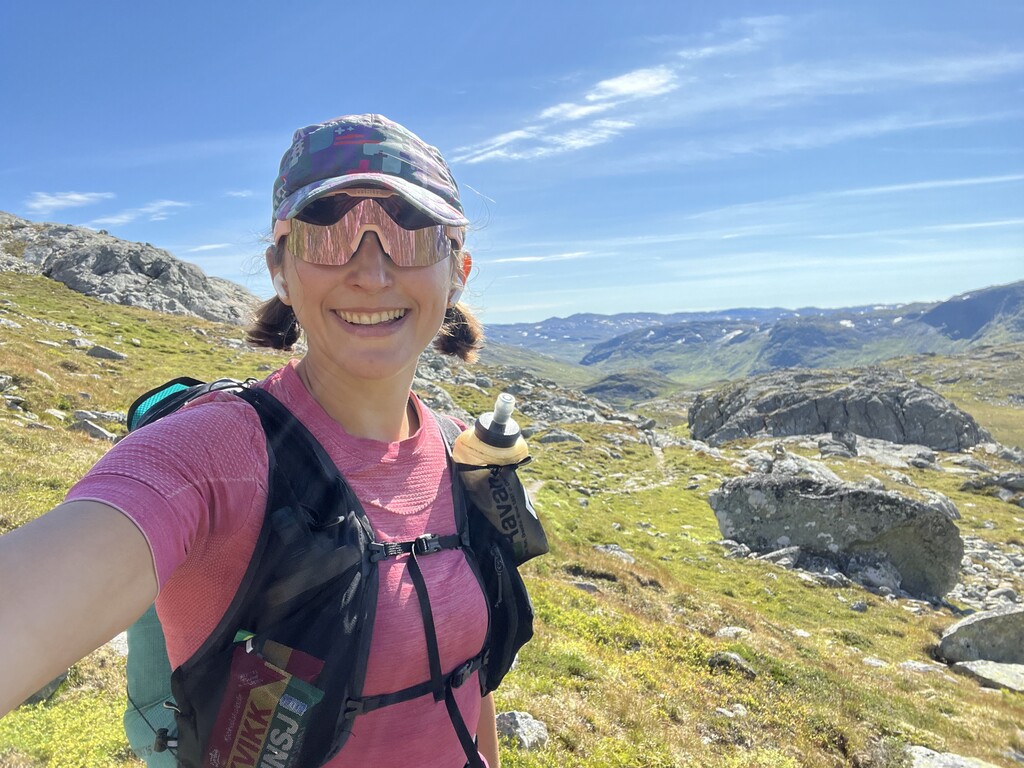
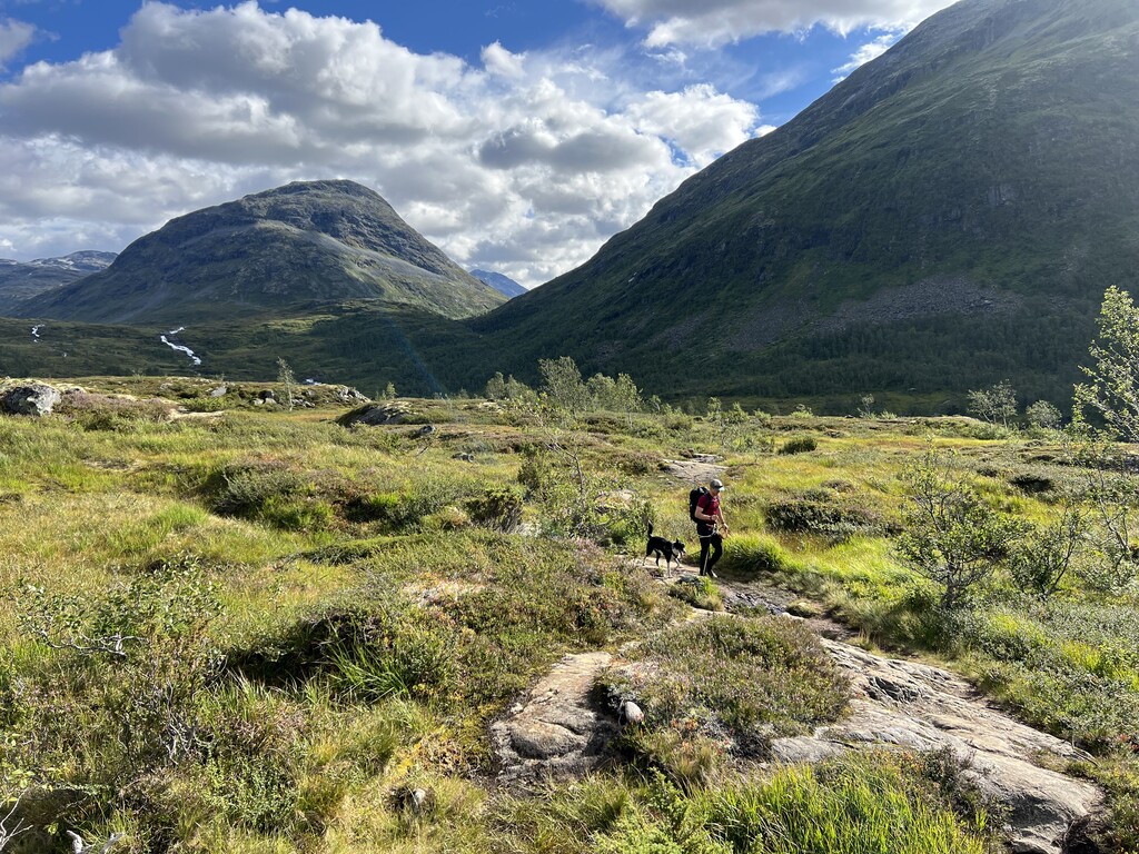
Day 5. Kongshellaren-Skarvheimen. My friend and I parted ways, and I continued the route alone. Finally warm and sunny! I even took a swim in one of the lakes. Rocky technical trails after Iungdalshytta, but it felt 100x easier in the warm sunshine. Met by my husband and doggo in Skarvheim.
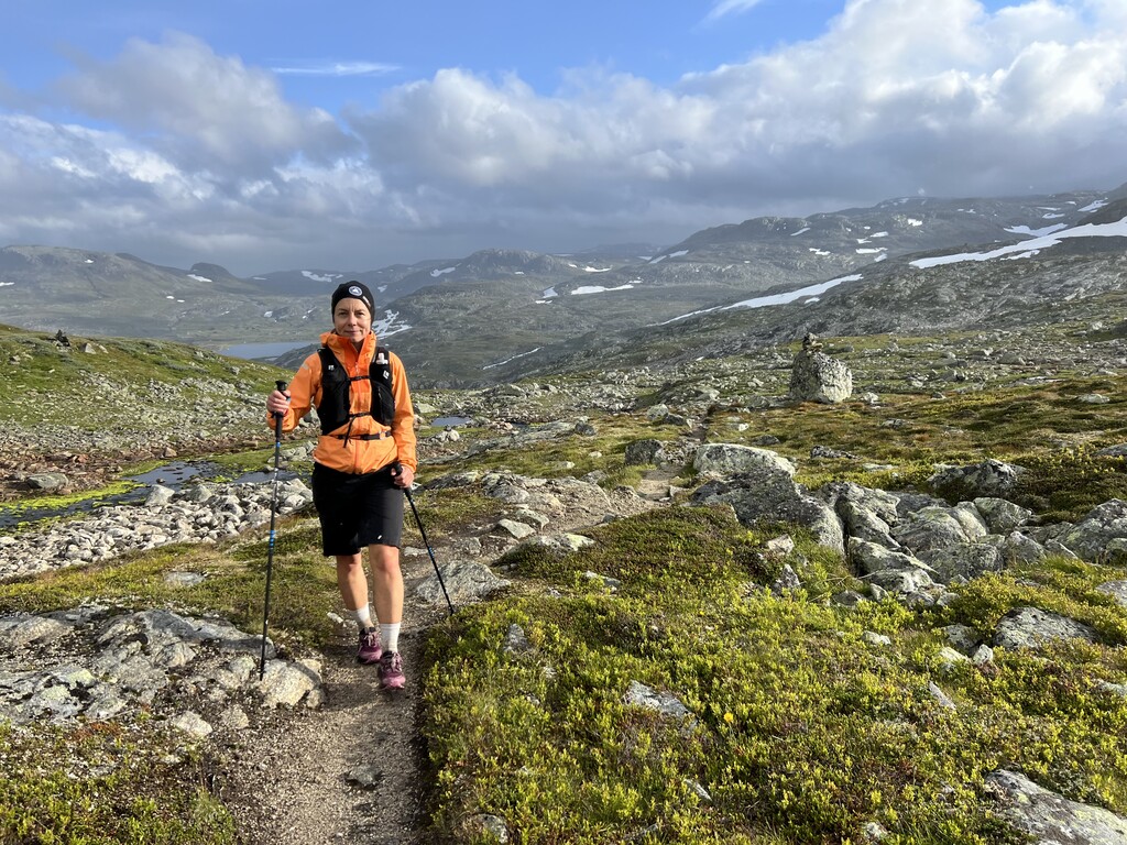
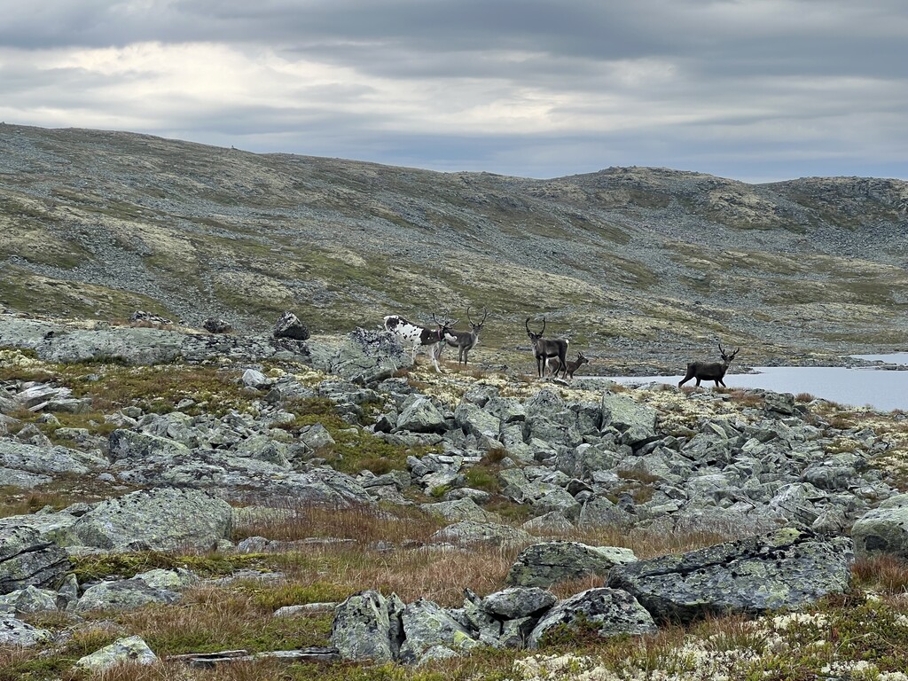
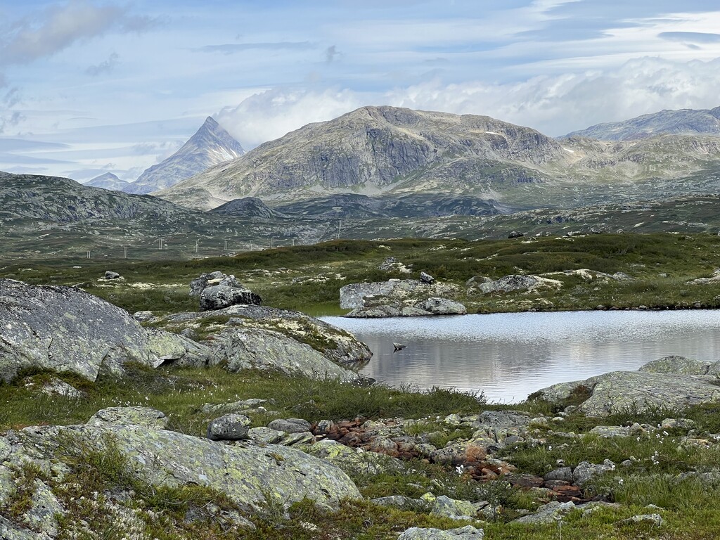
Day 6. Skarvheim-Tyin (road crossing) Ran the first 28km with doggo, was nice to have company! Saw lots and lots of reindeers. Mostly dry with a few showers throughout the day, but fairly cold.
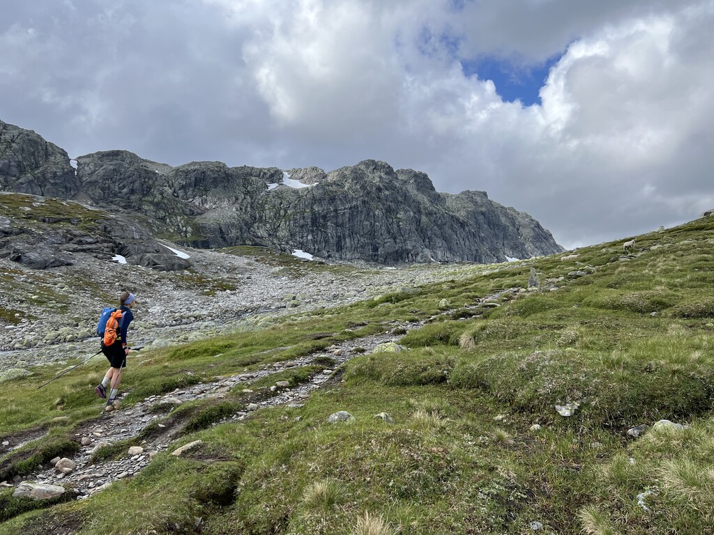
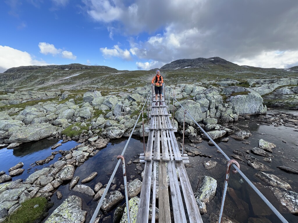
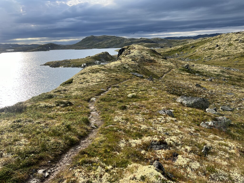
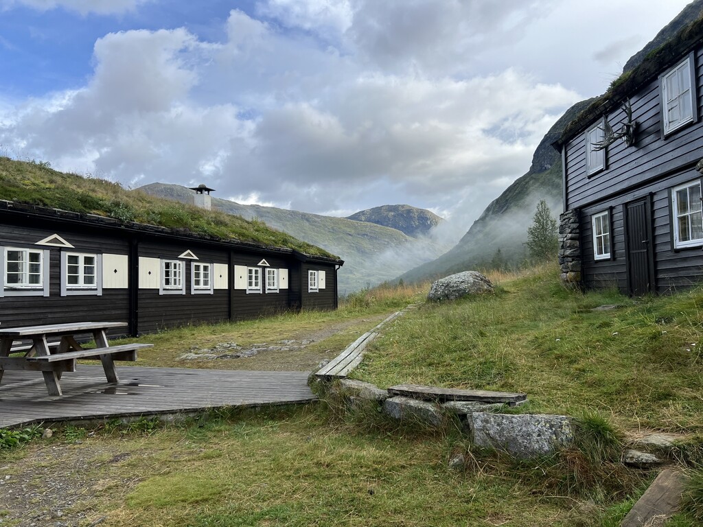
Day 7. Tyin-Skogadalsbøen. Warm and sunny morning, but back to rainy and windy by mid-afternoon. Wet and mushy along Tyin, but nice the rest of the way until Fondsbu with a rare section of gravel road. Tricky going along Uradalsvatnet over the wet boulders. Beautiful long descent into Utladalen, with a few more sneaky boulder fields in the last couple kilometres. Met my husband again at Skogadalsbøen, where he hiked in from Sognefjellshytta.
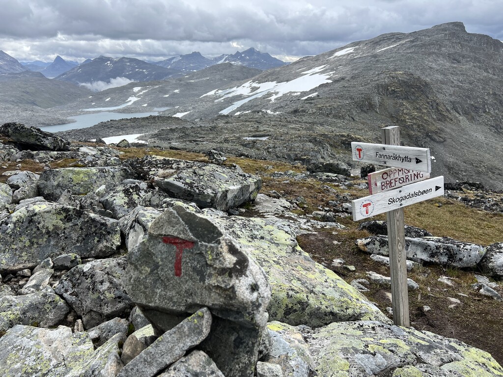
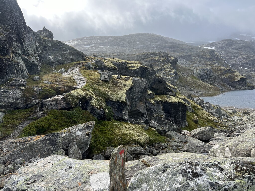
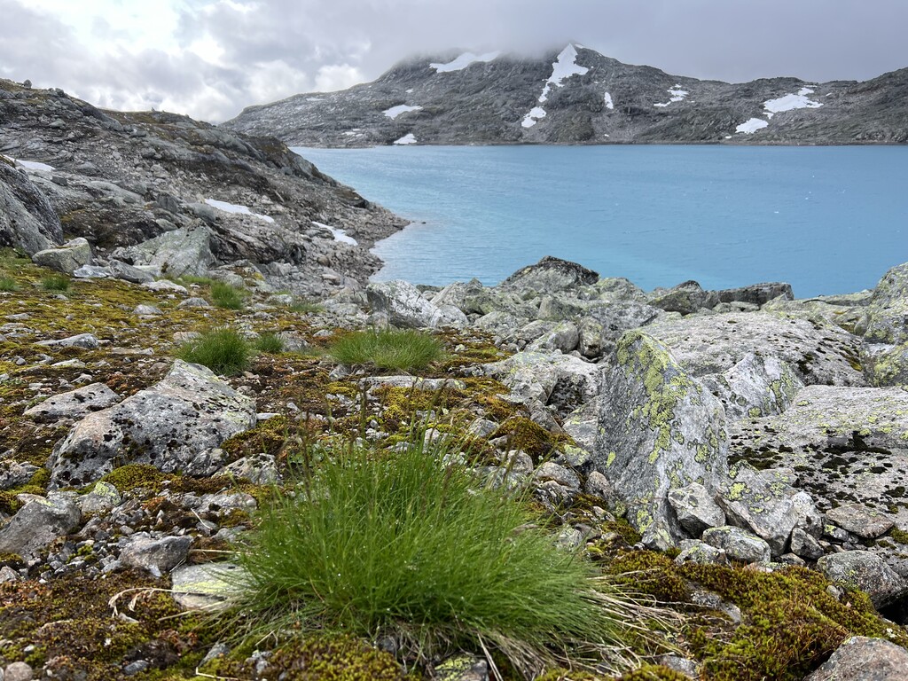
Day 8. Skogadalsbøen-Sognefjellshytta. It was a really bad forecast all day, but the morning was surprisingly nice. The weather deteriorated as I topped Fannaråken. My husband met me by the glacier crossing and we walked over together in a rope team, although that may be overkill on this glacier - it’s all blue ice and has almost no crevasses. Wore microspikes, they were more than sufficient. Very cold, windy and wet, was freezing by the time we reached the base of the glacier and ran ahead to Sognefjellshytta to warm up a bit. Contemplated continuing onwards since the day was still young, but seeing as there were no breaks in the weather decided against it, remembering how technical the next section was.
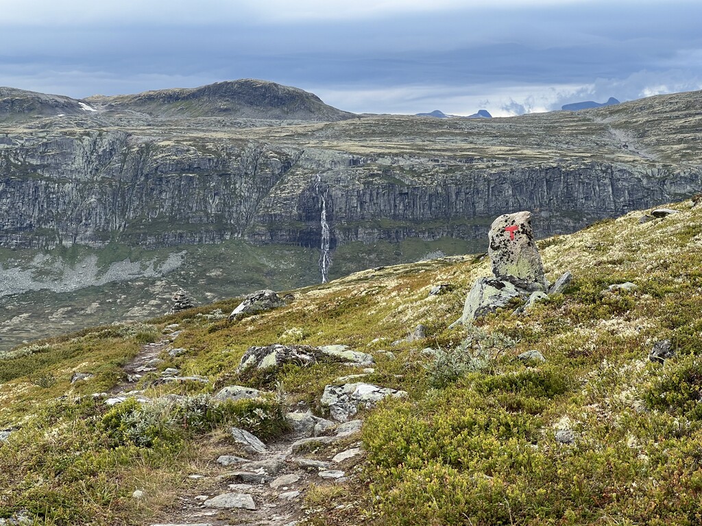
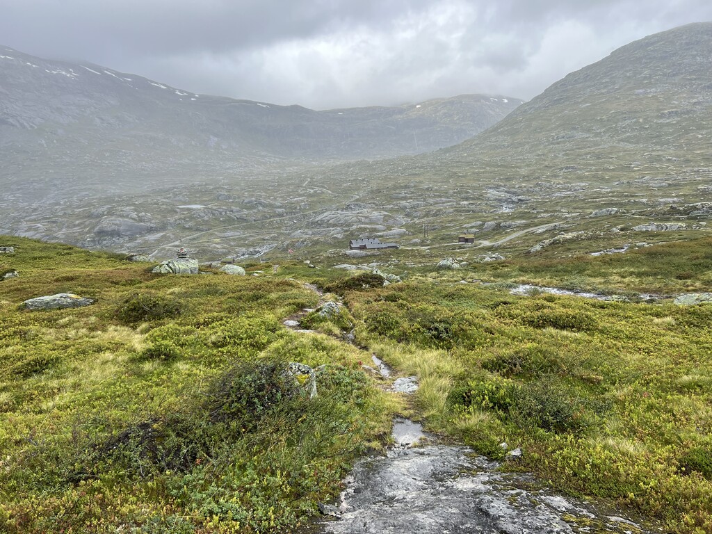
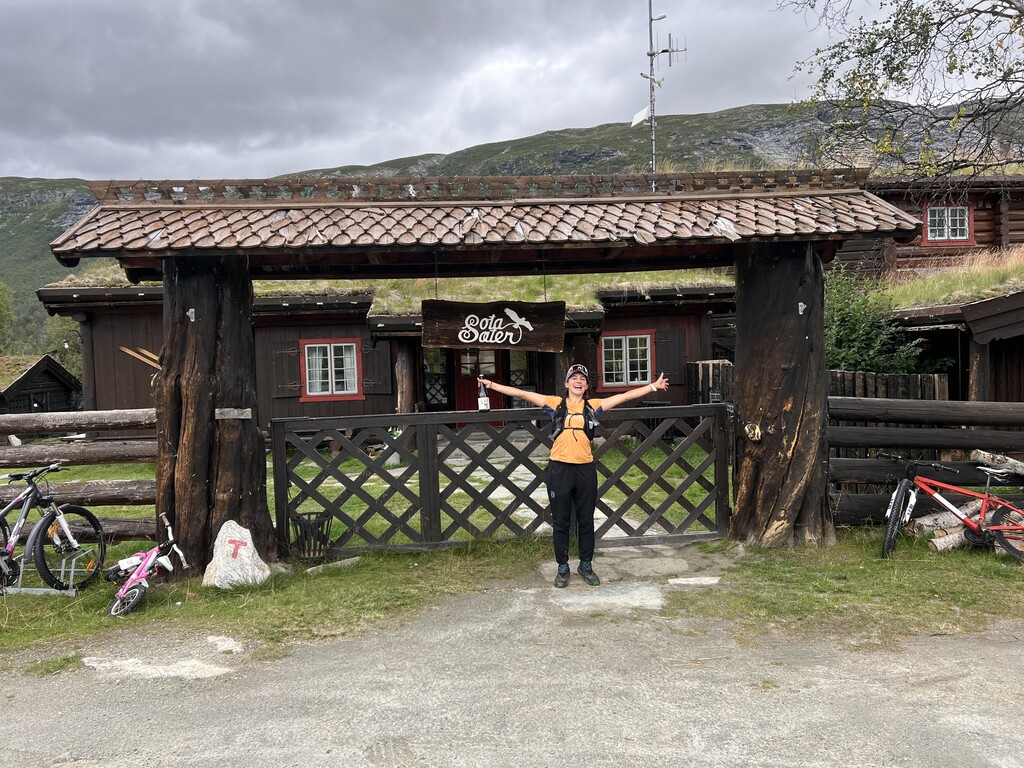
Day 9. Sognefjellshytta-Sota Sæter. These last (or first, if you’re going the opposite way) two sections are among the longest and most challenging of the whole route, so in a perfect would I would have split them over 2 days, but it was the last day, so seemed fitting to finish with a bang. By morning the continuous heavy rain had stopped, but it was still raining intermittently, and it was windy, foggy and *cold* - I started out wearing my down jacket and it was at least an hour before I had any desire to take it off. I met just two hikers on the section between Sognefjellshytta and Nørdstedalseter, and zero on the final 30km to Sota Sæter. Just pure, remote, rugged Norwegian wilderness. Finished in Sota around 19, where I met my husband and had dinner and a sauna. A great ending to a great trip!
The whole trip in 3 short videos:
Part 1: https://www.instagram.com/reel/C-2t7Cmq6G9/?igsh=MTA4Z3lsNXlidGU0cQ==
Part 2: https://www.instagram.com/reel/C-5cGoHKz0l/?igsh=MTA4ZXQ0bTBhN2c4
Part 3: https://www.instagram.com/reel/C--QOleqczH/?igsh=OXI2cmVoOW5iZnJk