I did this route unsupported and carried all needed gear and food I needed for the entire trip. With regards to water, I carried 2.5 liters for the first 40 or so miles and then used the public water tap at the McKittrick Canyon Ranger Station/restroom to refill my water supplies for the rest of the adventure. And, this definitely was an adventure...
I started early morning at the Carlsbad Caverns Visitor Center and enjoyed a gorgeous sunrise as I ran the beginning road section of route. The backcountry of Carlsbad Caverns National Park seemed very lightly visited. The trail was really overgrown with a myriad of pokey plants. Would recommend long pants as my running tights did not offer much protection for my legs and thighs. I fell in this section and twisted my ankle and knee. One of my carbon fiber trekking poles also broke the same time but I managed to splint it with a space pen and some Leukotape; surprisingly, it survived the rest of the trip.
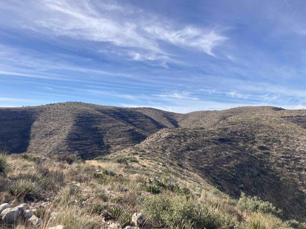
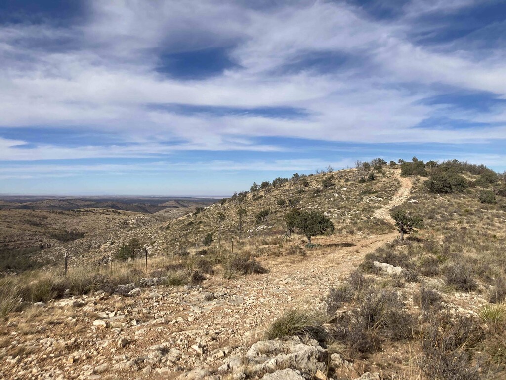
Trail conditions improved in the Lincoln National Forest section; much of the course here was on forest service roads. I encountered 2 hunters and lots of cows.
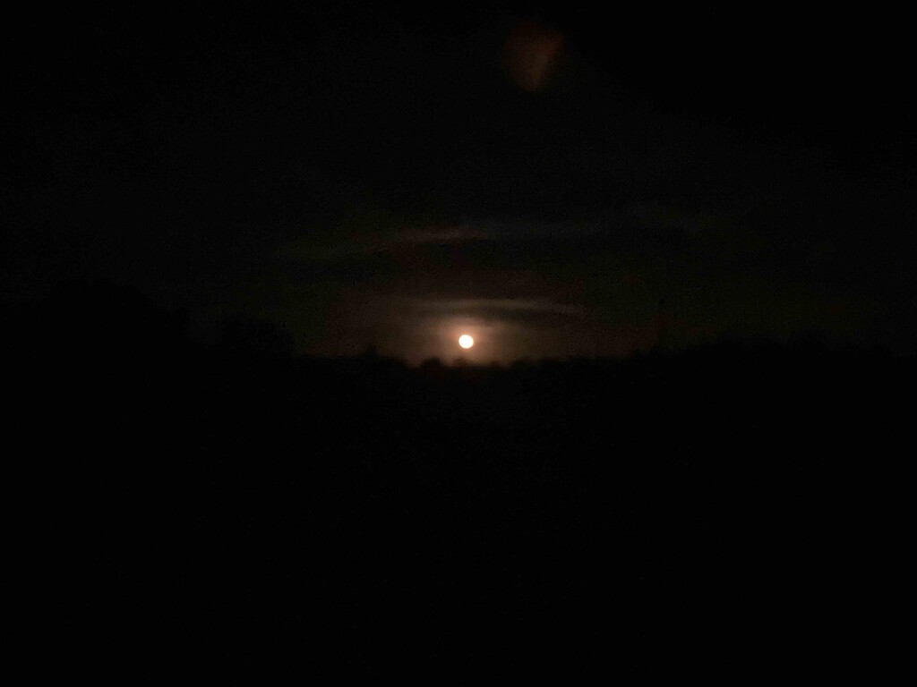
As night fell (5pm), I prepared for 12+ hours of darkness. In preparation, I carried a Petzl Swift and a Nitecore NU25 headlamp. Surprisingly, the Swift set on low power lasted almost 11 hours and offered plenty of light in tandem with a very bright moon. I only needed the NU25 for the last hour or so of darkness.
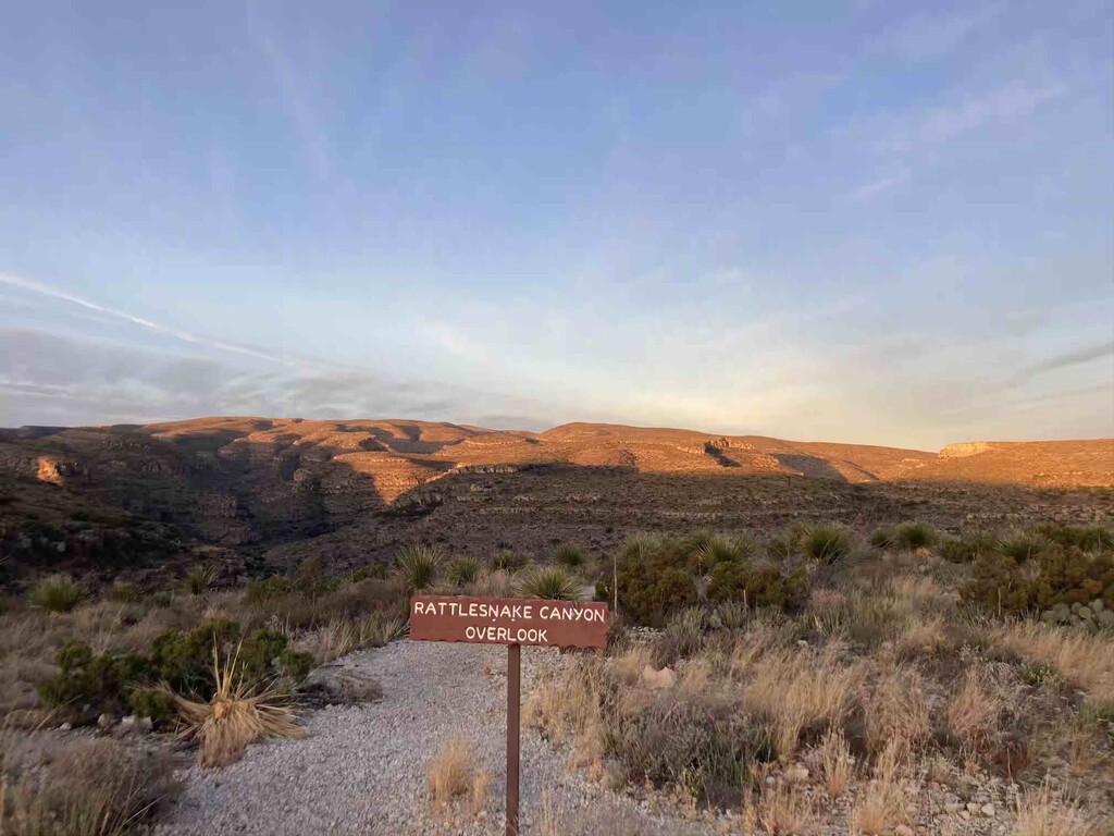
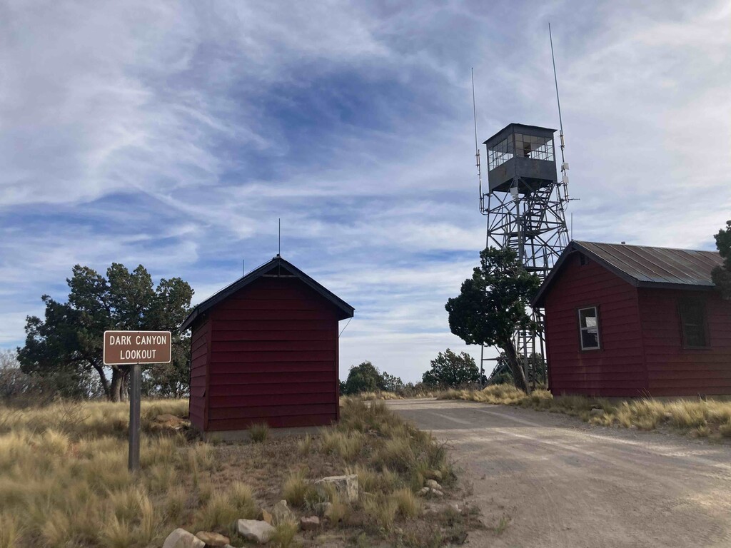
After a rugged, steep and very dark down section on the Permian Reef Trail, I made it to the McKittrick Canyon Restroom/Ranger Station sometime late evening. I was absolutely ecstatic to get water from the spigot there as well as spend a little time off my feet (aka sitting on the public restroom floor). In what little time I had, I charged my Fenix watch and annihilated a package of Hawaiian rolls.
Onward into the night I started climbing again, up McKittrick Canyon and eventually back onto the Ridgeline. This was the hardest point on the route for me as I started to get really sleepy and had a steep drop off on one side of the trail. I did everything I could to keep myself alert but it was tough and I eventually took a quick cat nap in a cliff undercut. The 27 minutes (I set a timer, LOL) helped for a while and I slowly kept moving. Overnight hiking is something I need to work on as my speed dropped dramatically during the wee hours of the morning.
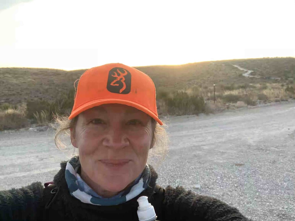
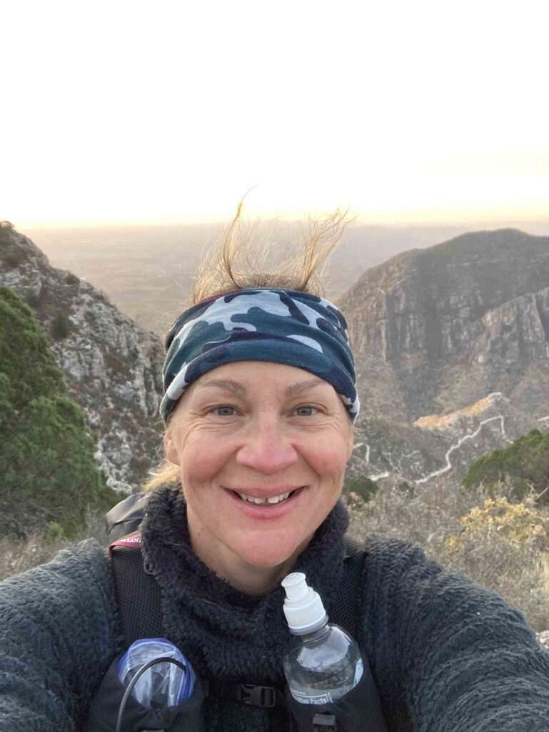
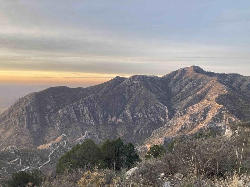
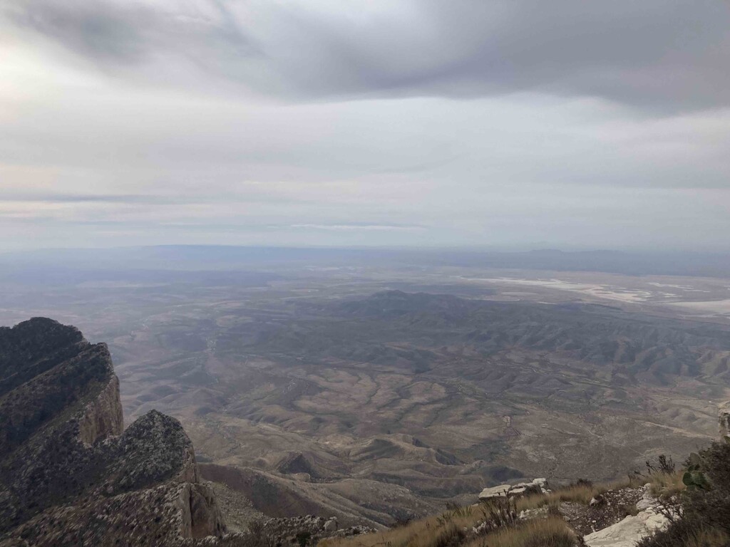
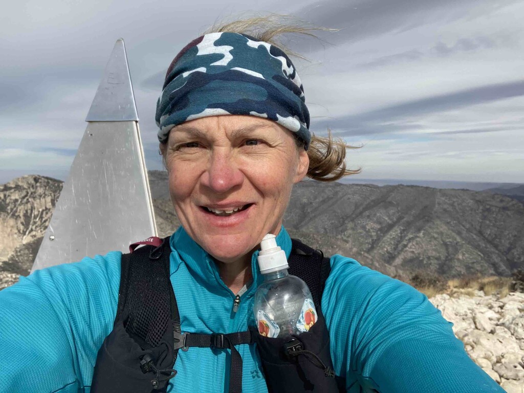
Dawn gave me a new burst of energy and some incredible views of Guadalupe National Park. I descended the Tejas Trail toward Pine Springs Campground in gorgeous, glowing light and also ran into my first hiker of the trip. I made it to the campground and the trailhead for Guadalupe Peak right before 8am and encountered many, many people heading up the trail. This distraction was priceless as I trudged up the last few miles of the trail. I made it to the peak, took a few pictures, and stopped my watch. Then, I ran/stumbled/hiked the 4 miles back down to the trailhead to clean clothes, cold Sprite, Crocs and the warm smile of the friend driving me home. Priceless
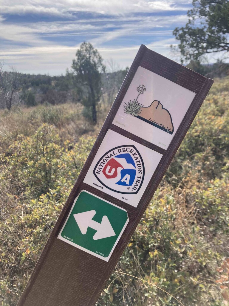
I used the GPX file for this route (provided on FKT site, front page for Guadalupe Ridge Trail) as the course on my Fenix 6x and was grateful for the guidance. I needed it the backcountry section in Carlsbad Cavern National Park as that trail is very overgrown and minimally travelled. As well, there are numerous forest service road intersections throughout the Lincoln National Forest and trail intersections in Guadalupe Mountains National Park that I would have struggled with in the dark. My mileage did end short (64.69 compared to the official 66) as I summited Guadalupe Peak, not sure why. I must admit that this is terrifying to me as I was diligently following the GPX file on my watch and on Gaia Maps as a supplement. I included 3 verifications of my tracks (Strava, Garmin Fenix 6x and Garmin inReach). Crossing my fingers all is well.
The next question... would I do this FKT attempt again? Yes, but south the north and definitely later rather than sooner. The elevation profile would be much kinder and terrain possibly more runnable.
Comments
Congrats! Awesome job getting the overall FKT with such a fast time!
Great time, but the official route was not followed. Like many people who hike the GRT, this hiker stayed on the 201 above Agua Dulce Tank, shaving 1.93 miles and around 1000' up/ 1000' down off of the official route. Check the official route map on the NRT database for verification.