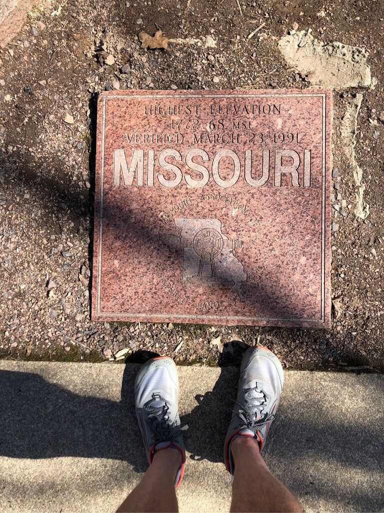
I arrived at the Route 21 at around 11 a.m. Friday, March 4, ready to head up to the Taum Sauk high point. I had arrived in town from the Houston, Texas area the previous night. We stayed at a little bungalow owned by the Arcadia Academy folks. Wife was visiting her mom in the Baptist Home and they released me to go have some fun.
Weather was just about perfect, started in the mid-50s, warmed to around 70 by the time I was done.
I had neglected to pack my water bottles, but I did have my Life Straw, so I headed out.
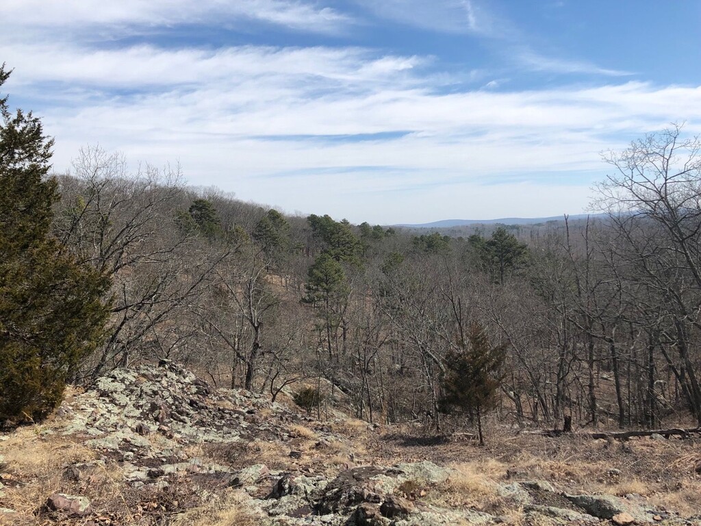
I started the initial climb out from the parking lots, which wasn’t too bad, even for a flatlander like myself. But it kept going up, so I took a few walk breaks. The legs were definitely sluggish after the car trip.The trails on the first third of the climb are very nice, with mostly small rocks and few roots. Even some super-nice moss carpeting in sections. The climb then mostly leveled out, but I had overcooked it a little so I did some hiking and then came to clearing that had a nice view to the north. After that, the terrain changed as the upper section of Russel Mountain is quite steep and very rocky. I didn’t find it very runnable, even on the brief plateau at the top.
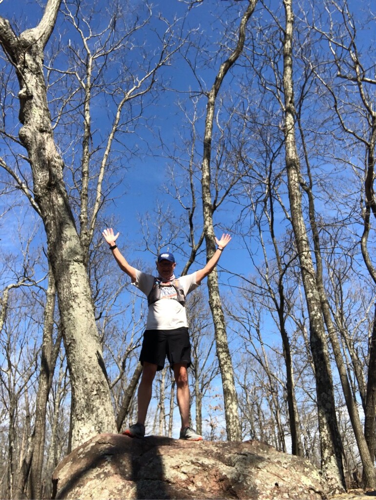
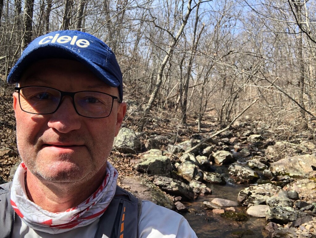
Pretty dispiriting, but I kept moving ahead down into a little canyon with a lovely creek, followed by a steep ascent up onto Tom Sauk. Once you get out of the canyon the terrain levels out and it’s very runnable. So I ran most of the rest of the way to the high point, took some more photos and turned around.
The trip up told me what I needed to know about the way back. Obviously, there would be a lot of downhill, but also that I could run the first and last third and then just plan to hike the middle section.
The way down was a lot more fun, though my ankles and feet were a little beat up by the rocks on the way up.
The way up was about 1:50 and the descent was about 1:40.
Not a very fast time, as I did plenty of hiking and photo taking. So this won’t stand the test of time, but someone’s got to be first.
I looked on Strava and couldn’t find anyone that had actually done this route before, so I didn’t really have a time to beat, I just set out to finish it and get it started.