


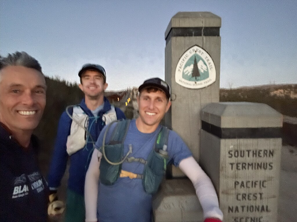
This was a NoBo Section A FKT, starting at PCT Southern Terminus and ending at Warner Springs.
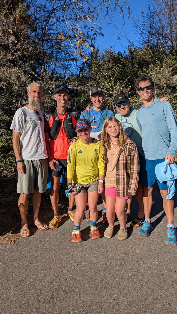
Thanks to the team in time the order I saw them: Carey, Sam, Riley, Chiara, Nick, Elise, Eric, Drew, Chris
While discussing long trail runs and races, an old running buddy once said something like .... “When else as an adult do you get to hang out with your friends all day. Not just a couple hours, but all day”. I’m so glad I was able to spend this time with you all, and it was certainly a very special Thanksgiving weekend.
The Team!
Riley: PCT Southern Terminus to Lake Morena - 19.5 miles
Sam: Lake Morena to Monument Peak Road - 27.9 miles
Chiara: Monument Peak Road to Pioneer Mail - 9.6 miles
Nick: Pioneer Mail to Scissor Crossing - 24.5 miles
Eric: Penny Pines to Scissor Crossing - 28.3 miles
Drew: Scissor Crossing to Warner Springs - 31.5 miles
Riley: Scissor Crossing to Warner Springs - 31.5 miles
172.8 pacer miles
I believe Section A requires a supported effort. In my opinion, unless you somehow hitchhike to and from each end of the section, there is no realistic way to even start or finish this unsupported. The last 50 NoBo miles, from the intersection with Mason Truck Trail, all the way to Warner Springs are dry, desolate, rocky, and slow. I’ve been told there are water caches during prime PCT months, but only the cache we saw with water was between Scissor Crossing and Montezuma Road. For your own safety, please consider how you will get water for these miles before you start.
More details by landmark:
The pace and effort seemed appropriate from the start through Mt Laguna. Highlights definitely included Hauser Canyon and the creek section half way up the climb past Cibbets Flats. The weather was so pleasant and cool most of the day. I was surprised how few other people on the trail, mostly seen near Boulder Oaks.
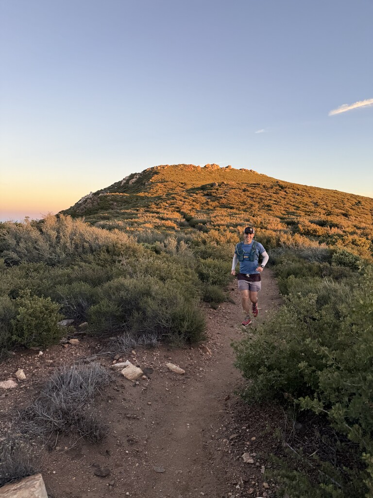
We encountered sunset between Penny Pines and Pioneer Mail, with really vibrant reds and oranges to the west. To the east, the darkening sky changed the far away mountains from a pale, washed out gray to a profound green. So impressive.
Descending from Sunrise Highway towards Chariot Mountain really starts the second half of the effort, and for me, the most unknown. The trail is narrower, steeper, more on a cant, and rockier than I remembered. After the Rodriguez truck trail, everything is new to me, and yet somehow so familiar. Into the canyon curve, a slight up, a slight down around the corner - weaving through scratchy bushes, cacti, and various aloes - and repeat dozens and dozens of times. This was the beginning of the end of running for the day. The trail forced a total lack of flow and there were hardly enough steps in a row to build any momentum. Possibly if I were fresh, I could have navigated this better - but by how much? A couple of mins/miles? I guess I need to revisit it with clear eyes, but I’m not sure how fast you can actually go through this part. Finally the terrain underfoot changed texture as we approached the desert floor, and relief arrived in the form of a 3 foot wide and flatter trail.
From Scissor Crossing, the last major climb begins. 6 miles pretty steady, but I already accepted this would be a hike. Again the lather, rinse, repeat kicked in seemingly endless narrow and rocky hair pin turns through the cliffside. Caffeine consumption went to the next level, but the waffle crisp cereal and stale apple juice taste of my “Unflavored” gels would not relent. Gross.
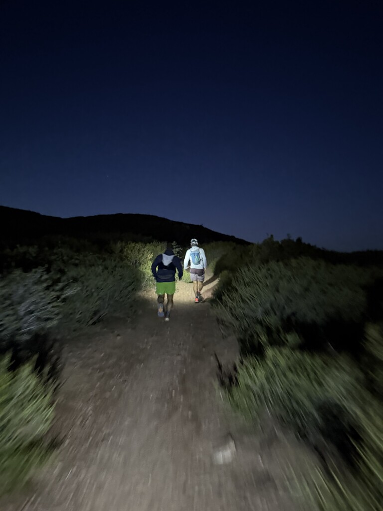
Daybreak very slowly crept over the hillside to the east, and the final descent towards Montezuma Valley approached. The night section was a mixed bag of cool and very cold temps as we wove in and out of the crevices of the mountainside. Montezuma Valley road sure felt like it should have been the natural endpoint of Section A as the ecology and geology abruptly changed. But, that's not the case.
We continued the last 8 miles through gentle rolling hills and surprisingly verdant pasture land. I guess this is nice sometimes, but we could smell the barn through the smell of cows. So on we hustled as best as a tired body allows, trying to maintain a semblance of posture. The old man lean is real, and mine hinges forward at the waist.
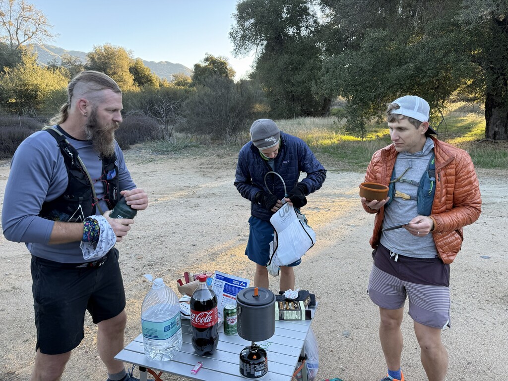
At long last we reach the end, Warner Springs and all kinds of folks enjoying the end of their Thanksgiving weekend. We took a few pictures, had a snack, then started the long drive back to San Diego. Somehow perceived space and time evaporated for me as I was transported back to my door - closing the loop started at 4:30 am the previous day.
This was a Supported FKT. I am so thankful for all the friends that were able to join in completing this route. For the San Diego trail running community, this is our favorite playground, and I’m proud that we can help be caretakers for this section. May the next person to try this route, FKT or not, enjoy it as much as I did.
I offer my route planning and pace chart, courtesy of ultraPacer: https://ultrapacer.com/course/68f179fd44ae0ad0e76bbee5