
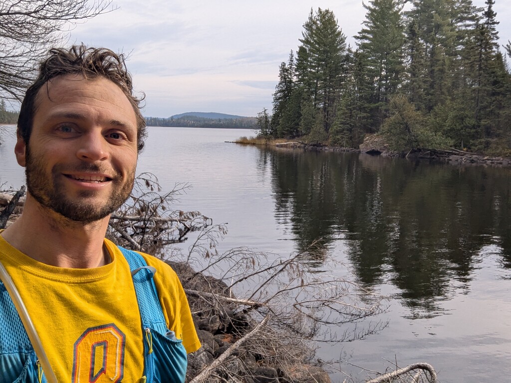
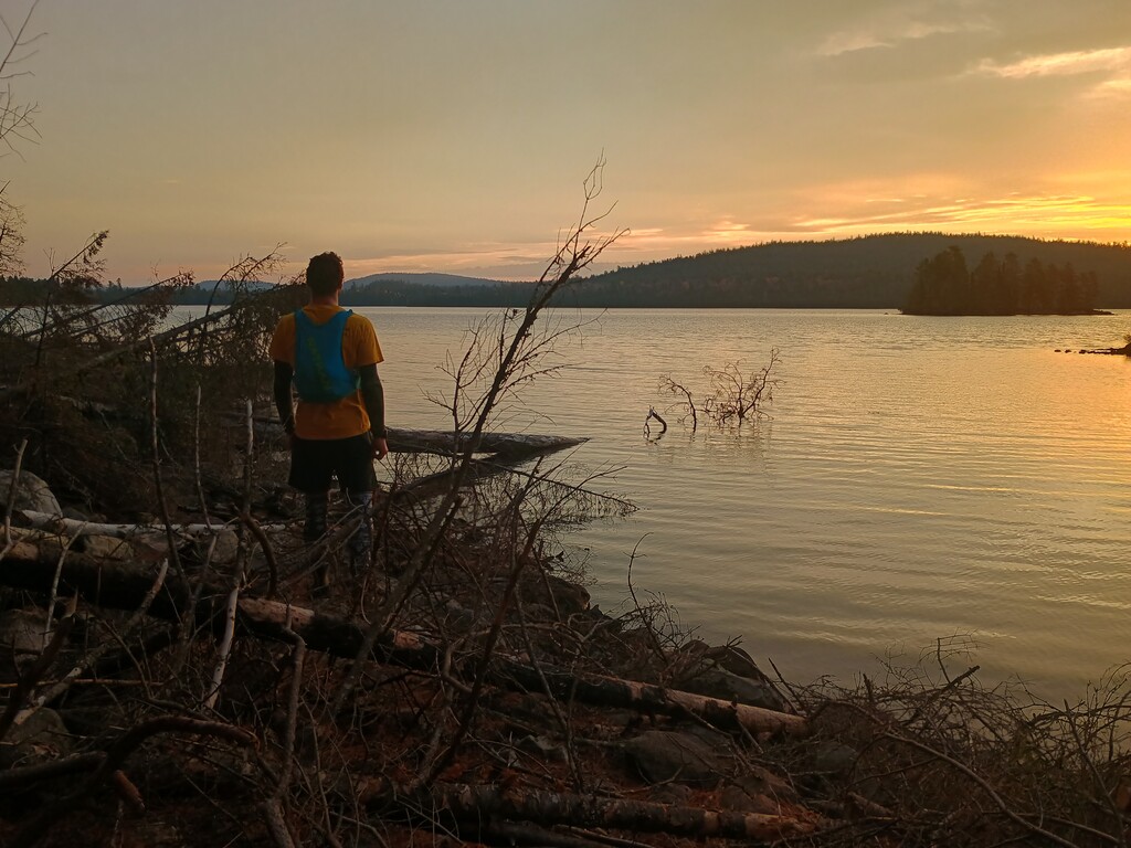
To get to Ishpatina Ridge, we drove in to the Sturgeon River crossing the night before along the logging roads and camped at the sandpit. Biked in for the first 7km just before dawn until the trail gets too rough for biking and then jogged into the base of the tower trail at Scarecrow lake. Beware that there are a couple of water crossings in the first 7km that were quite cold in late October.
Note that as of 2026, there did not appear to be any moose crossing sign or blue hiking marker which caused some confusion. After looking for a bit, I decided to start based on a pin I had dropped on the map. My starting point was where the trail makes a sharp left turn and heads away from the lake. This is just after the campground when you are following the trail along Scarecrow Lake and appear to line up with the route even though the signs have gone missing.
The route up starts off gentle but gets quite steep towards the top. The route is generally well travelled and easy to find. However, I had one small route finding issue on the way down that had me off in a bit of a swamp for a few seconds but I don't think it cost me very much time.
Lapped my watch at the start and end for a total time of 45:33