Doing this route unsupported is a logistical problem more than anything else. Doing this route unsupported could be made significantly faster, easier and smoother by having a crew for the start and the end of this route to carry camping stuff to the car from Chalfant Cove in the morning and to shuttle the car to the south end. Since all of our camping stuff for the night before was just dead weight and could have been carried out by someone else while still being an unsupported attempt, we likely could have justified dropping off our camping gear at the car on the way by. However, we decided to be purists and keep with the style of the previous unsupported FKT and carry all of our camping stuff throughout the attempt. We also decided (out of logistical necessity rather than anything else) to shuttle the car with a bike as has been done in some previous FKTs.
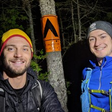
We drove up on Saturday, arriving at the south end to pick up our permits and drop the bike in mid-afternoon. From there it was an hour to Gargantua Harbour where we prepped our gear and hiked north to Chalfant Cove. To reduce weight, we cowboy camped, sleeping from about 20:30 until 00:45. Knowing that it would take a few hours to shuffle the car at the end and then we would have to drive through the night to make it home for work on Monday, we decided on an early start, starting just before 0130.
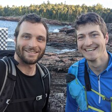
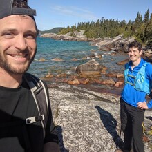
The first couple of hours back to Gargantua went well on the easy terrain although for some reason by the time we got to Gargantua Harbour, I had already developed a blister that had managed to rip open and would irk me for the rest of the day. The next 3.5 hours until the sun came up showed us that our early start was a mistake because not only did we miss the nice views around Rhyolite Cove but we also spent a lot of time route finding on the big exposed rocks where it is not clear where the trail goes and when it dives back into the forest. After the sun came up, it was pretty smooth sailing for the rest of the day with good weather and dry rocks albeit it was quite hot out in the sun in the afternoon.
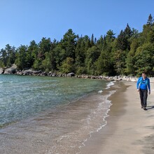
The trail is sometimes difficult to find, with only a little blue marker hidden behind some overgrowth to indicate that there is a trail to cut a corner or to avoid a particularly rocky section of coastline. We followed these little routes as best as possible but there are some that we only realized existed when we saw where they came back out onto the beach after we had just navigated a particularly gnarly section of coastline. We figured that it was okay to have followed the coastline for these few sections instead of backtracking given that the park website says : "Generally the trail hugs the coastline. If you lose the trail, continue along the shore and eventually you will find the trail again." At any rate, we figured that we likely spent more time navigating the rocky terrain on the shore in these sections than we would have spent had we noticed the minor shortcut through the woods.
We brought a Sawyer Squeeze filter and a one litre bottle for water and we had no problem even with two people sharing it. Since the trail follows the coast, we were never away from a water source for more than about a half an hour.
If you are planning to use a bike to shuttle the car as we did, a mountain bike is advisable. The Trans Canada is not the most enjoyable biking ever but has a paved shoulder all the way to Gargantua road. However, I found it nice to be able to drop off the paved shoulder on the mountain bike if a transport truck decided it did not want to move over. Gargantua road is also rough and rocky with potholes which made the mountain bike an ideal choice.


