

Grande Traversée du Mercantour - First Female Supported FKT Attempt
Athlete: Gabriela Aramayo
Direction: Entraunes → Menton
Style: Supported
Start: September 16, 2026 — 07:00:18
Finish: September 19, 2026 — 18:51:28
Elapsed time: 83h 51m 10s
Garmin recorded: 237.88 km / 13,755 m+
The Attempt:
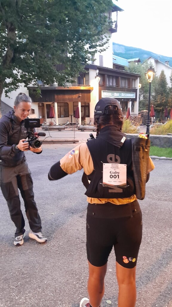
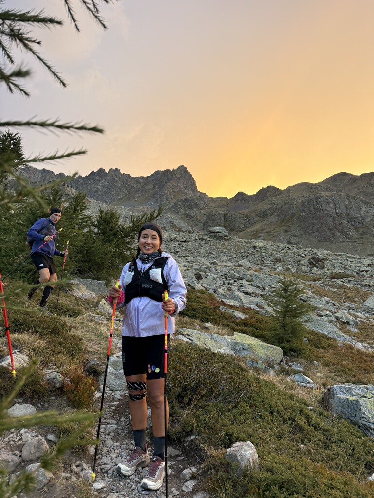
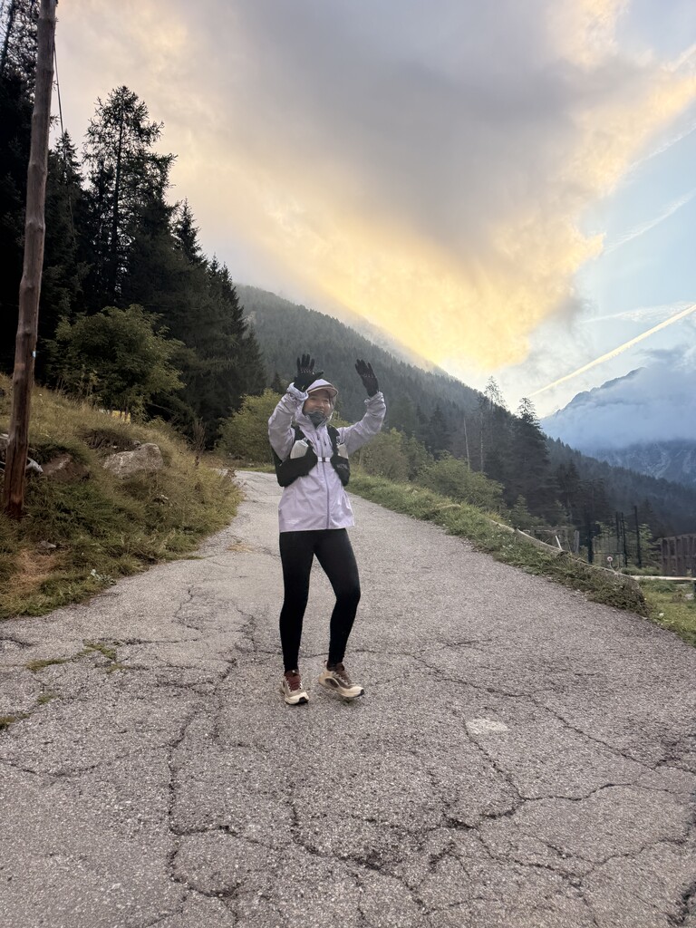
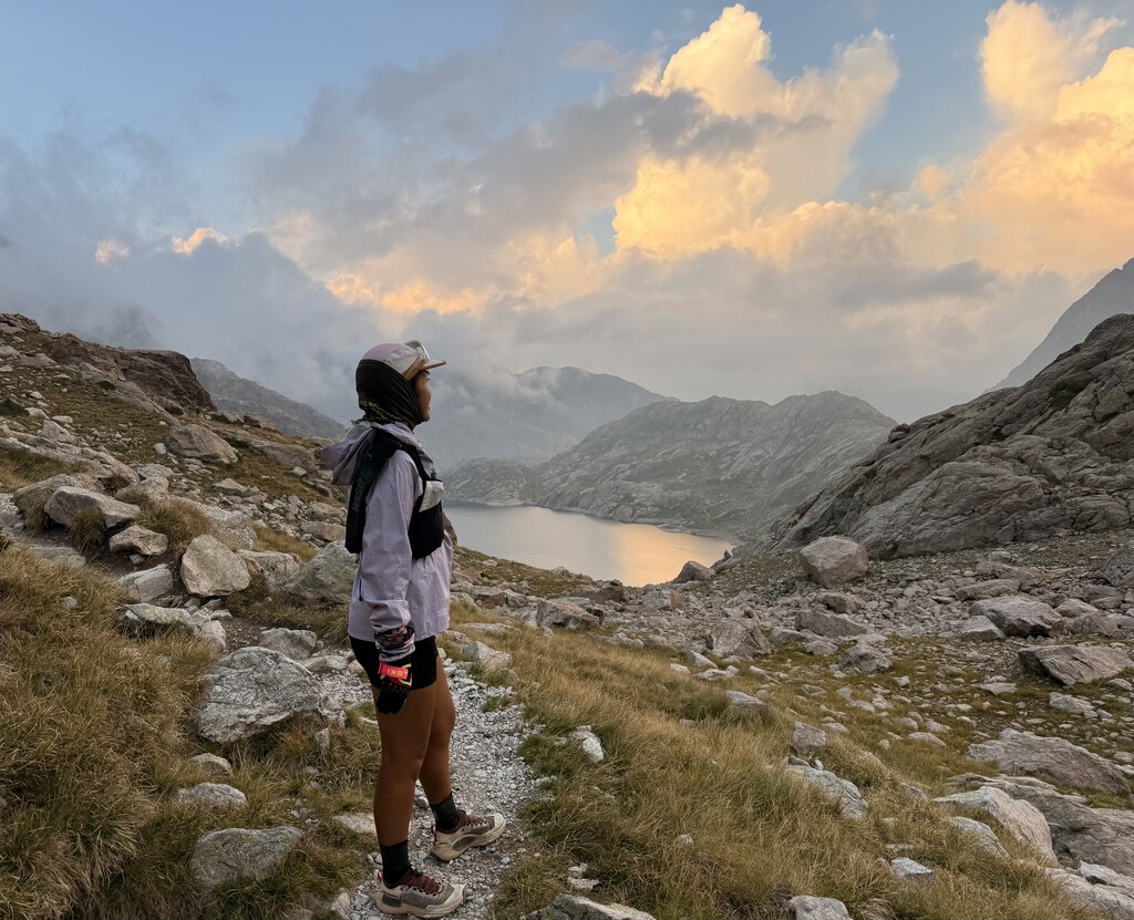
On September 16, 2026, I left Entraunes to attempt to establish the first female Supported FKT on the Grande Traversée du Mercantour.
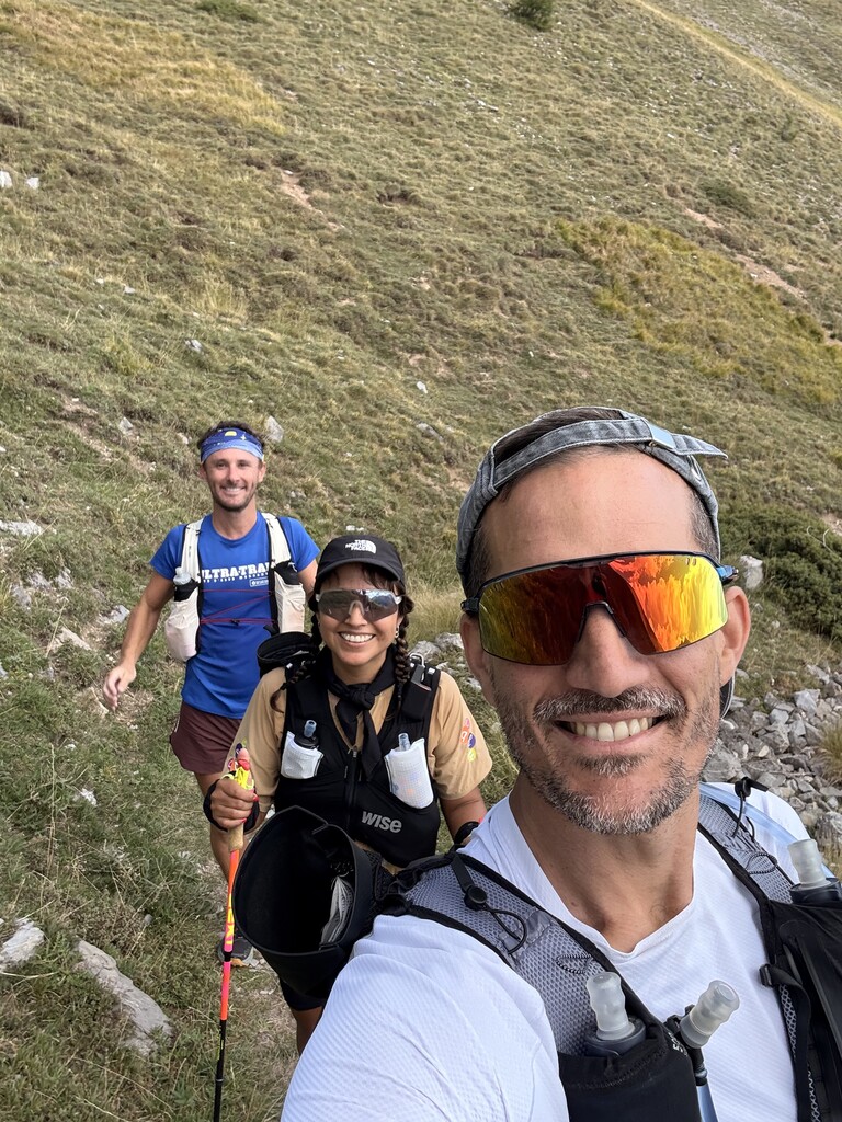
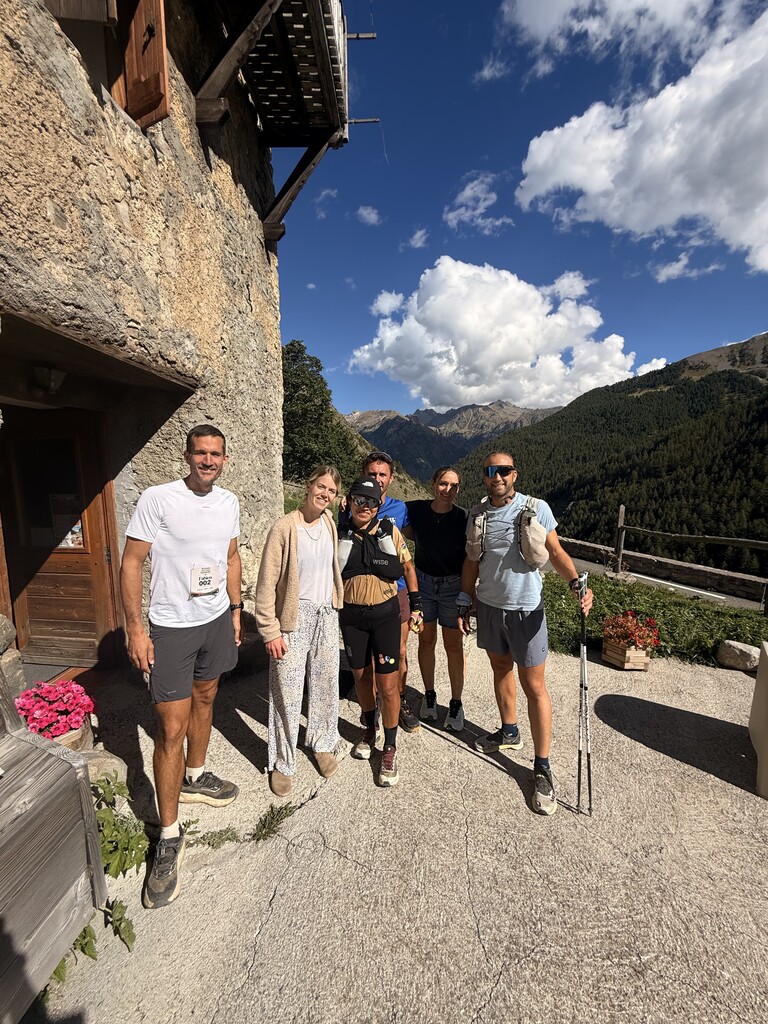
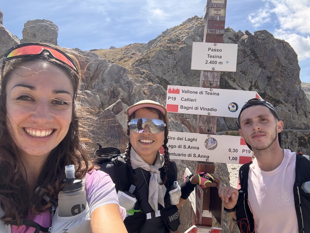
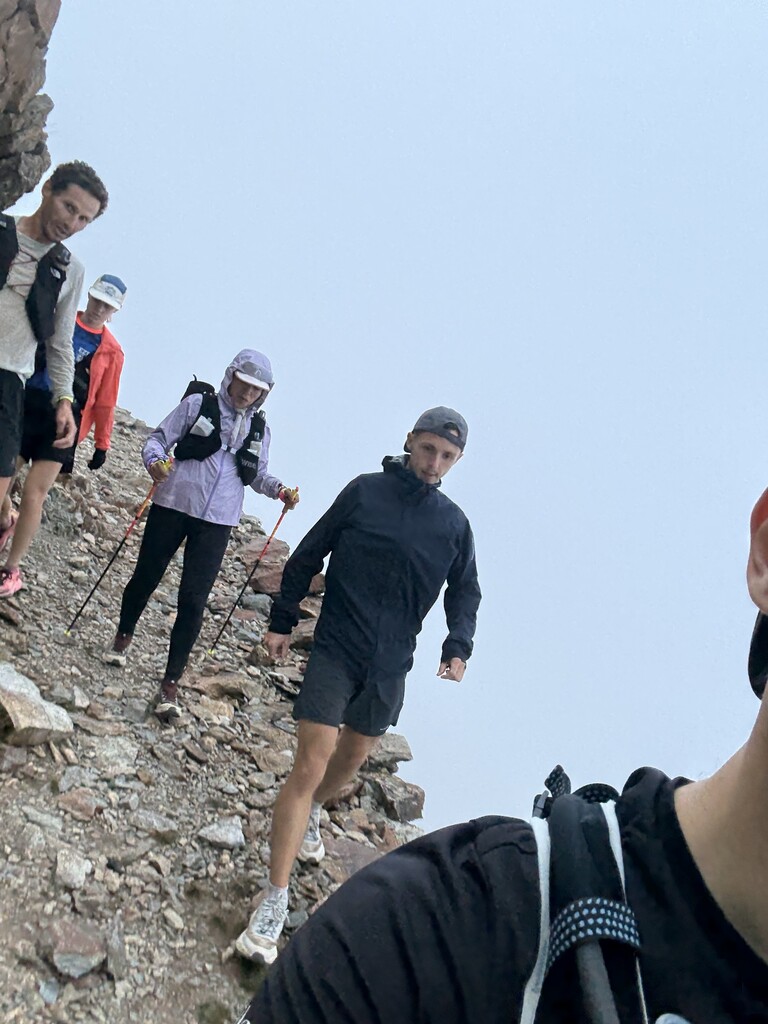
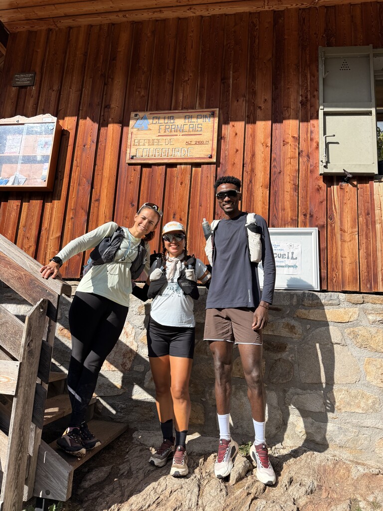
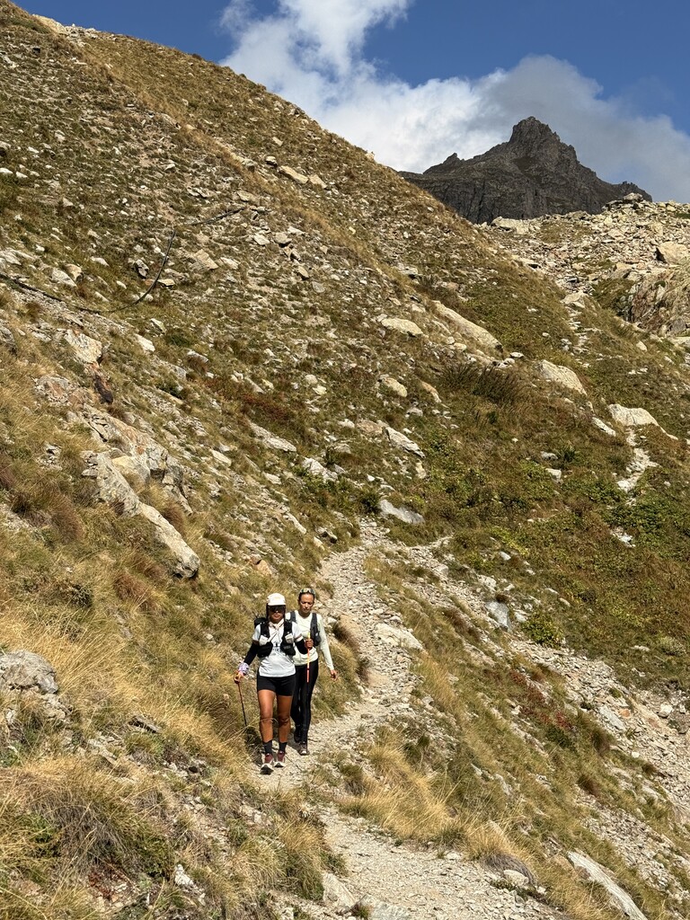
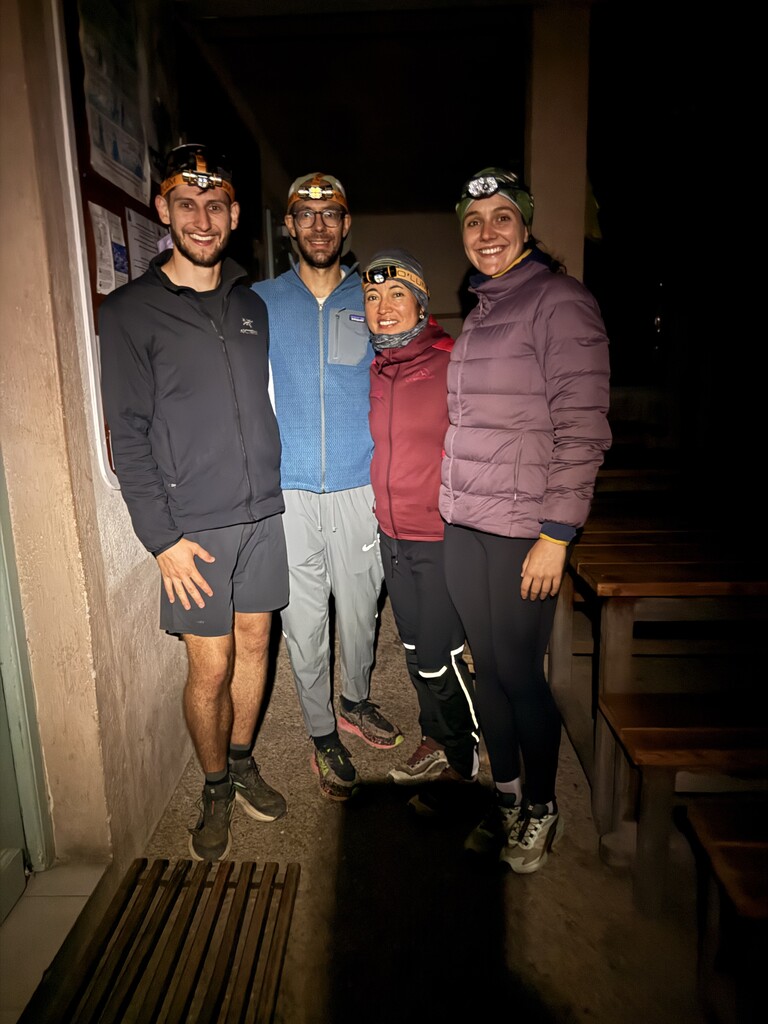
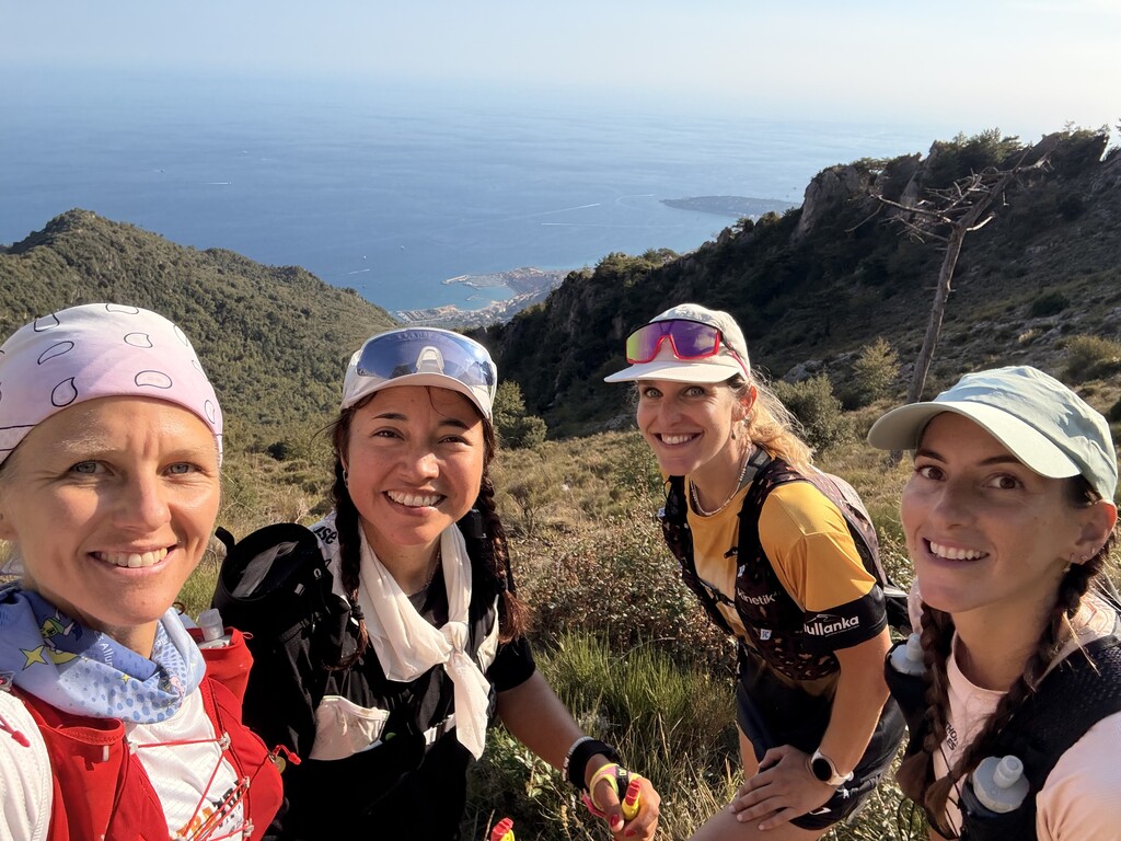
I chose to start alone. From Saint-Dalmas Le Selvage onwards, different pacers accompanied me on successive sections, while my support crew met me wherever road access was possible.
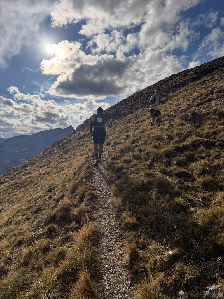
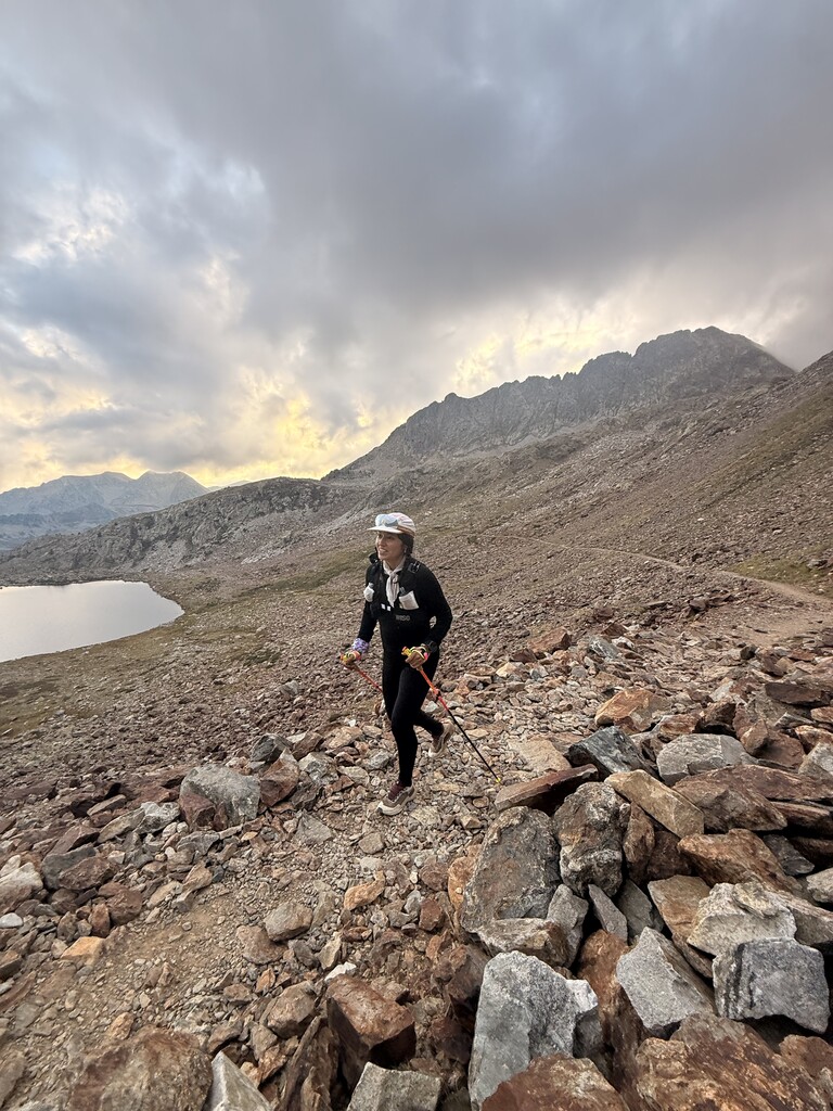
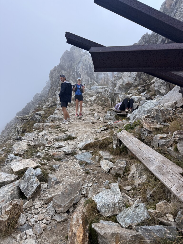
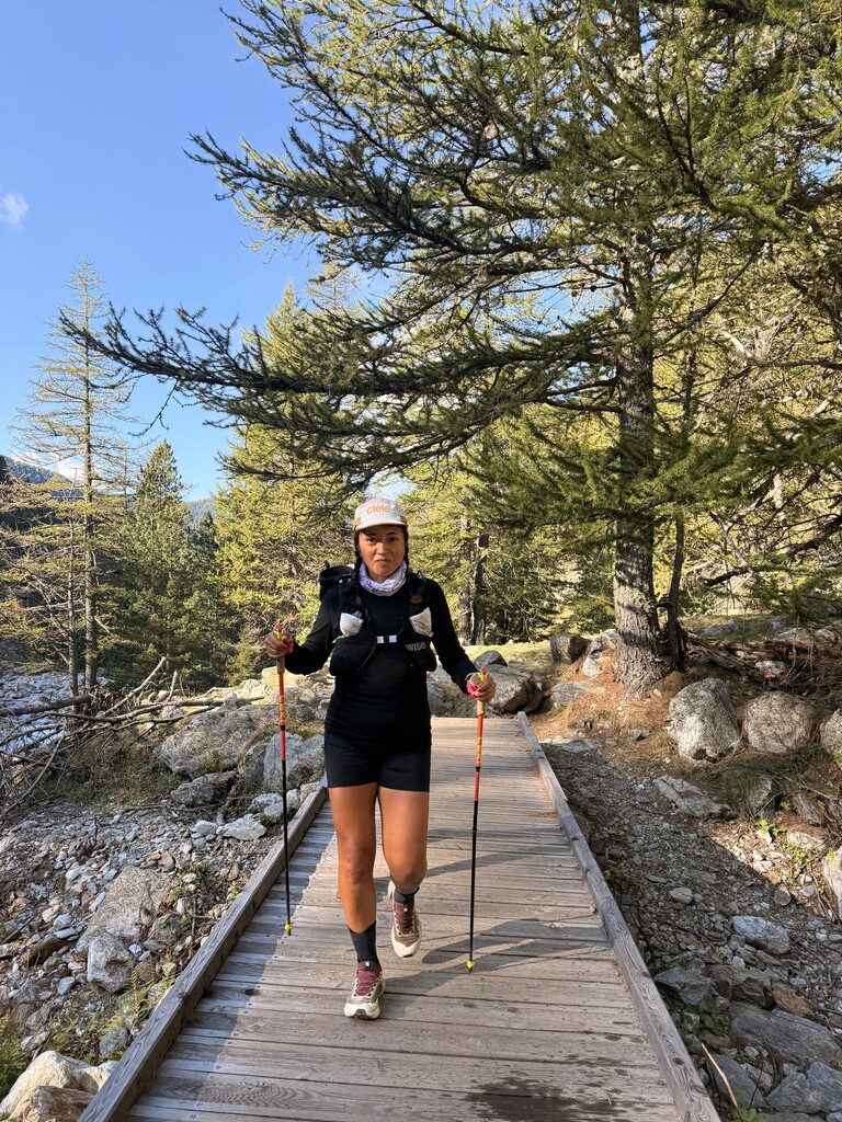
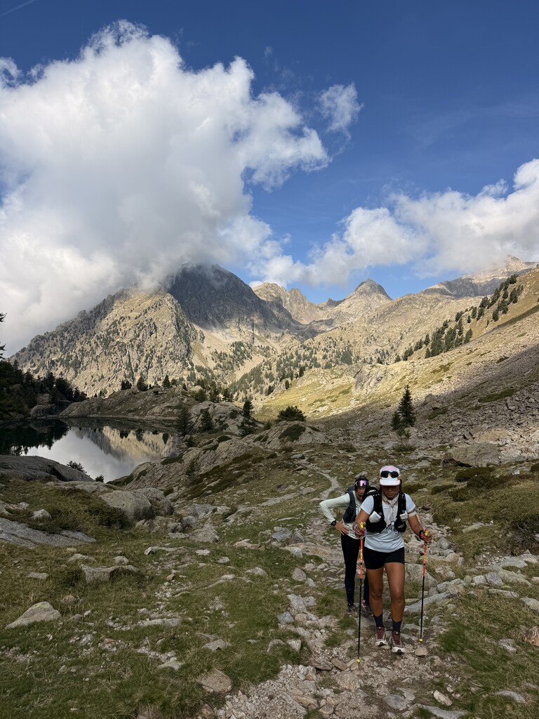
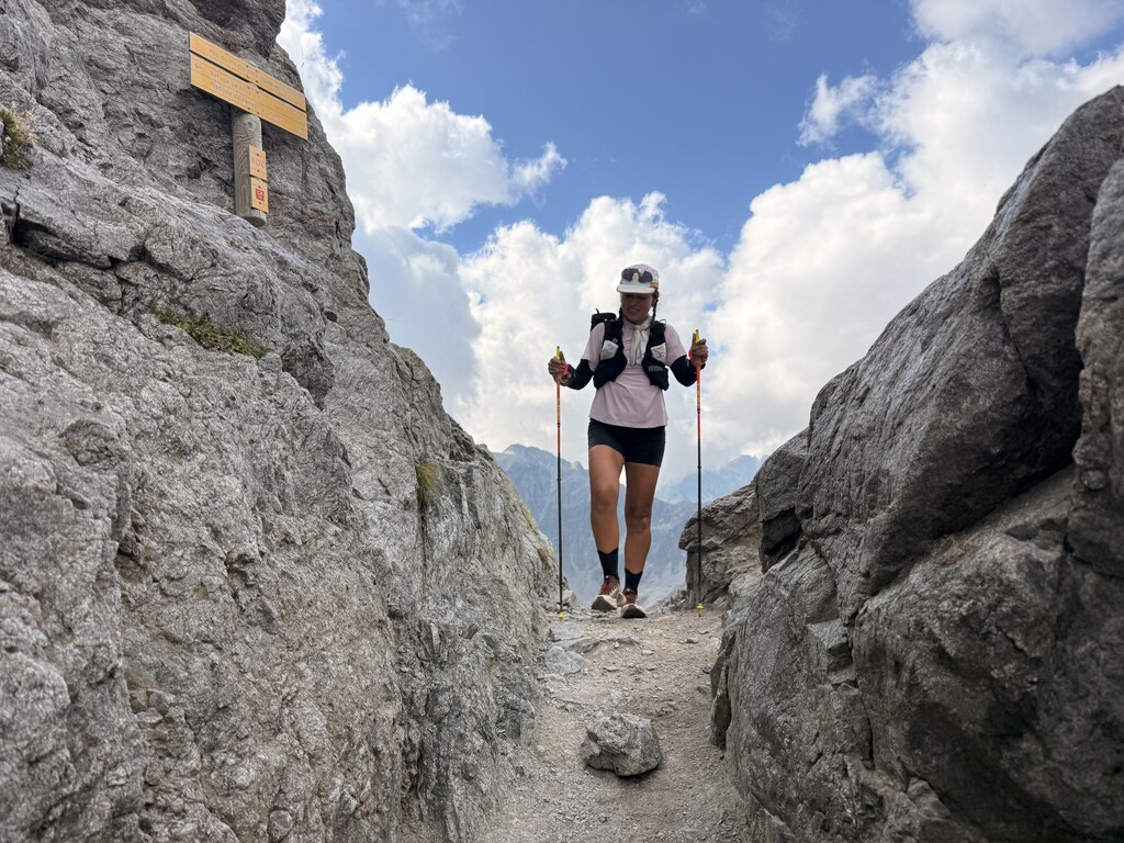
The GTM is not a route where distance alone tells the story. Much of the terrain is technical high mountain terrain, with long sections that are difficult to run, particularly with accumulated fatigue. Progress can therefore be considerably slower than the distance and elevation profile might suggest.
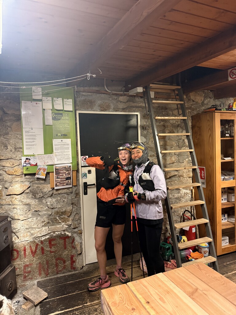
Several important refuges — including Vens, Rabuons, Questa, Cougourde, Nice and Merveilles — cannot simply be reached by the support car. This makes planning food, equipment, sleep and pacer changes particularly important.
I used three main sleep stops: approximately three hours at Refuge de Vens, three hours at Rifugio Questa and three hours at Refuge des Merveilles, together with several 10–25 minute micro-naps during the crossing.
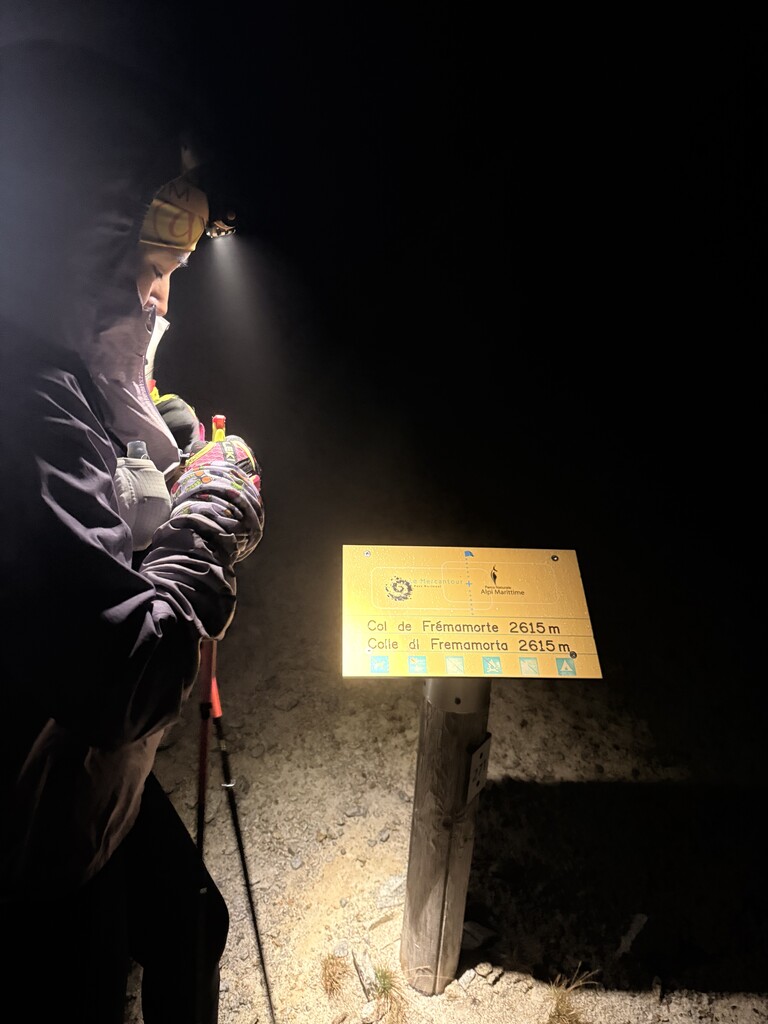
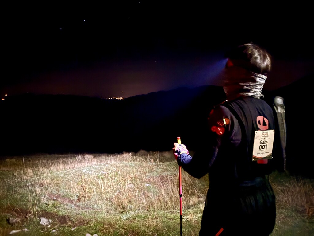
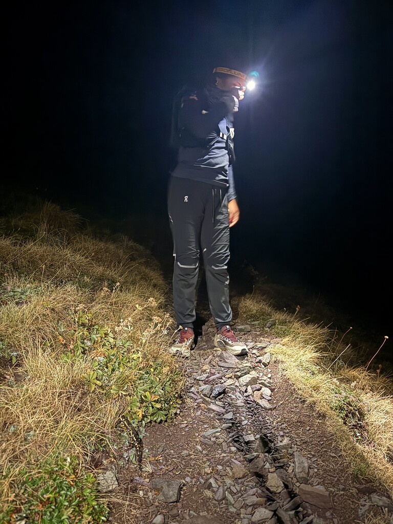
The second night, leaving Questa, was particularly difficult. I was cold, tired and dealing with digestive problems. The third night around Merveilles was probably the lowest-energy point of the attempt.
Conditions changed considerably throughout the crossing: cold nights at altitude, rain and thunderstorms in the mountains, followed by strong sun and temperatures approaching 30°C during the descent towards Menton.
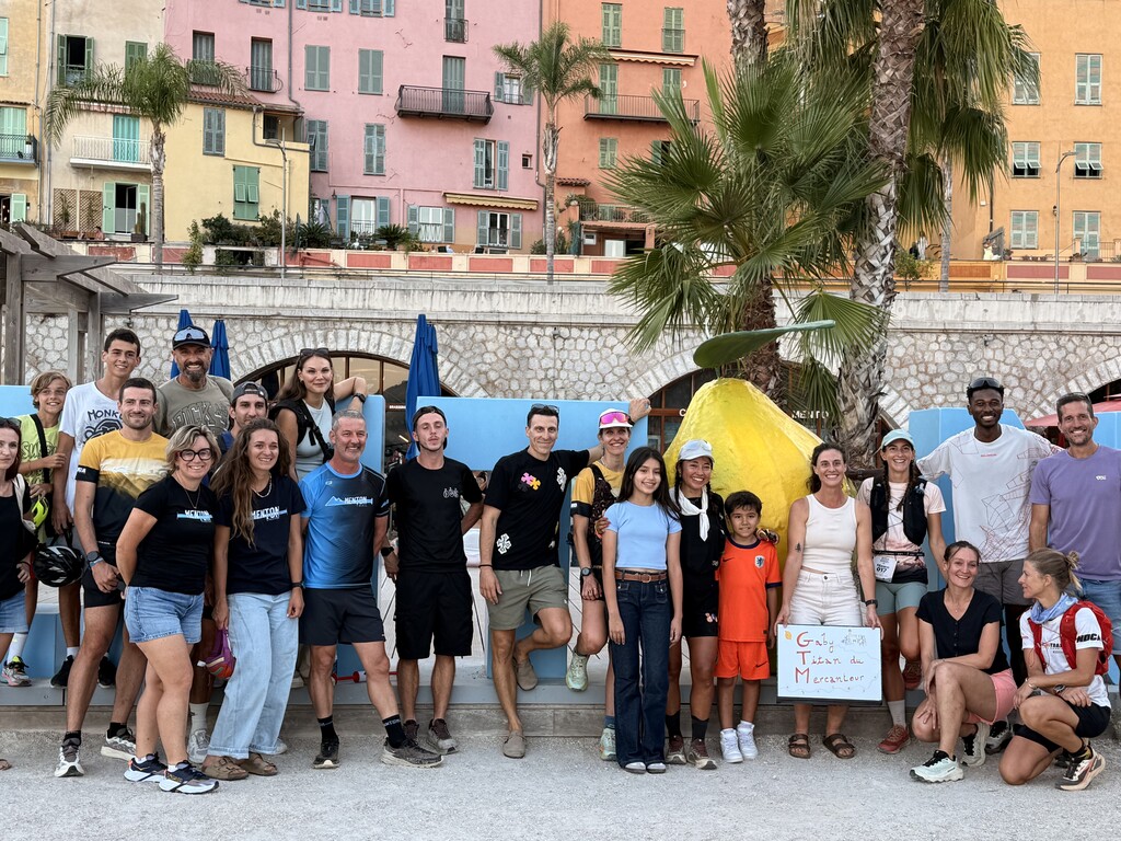
After 83 hours, 51 minutes and 10 seconds, I reached Menton.
Important Notes for Future Attempts:
For anyone considering this route, I would strongly recommend treating the GTM as a high-mountain project rather than simply a long trail run.
The terrain is technical and often slow. There are significant stretches where running is difficult or unrealistic, and many areas are remote from road access. A realistic schedule should therefore be based on terrain and actual mountain pace rather than distance alone.
Refuge logistics need to be planned carefully. Check well in advance which refuges will be open on the dates of the attempt, their opening and meal times, whether food will still be available if arriving late, and whether sleeping places need to be reserved. This becomes particularly important towards the end of the summer season: from mid-September onwards, some refuges may reduce services or close.
Do not assume that every refuge can charge phones, GPS devices or external batteries. Battery autonomy should be planned independently, especially for an attempt lasting several days.
Weather can deteriorate very quickly at altitude. Even during summer, I would plan for three different scenarios: a cold kit, a rain kit and a hot-weather kit. Conditions during the same crossing can range from very cold mountain nights to intense heat at lower altitude.
Water also requires advance planning. It is not reliably available everywhere, and the section between Camp d'Argent and Menton deserves particular attention. Carrying capacity and refill points should be identified before the attempt rather than assumed on the day.
Finally, road access for the support team is limited. Food, clothing, batteries and other essential equipment need to be positioned strategically, and anything required between accessible assistance points may need to be carried by the athlete or pacers.
For me, the GTM required as much logistical preparation as physical preparation.
Support and Verification:
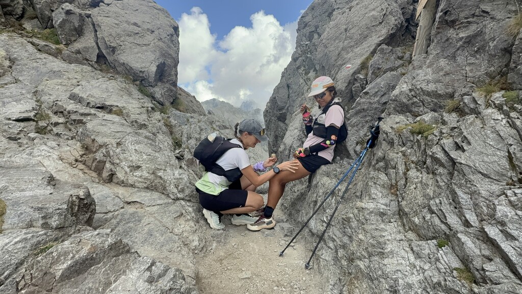
This was a Supported attempt. From Saint-Dalmas Le Selvage onwards, pacers accompanied me through different sections and assisted with navigation, safety and equipment. My crew provided food, hydration, clothing, rest and logistical support wherever access was possible.
I covered the entire route myself on foot.
There were a few minor navigation errors and short departures to access refuges or assistance points. When I inadvertently left the intended route, I returned to it before continuing. All movements remain visible in my original, unedited Garmin FIT file. Your prior report already documented these route deviations and the GPS evidence.
For transparency, my Garmin recording begins approximately 120 m from the first coordinate of the reference GPX; I passed within approximately 9 m of that coordinate about 2m34 after starting. My final Garmin point in Menton is approximately 13 m from the reference GPX endpoint.
The original Garmin Enduro 3 FIT recording runs from September 16 at 07:00:18 to September 19 at 18:51:28, giving an elapsed time of:
83h 51m 10s.
My Garmin inReach Mini 2 also provided independent satellite tracking throughout the attempt. The first MapShare point at Entraunes is timestamped 07:00:15 on September 16, and MapShare contains a point in Menton at 18:55:15 on September 19.
GPS evidence:
Garmin Connect activity https://connect.garmin.com/app/activity/24423235592
Strava activity https://www.strava.com/activities/20244394467
Garmin inReach / MapShare tracking https://share.garmin.com/gabygtm